Week 4: Mont des Morios, QC to Monts Groulx, QC
Sunday, July 20
Mont des Morios
Once again we woke to a beautiful lake view, this time on Lac Boudreault at the base of Mont Morios:

Today’s hike was up
Mont des Morios, rated as a “hard” hike in
All Trails, which is justified by the ropes in sections:


and more ropes:

and cables:


The reward for the effort are spectacular views in all directions:


and Henry’s favourite view:

but there also were other pretty views along the way:

including some small waterfalls:


We mentioned that we were camped under the high voltage power lines:
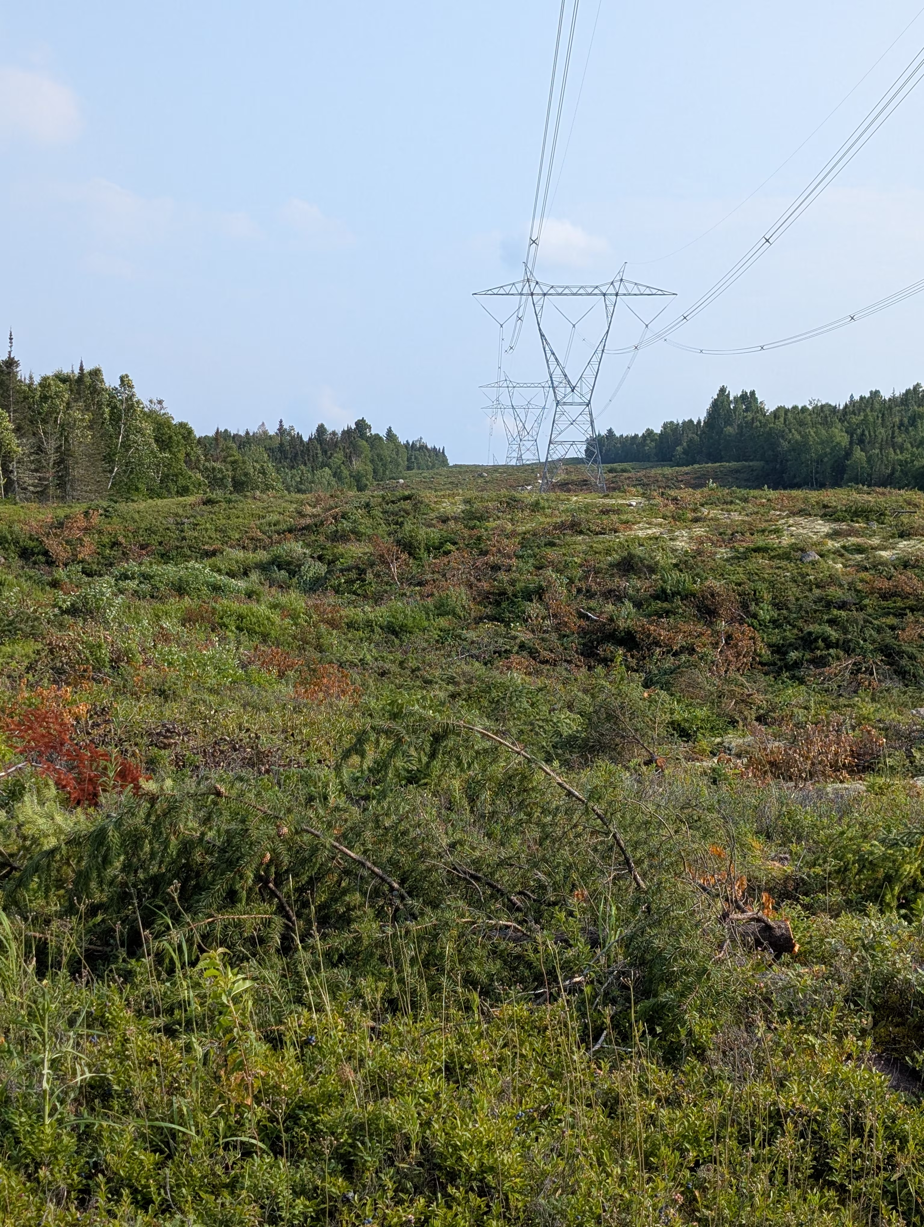 but we did not mention the static and clicking they made which you can hear in this movie. In fact, the electromagnetic field given off by the wires was so strong one afternoon that the panels of Sleepy Hollow got individually charged, which meant that you got a small static charge shock when touching two different panels at the same time. The effect was gone by the next morning.
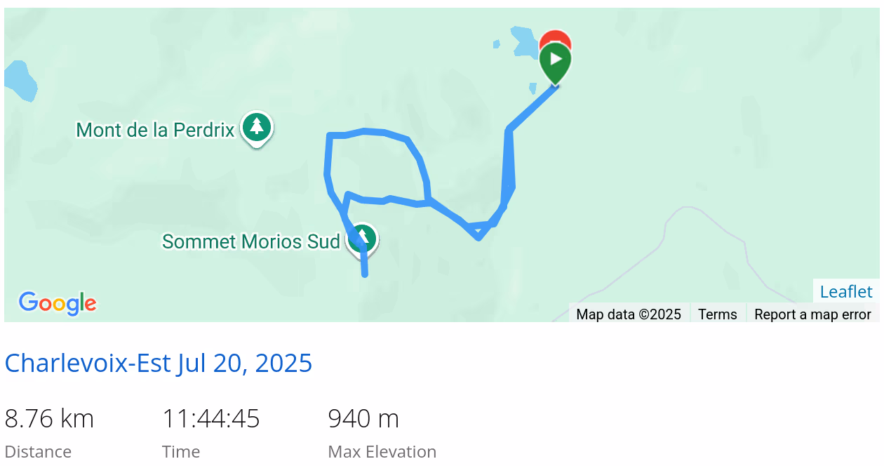
These are our tracks for the day
 *click on the map for more details
Monday, July 21
Les Jardins du Cap-à-lAigle
On our way to Tadoussac, we stopped at
Les Jardins du Cap-à-lAigle to admire the beautiful small waterfalls:


the whimsical garden decorations:

old church bells:

and the absurd:

Tadoussac
That afternoon, after waiting in line for two hours, we caught the ferry to Tadoussac (which is the only way to get there without detouring through Saguenay):

At least Sleepy Hollow was front and centre on the ferry:

We saw some Beluga whales, but the pictures did not show them well.
That evening we had a lovely dinner at
Chalet Mathilde:
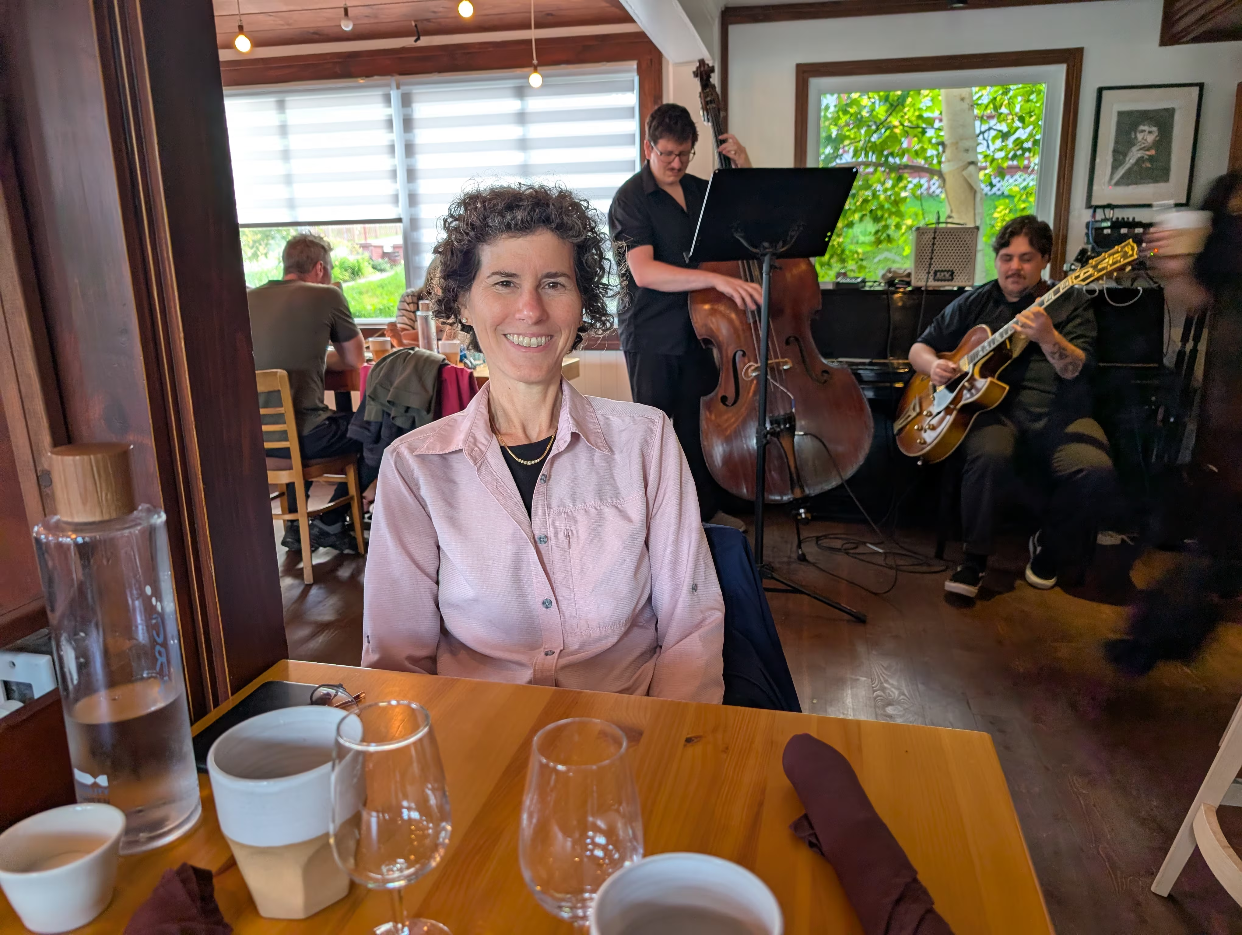 Gail had “La grande Côte” (turf) with wine pairing while Henry had “Le St-Laurent” (surf) without wine pairing because he was the designated driver. All the food is local and it was wonderful. Most interesing of all was the seal on Henry’s selection.
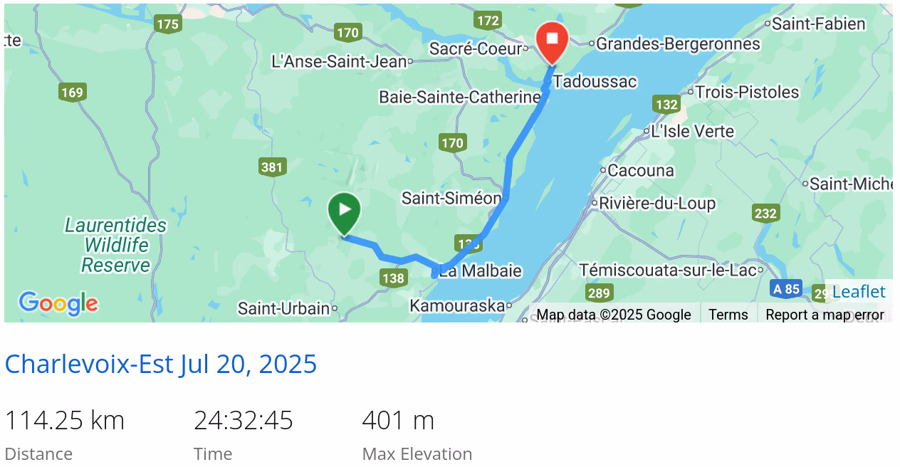
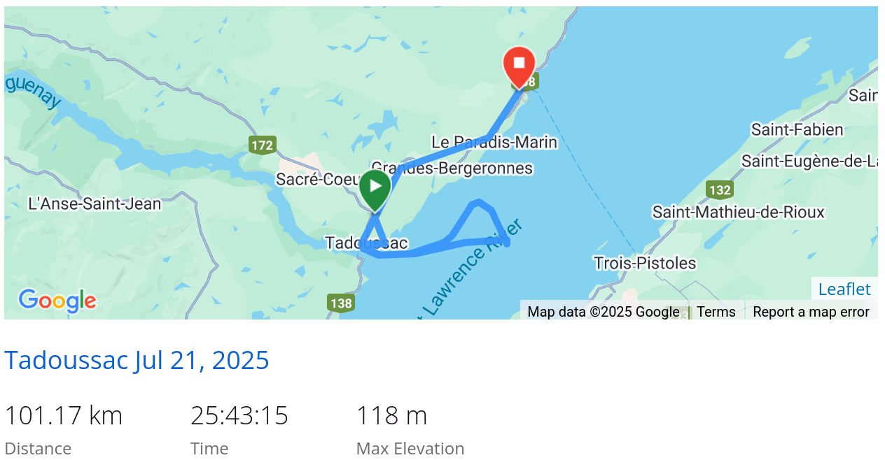
These are our tracks for the day
 *click on the map for more details
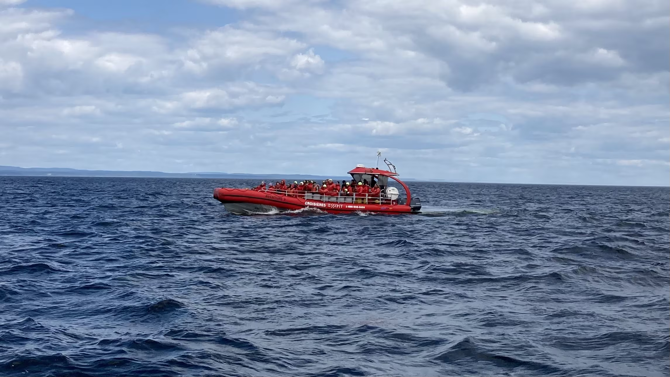
Tuesday, July 22
Tadoussac
Today, we went whale watching but not on this boat:
 where we saw five different whale species:
- Blue Whale
- Fin Whale
- Minke
- Humpback
- Beluga (Gail not Henry) Seeing so many species is common from Tadoussac, which is why it is the best place on the Saint Lawrence to see whales, and one of the best in the world.
None of the pictures came out, but we did get a movie of a Blue Whale diving.
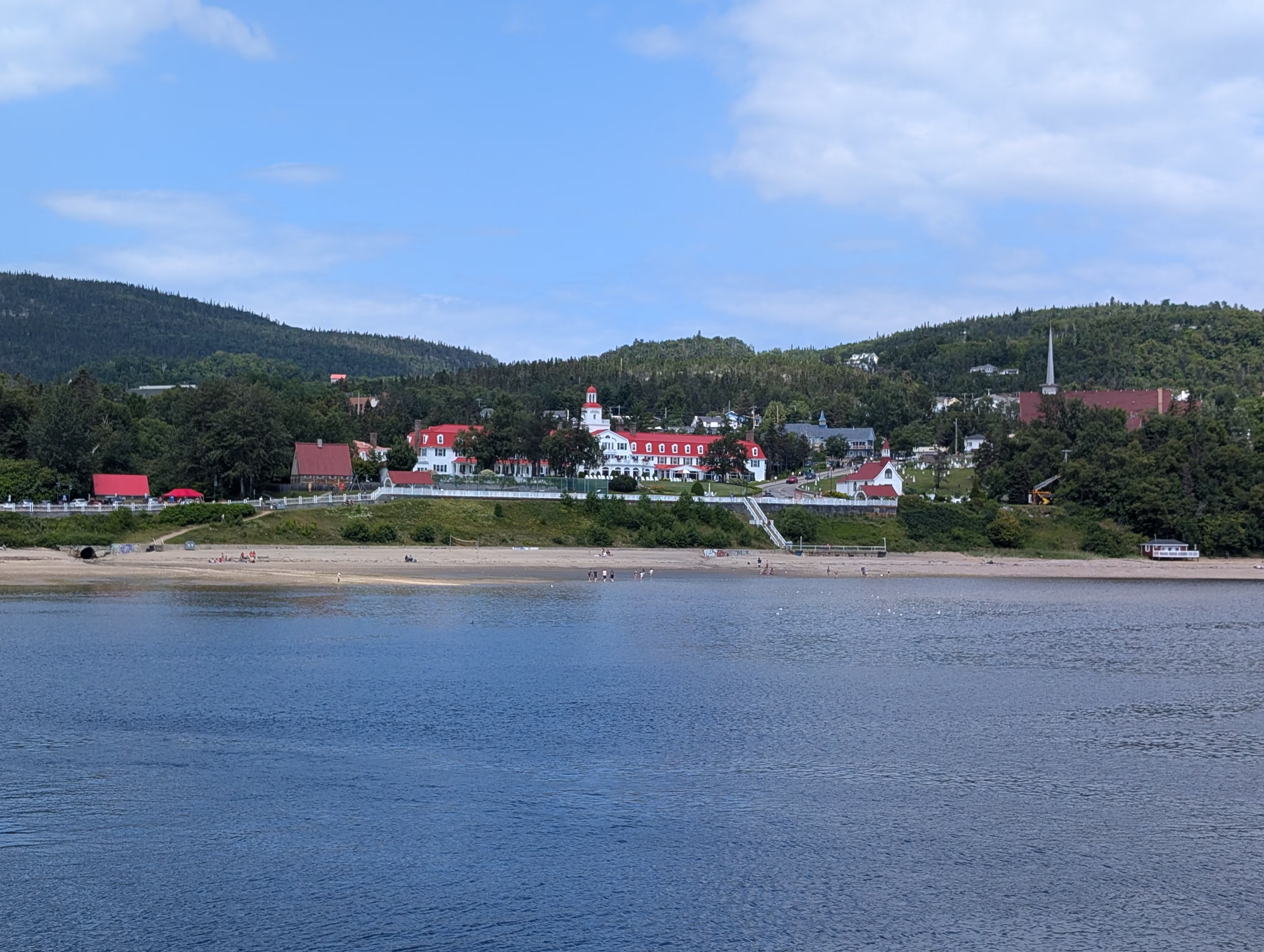
Tadoussac is a pretty resort town with the landmark
Hôtel Tadoussac which we did not have time to visit:
 and many small bistros, some of which look out onto public venues with live entertainment:

These are our tracks for the day
 *click on the map for more details
Wednesday, July 23
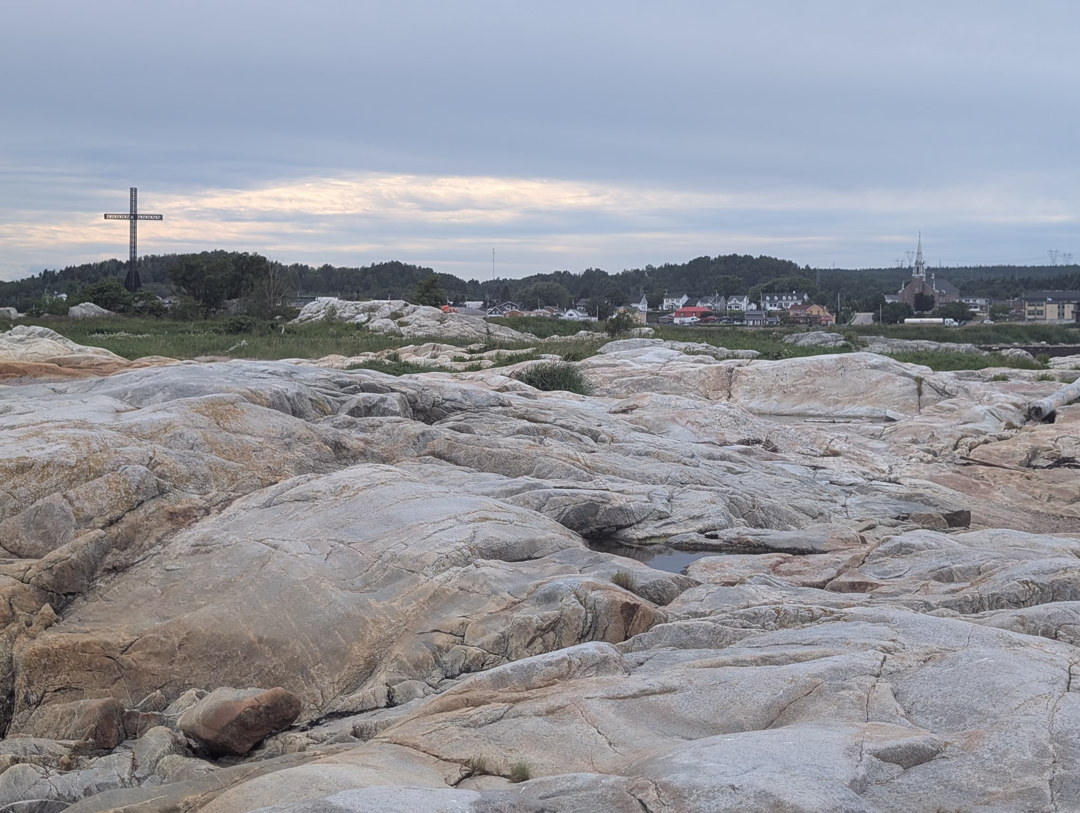
Les Escoumins
Last night we stayed in River Park in Les Escoumins which has free camping for RVs. Whats more, the sites are much nicer than many commercial RV campgrounds because there is some space between each of the sites.
Our site had a view of the river which was a little upstream from the park falls:

Les Escoumins is known for its large iron cross which is a well known landmark for seamen:

Iles de Ragueneau Archipelago
We got a surprise on our little hike at Iles de Ragueneau Archipelago where we saw some dinosaurs!


These are our tracks for the day
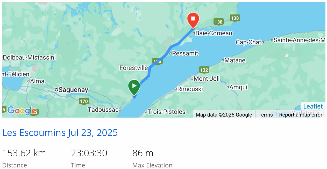 *click on the map for more details
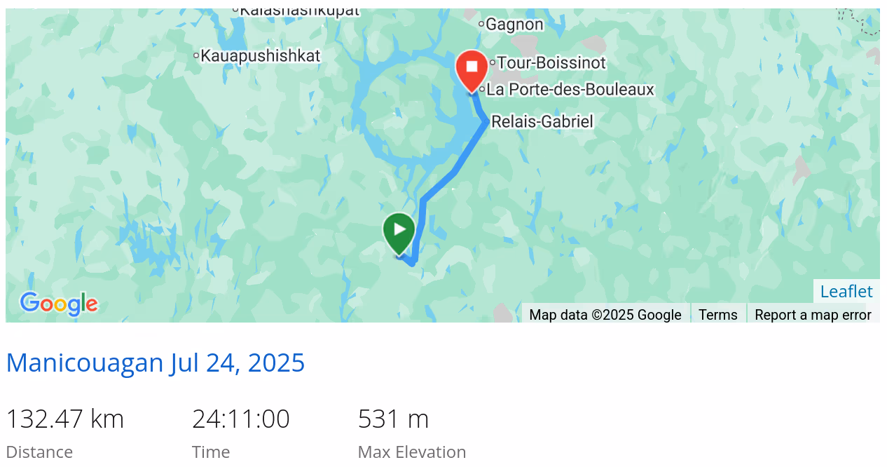
Thursday, July 24
Rivière Manicouagan
After doing laundry and picking up groceries in Baie-Comeau, we drove along the Rivière Manicouagan:


past a little dam:

past a little (sarcasm-;) electrical distribution station:

to our boondock on Lac Doreen:
 which was down a road so narrow that we brushed against branches on both sides of the vehicle, and ended in a spot that needed five points to turn around!
These are our tracks for the day
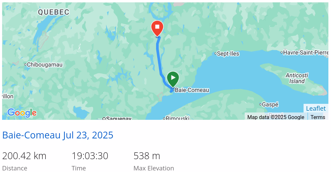 *click on the map for more details
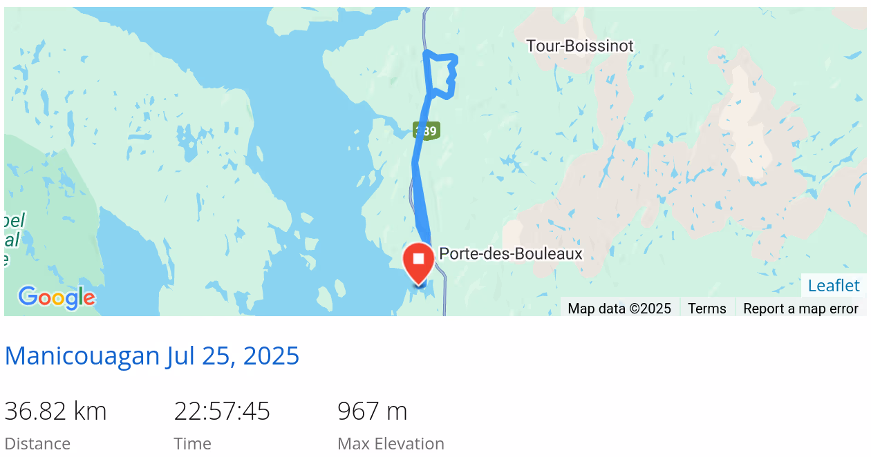
Friday, July 25
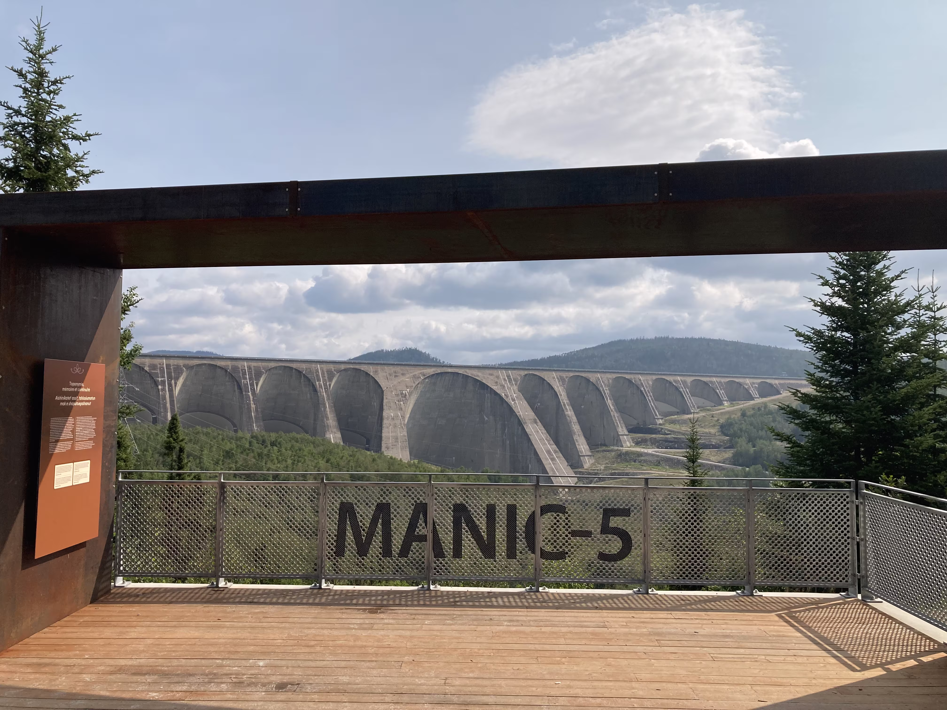
MANIC-5
Our evening view of Lac Doreen did not prepare us for the beauty of the morning view:


On our way out, we stopped at the MANIC-5 Belvédère:
 This belvédère tells the story of the Inuit in the regieon, in particular those who were flooded out by the dam, some without warning. This is sad considering it happened relatively recently (1962-1968), within our life times.

From the picture, you can see that MANIC-5, formally named the Daniel‑Johnson Dam, is huge. In fact, it is the highest multiple-arch-and-buttress dam in the world.
Turns out, it is also the biggest attraction on the 600 km long road between Baie-Comeau and Labrador City. There is a information centre and guided tours inside and on MANIC-5. Normally you need to reserve 24 hours in advance, but we were lucky and were able to sneak in on a tour due to no-shows;-)
This picture of the main arch does not convey its massiveness.

We got some good pictures from the top of the dam:

including looking across the reservoir to the employees residence:

This graphic puts MANIC-5 in prospective:

The tour included a stop at an on-site belvédère:

where we got a slightly different perspective on the dam:


When we left MANIC-5, the highway took us from the bottom of the dam to the top on some pretty significant grades:

Monts Groulx
After MANIC-5, we headed to the Monts Groulx region

and boondocked on the edge of Lac Manicouagan

These are our tracks for the day
 *click on the map for more details
Saturday, July 26
Monts Groulx
Not quite as pretty as yesterday, but…

Today’s activities were a 13km bicycle ride (including three big hills) to a 11km hike up Mont Harfang:

which has great views of Manicouagan Crater Lake and René-Levasseur Island:


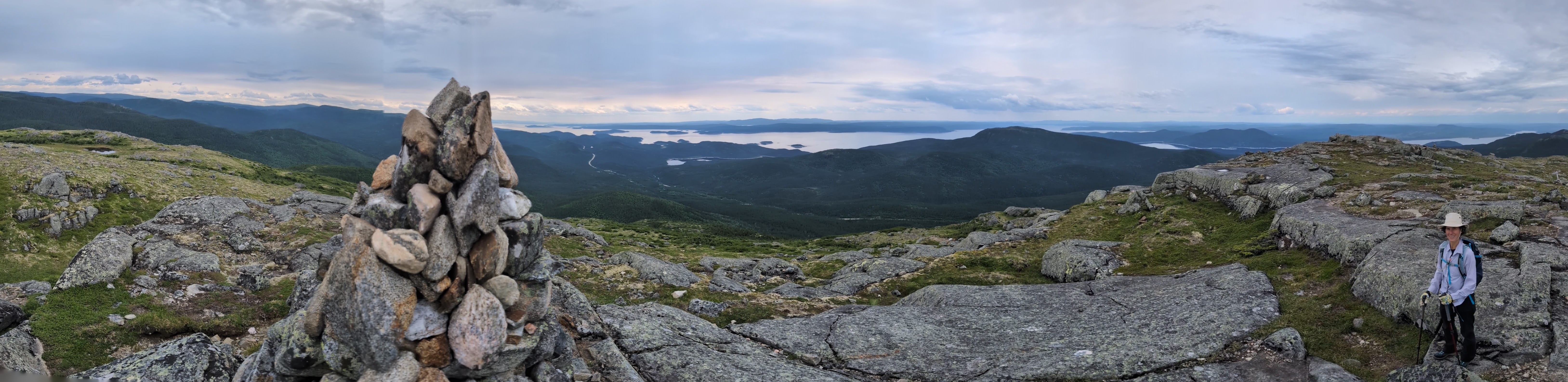 *click on the panoramic image to enlarge it


Don’t forget that we had a return 13km bike ride after the 11km hike with its 650 m vertical gain.
These are our tracks for the day
 *click on the map for more details
More to Come
Stay tuned for next week’s blog and don’t forget to see where we are right now (updated every ten minutes). And last week’s blog is available, in case you missed it.