The Cote Nord - 850 km - 6 days
July 22-27 was spent travelling the 750 km from Tadoussac along the St. Lawrence River to Baie-Comeau and then north along Rivière Manicouagan to Fremont (just across the border from Labrador City) in the Cote-Nord.
Tadoussac
Monday evening we had a lovely dinner at Chalet Mathilde:
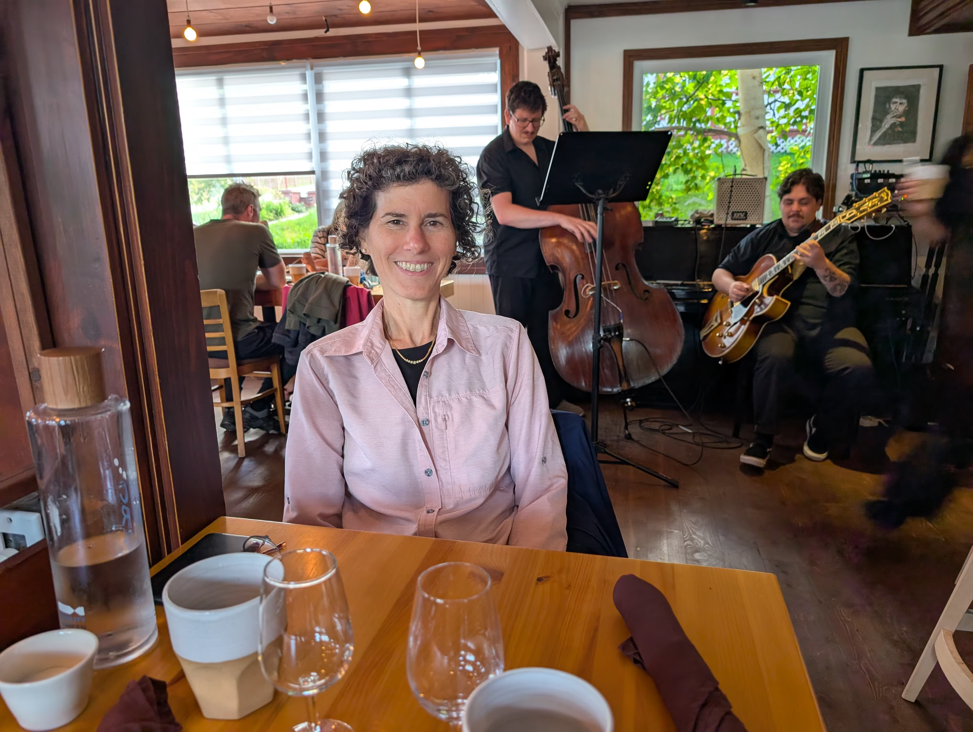
Gail had “La grande Côte” (turf) with wine pairing while Henry had “Le St-Laurent” (surf) without wine pairing because he was the designated driver. All the food is local and it was wonderful. Most interesing of all was the seal on Henry’s selection.
On Tuesday, we went whale watching but not on this boat:
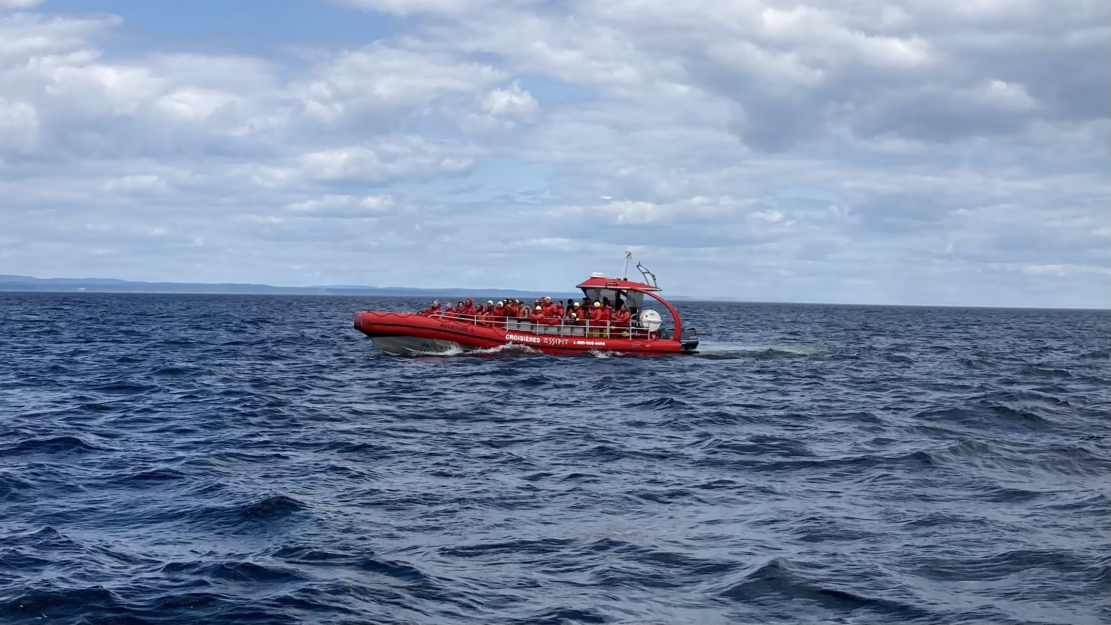
but we wish we had been on that boat.
where we saw five different whale species:
- Blue Whale
- Fin Whale
- Minke
- Humpback
- Beluga (Gail not Henry) Seeing so many species is common from Tadoussac, which is why it is the best place on the Saint Lawrence to see whales, and one of the best in the world.
None of the pictures came out, but we did get a movie of a Blue Whale diving.
Tadoussac is a pretty resort town with the landmark Hôtel Tadoussac which we did not have time to visit:
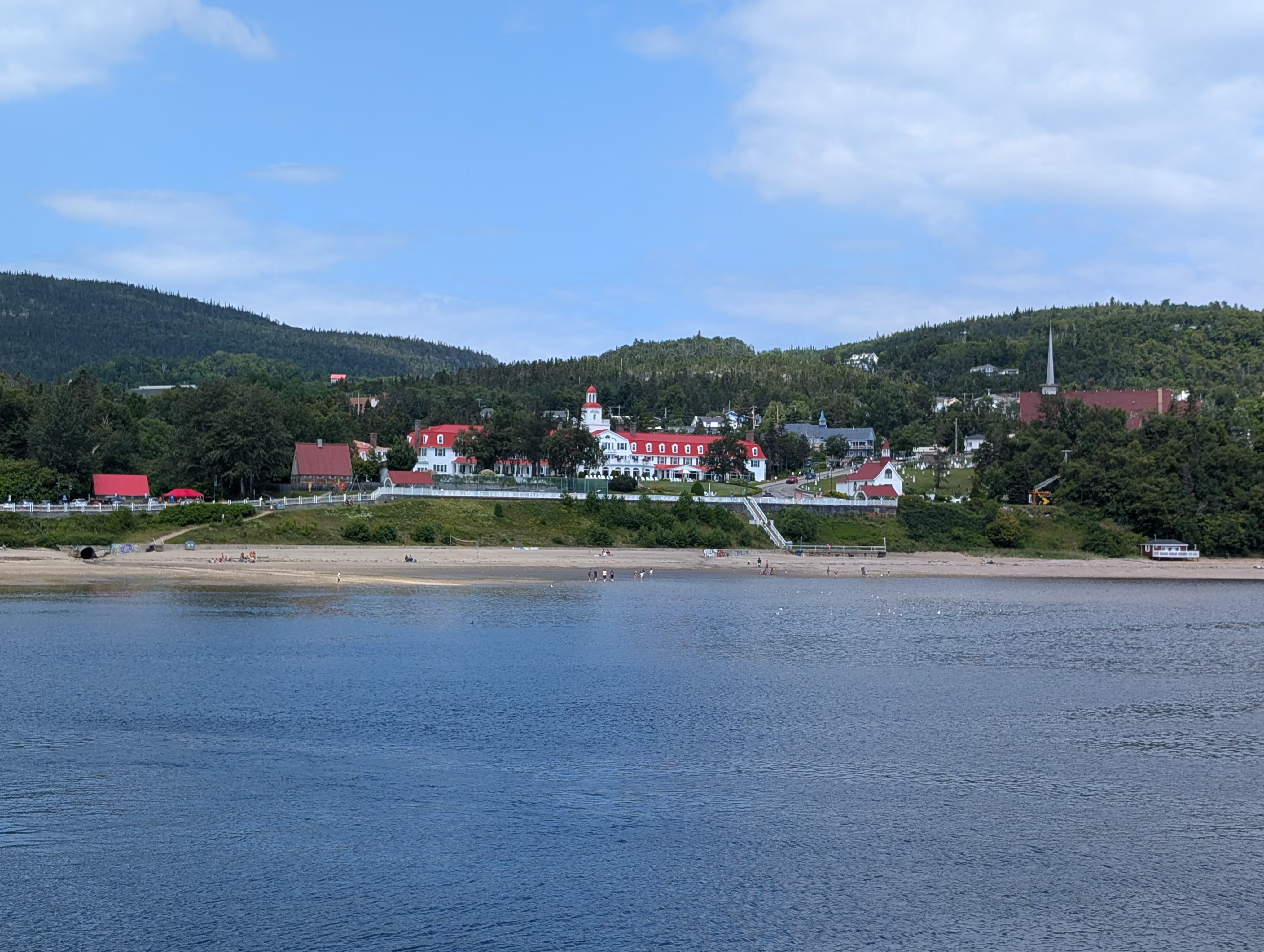
and many small bistros, some of which look out onto public venues with live entertainment:

Les Escoumins
In the afternoon we headed to Les Escoumins where we stayed in River Park which has free camping for RVs. Whats more, the sites are much nicer than many commercial RV campgrounds because there is some space and trees and shrubs between most of the sites.
These are our tracks for Tuesday, Jul 22
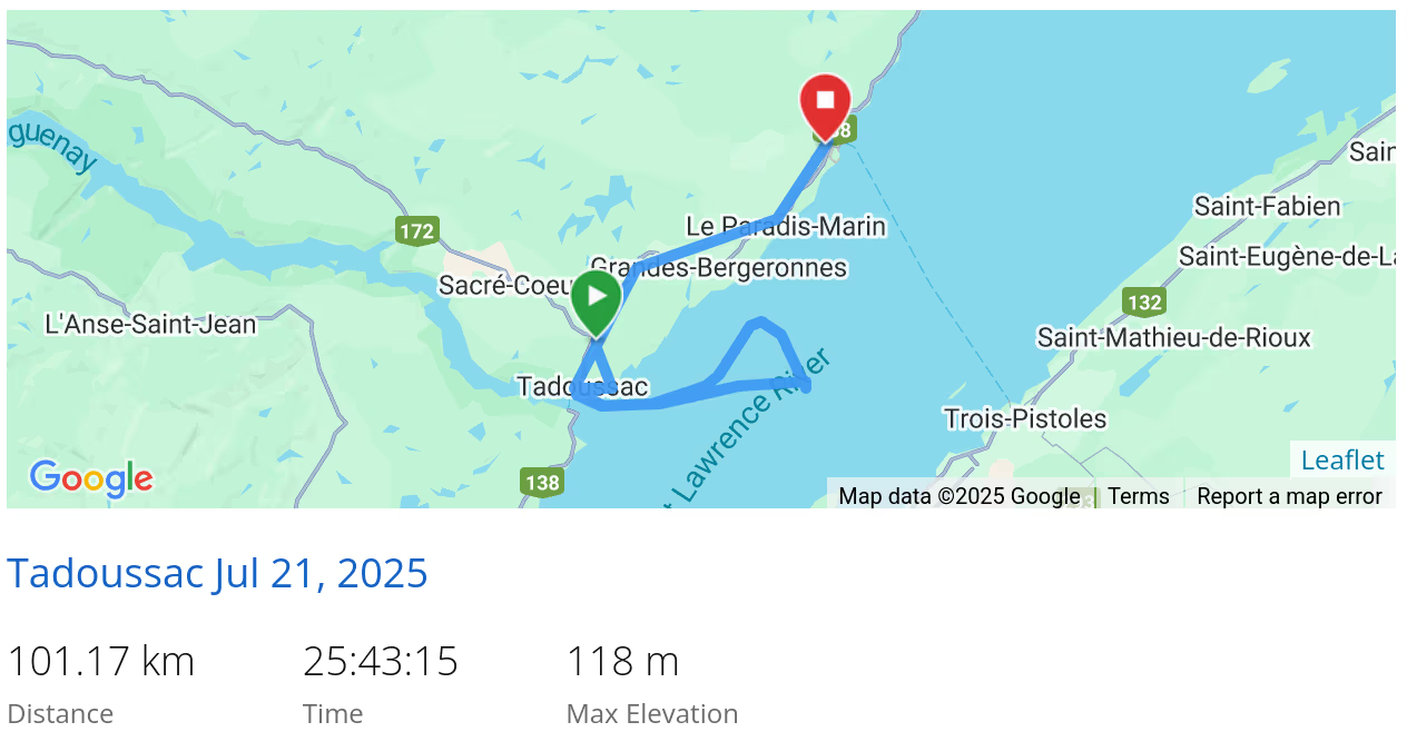 *click on the map for more details
Les Escoumins
On Wednesday morning we explored the falls in the River Park:

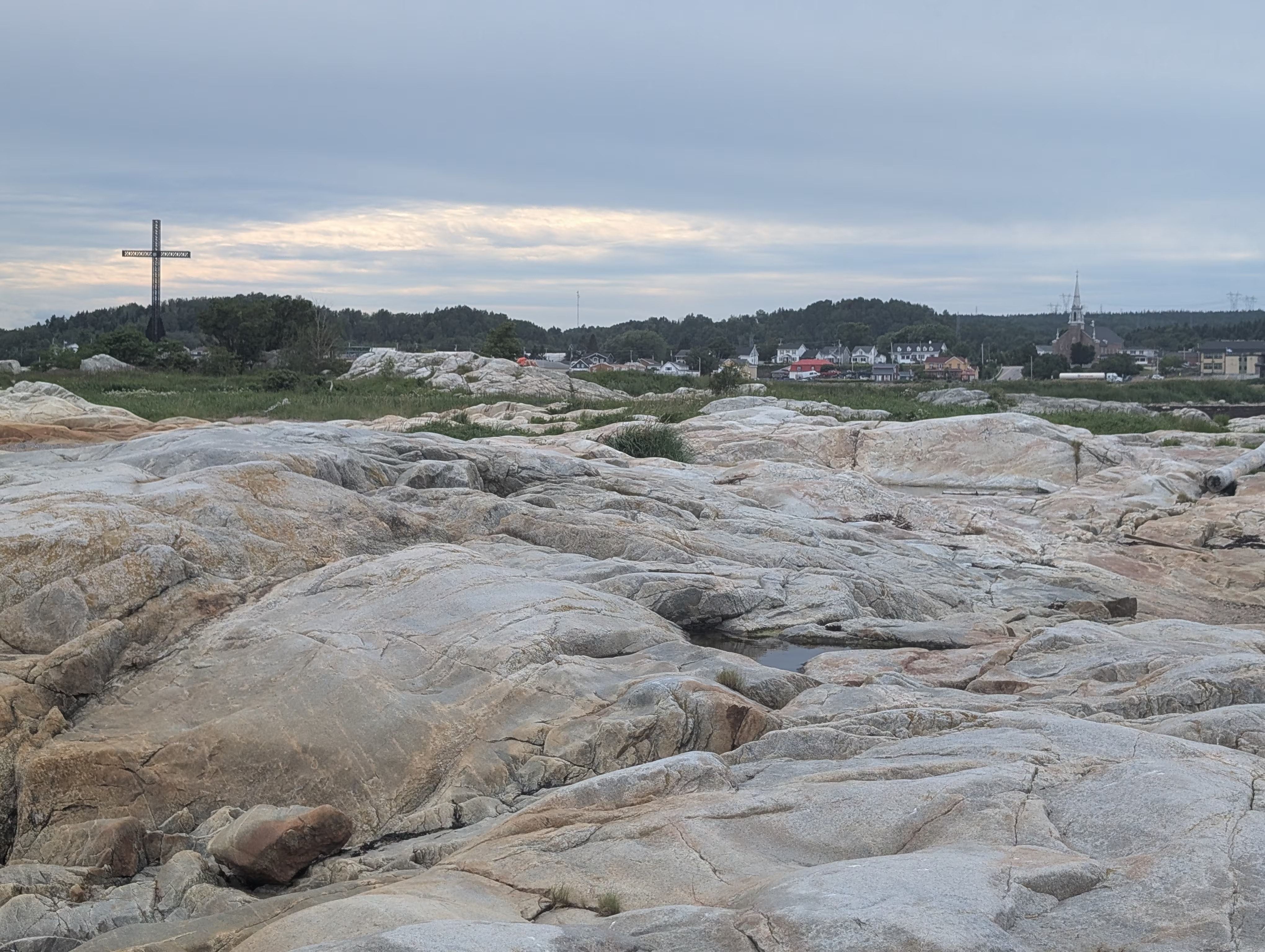
Les Escoumins has large iron cross which is a well known landmark for seamen:

Iles de Ragueneau Archipelago
Later on Wednesay, we got a surprise on our little hike at Iles de Ragueneau Archipelago where we saw some dinosaurs!


These are our tracks for Wednesday, Jul 23
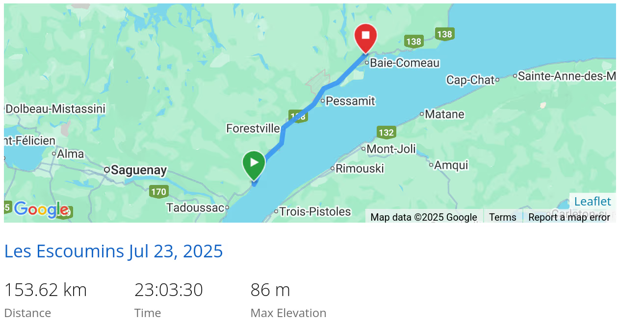 *click on the map for more details
Rivière Manicouagan
Thursday, after doing laundry and picking up groceries in Baie-Comeau, we departed the St Lawrence River and drove north along the Rivière Manicouagan:


past a little dam:

past a little (sarcasm-;) electrical distribution station:

before heading to Lac Doreen for the evening.
These are our tracks for Thursday, Jul 24
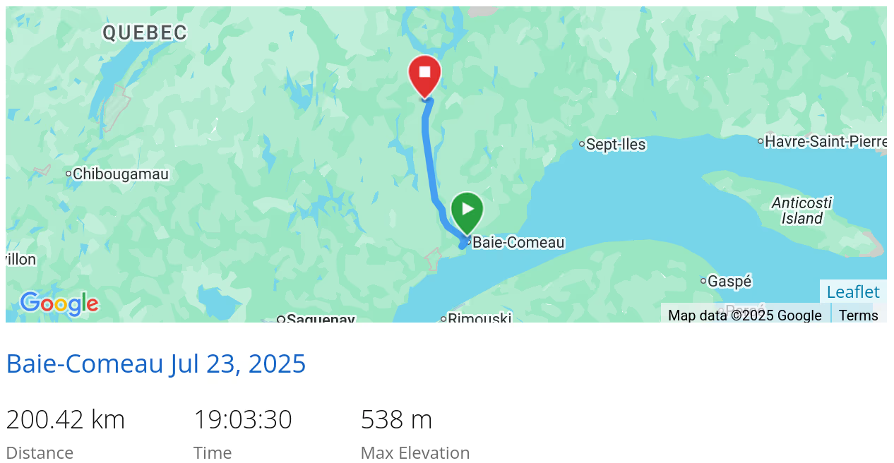 *click on the map for more details
Lac Doreen Boondock
Thursday night was spent on Lac Doreen
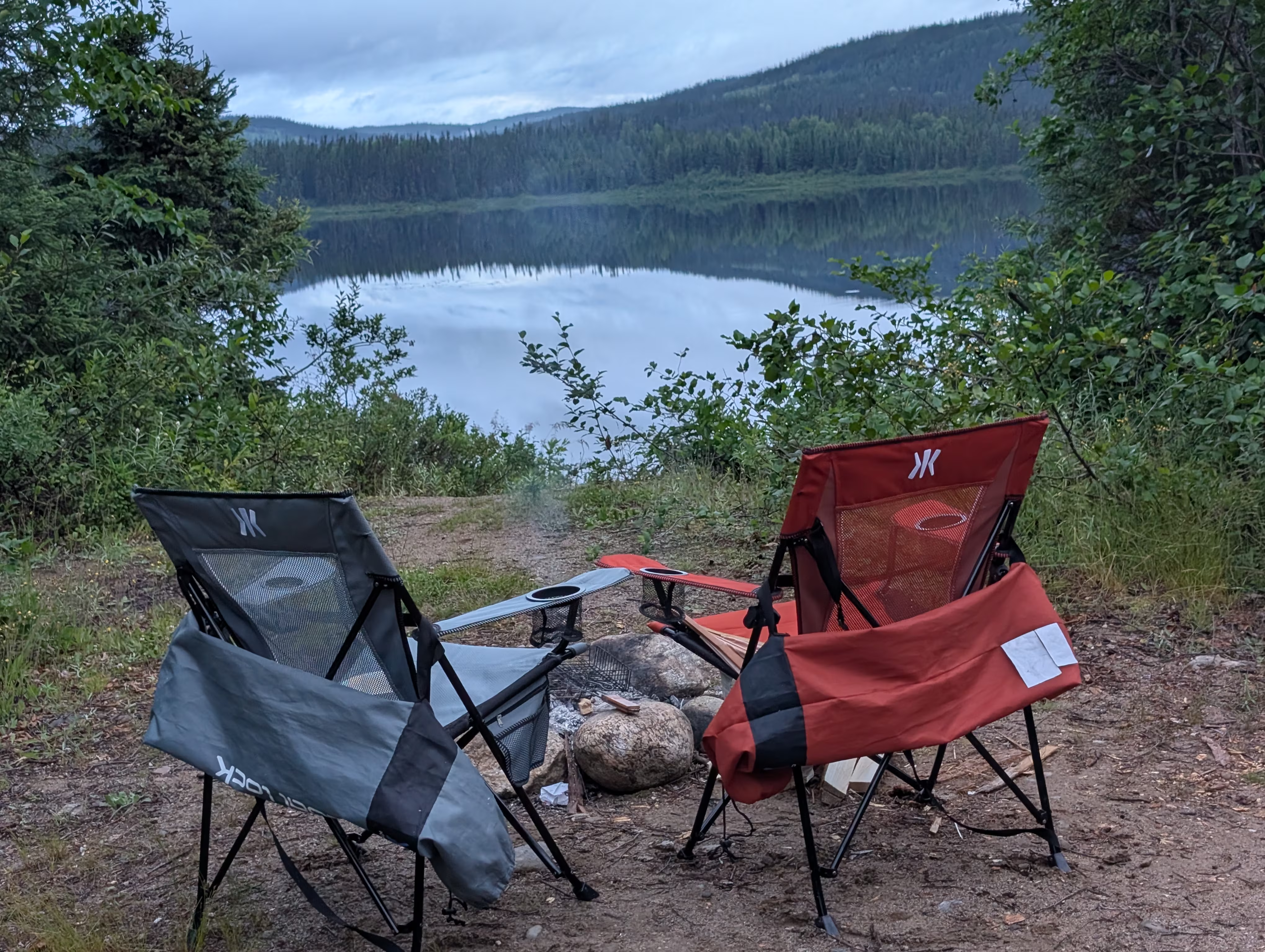
which was down a road so narrow that we brushed against branches on both sides of the vehicle, and was in a spot so small that a five points turn was needed to get out!
Our evening view of Lac Doreen did not prepare us for the beauty of the Friday morning views of the lake:


MANIC-5
On our way out, we stopped at the MANIC-5 Belvédère:
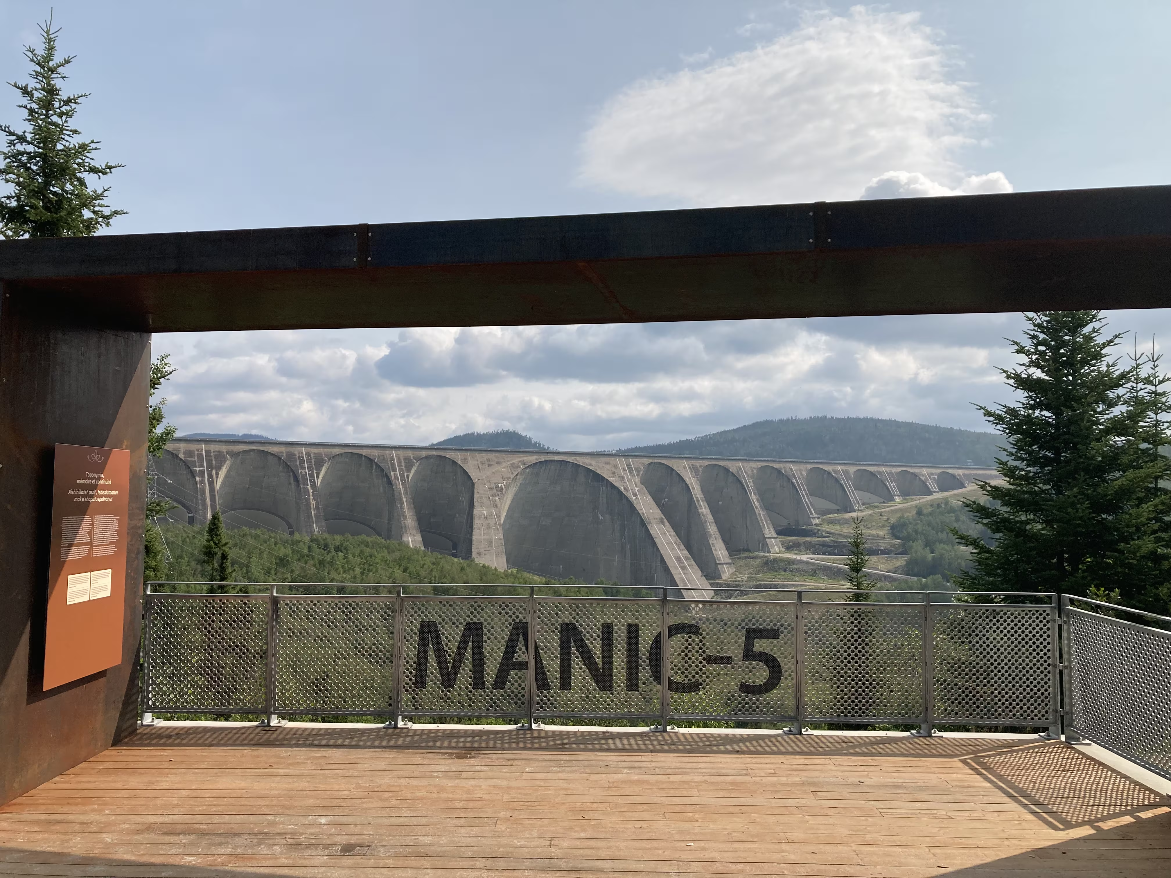
This belvédère tells the story of the Inuit in the regieon, in particular those who were flooded out by the dam, some without warning. This is sad considering it happened relatively recently (1962-1968), within our life times.

From the picture, you can see that MANIC-5, formally named the Daniel‑Johnson Dam, is huge. In fact, it is the highest multiple-arch-and-buttress dam in the world.
Turns out, it is also the biggest attraction on the 600 km long road between Baie-Comeau and Labrador City. There is a information centre and guided tours inside and on MANIC-5. Normally you need to reserve 24 hours in advance, but we were lucky and were able to sneak in on a tour due to no-shows;-)
This picture of the main arch does not convey its massiveness.

We got some good pictures from the top of the dam:

including looking across the reservoir to the employees residence:

This graphic puts MANIC-5 in prospective:

The tour included a stop at an on-site belvédère:

where we got a slightly different perspective on the dam:


When we left MANIC-5, the highway took us from the bottom of the dam to the top on some pretty significant grades:

After MANIC-5, we headed to the Monts Groulx area:

and boondocked on the edge of Lac Manicouagan:

On Saturday we woke up to a scene not quite as pretty as yesterday, but…

These are our tracks for Friday, Jul 25
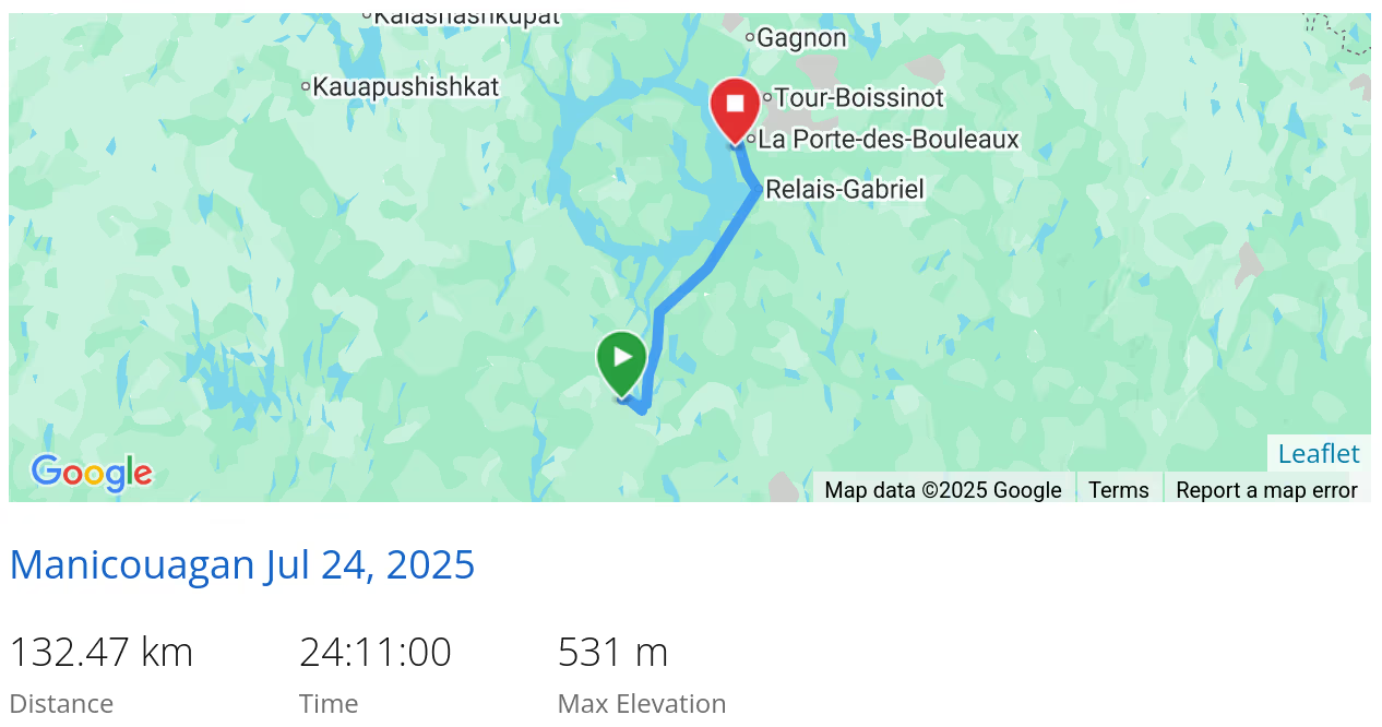 *click on the map for more details
Monts Groulx
Our activities for Saturday were a 13 km bicycle ride (including three big hills) to a 11 Km hike up Mont Harfang which has a 700 m vertical gain:

and has great views of Manicouagan Crater Lake and René-Levasseur Island:


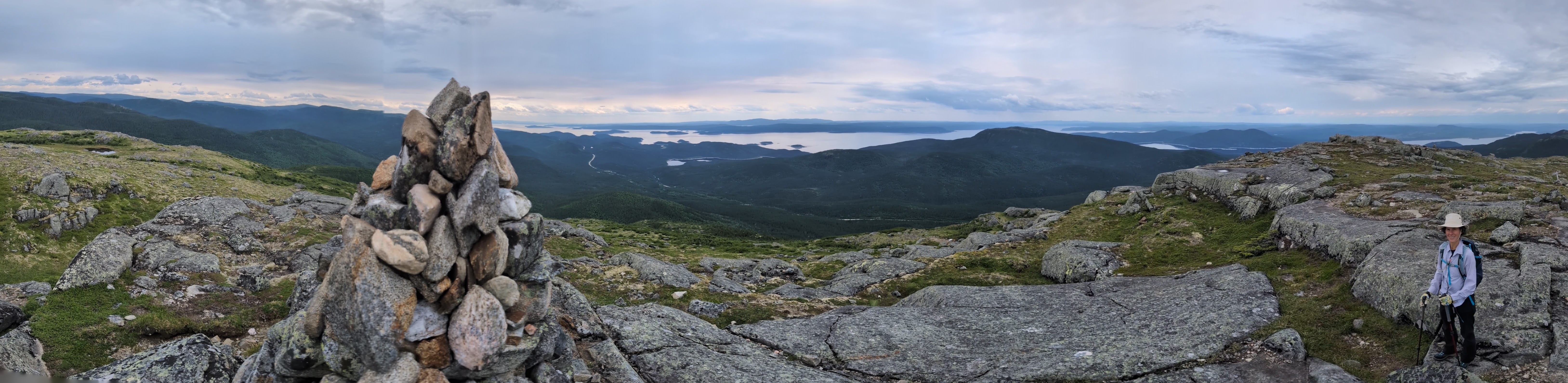 *click on the panoramic image to enlarge it


Don’t forget that we had a return 13 km bike ride after the 11 Km hike with its 650 m vertical gain.
These are our tracks for Saturday, Jul 26
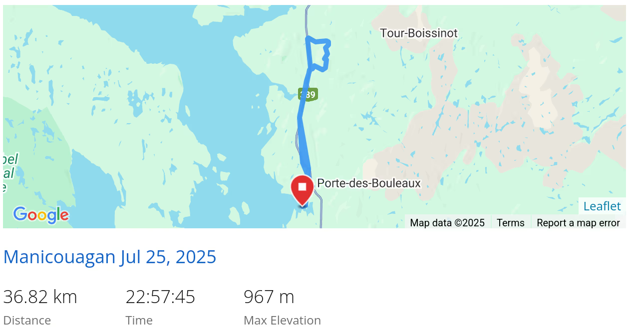 *click on the map for more details
Fermont
On Sunday we drove north to Labrador City passing through the town of Fremont, for which Wikipedia has a good description:
The town is notable for the huge self-contained structure containing apartments, stores, schools, bars, a hotel, restaurants, a supermarket and swimming pool; the large building shelters a community of smaller apartment buildings and homes on its leeward side. Popularly known as The Wall (Le Mur), the structure was designed to be a windscreen to the rest of the town. It permits residents (other than mine workers) to never leave the building during the long winter, which usually lasts about seven months. The town, designed by Maurice Desnoyers and Norbert Schoenauer, was inspired by similar projects in Sweden designed by Ralph Erskine, notably that of Svappavaara, an iron mining town in Sweden. The building measures 1.3 kilometres (4,300 ft) long [6] and stands 15 metres (49 ft) high.
Although The Wall is impressive from the air (see link), we could not get a good picture of it from the ground.
These are our tracks for Sunday, Jul 27
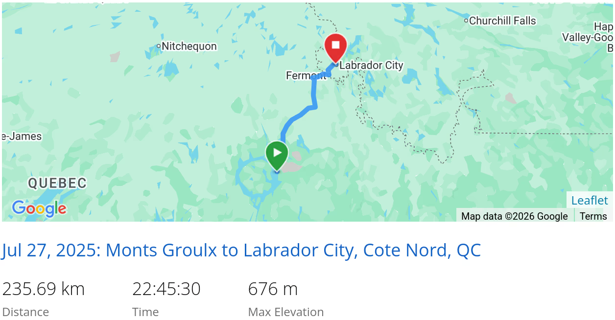 *click on the map for more details
That’s it for the Cote-Nord
If we had more time, we would have:
- Spent more time exploring Tadoussac
- Travelled east of Baie-Comeau to the end of the highway along the northern shore of the St Lawrence River
Next, we are off to Labrador West.
In case you had missed it, we came from the Charlavois.
When we are travelling, our current location is always available and updated every 10 minutes.