Western Newfoundland (North) - 200 km - 2 days
August 6th and 7th were spent exploring the “unremarkable” parts of the northern part of Western Newfoundland.
Saint Barbe
After 5 weeks of RV travel, we finally arrived on the island of Newfoundland.
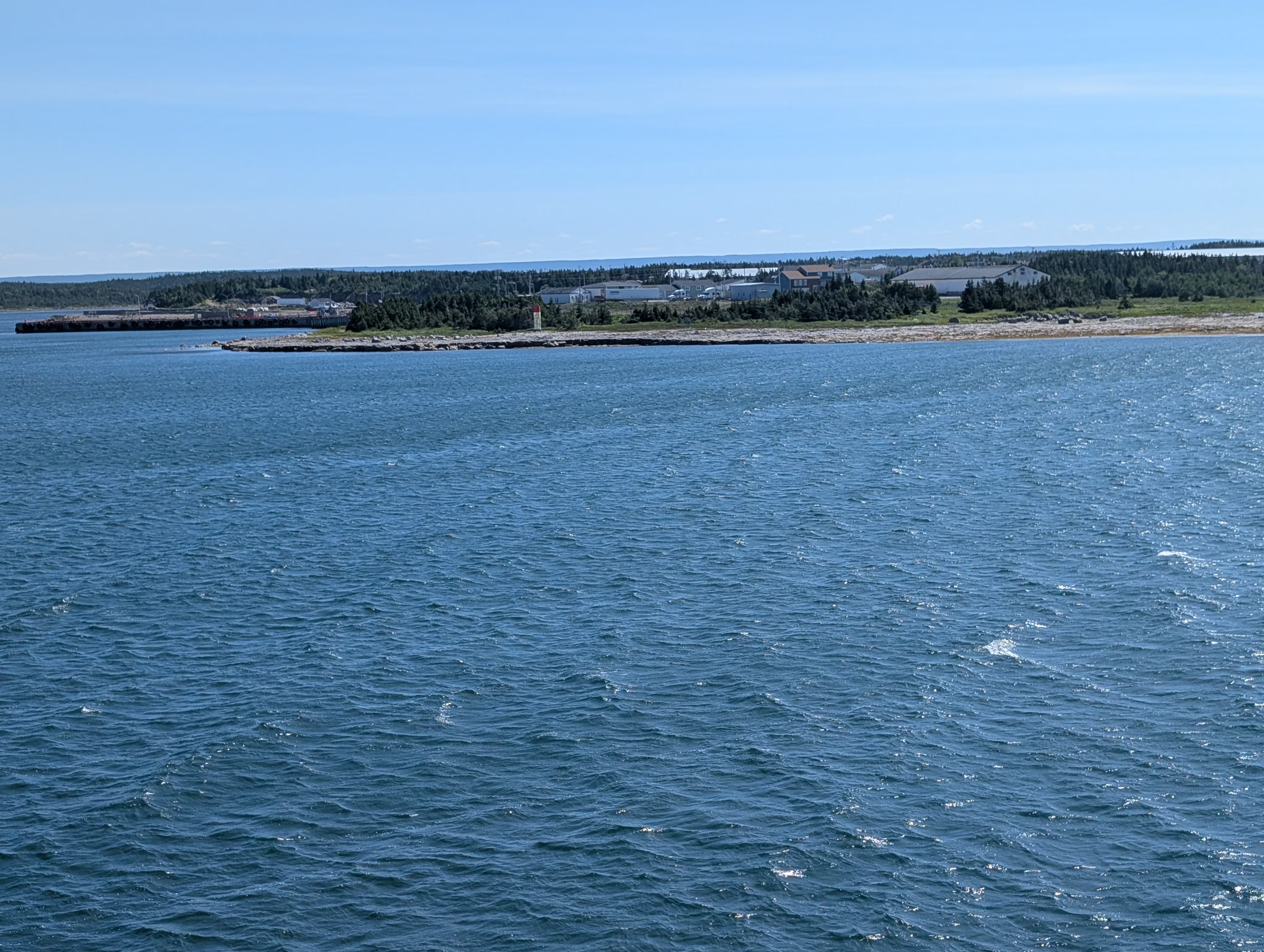
This is the only picture we have of Saint Barb, unremarkable or not.
Flowers Cove
The town of Flowers Cove is known for:
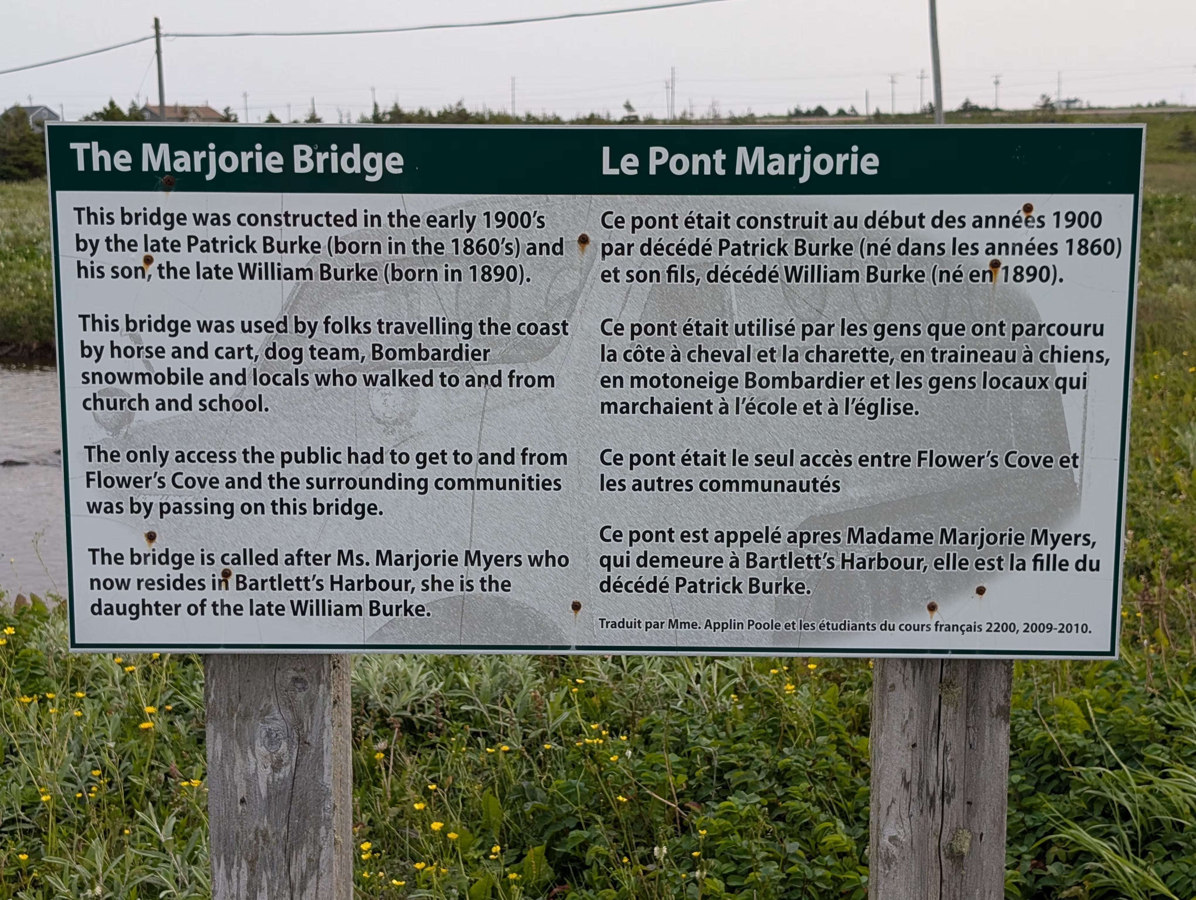
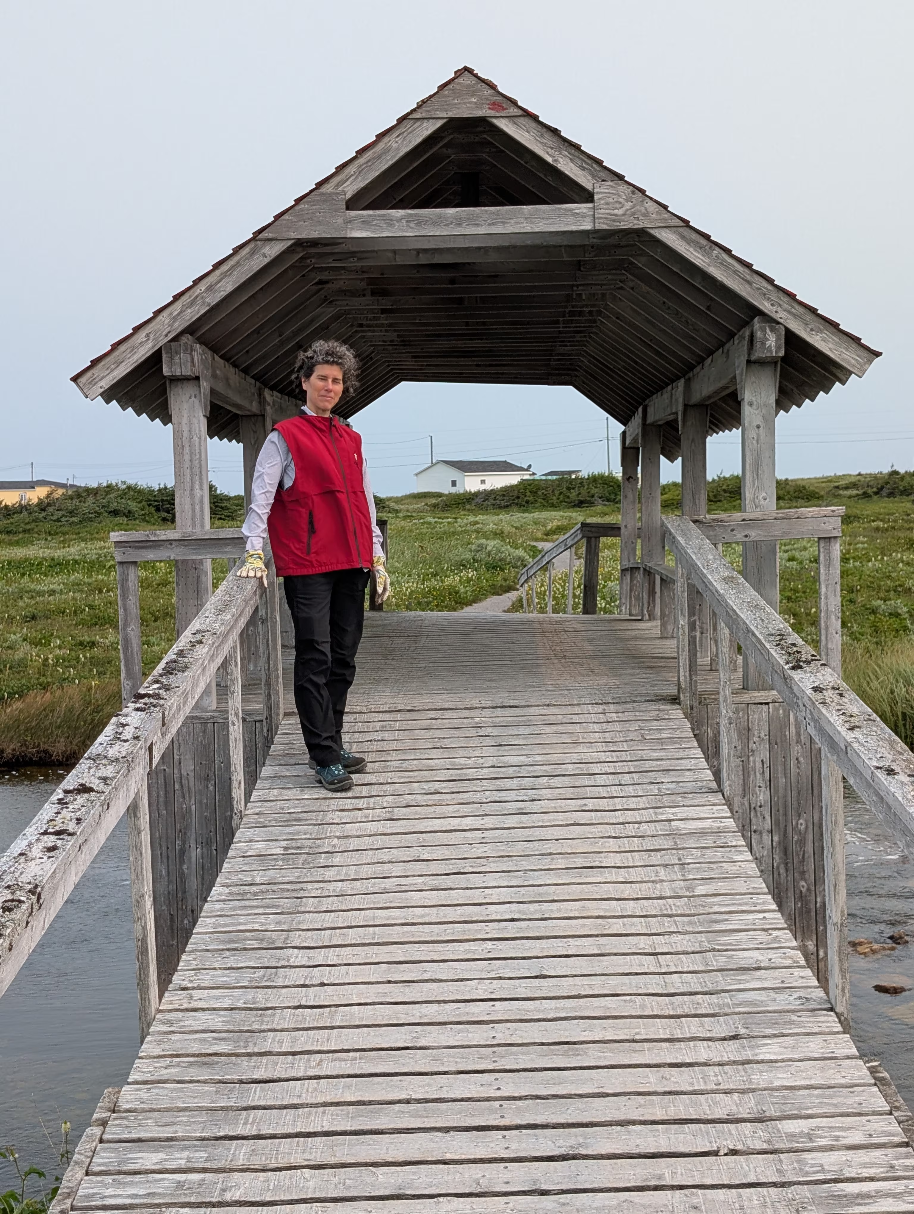
- Marjorie Bridge
- Thrombolites
- The White Rocks
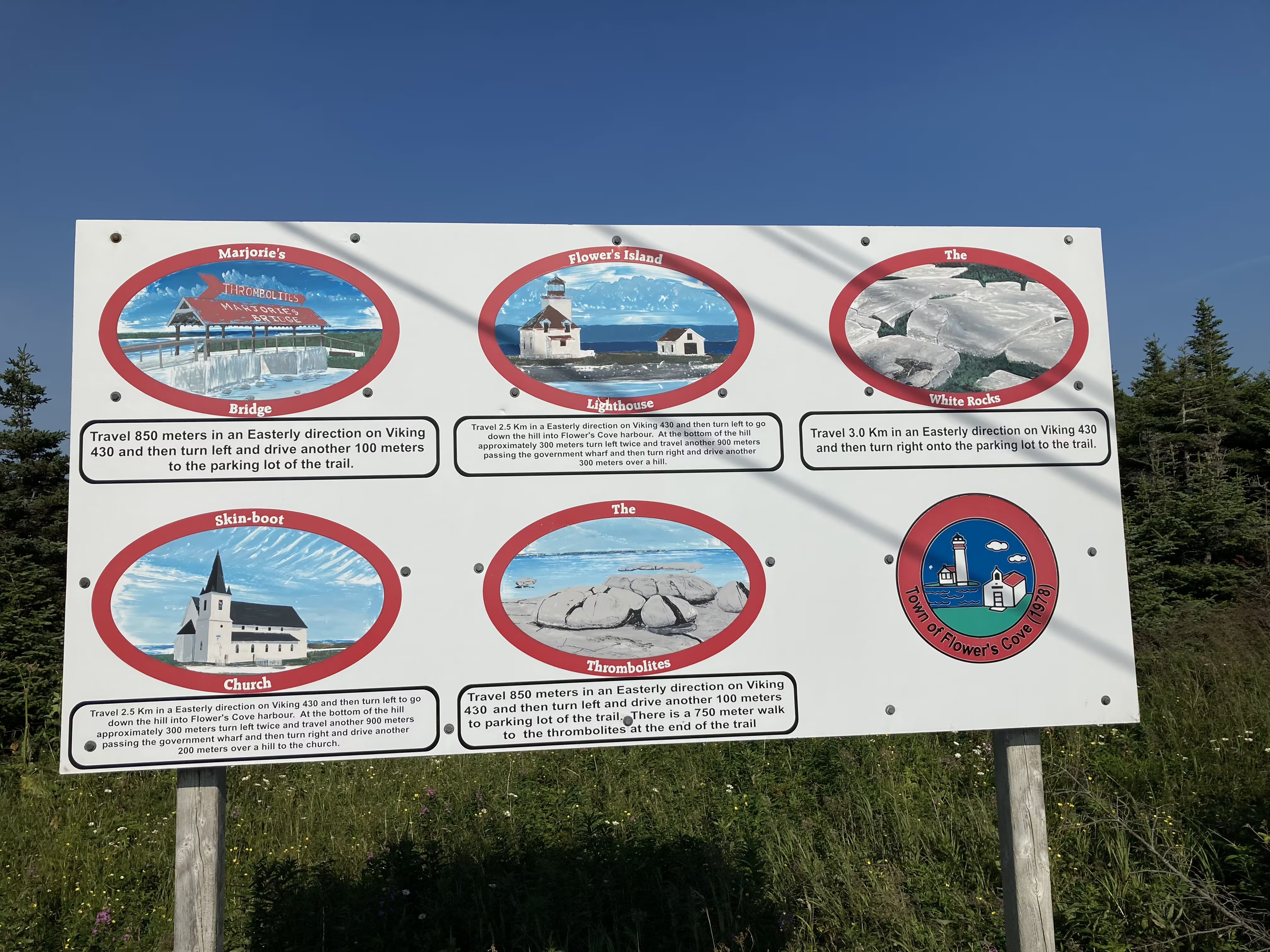
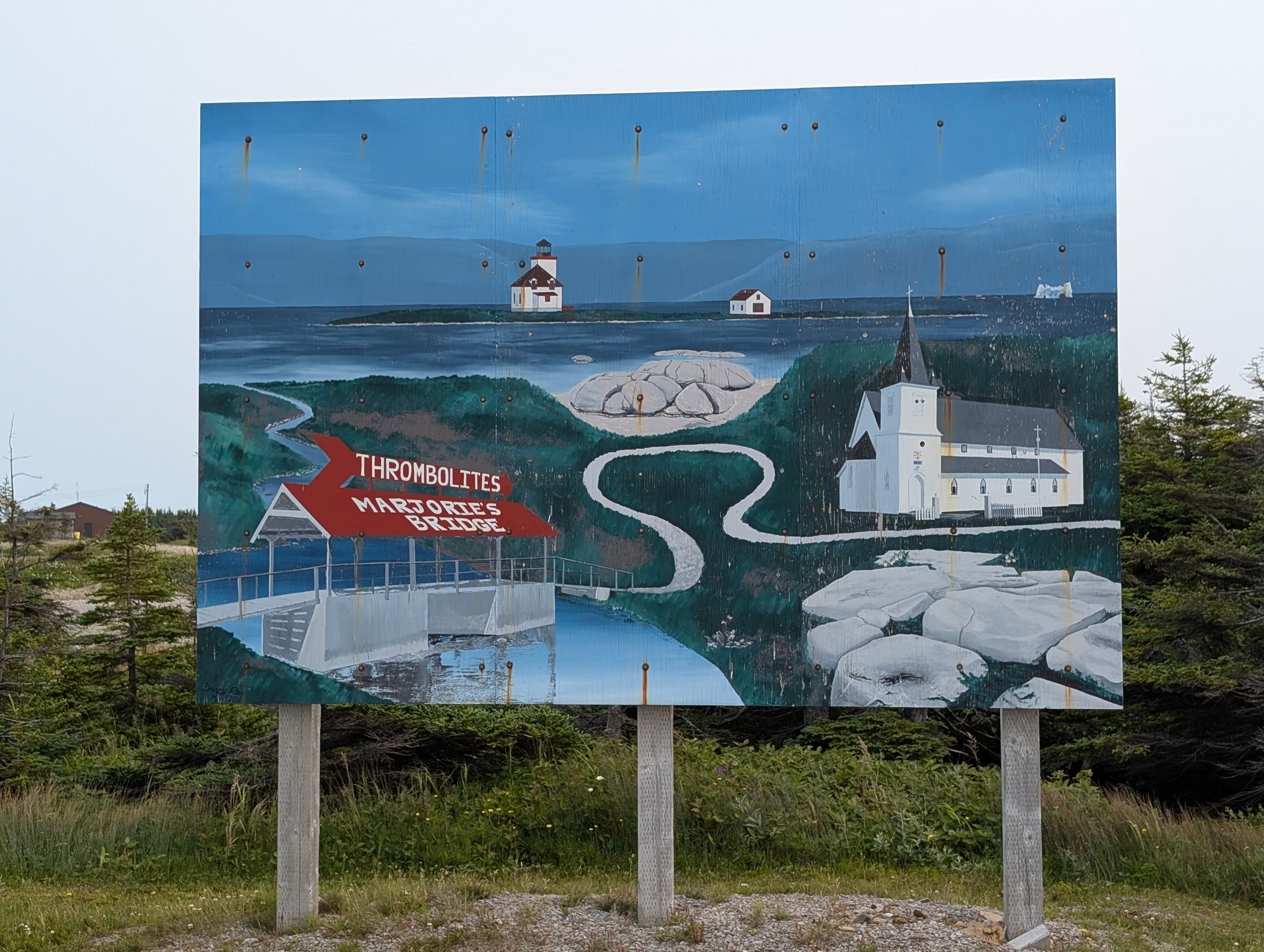
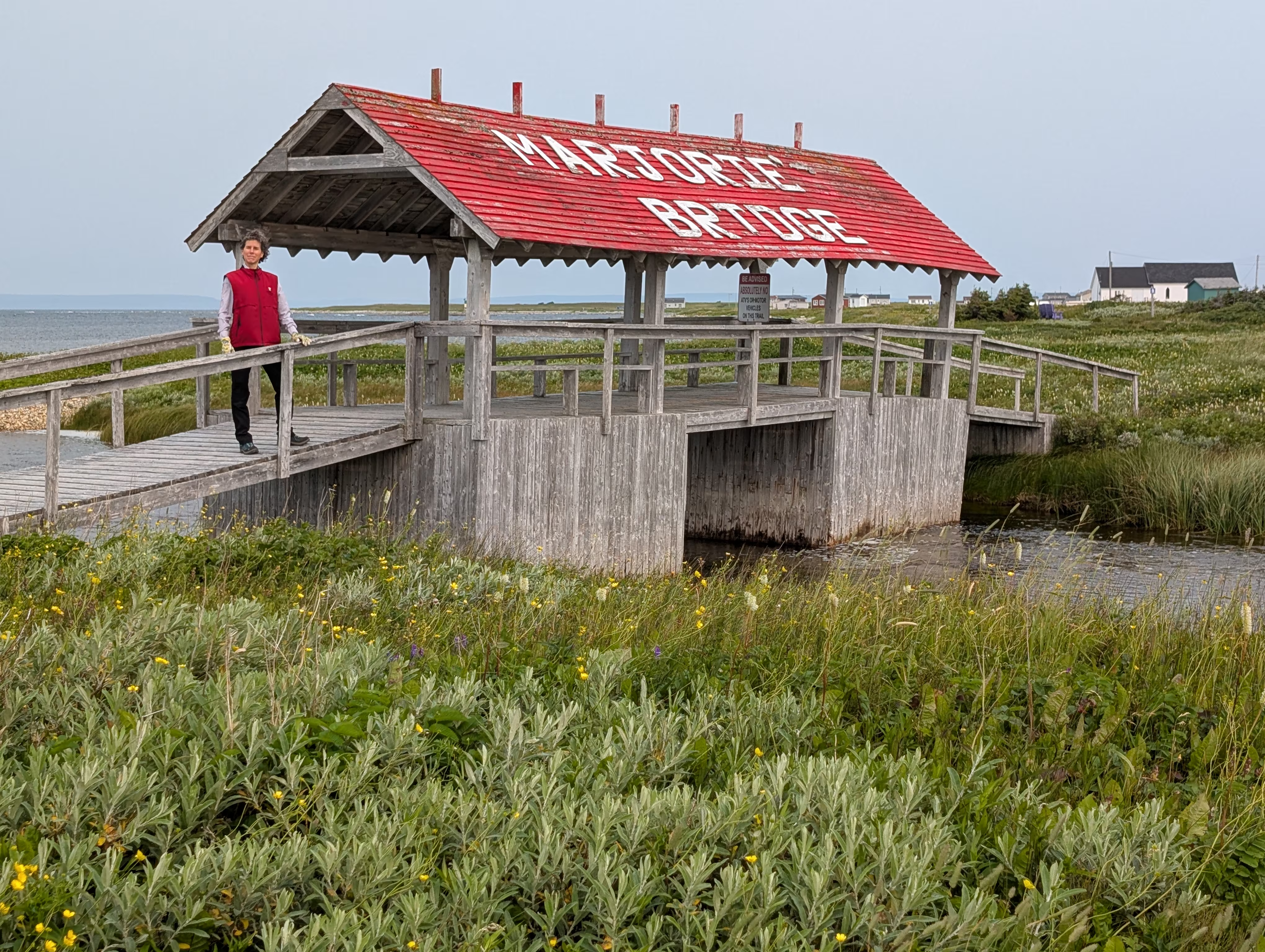
Marjorie Bridge and the Thrombolites
The Thrombolite Walking Trail starts near to the Marjorie’s Bridge that once was the only connection to neighbouring communities:
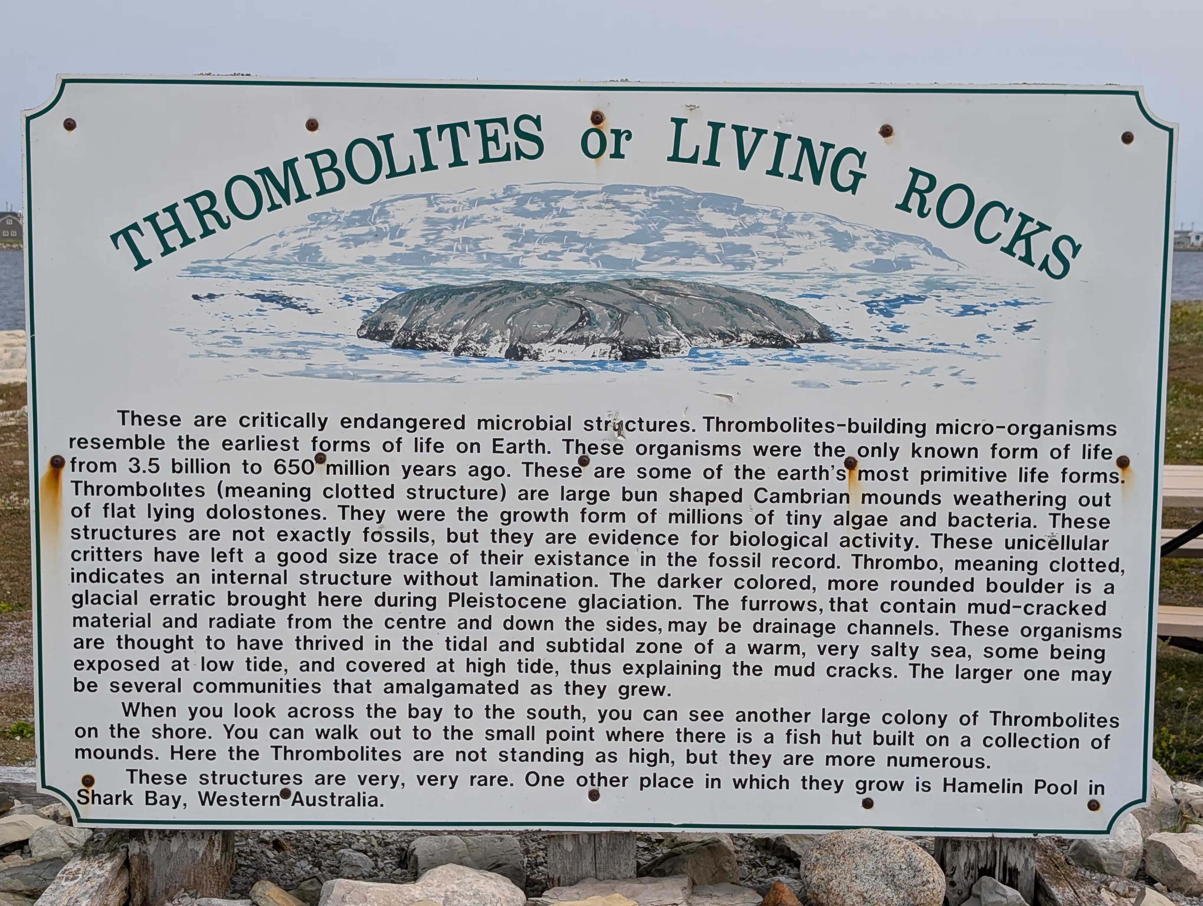
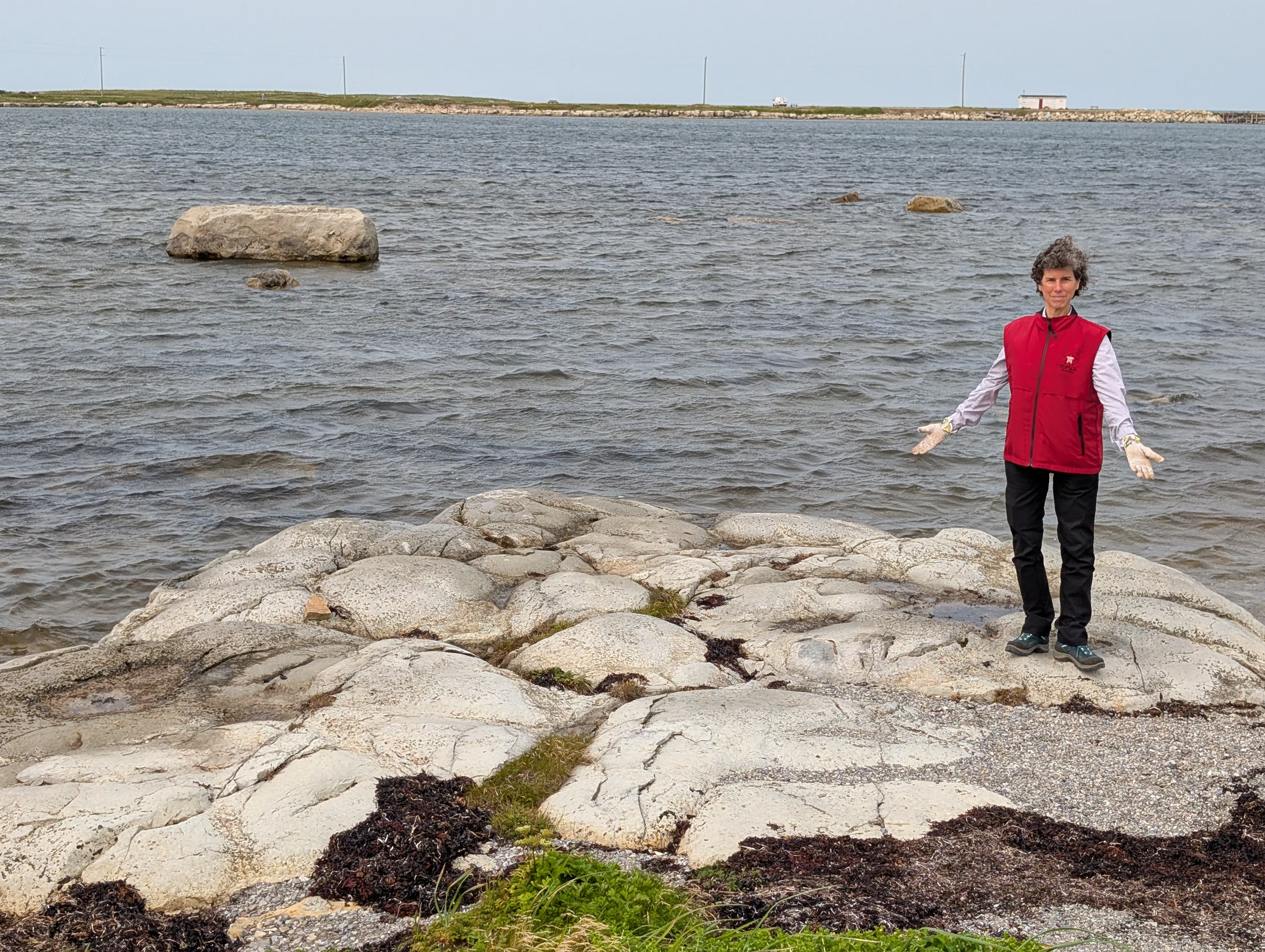
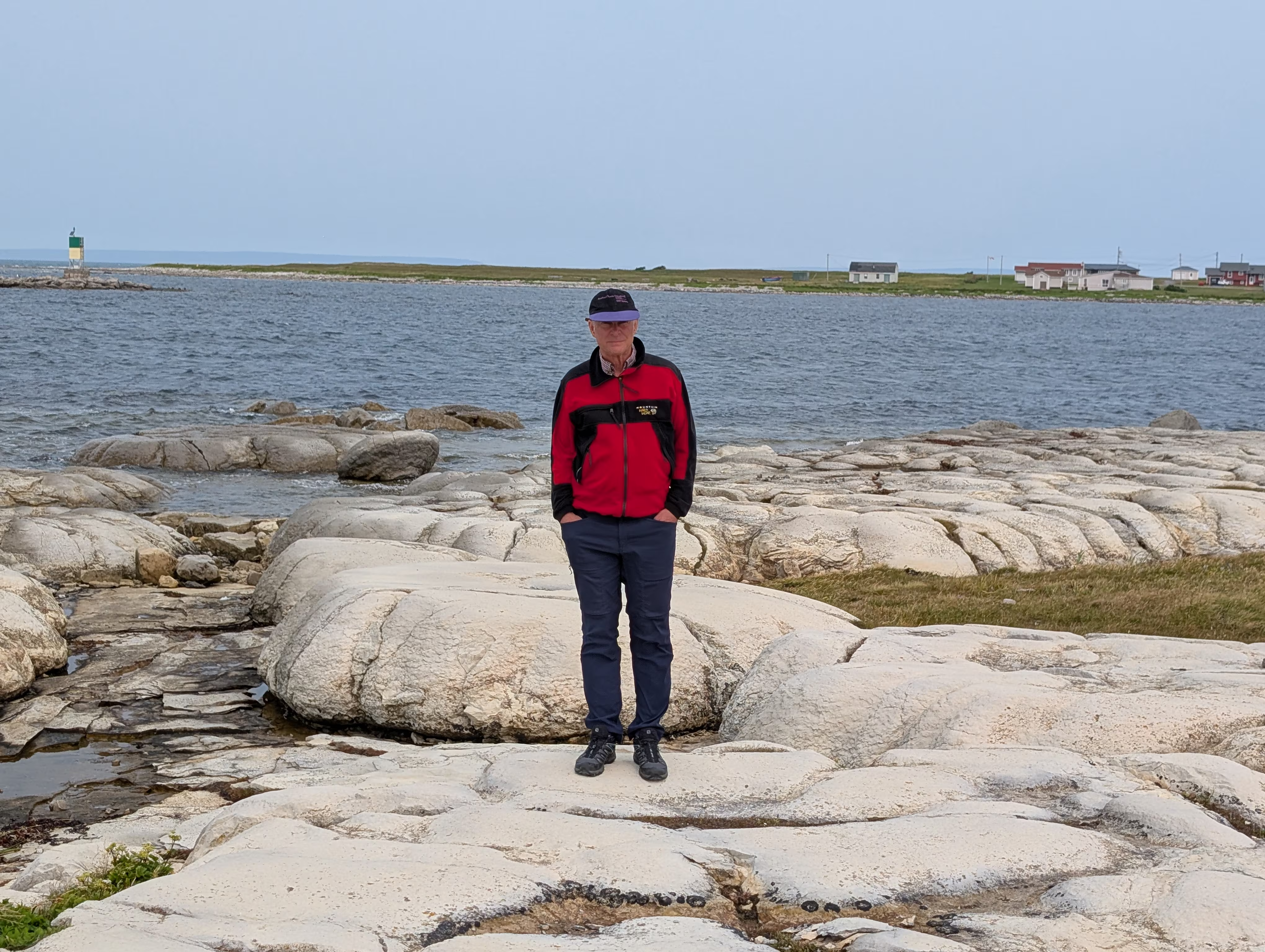
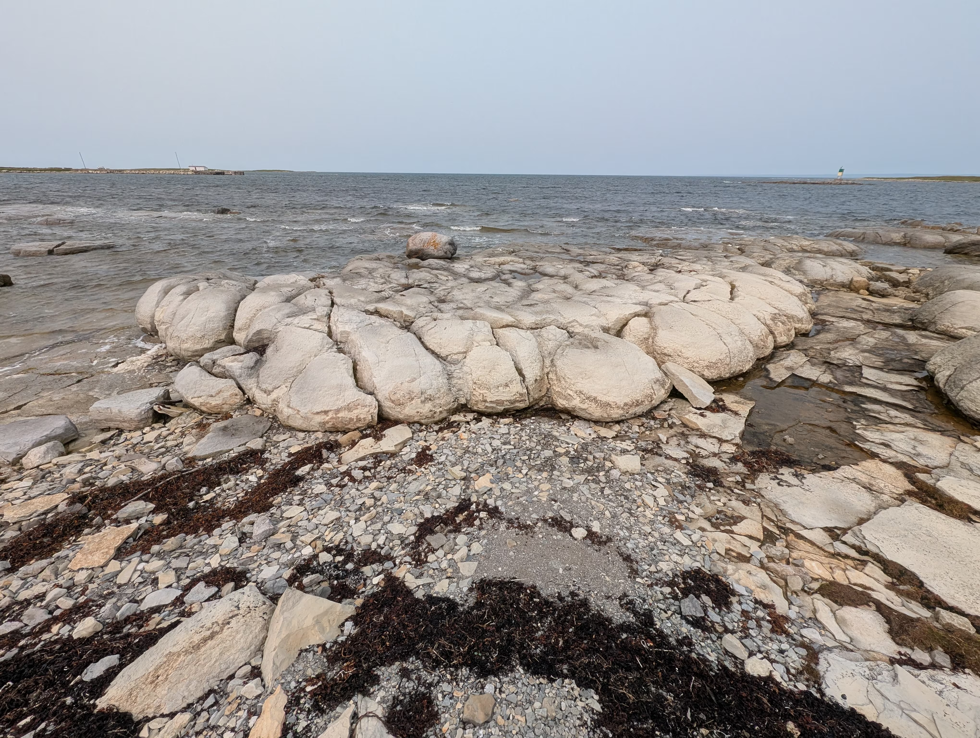
This is one of two places in Canada where the extremely rare Thrombolites can be found.
These are clotted accretionary structures formed in shallow water by the trapping, binding, and cementation of sedimentary grains by biofilms of microorganisms, especially cyanobacteria.
These are not small structures:
The White Rocks — Limestone Barrens
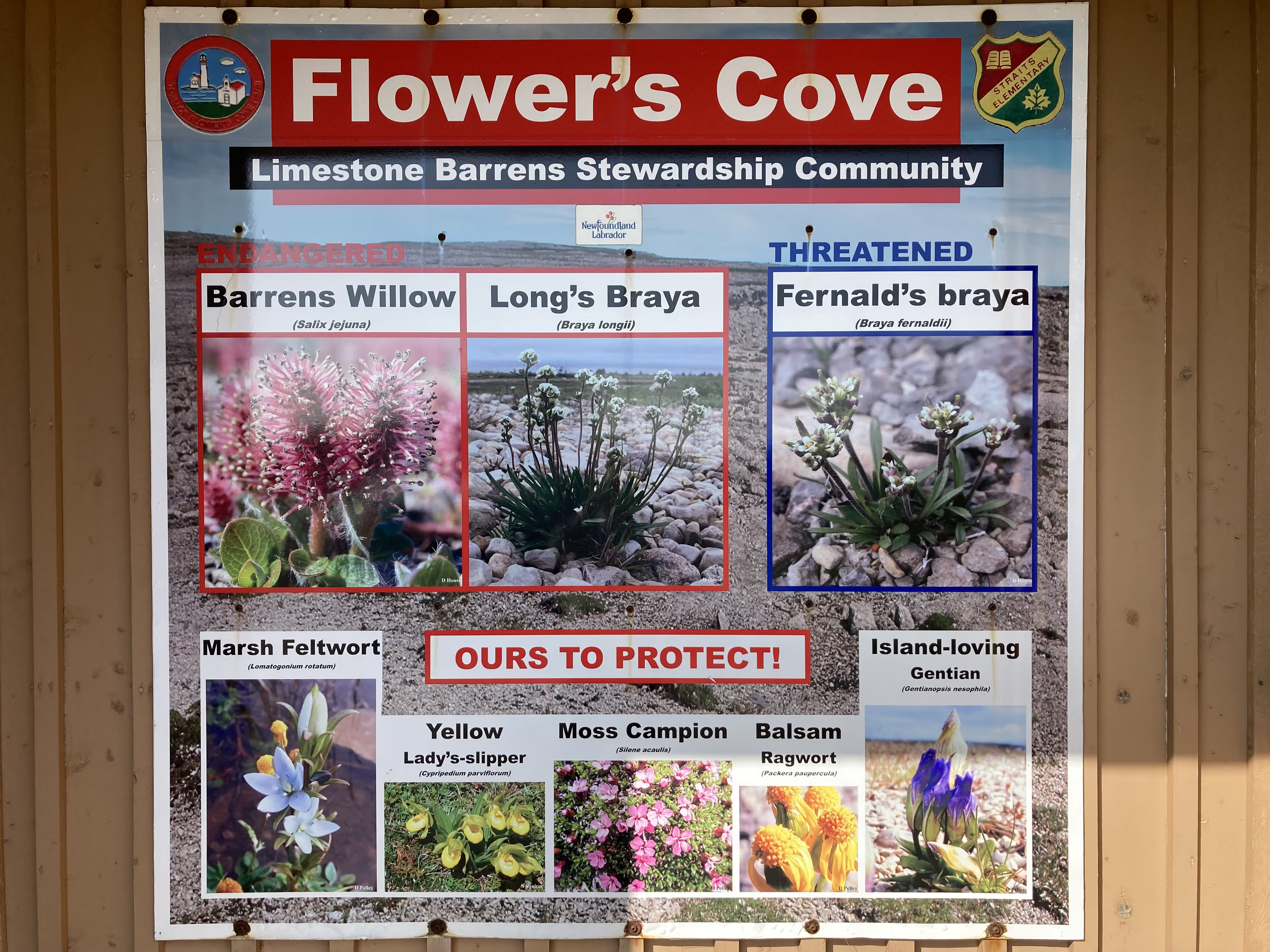
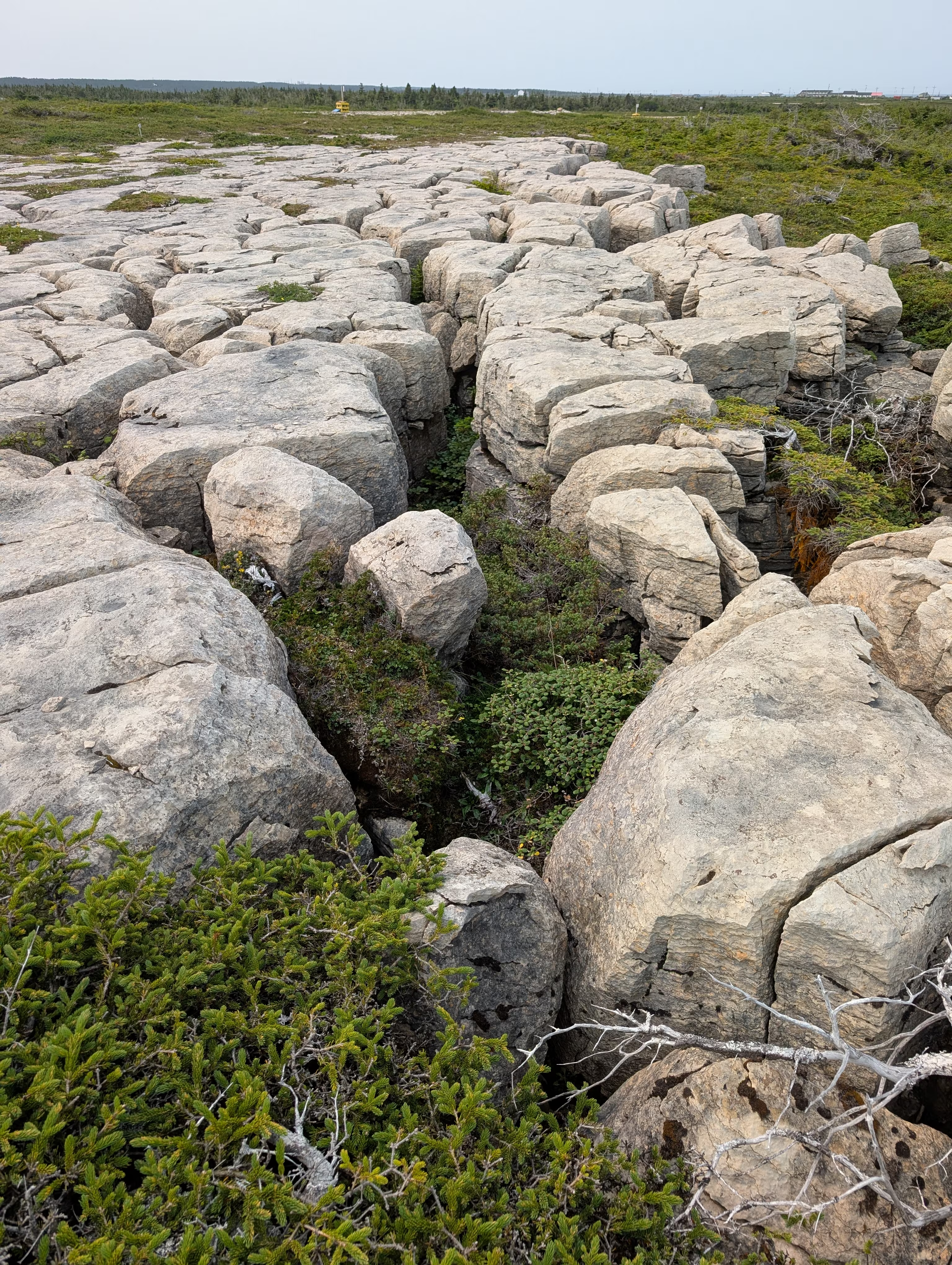
The White Rocks is a prime example of Limestone Barrens which are limestone flats that have been fragmented by freezing leaving cracks in which very specialized and rare (threatened and endagered) species of plants thrive (exist?):
The trail has a number of excellent signs that describe the area and its uniqueness:
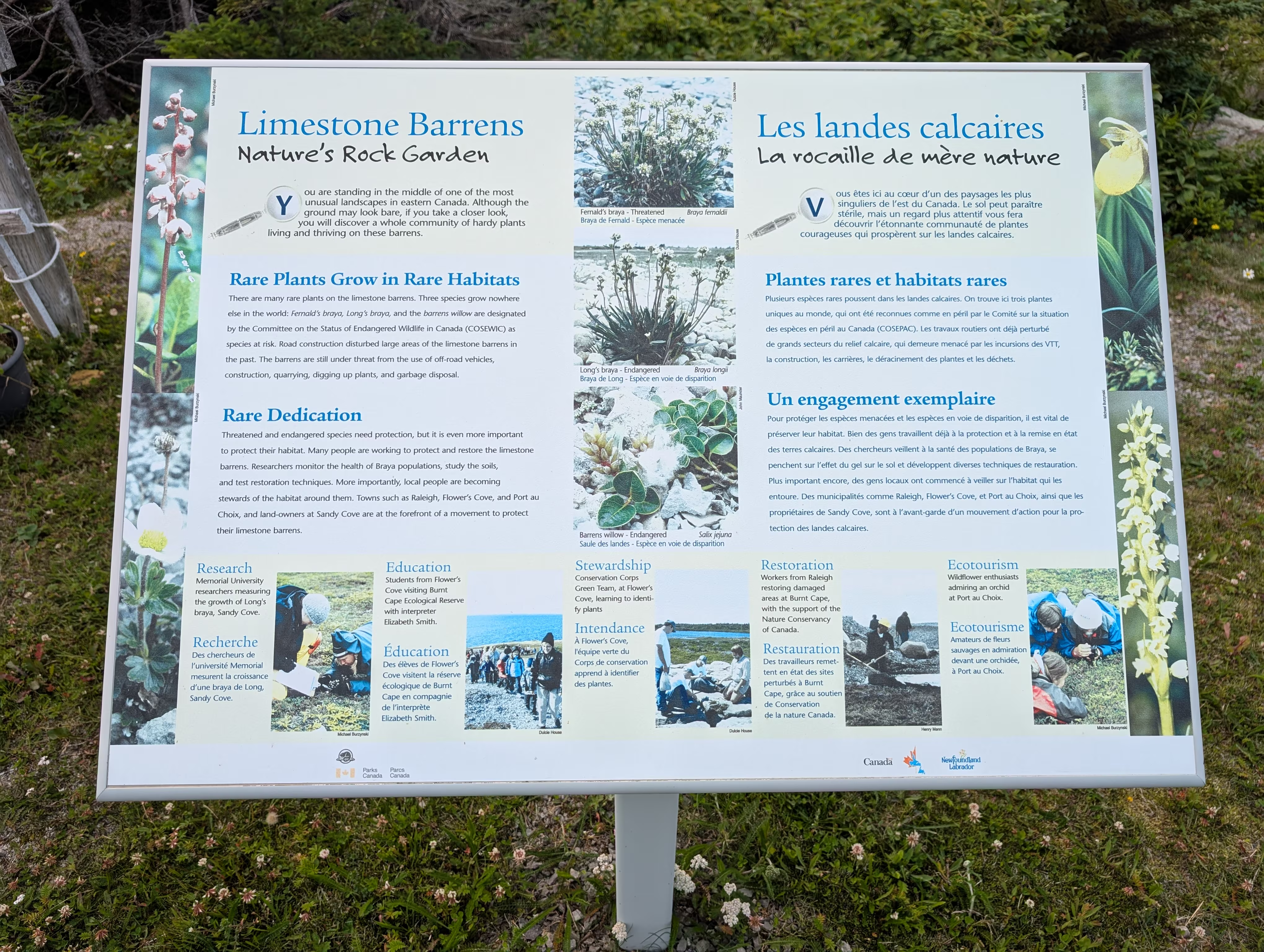
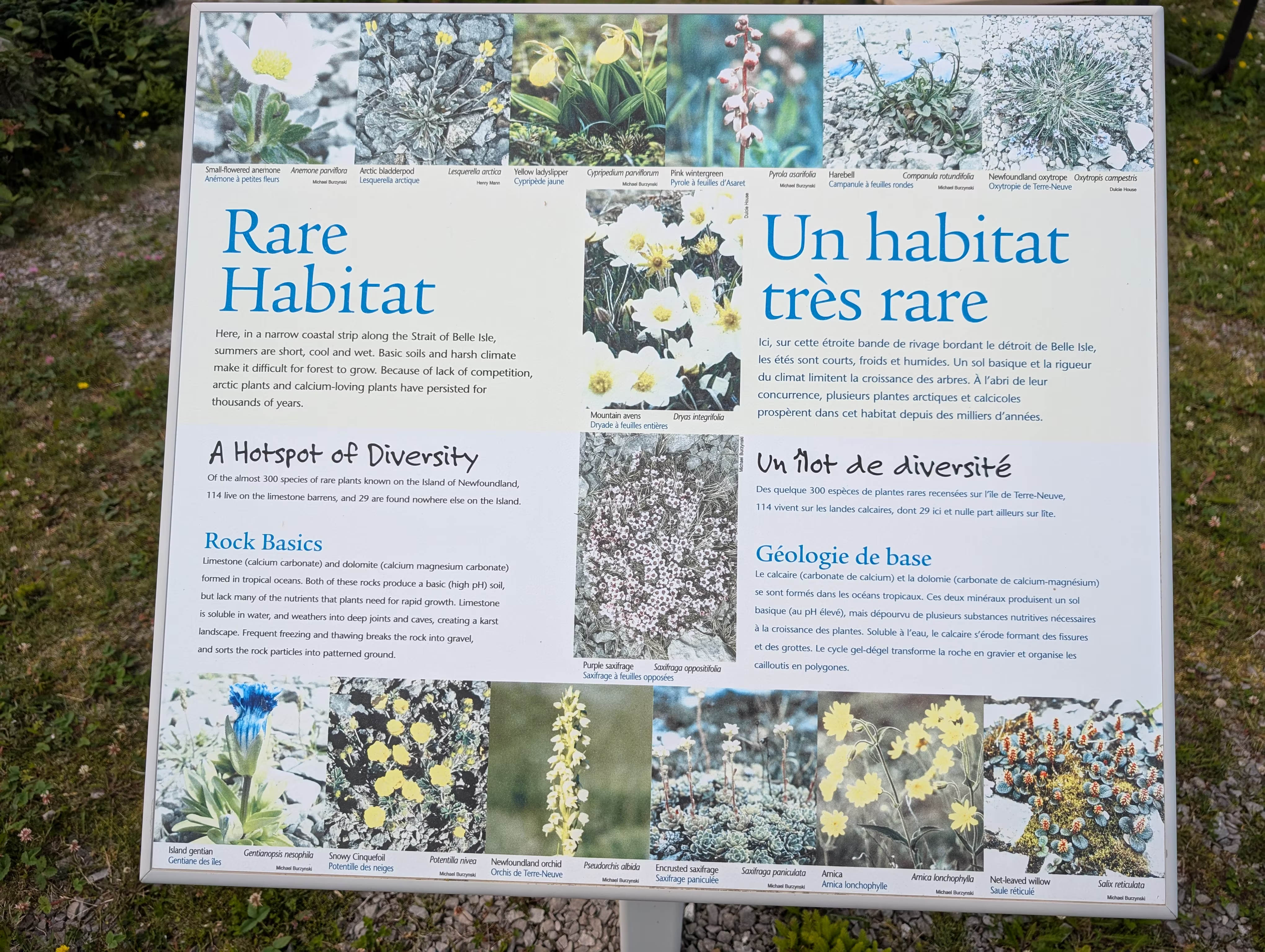
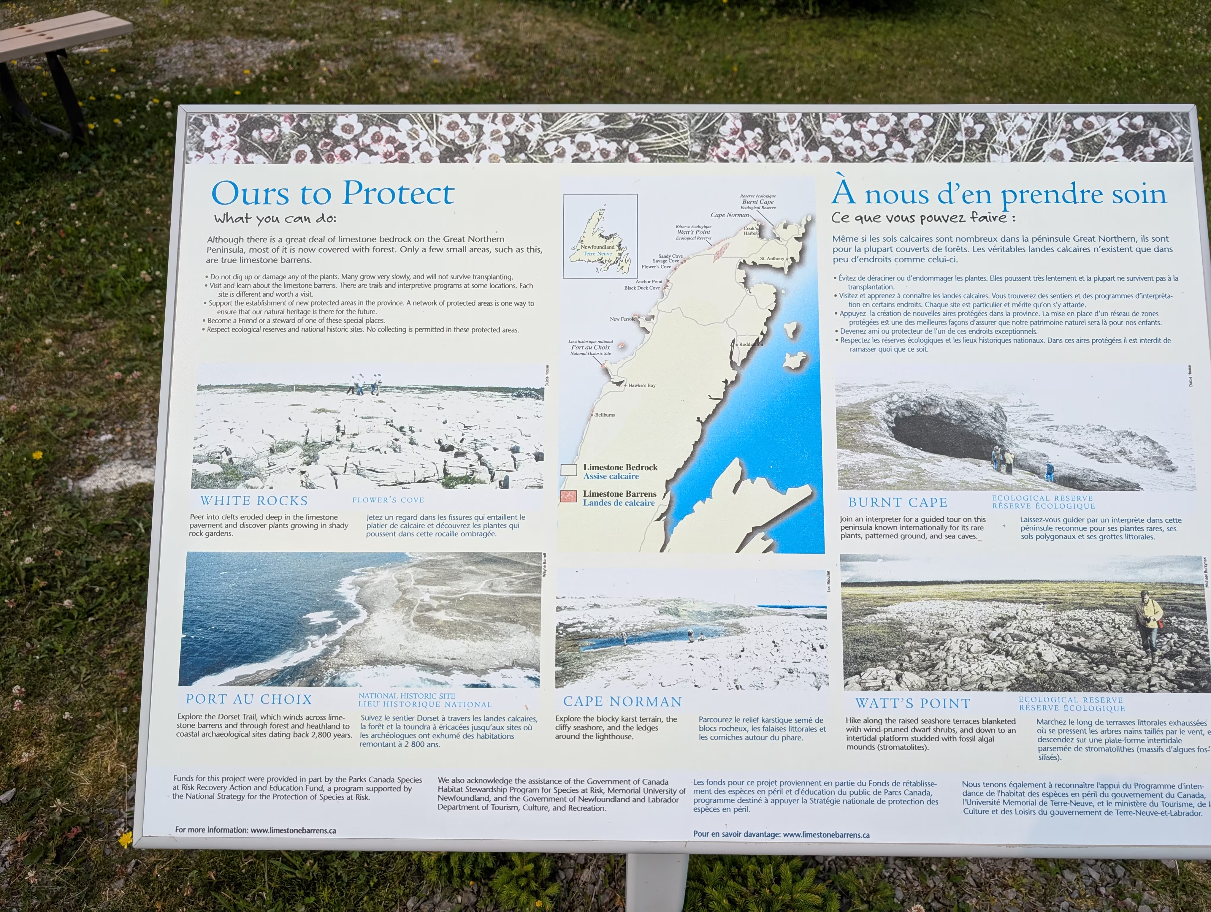
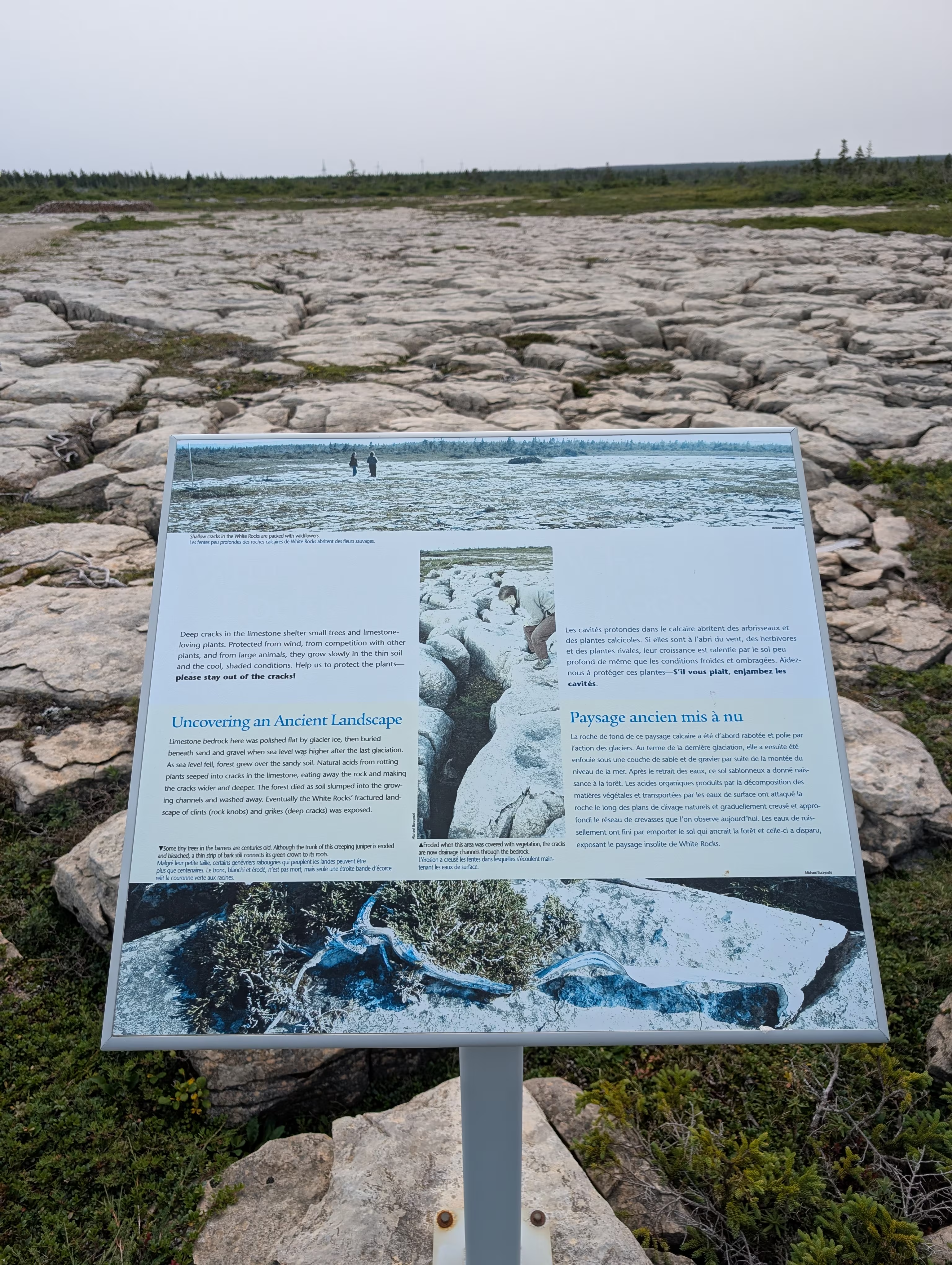
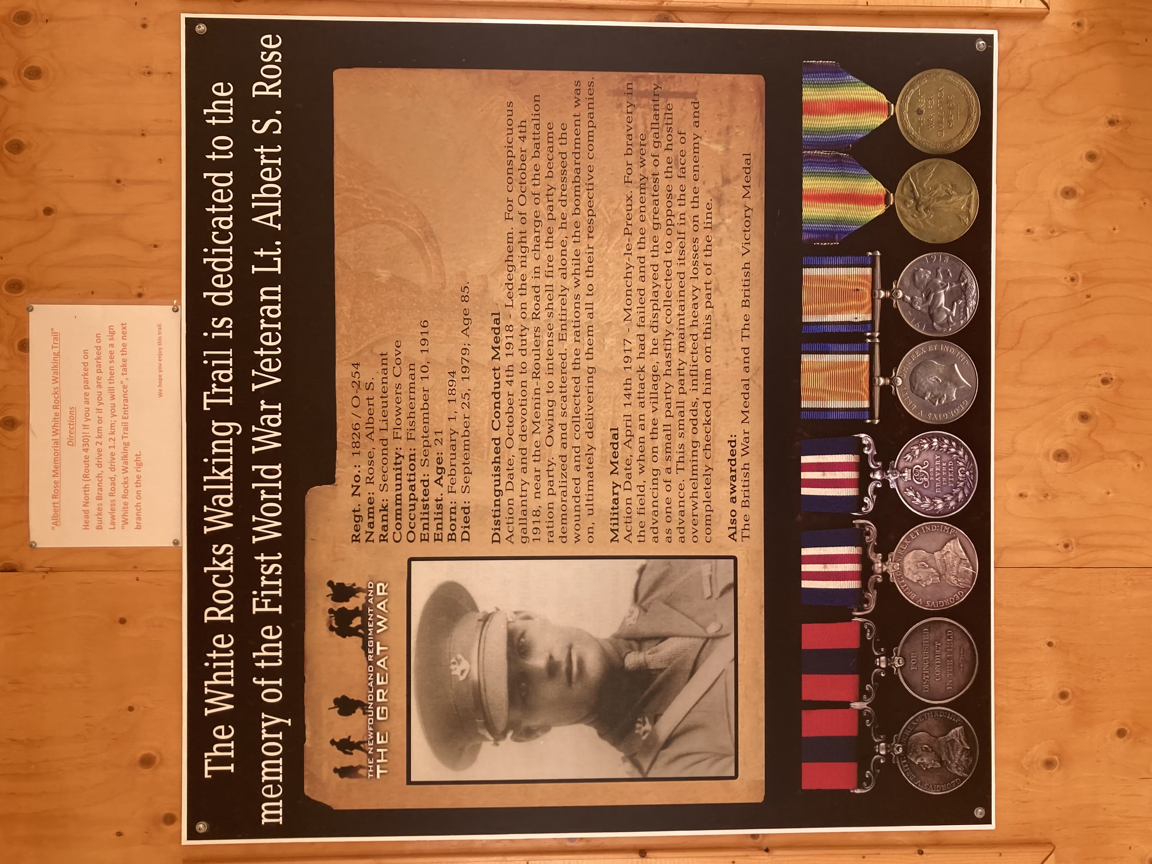
The trail is dedicated to World War 2 veteran Lt Albert S. Rose:
who was a runner and was known for delivering messages to his fellow soldiers by carrying them under his tongue. Had he ever been captured, he was ordered to swallow the message!
Anchor Point
Wednesday evening we overnighted in Anchor point overlooking Deadman’s Cove:
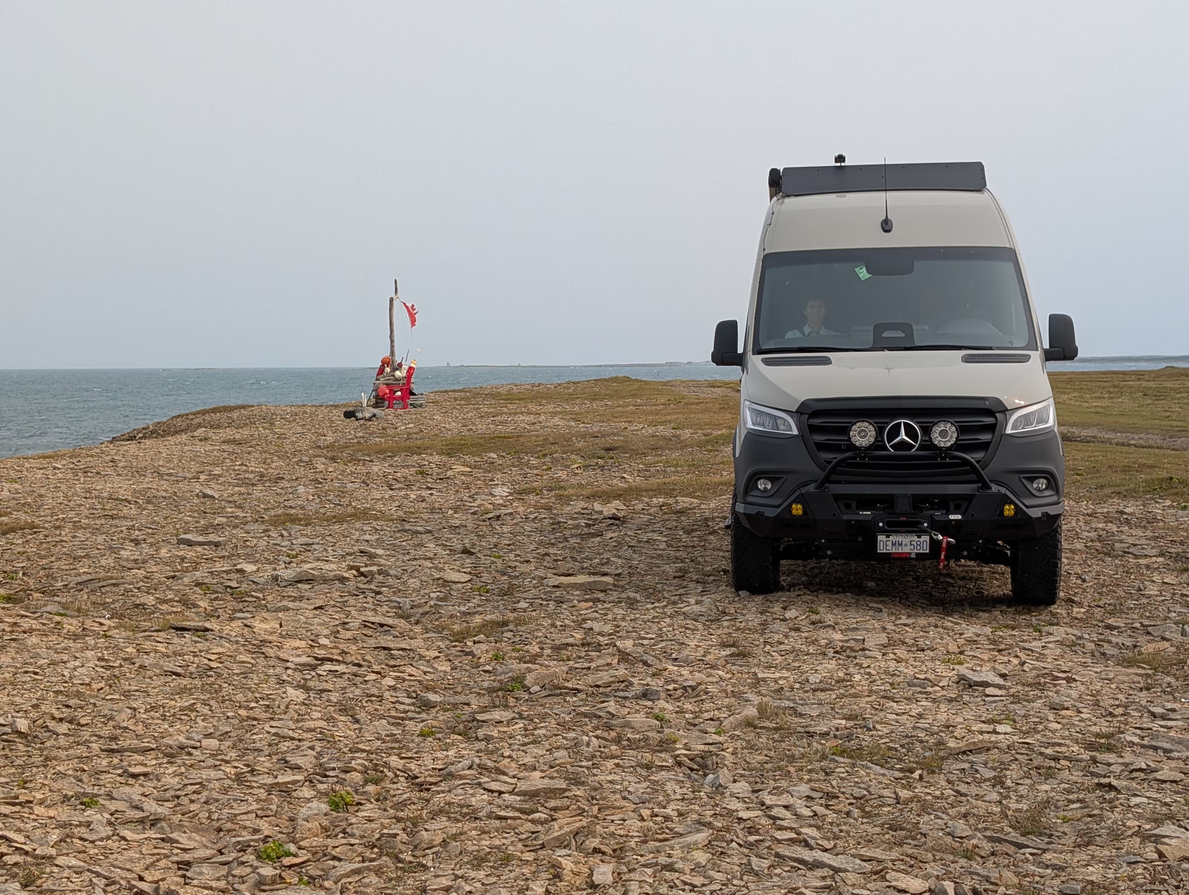
This site was a bit hard to find because there is only a faint path leading to it, and none of our mapping sofware got us to the head of the path, but we found it. It also was interesting because the winds were blowing a consistent 50-60 km/h which constantly rocked over van and rocked us to sleep.
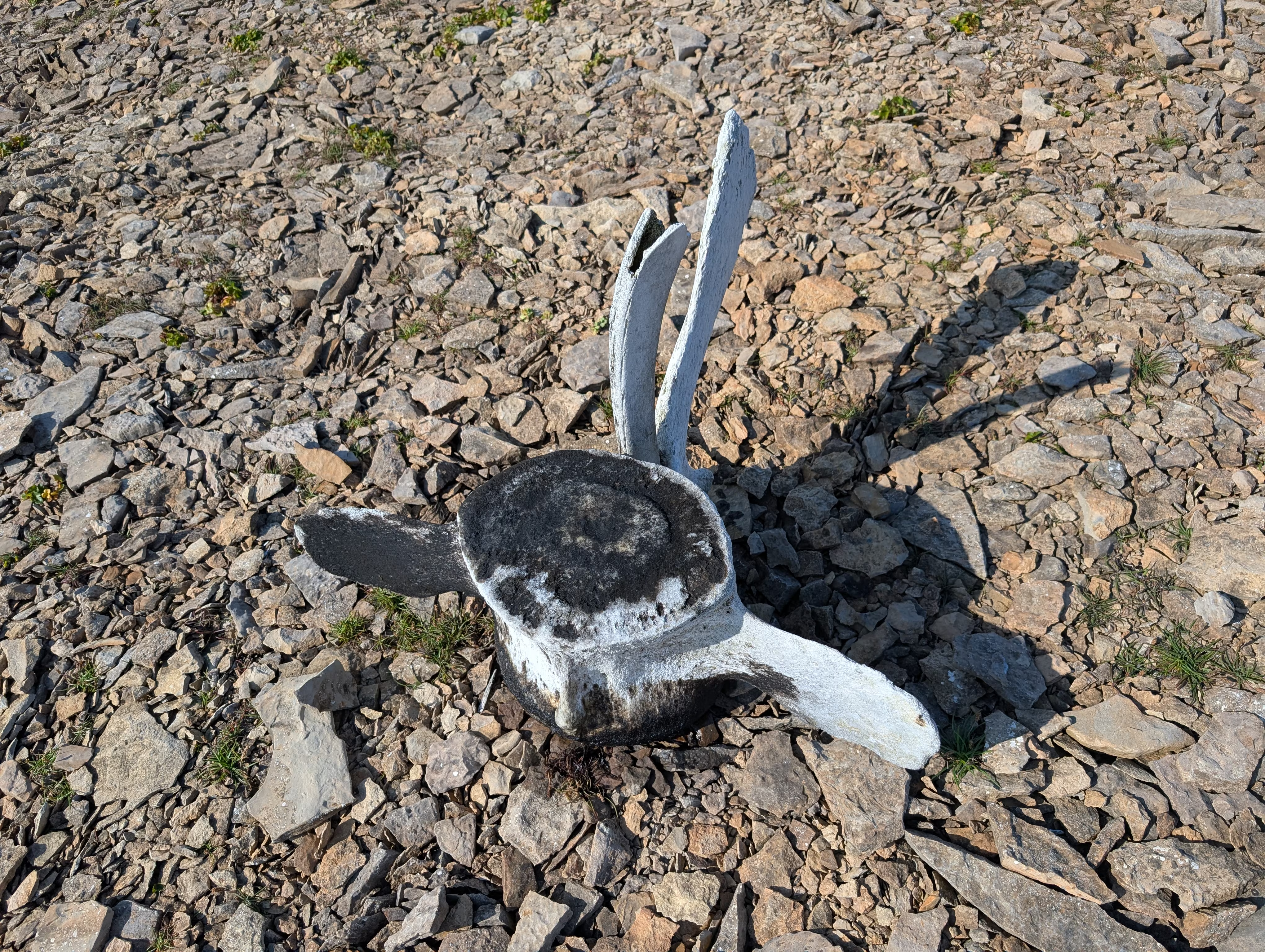
It was also found a much bigger whale bone than the ones we saw at Red Bay:
These are our tracks for Wednesday, Aug 06
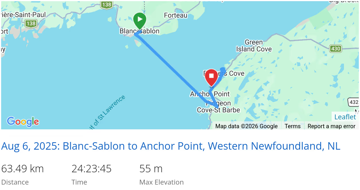 *click on the map for more details
Cape Norman
On Thursday we headed to the Cape Norman Lighthouse, the most northerly lighthouse on the island of Newfoundland, which is just slightly south of the Cape Bauld Light Tower on Quirpon Island:
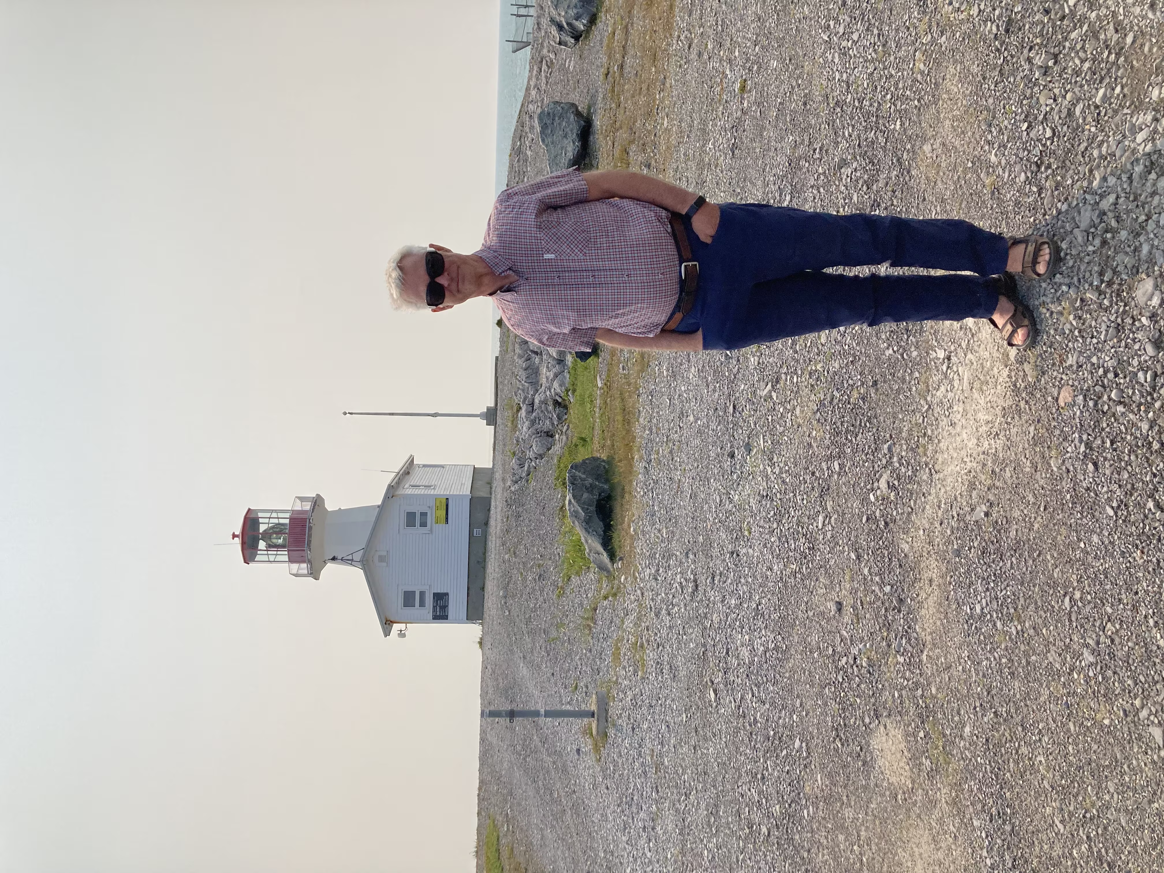
It was just as windy as it was in Deadman’s Cove where had spent the night:
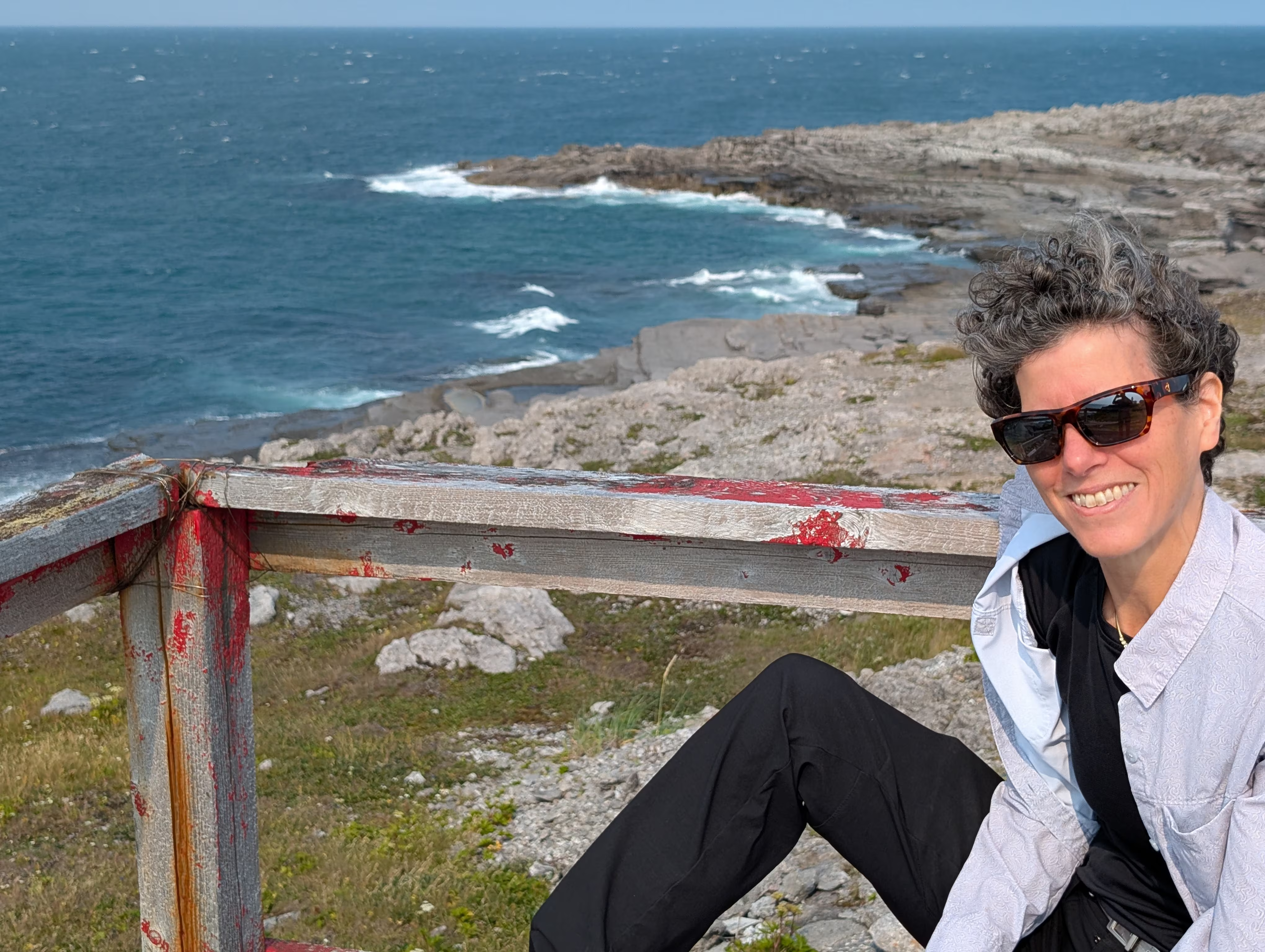
Burnt Cape
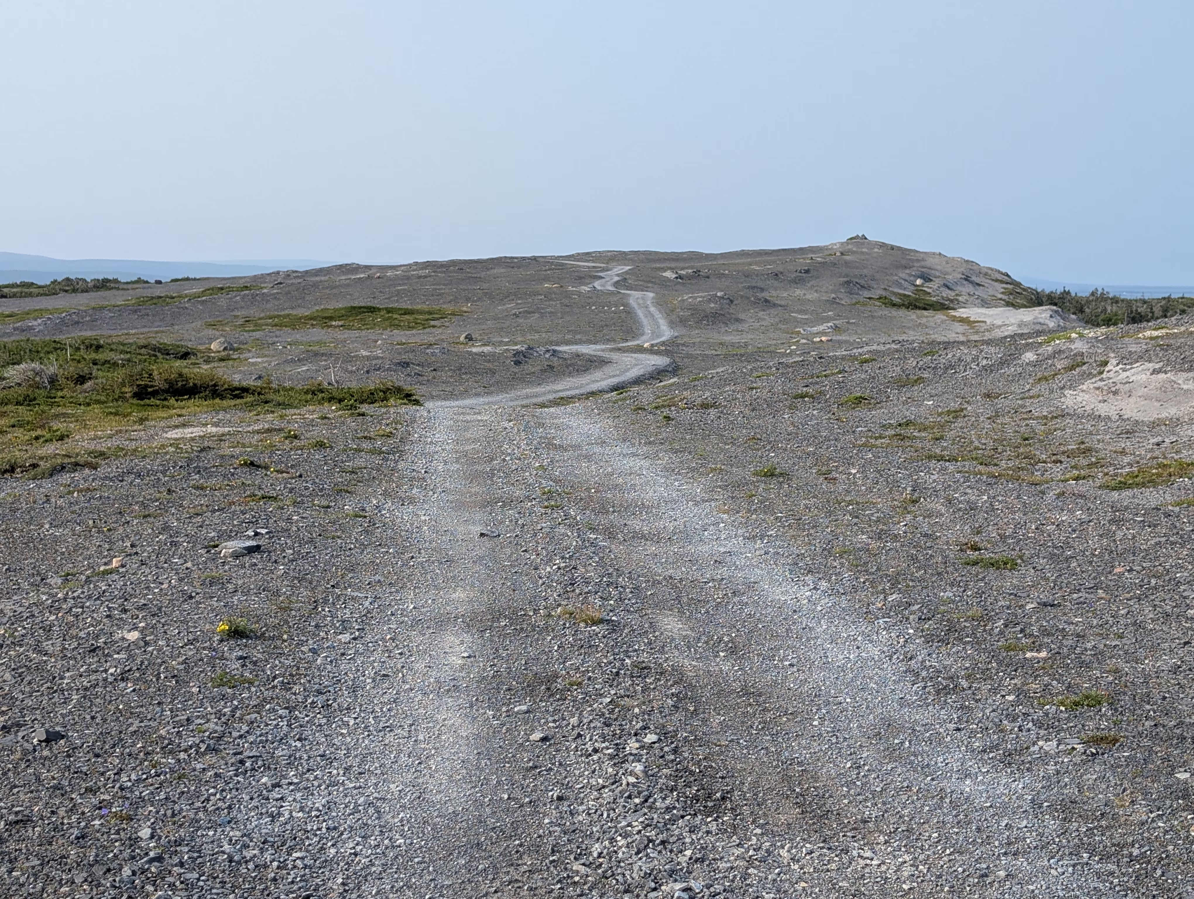
Thursday night was spent on another remote bluff on Burnt Cape:
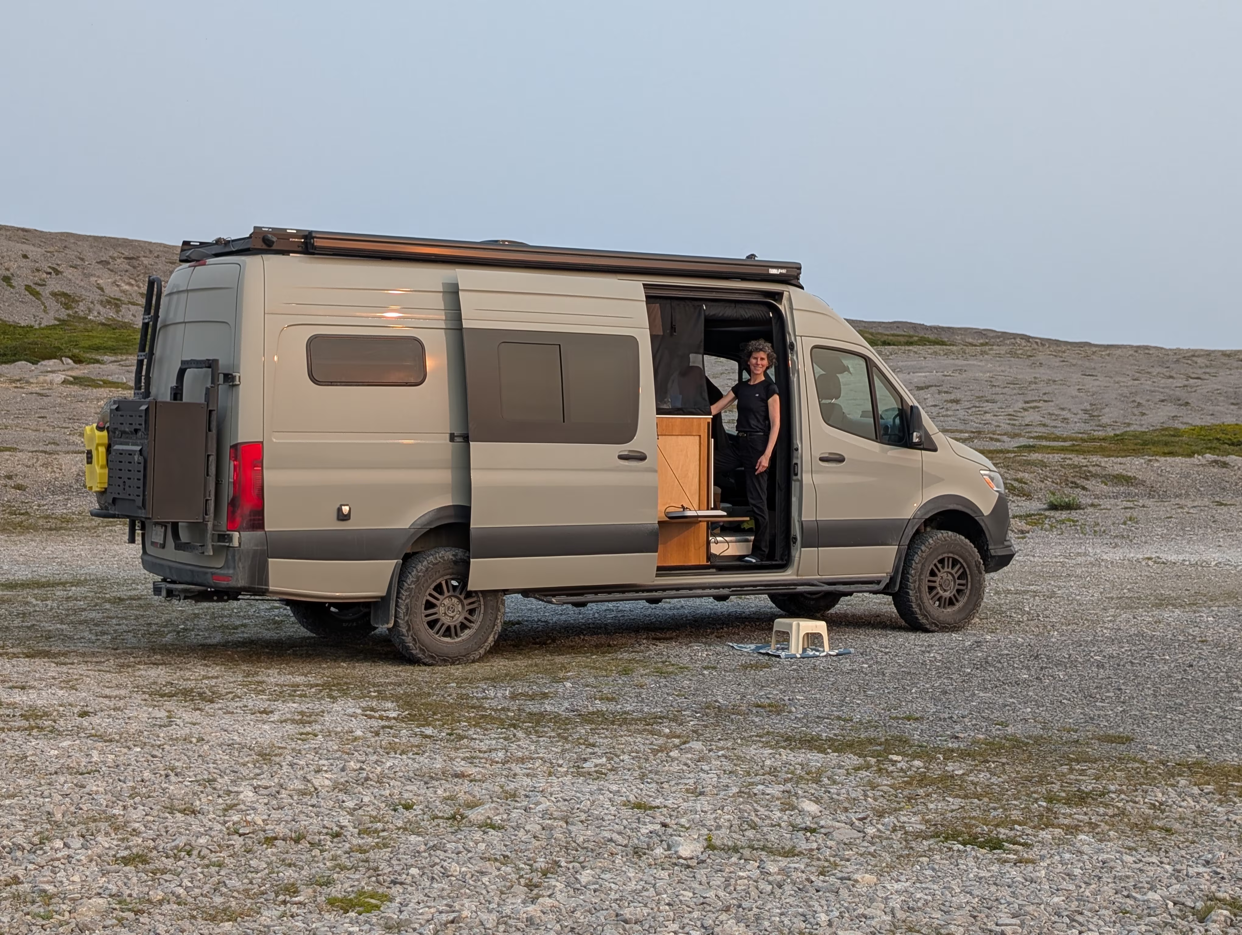
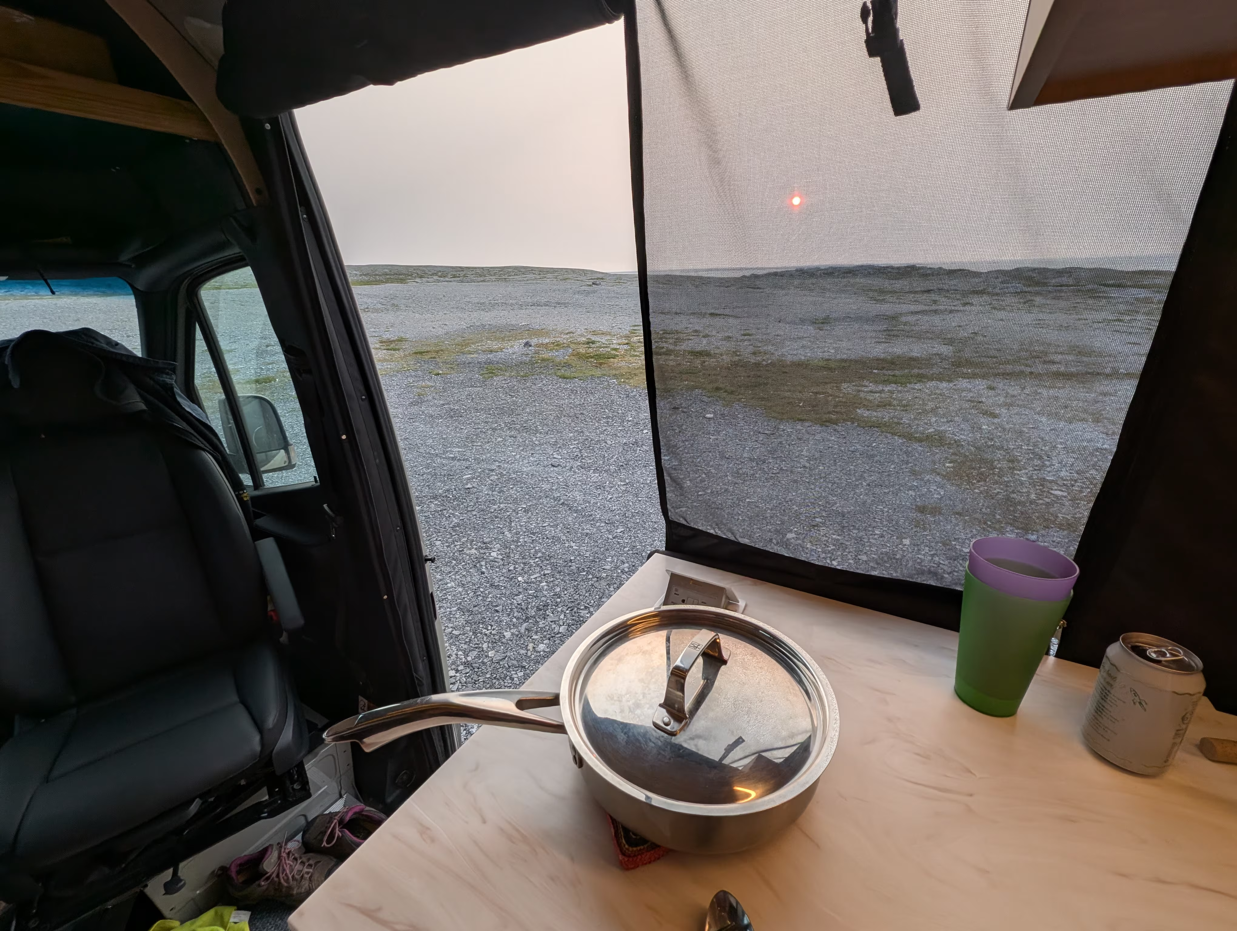
It was very barren:
These are our tracks for Thursday, Aug 07
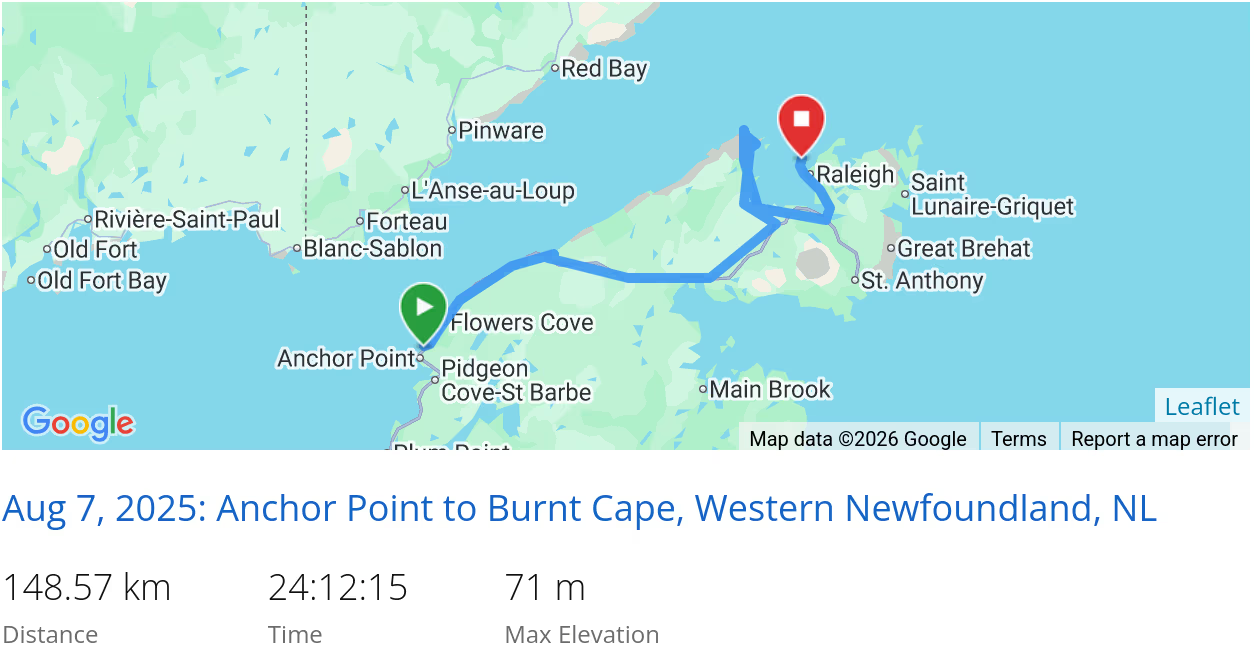 *click on the map for more details
That’s it for Western Newfoundland (North)
Next we are off to L’Anse aux Meadows.
In case you had missed it, we came from Labrador Straits.
When we are travelling, our current location is always available and updated every 10 minutes