Gros Morne National Park - 500 km - 5 days
August 12th through 16th were spent in Gros Morne National Park.
The Arches
On Tuesday, just before the Northern entrance to Gros Morne National Park, we stopped at the Arches Provincial Park which has these large rocks through which the ocean has carved arches:
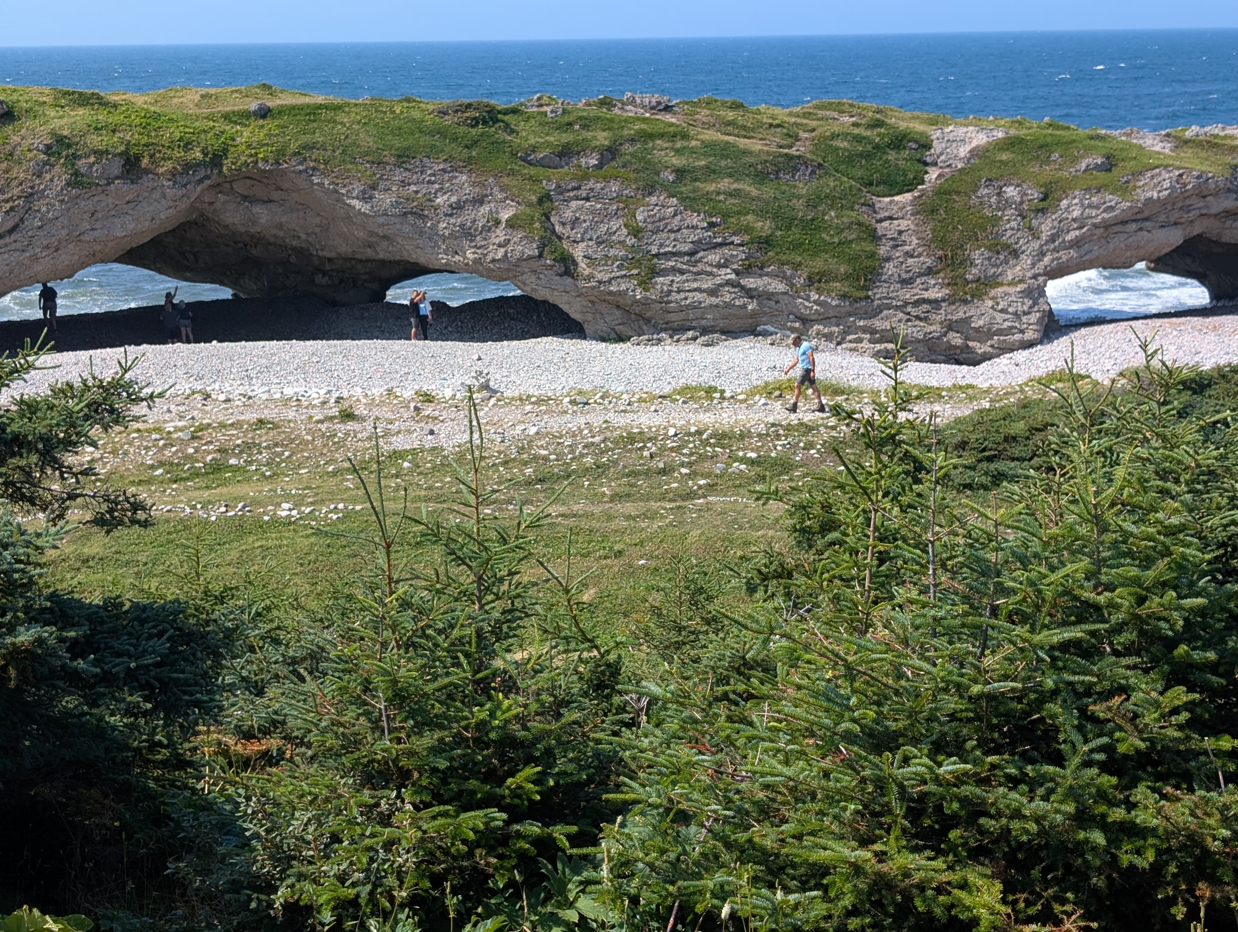
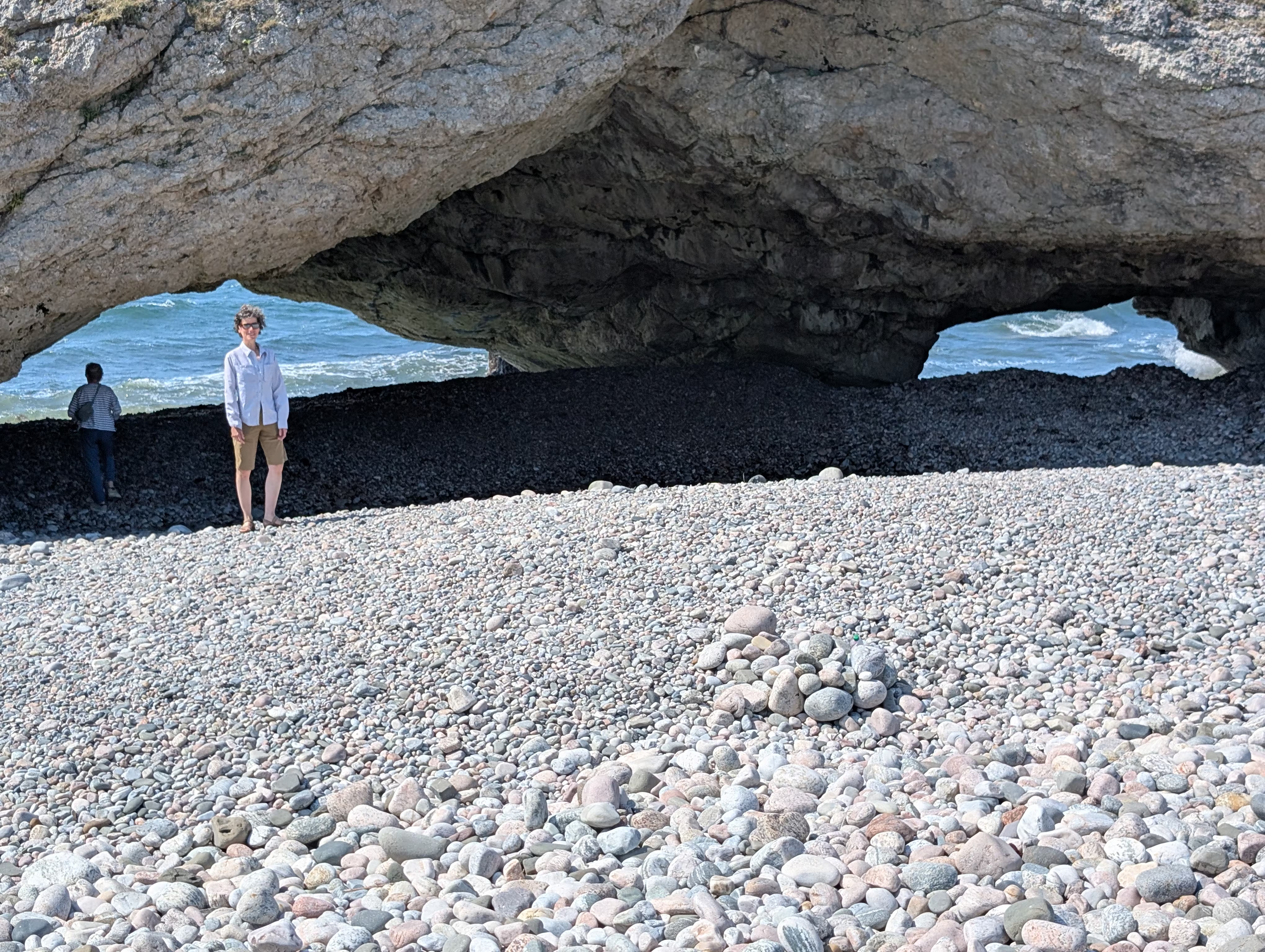
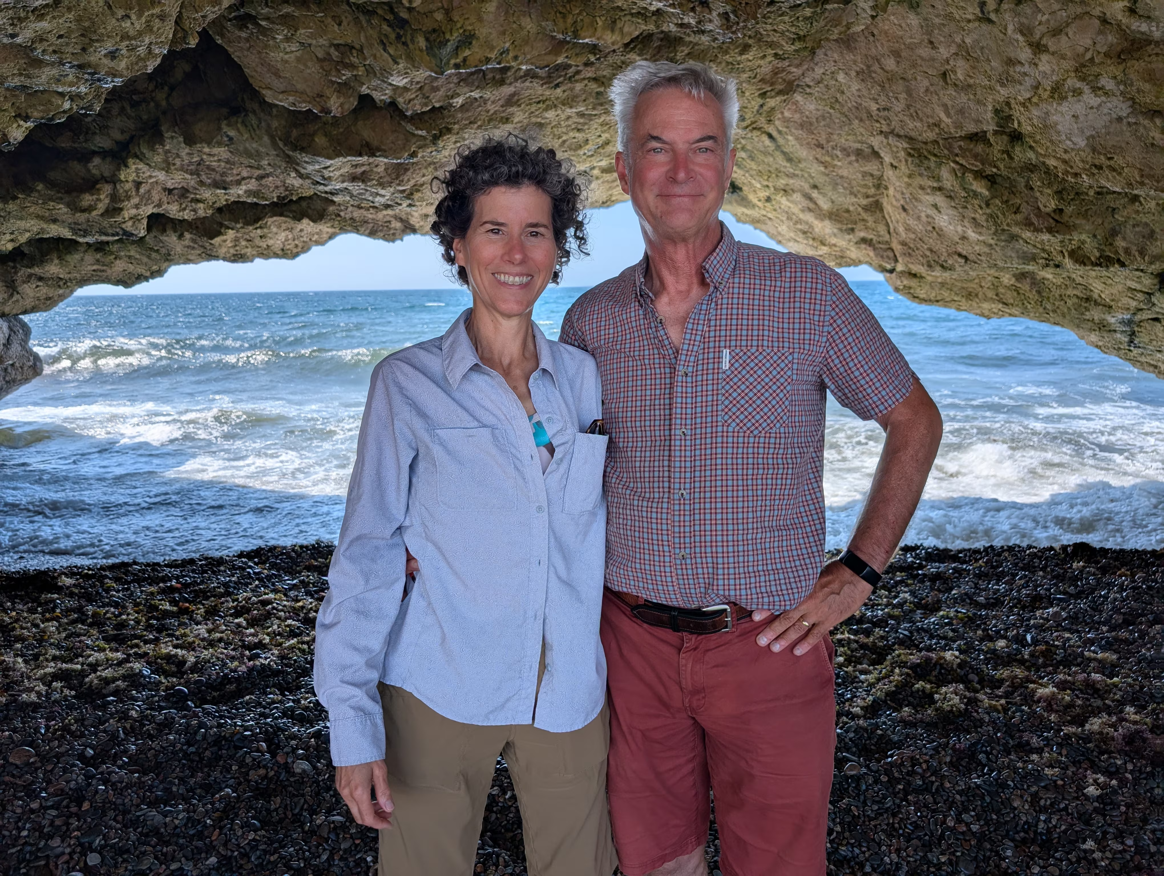
To get the full effect checkout this short movie.
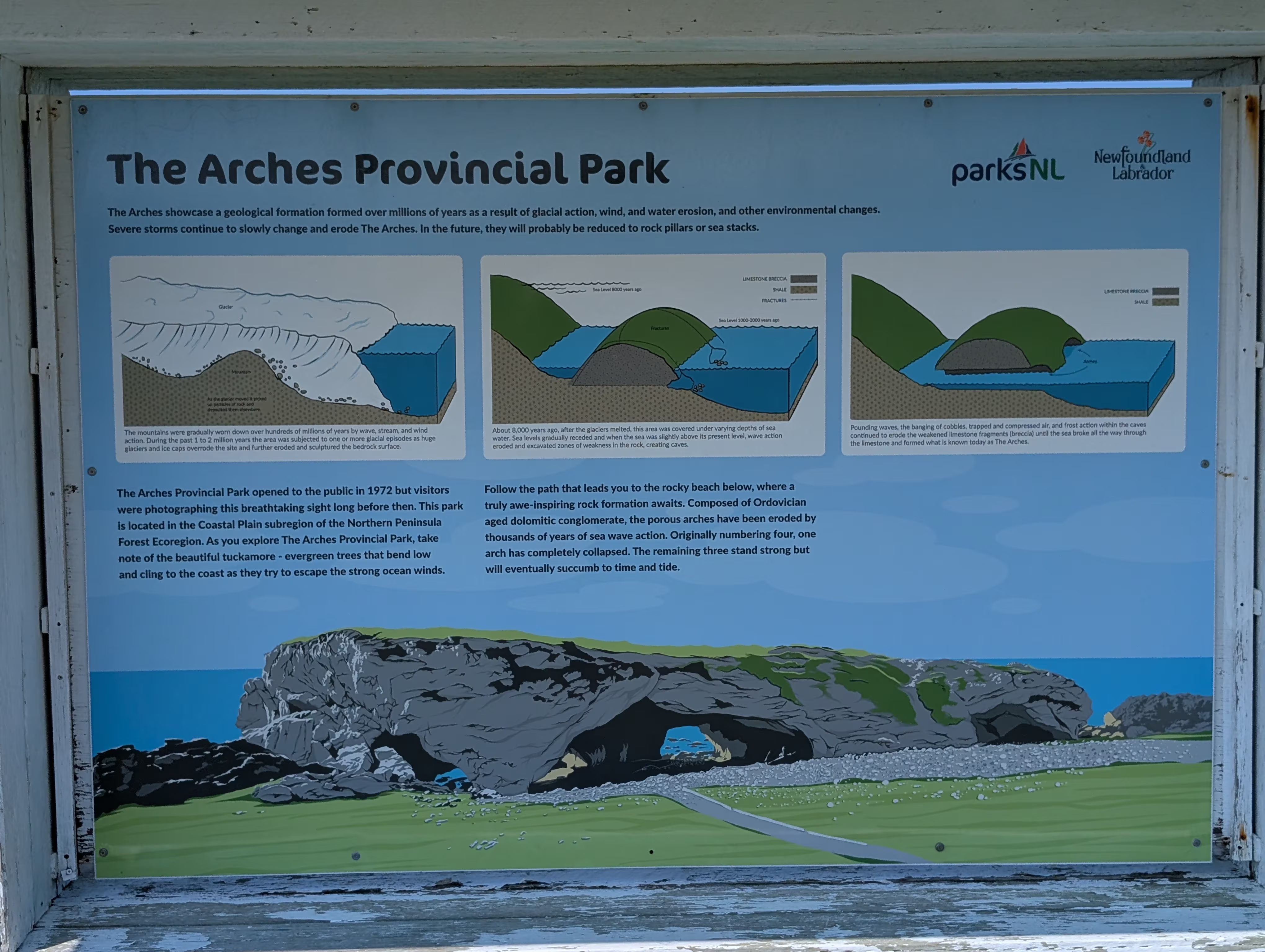
The glaciation and erosion that created these arches is described thus:
Shortly afterwards, we saw our first moose in Newfoundland:
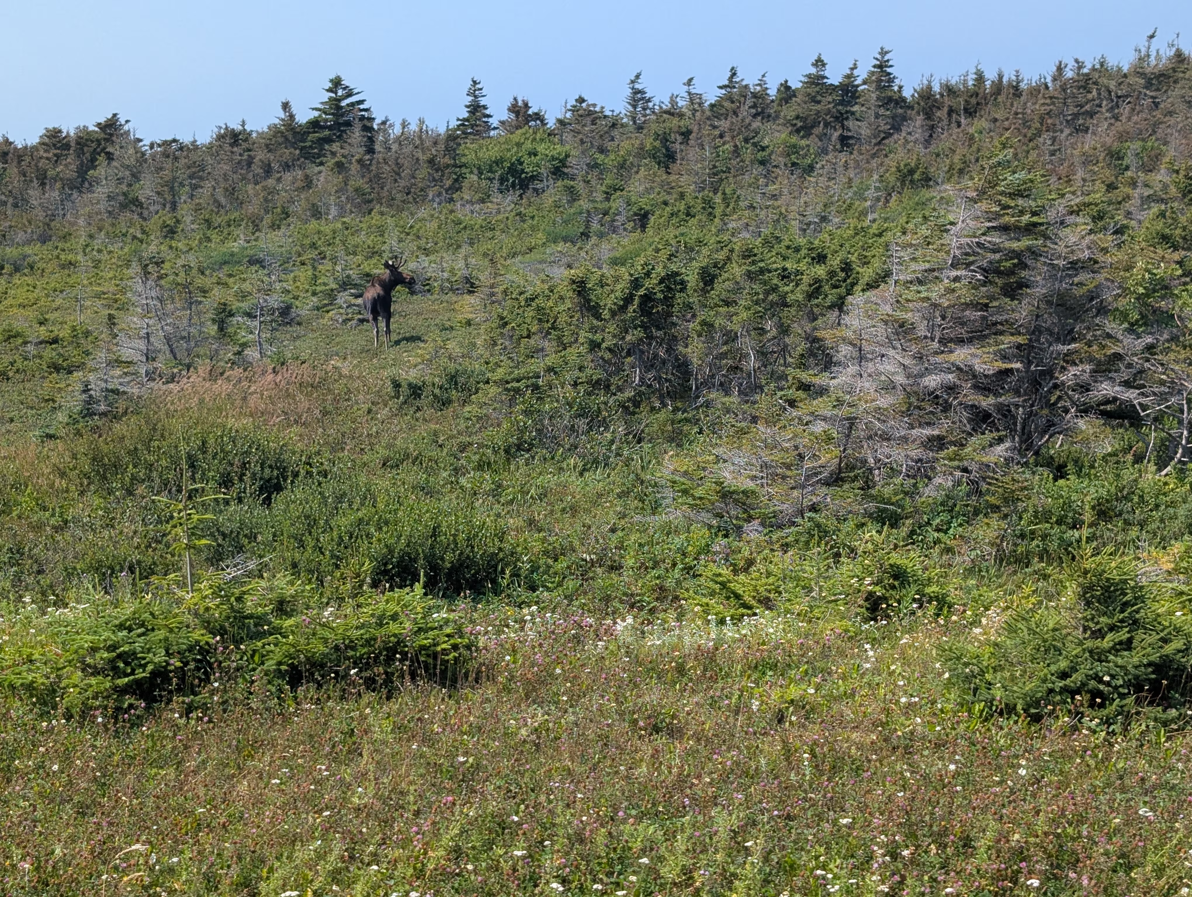
which is surprising because we had been told that there were moose everywhere and we already had been here for a week!
Shortly afterwards, we got our first glimpse of the iconic Gros Morne Mountain:
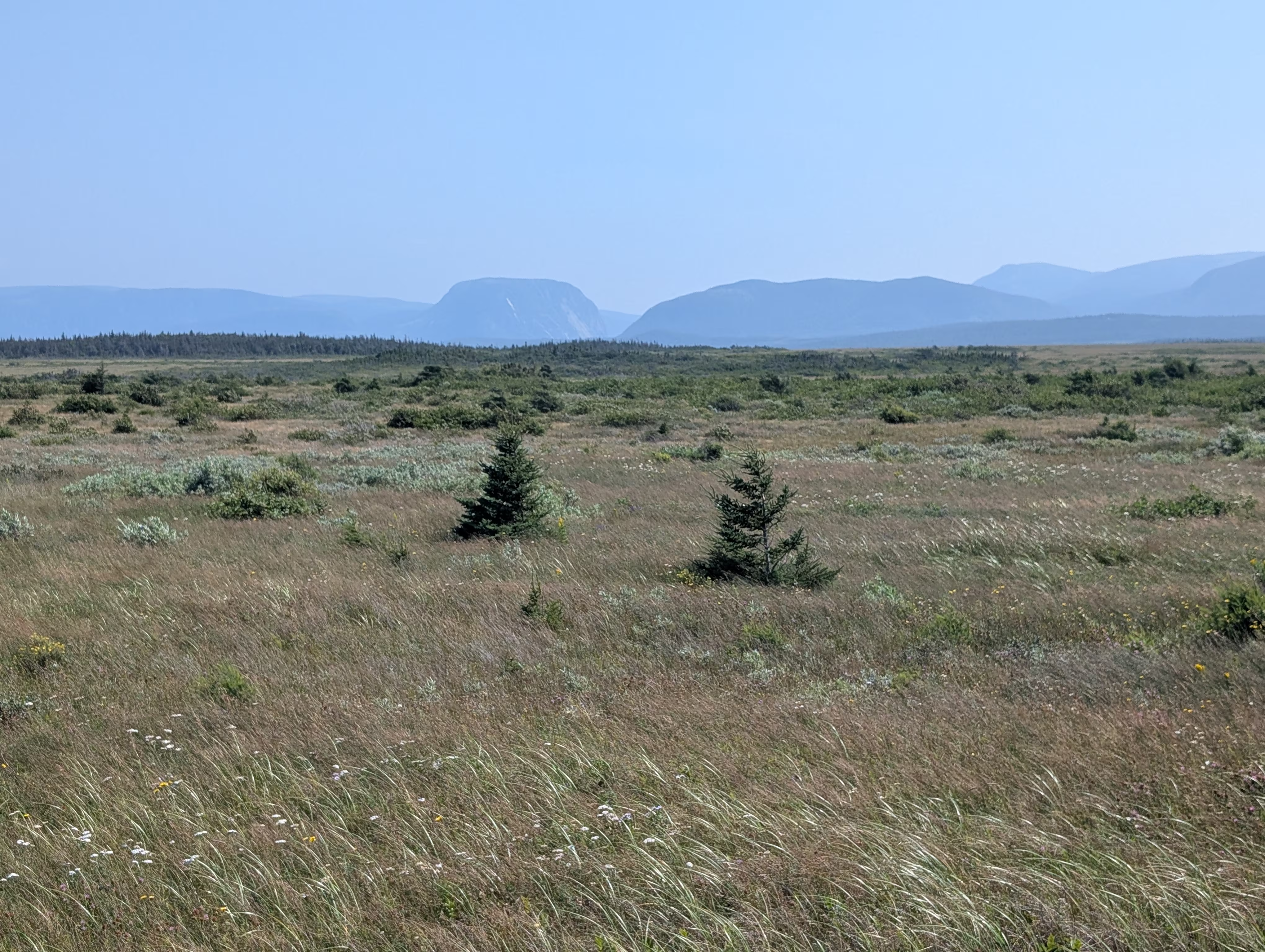
Rocky Harbour
We camped in Rocky Harbour:
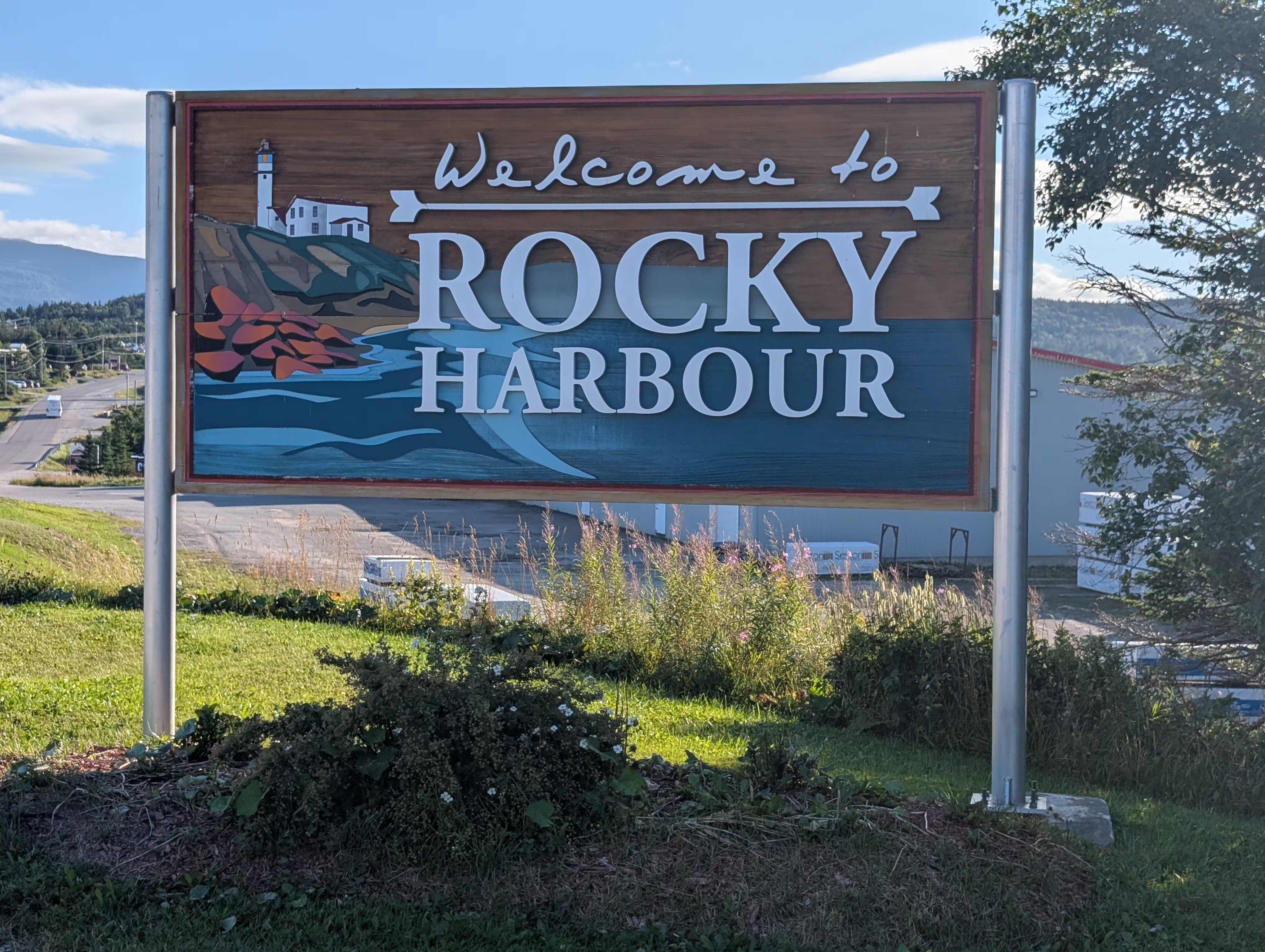
which is the home of the Gros Morne National Park Visitor Centre:
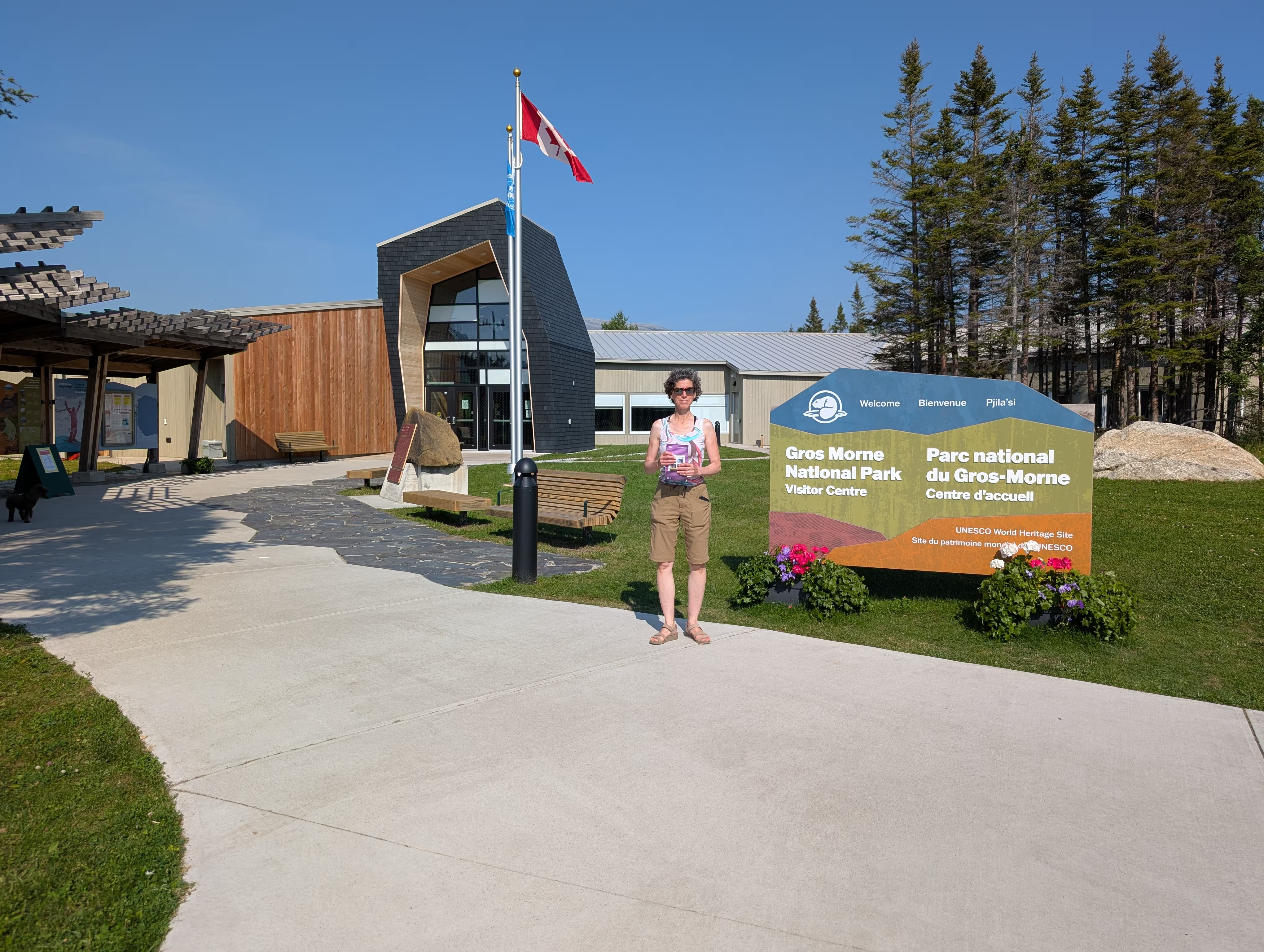
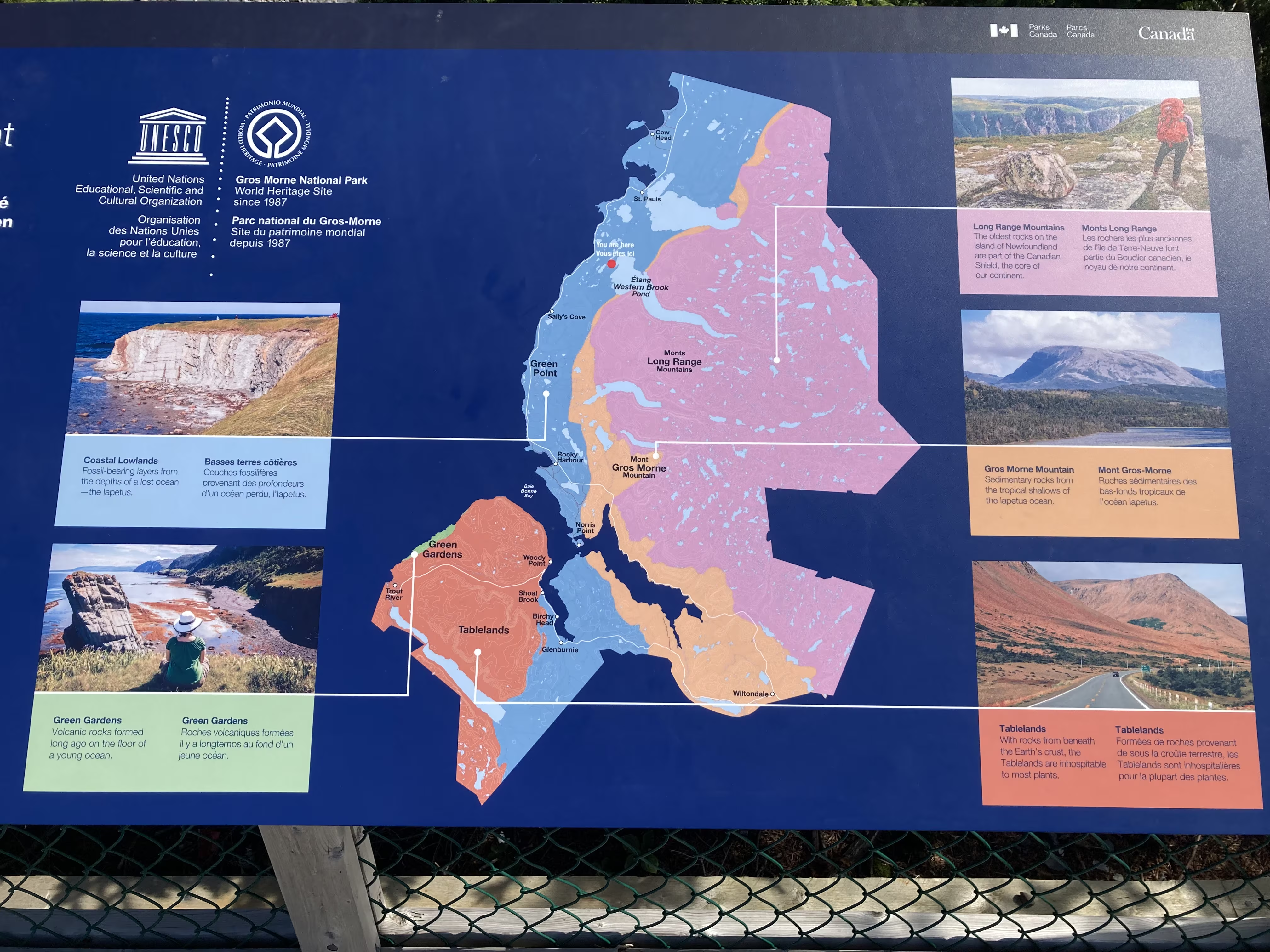
which has a map of the five distinct regions that make up the park:
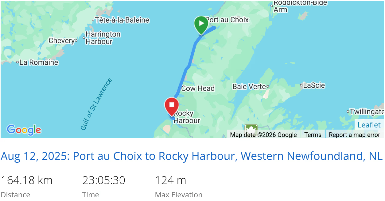
On the way back from the Visitor’s Centre, we got another good view of Gros Morne Mountain:
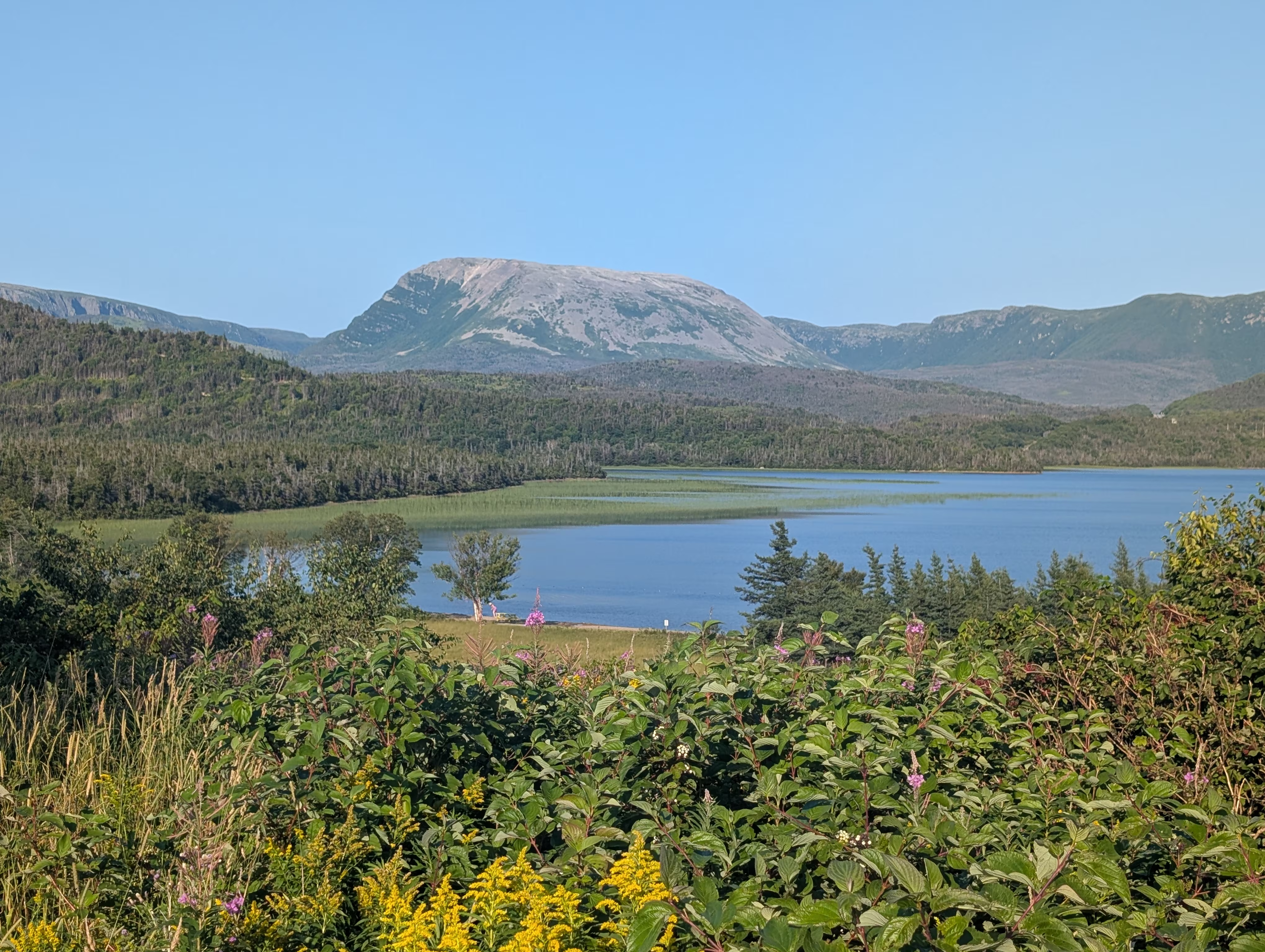
These were our tracks for Tuesday, Aug 12
 *click on the map for more details
The Tablelands
On Wednesday morning, we hiked the Tablelands Trail. To get to the trail head, we avoided the hour long 75 km car ride that has to go around East Arm and Bonne Bay, and instead had lots of fun riding our bikes the short way:
- starting with a 10.5 km bike ride to Norris Cove
- then a 15 minute ferry ride on the Bonne Bay Water Shuttle
- finishing with 6 km bike ride to the trail head that includes a 200 m ascent
It is evident that not many people make this bike trip as evidenced by the number of encouraging horns from pass cars and motorcycles, and by the fact that there are no bicycle racks at the trail head parking lot!
Here we are departing the ferry terminal:
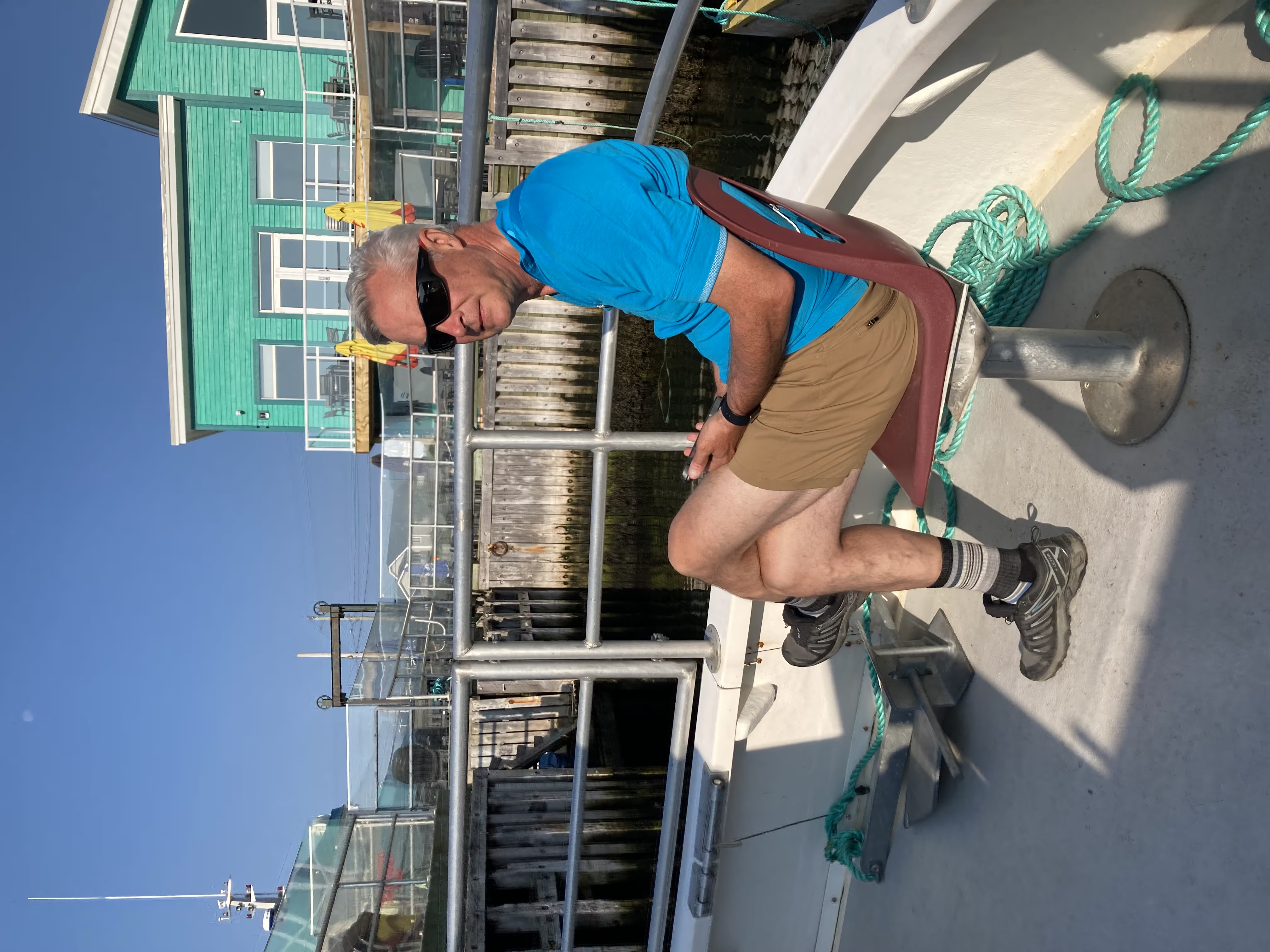
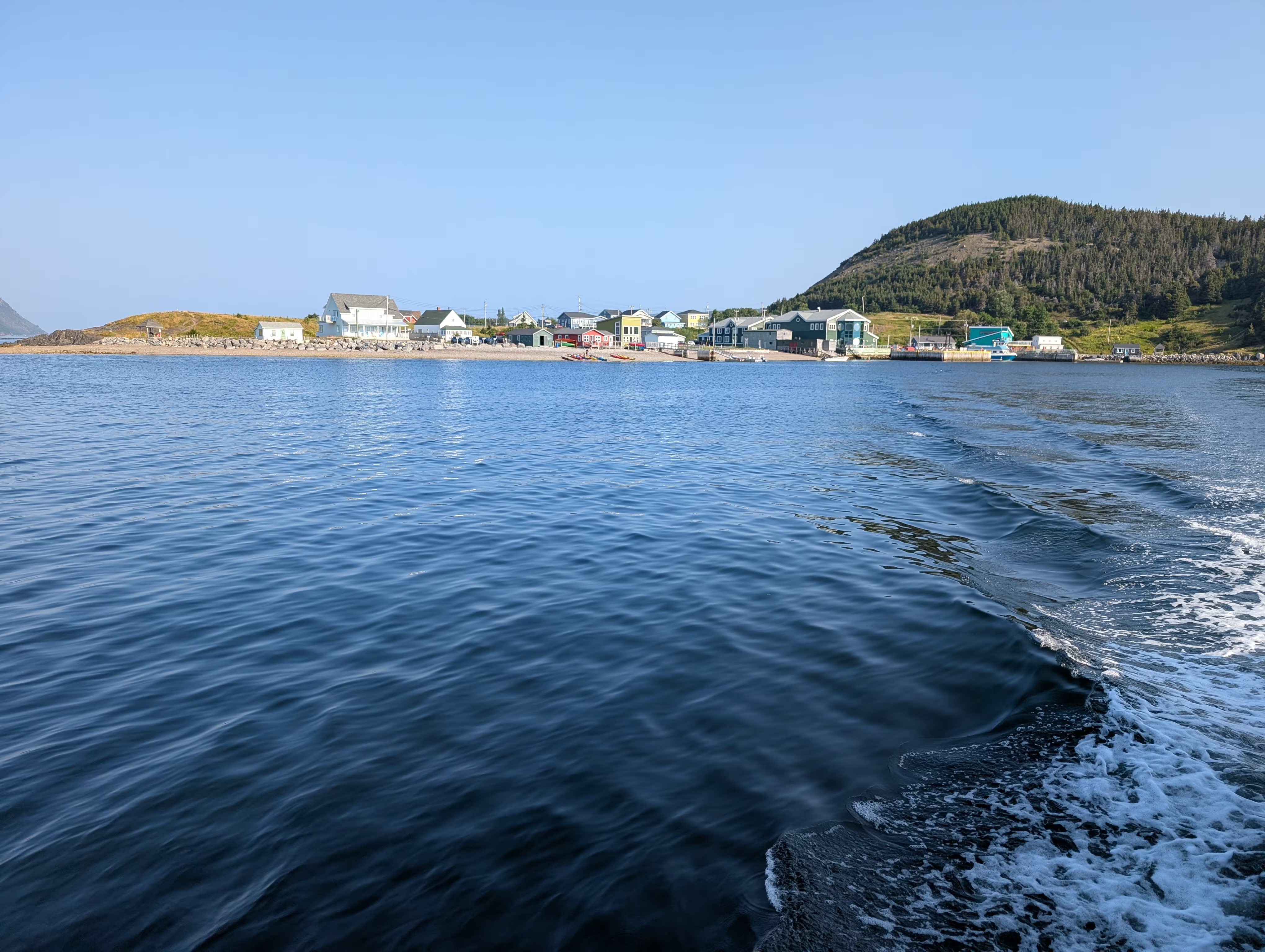
before looking forward towards the Tablelands:
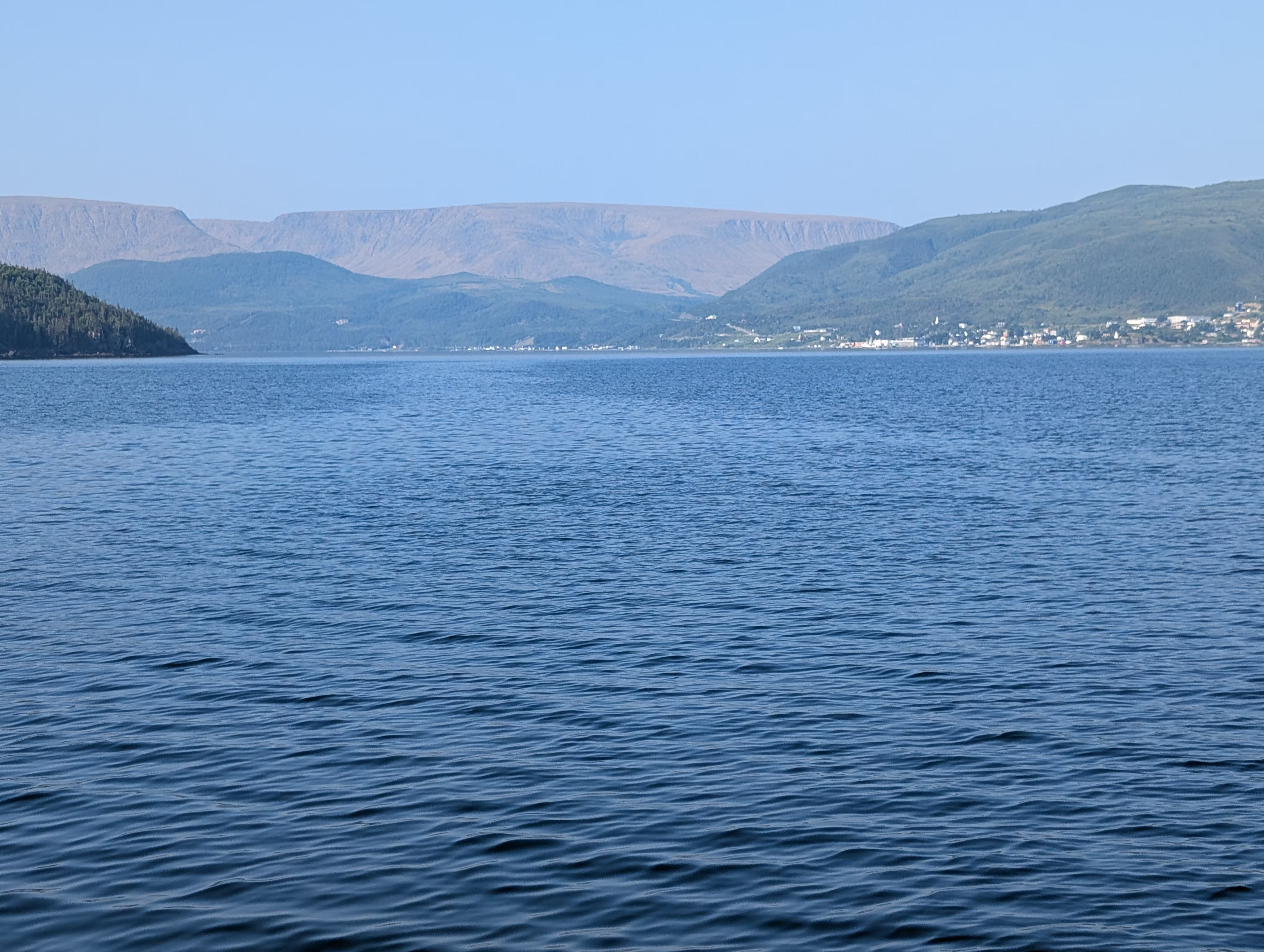
After climbing most of the 200 m, we stopped for drink and a better view:
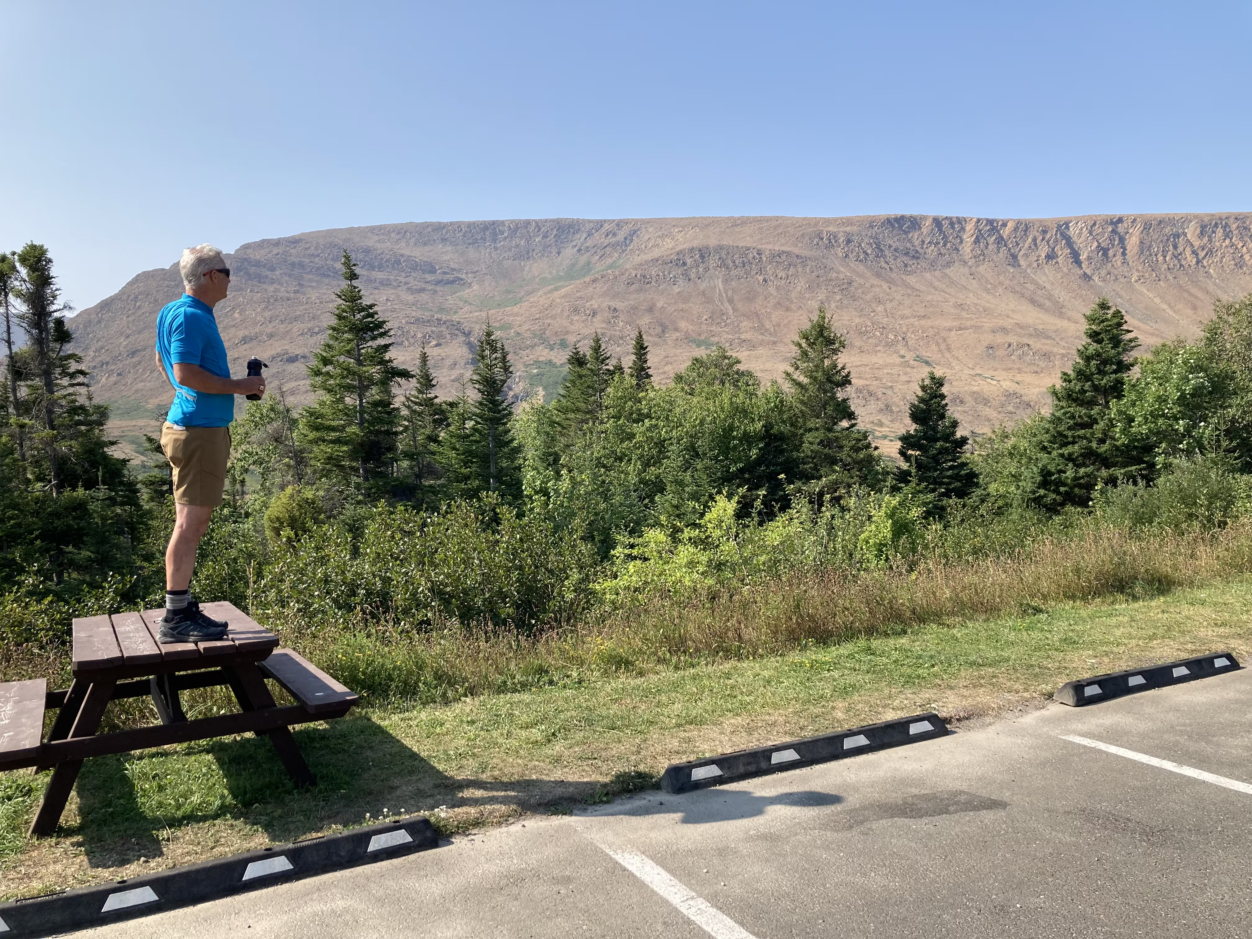
The Tablelands are the third UNESCO we have visited in Newfoundland:
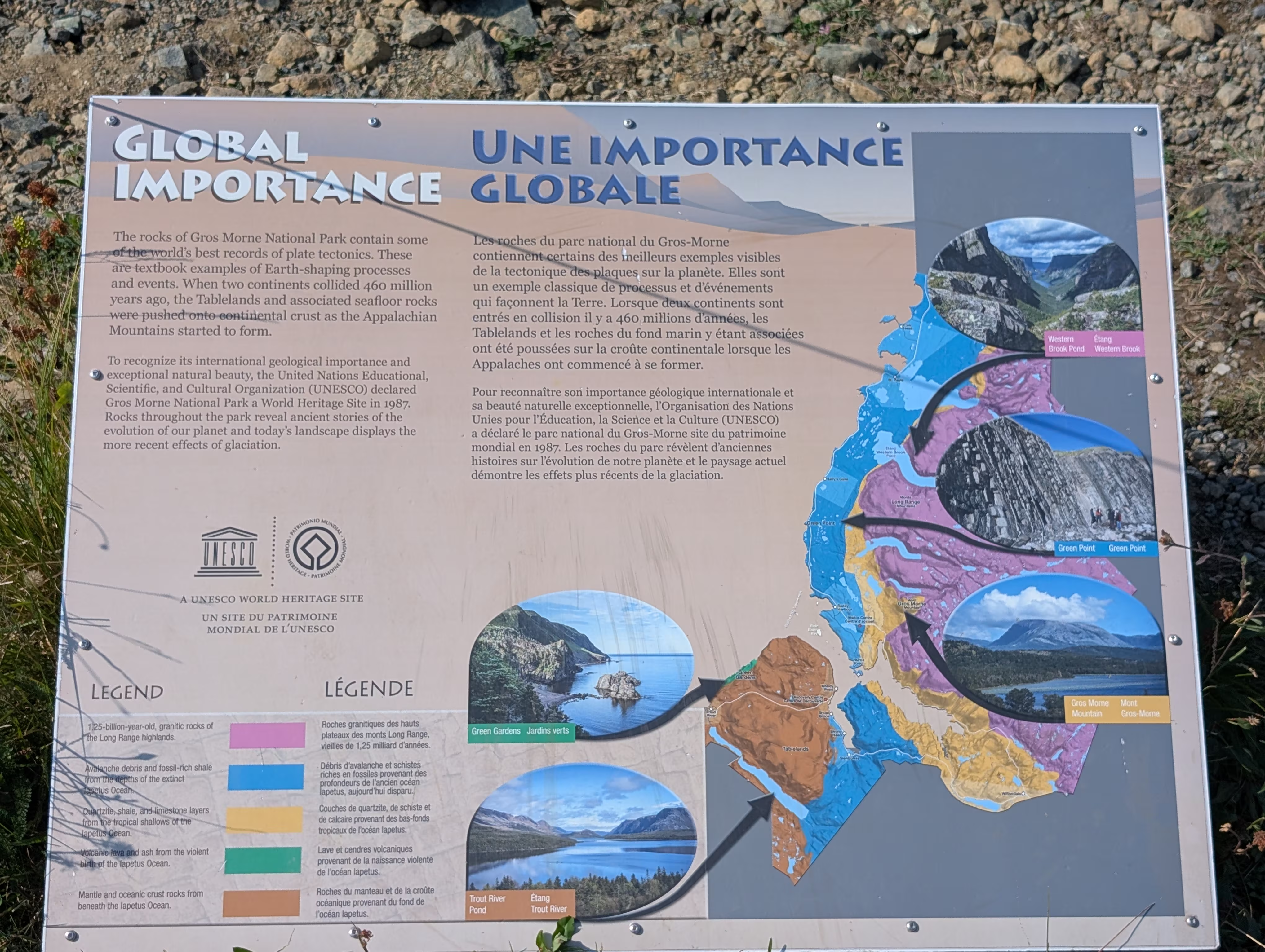
which got its designation because it is one of the best places on earth to see rocks from the earth’s mantle, which resides below the earth’s crust:
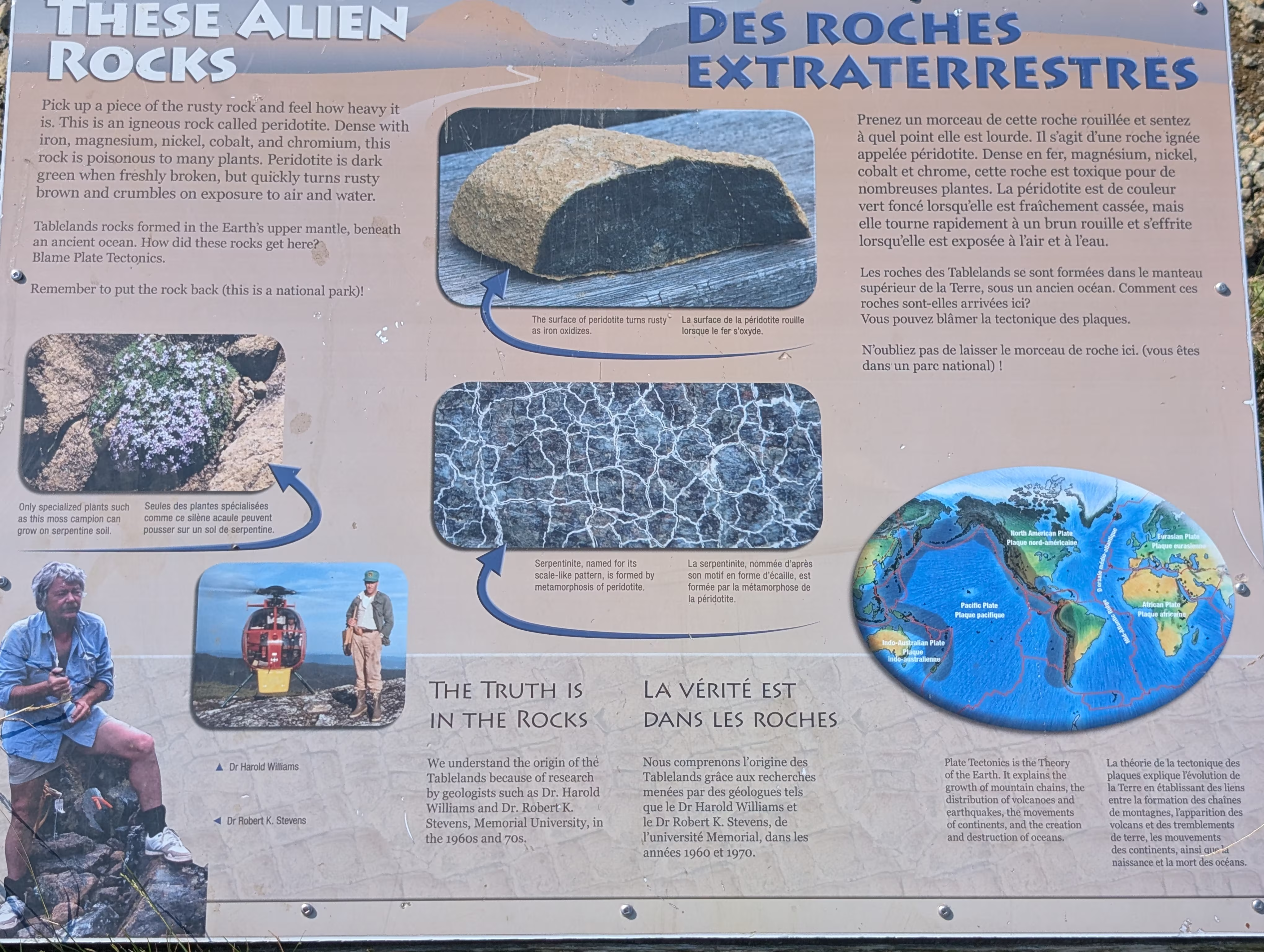
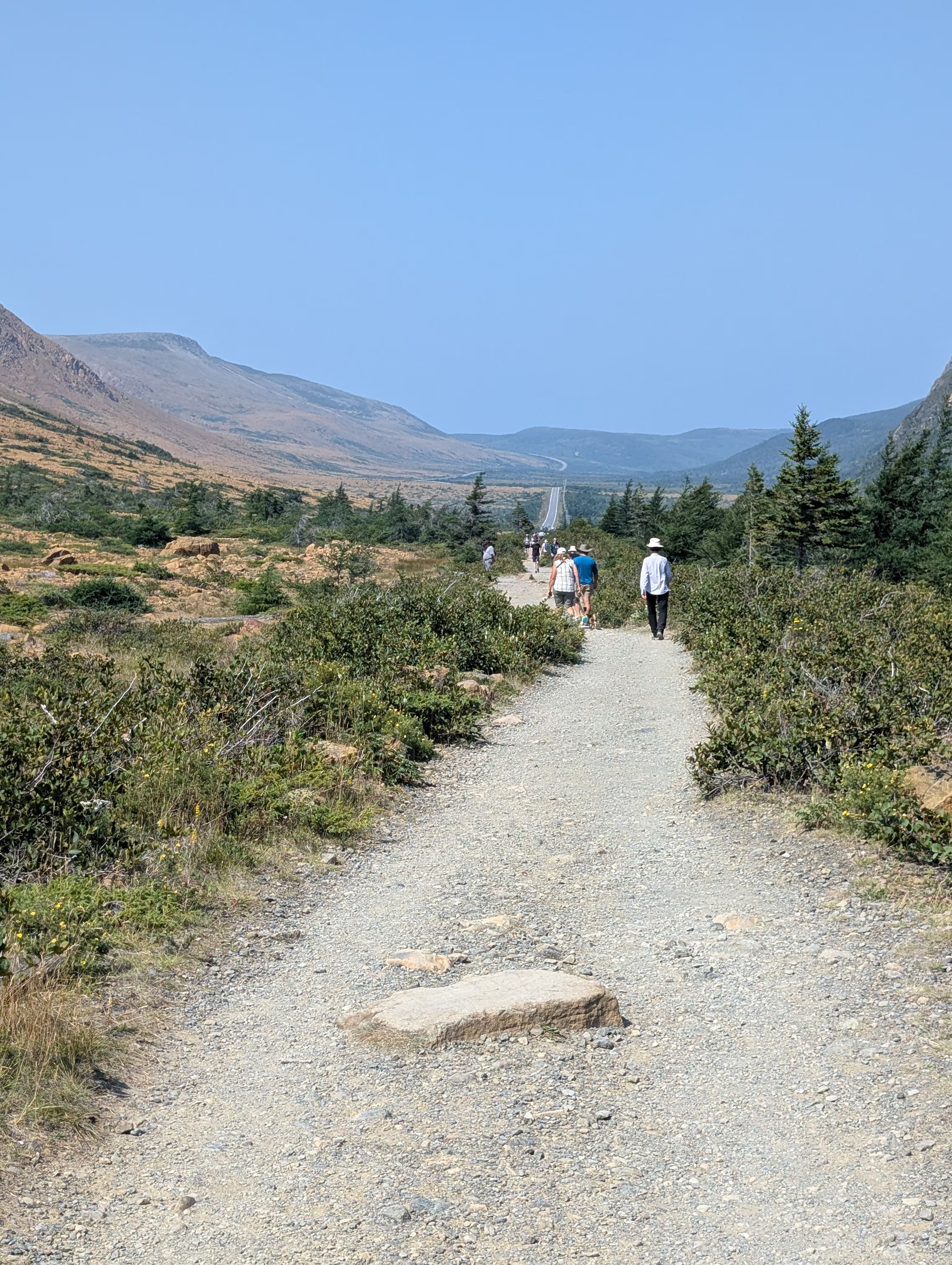
These rocks are rich in minerals making the area inhospitible to most plants and creating a mars like landscape:
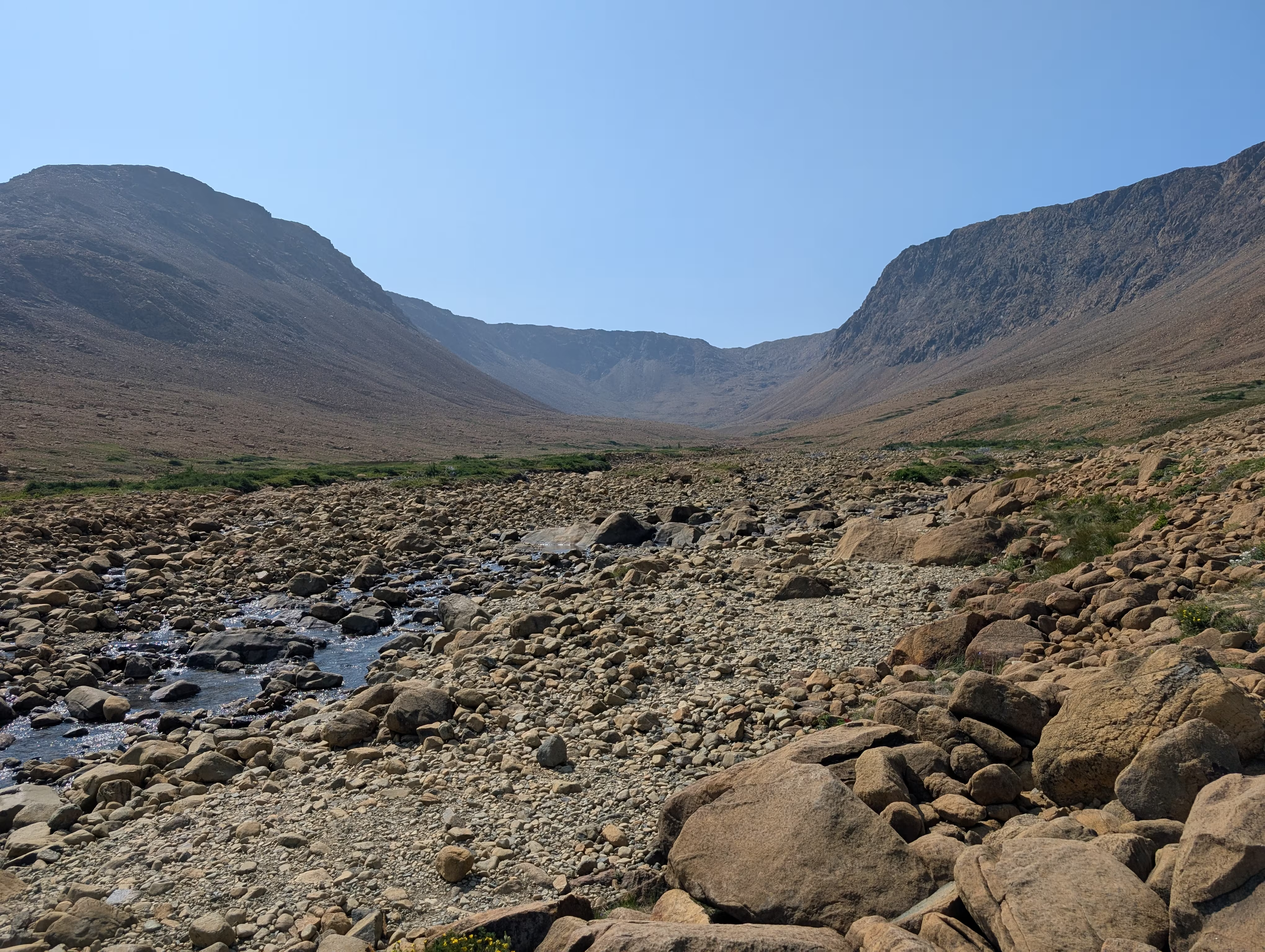
The hike is easy:
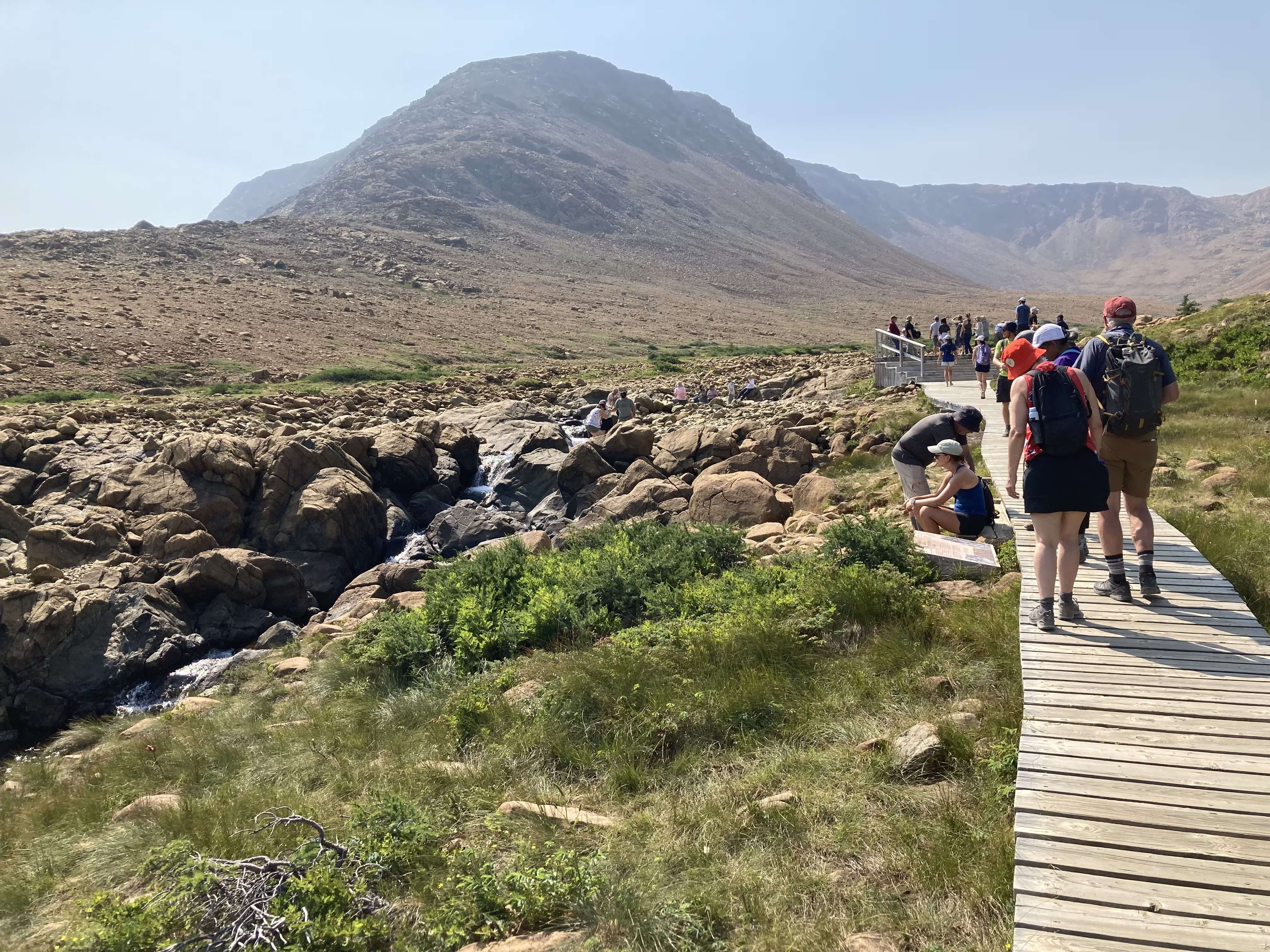
At the 2 km point (the farthest point), you can cool your feet in a stream :
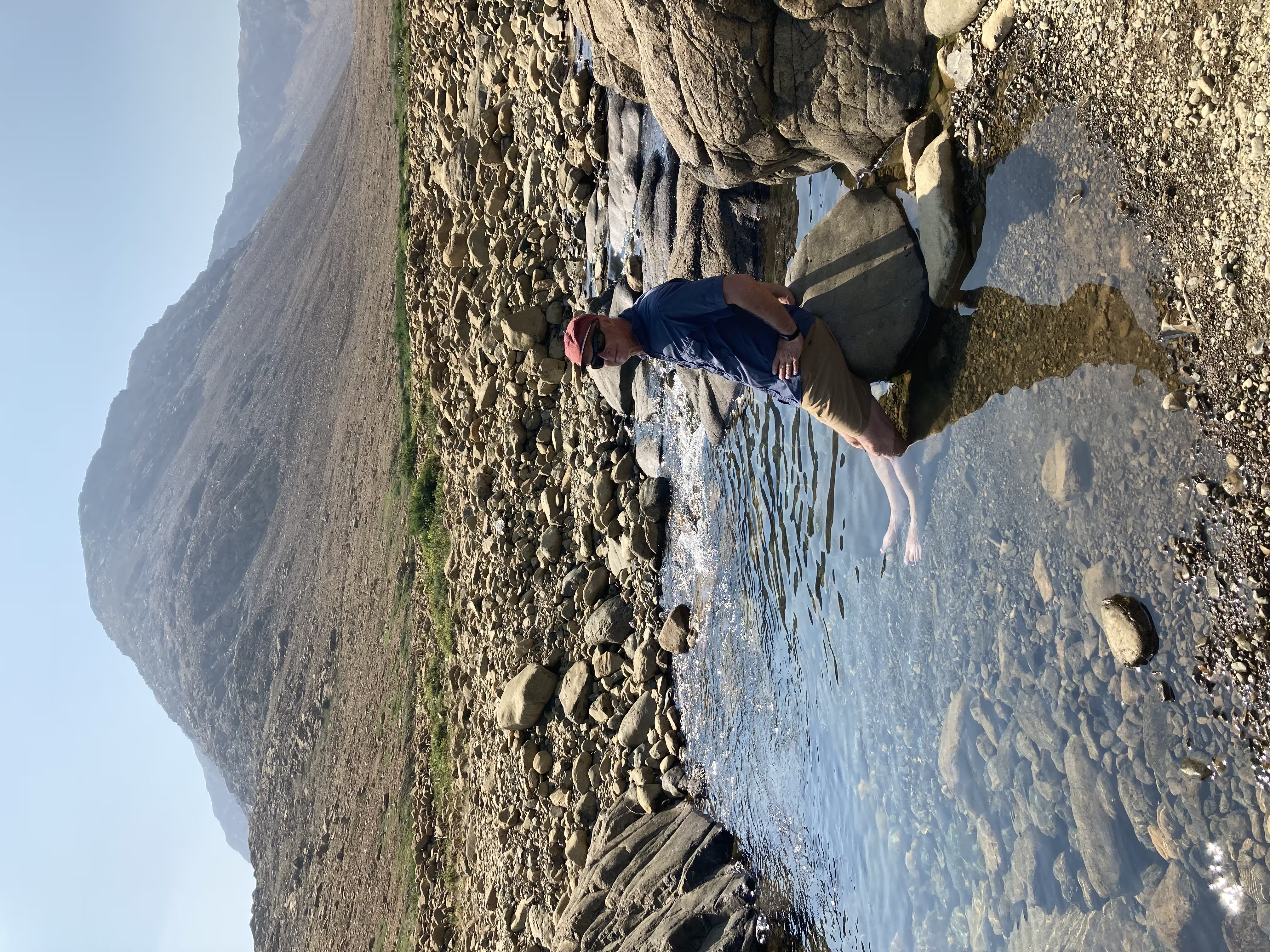
before returning:
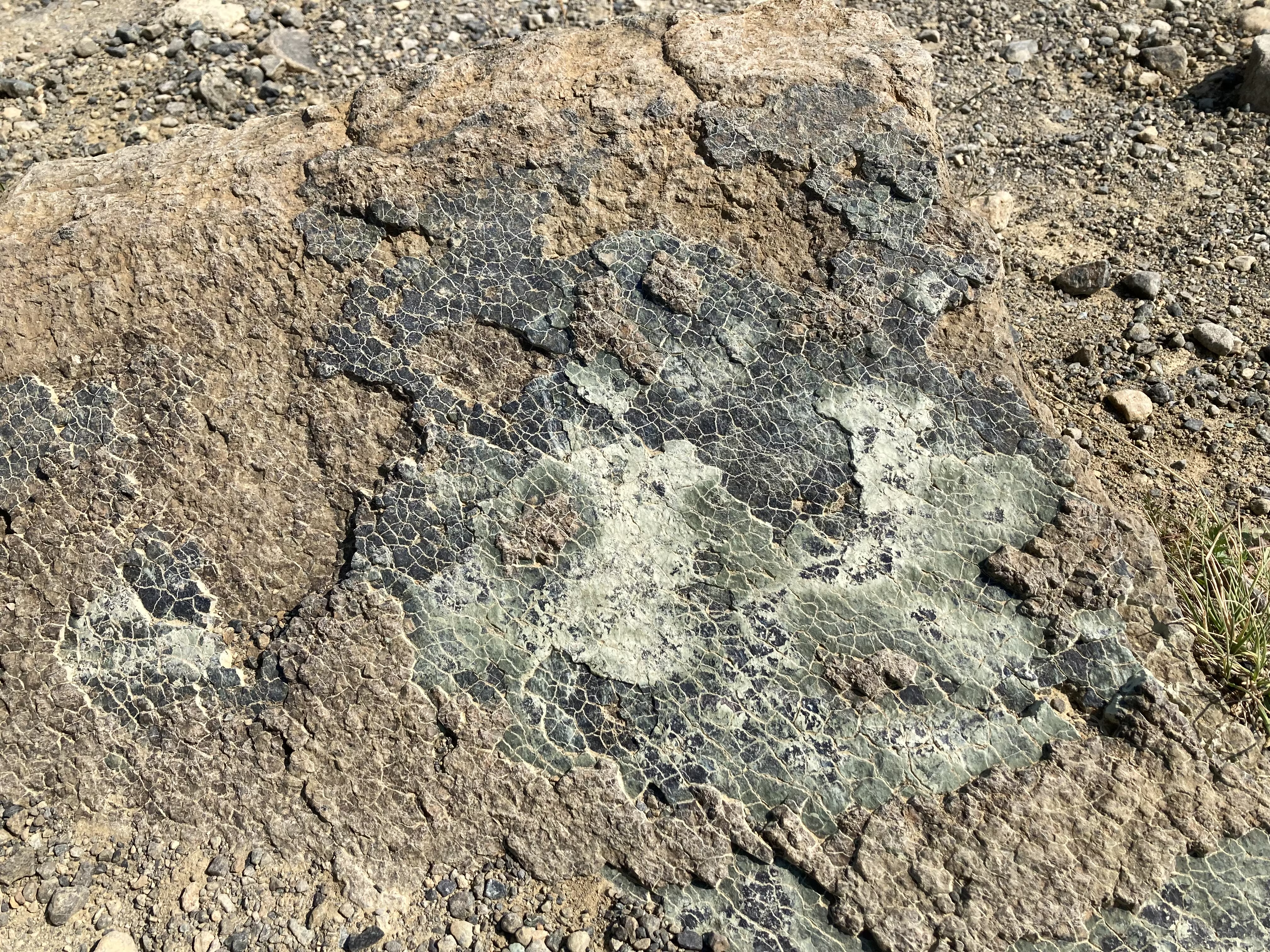
We extended the hike a little bit by taking the Serpentine Loop, which features Serpentinite rocks that have a scaly appearance:
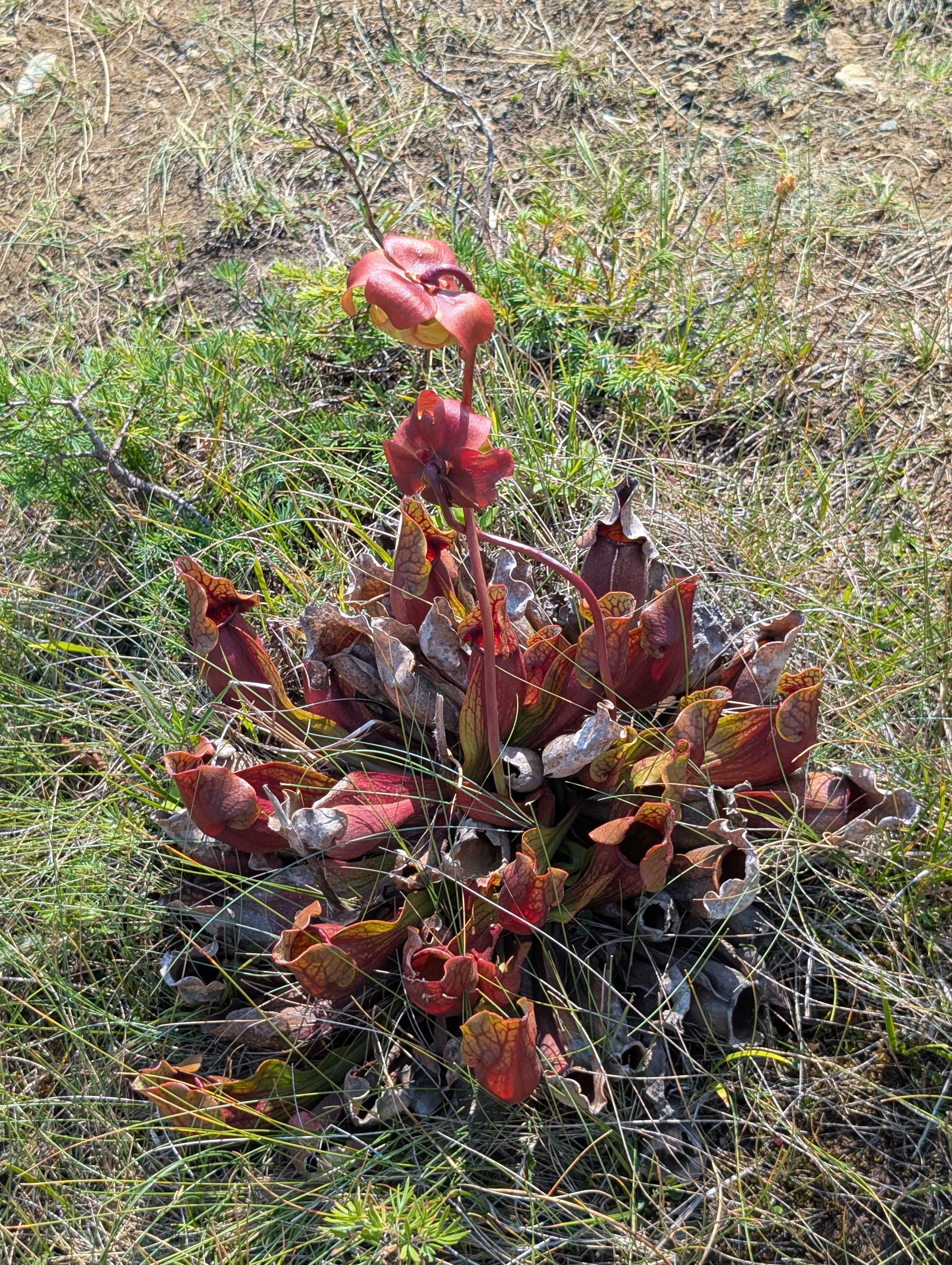
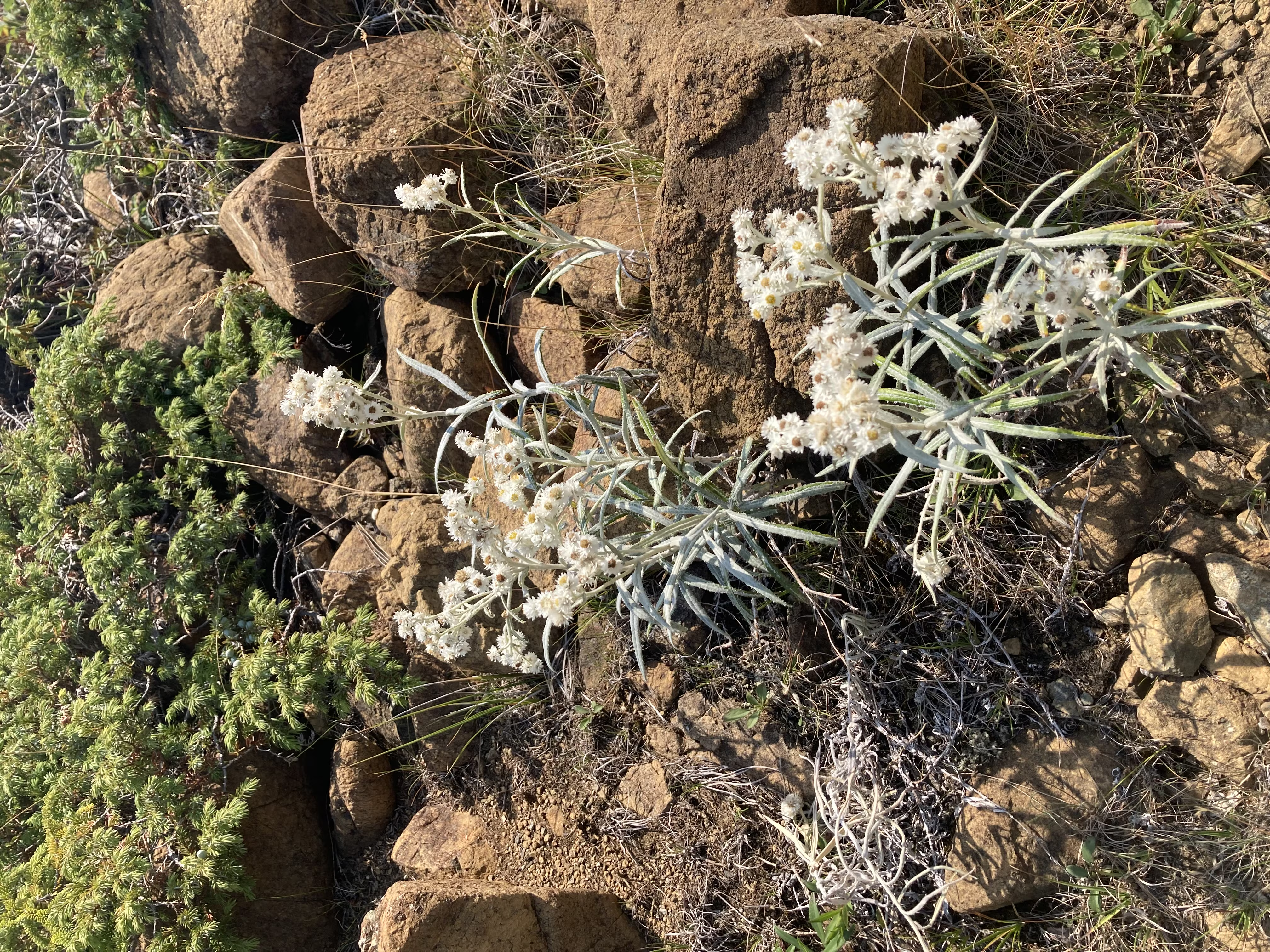
The Loop always provides viewing opporunties for plants can survive in this harsh environment:
Lookout Trail
On Wednesday afternoon, we hiked the Lookout Trail which climbs 360 to give a panaromic view of the park.
You can look down on to Bonne Bay (both the bay and the town) and the Bonne Bay Water Shuttle (that took this morning and will take later this afternoon):
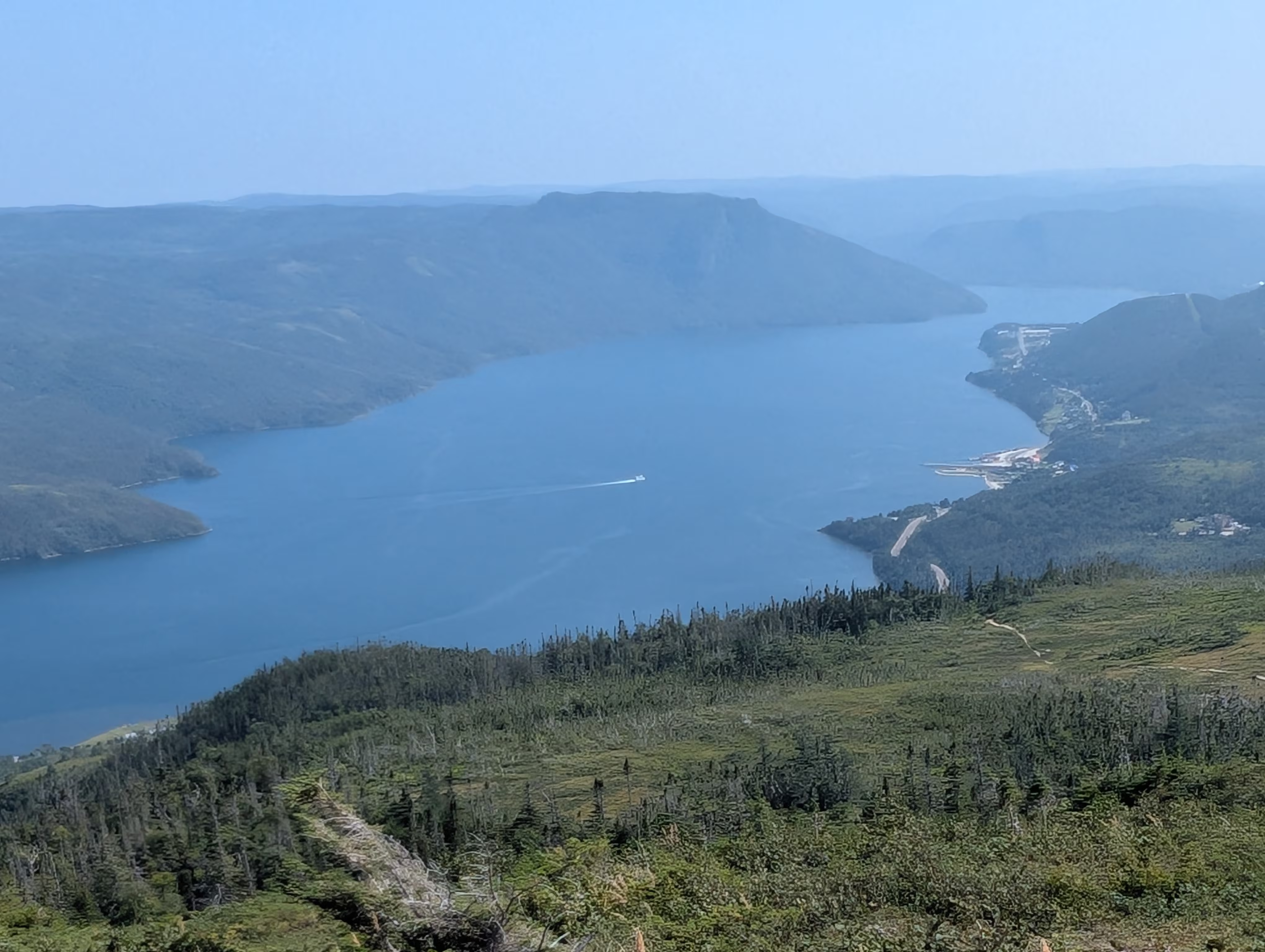
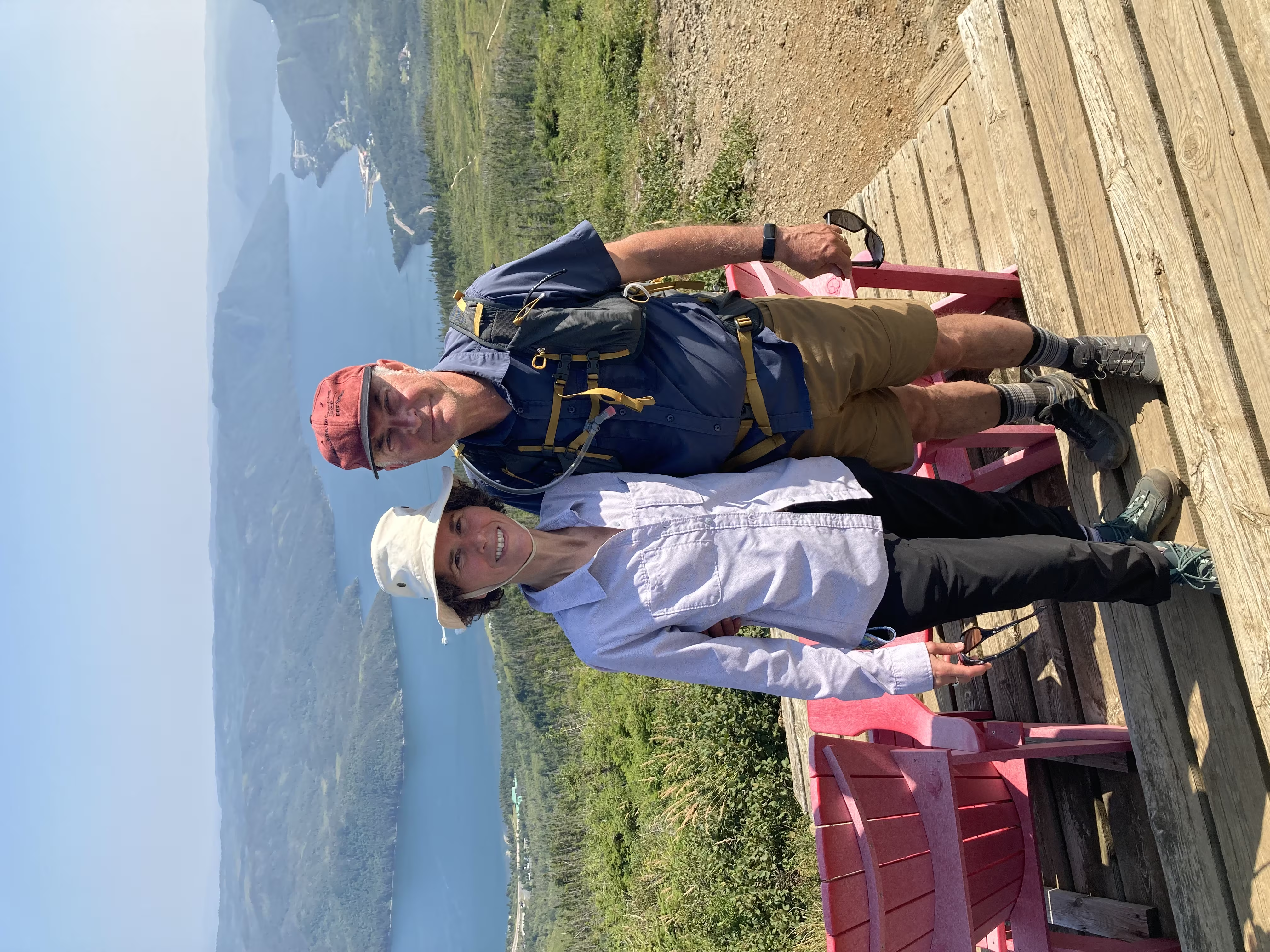
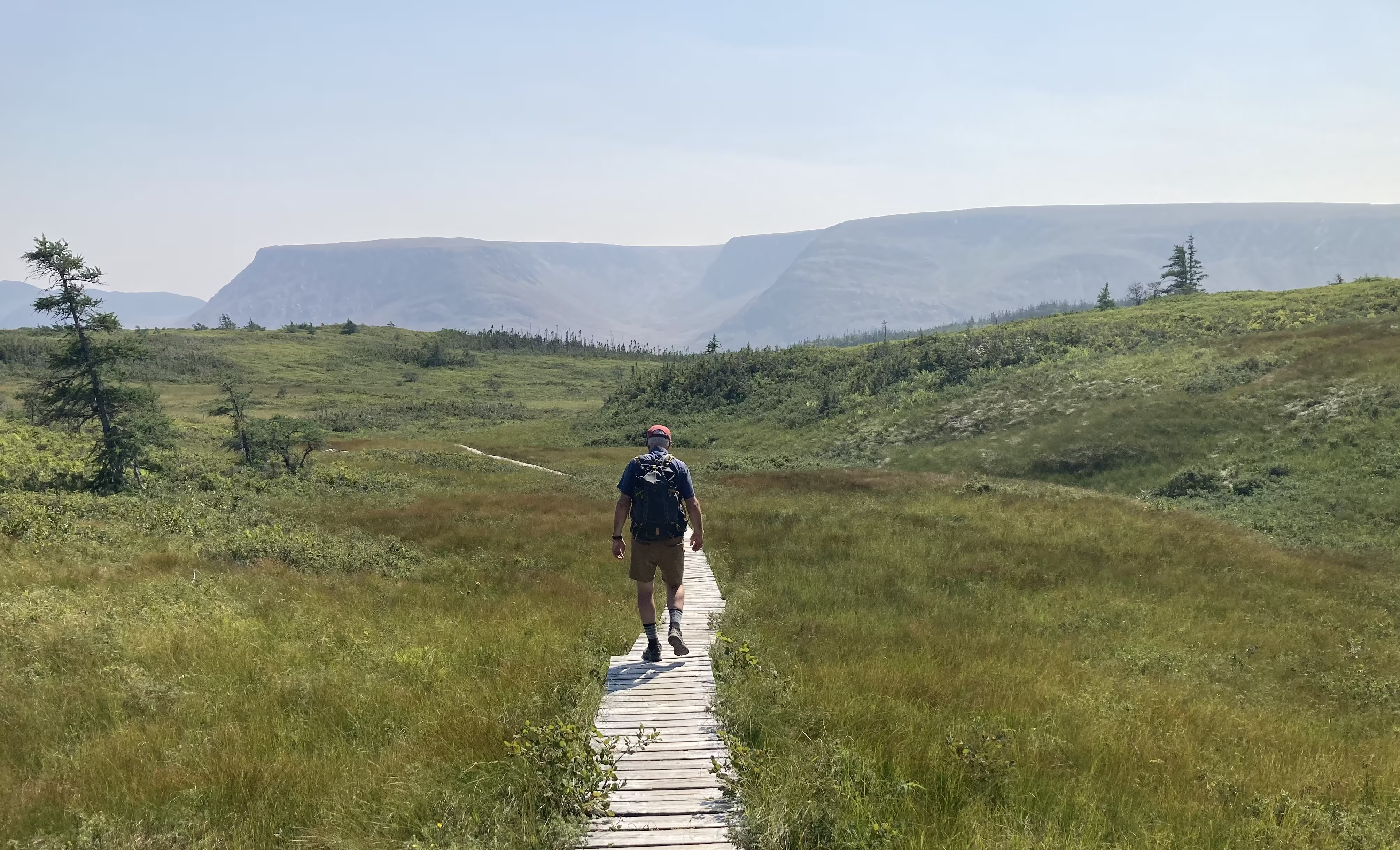
and across to the Tablelands:
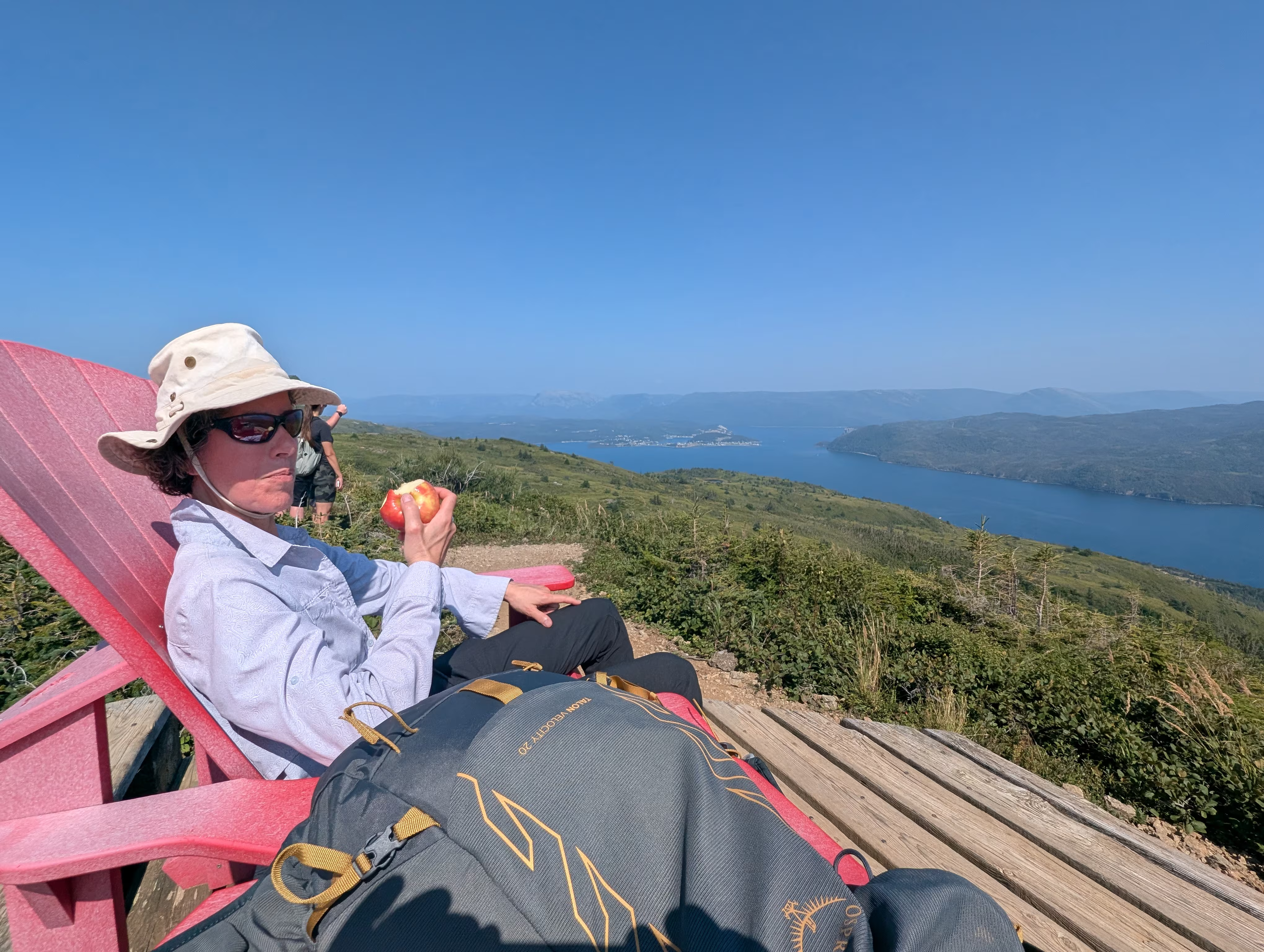
and north to Gros Morne Mountain, which you barely can see just above Gail’s left hand:
These were our tracks for Wednesday, Aug 13
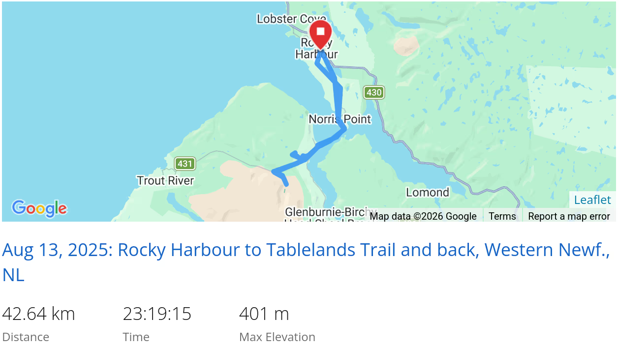 *click on the map for more details
The Kitchen Party
Most of Thursday was spend doing chores (laundry, shopping, etc.), but in the evening we went for the Kitch Party, which is a Newfoundland Tradition of:
Drinkers and carousers crowding around a woodstove or step dancing across the floor, while a few musicians sit in the corner trading songs and tunes. The kitchen party has been enshrined as an iconic image of the Newfoundland lifestyle, turning up in television shows, music videos and tourism promotion campaigns.

This is one of the few times that were exposed to a strong Newfie accent and the performer laid it on strong to the point where we needed a Rosetta stone, which turned out be Google! He would announce a song, and if we were lucky, we could make out the name of it, at which point we googled the song name to get the lyrics so that we could follow along. Sometimes, we needed to hear part of the song to get enough information to find the lyrics.
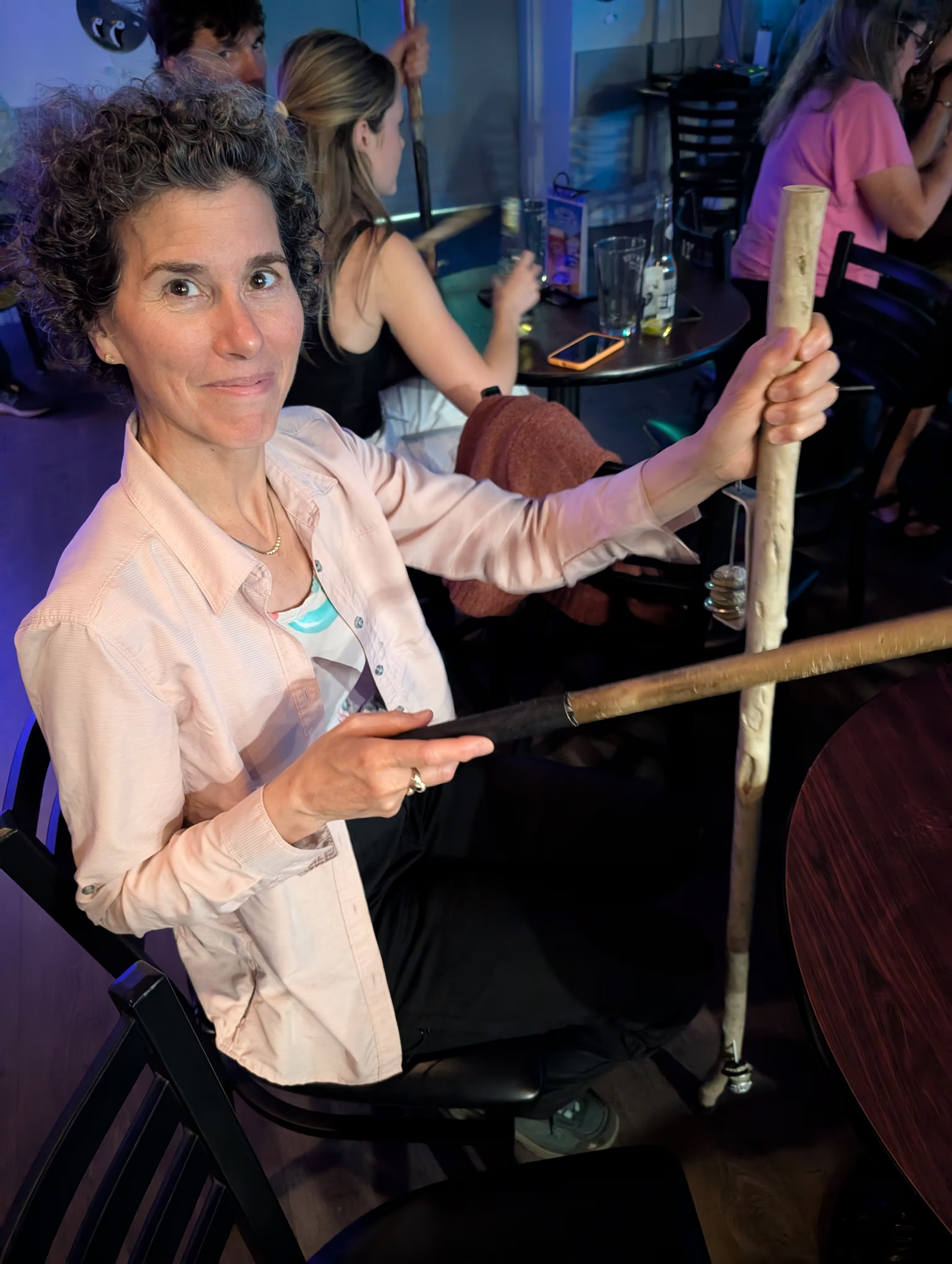
Of course, a kitchen party is all about participation:
That night, out of spite I think, our kitchen tent decided, under the influence of strong wind, to go for a walk right into the stream behind our campsite:
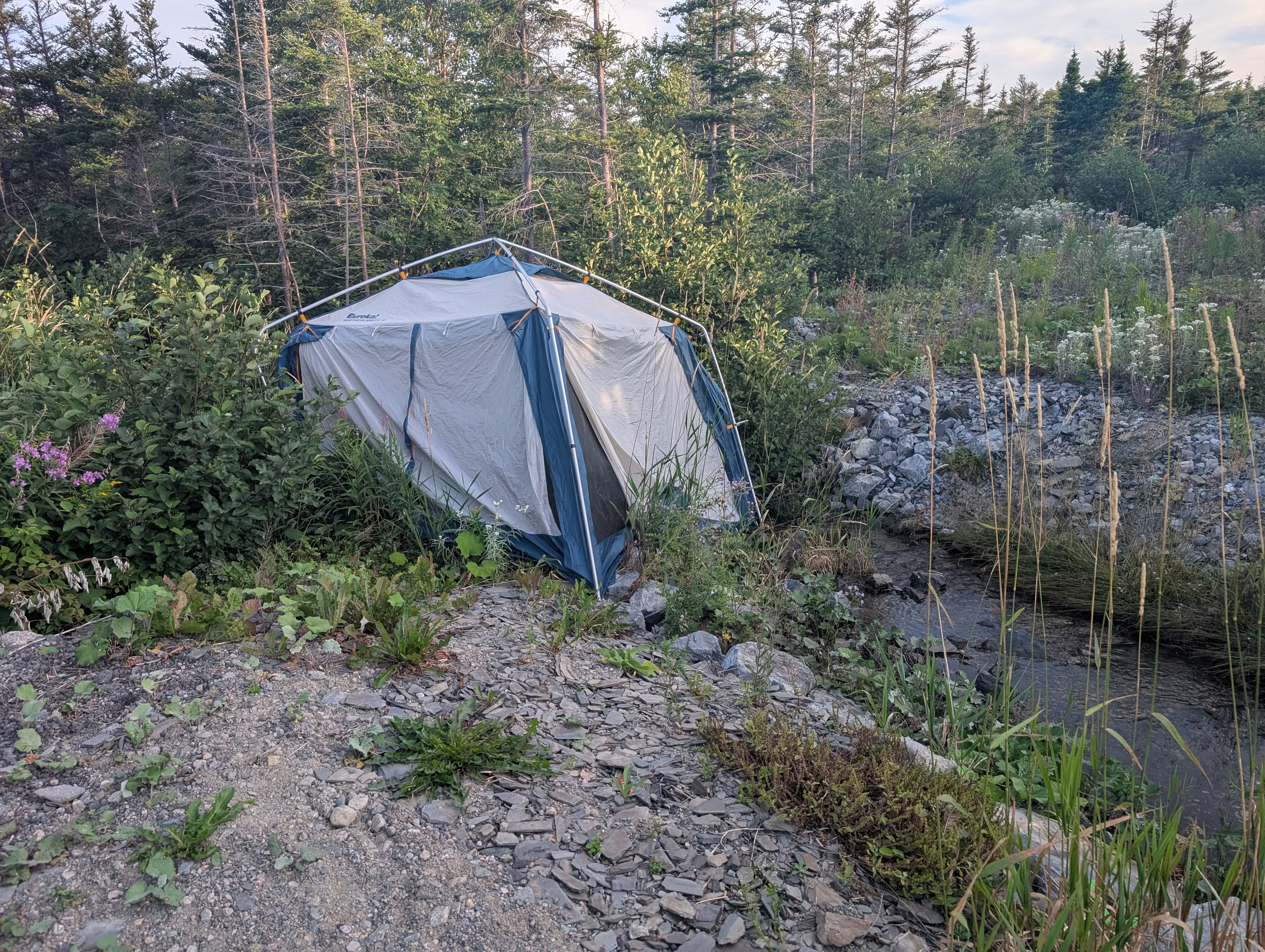
It suffered a broken pole.
2026-07-11 update: the pole still is not mended;-)
Western Brook Pond Approach
On Friday, we visited Western Brook Pond which contributes to Gros Morne’s UNESCO World Heritage site because it provides stong evidence to support the theory of tectonic plate movement and the formation of continents:
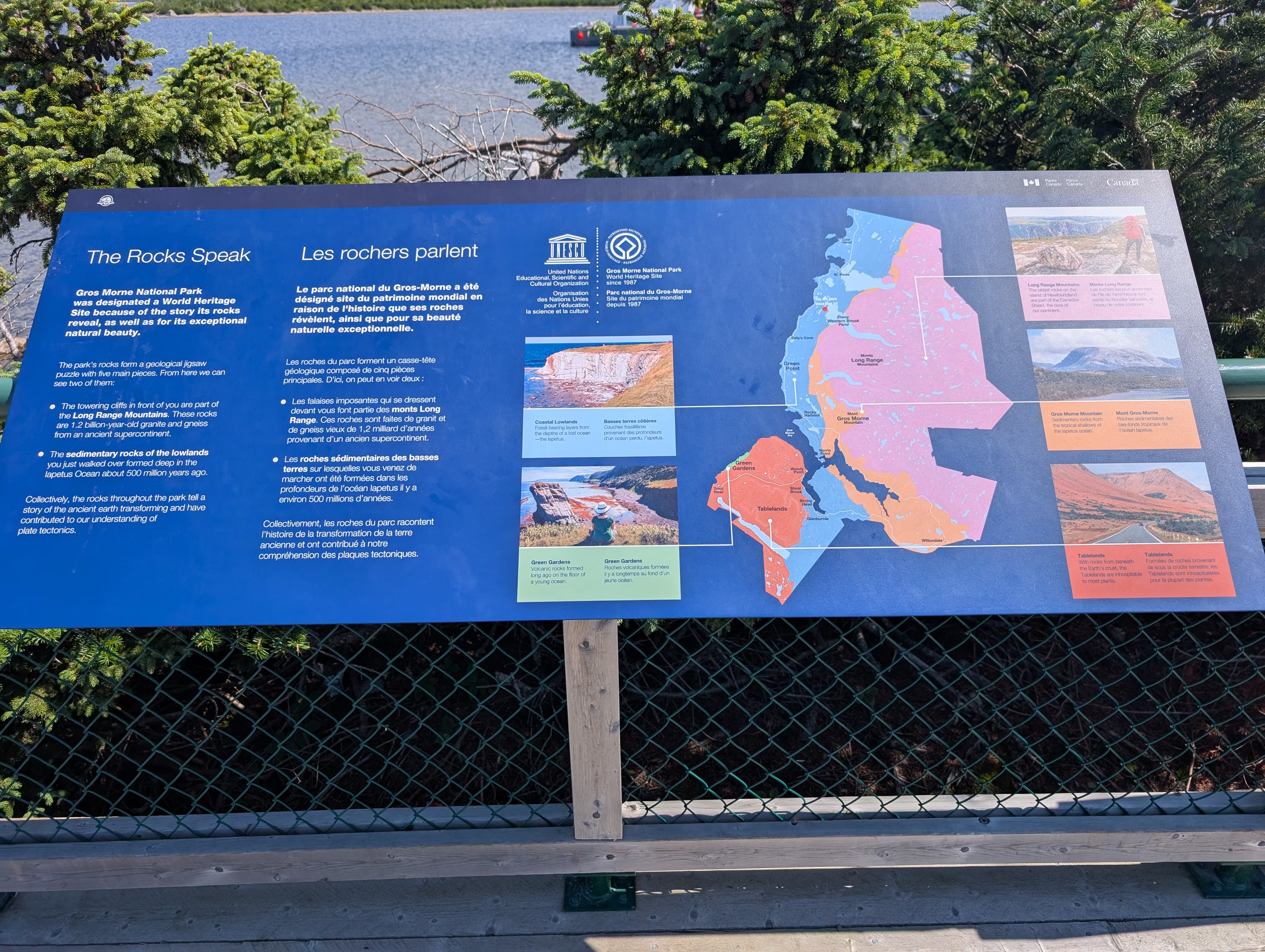
It is a 6 km fjord carved by ice into a tectonic plate that was thrust up onto another tectonic plate:
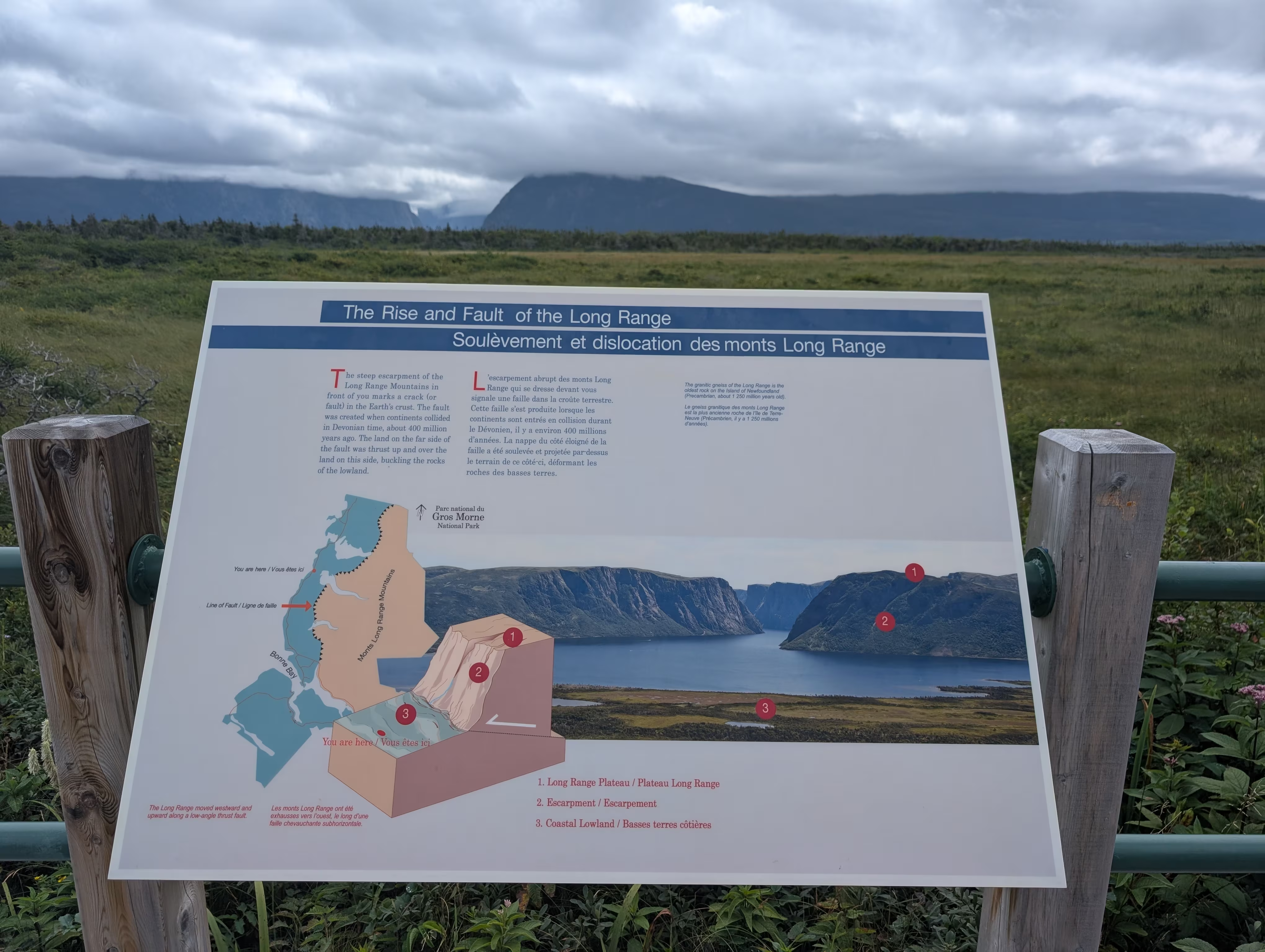
which is nicely depicted in this model:
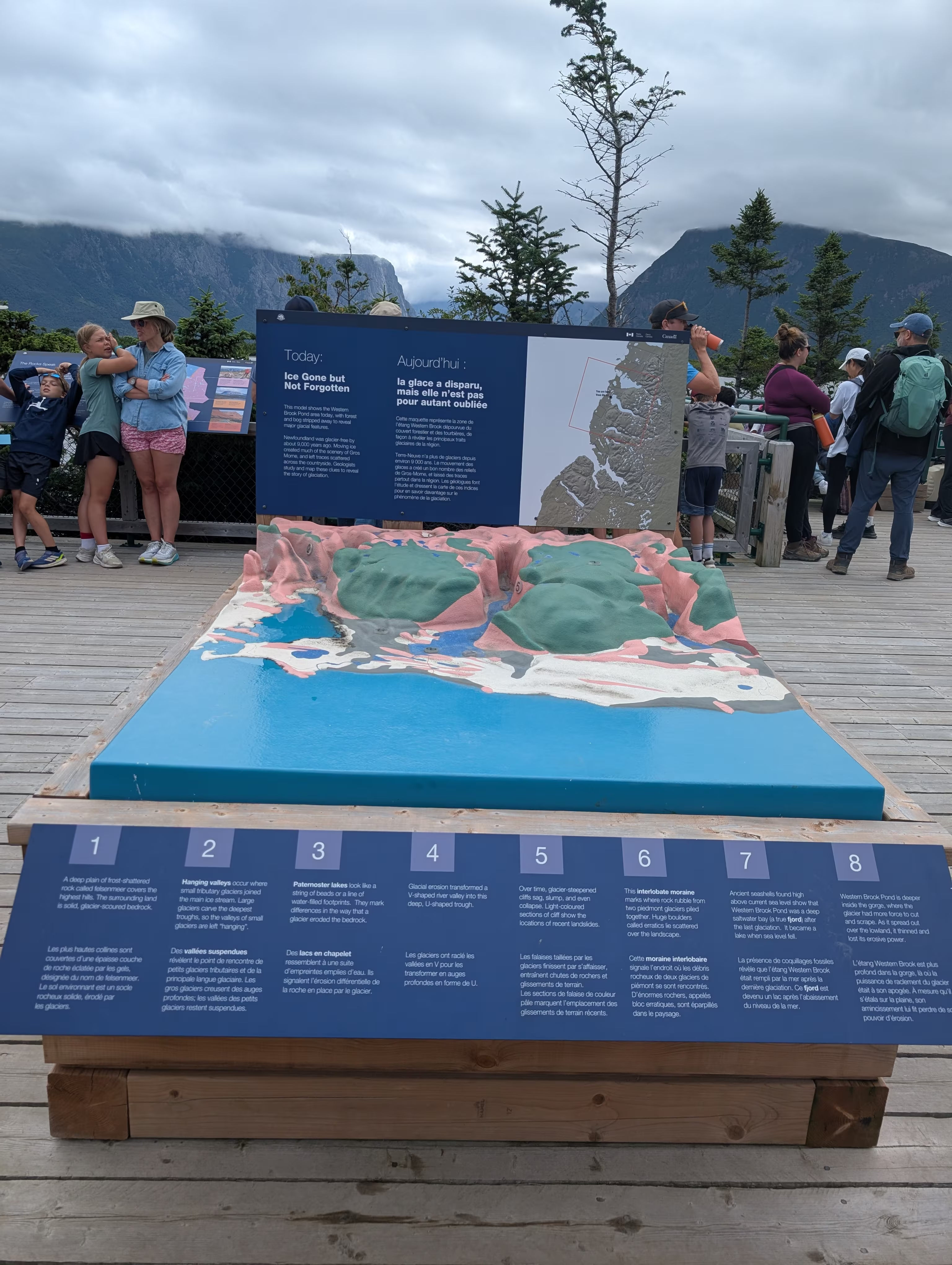
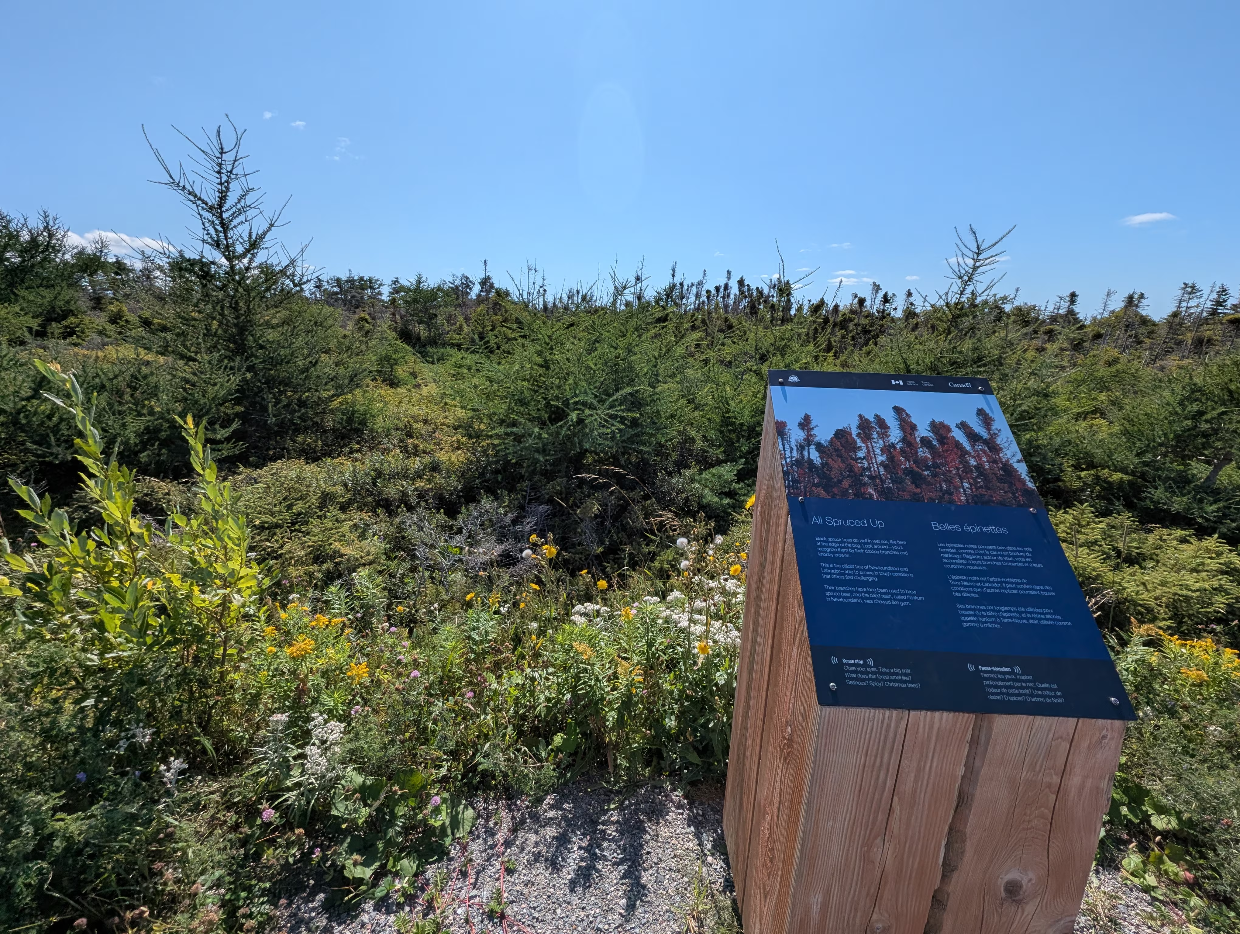
To get to the Western Brook Pond, one must hike the 3 km long interpretive trail that starts at the parking lot. This land around the trail is on a thin layer of dirt on the lower tectonic plate:
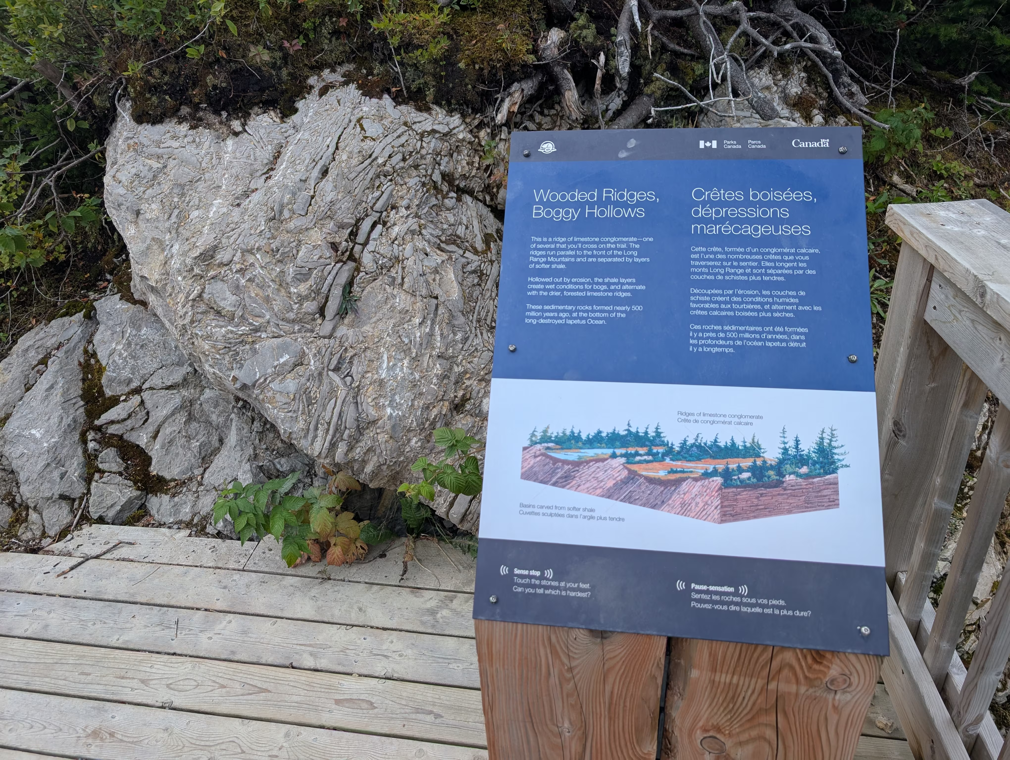
Hence it mostly bog:
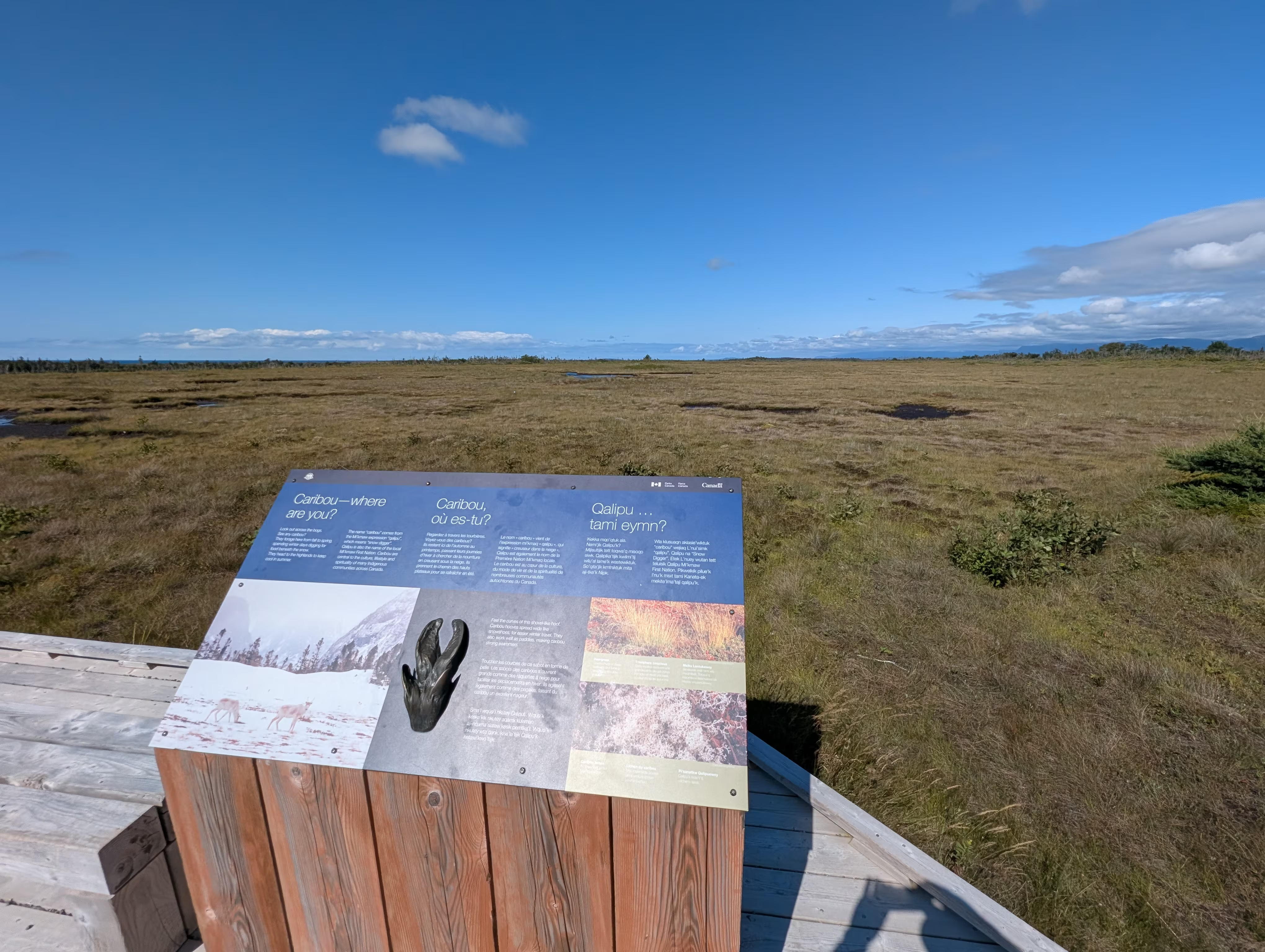
with pockets of spruce thickets:
Western Brook Pond Boat Tour
Here is the boat that took us on the Western Brook Pond Tour:
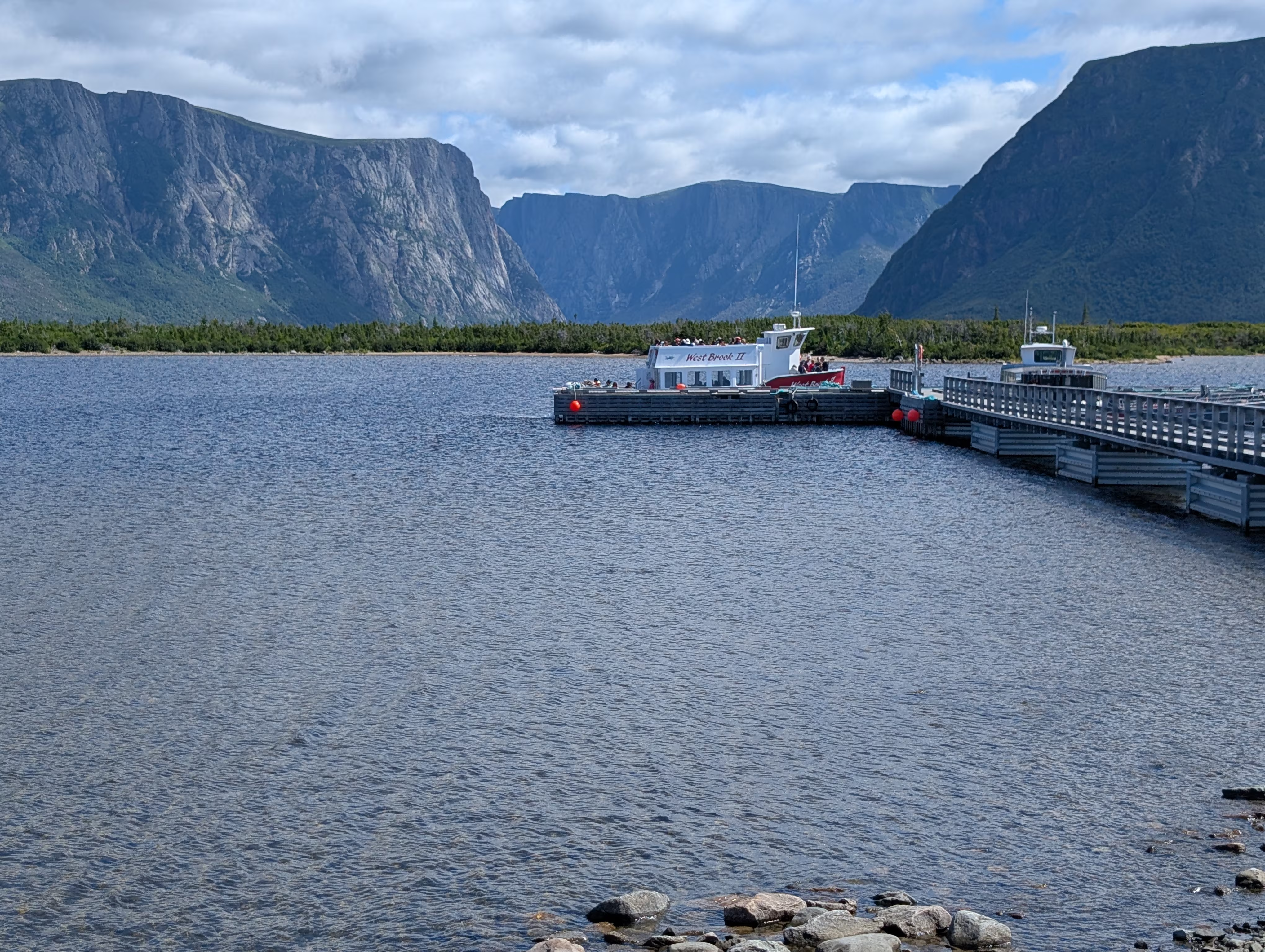
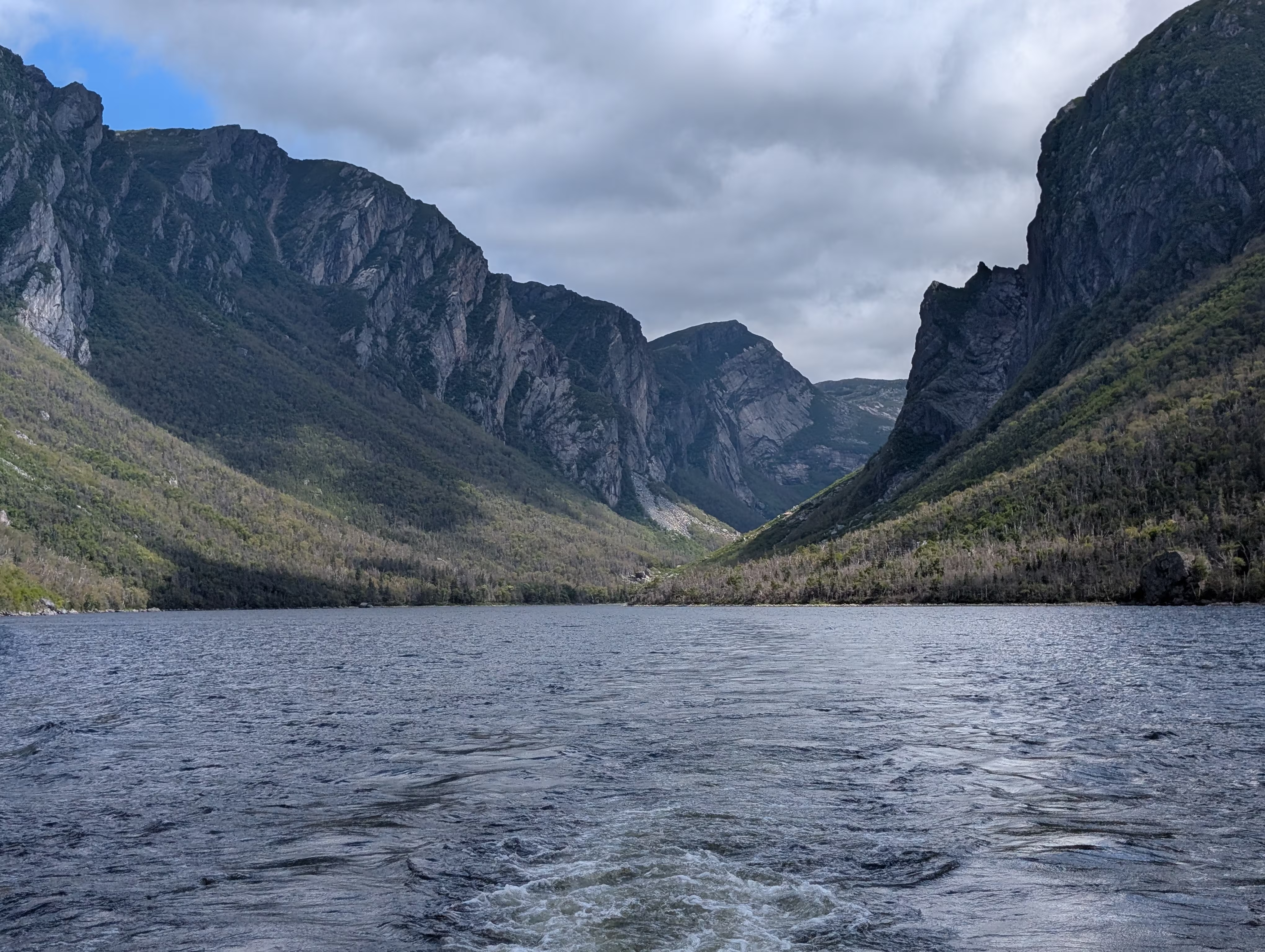
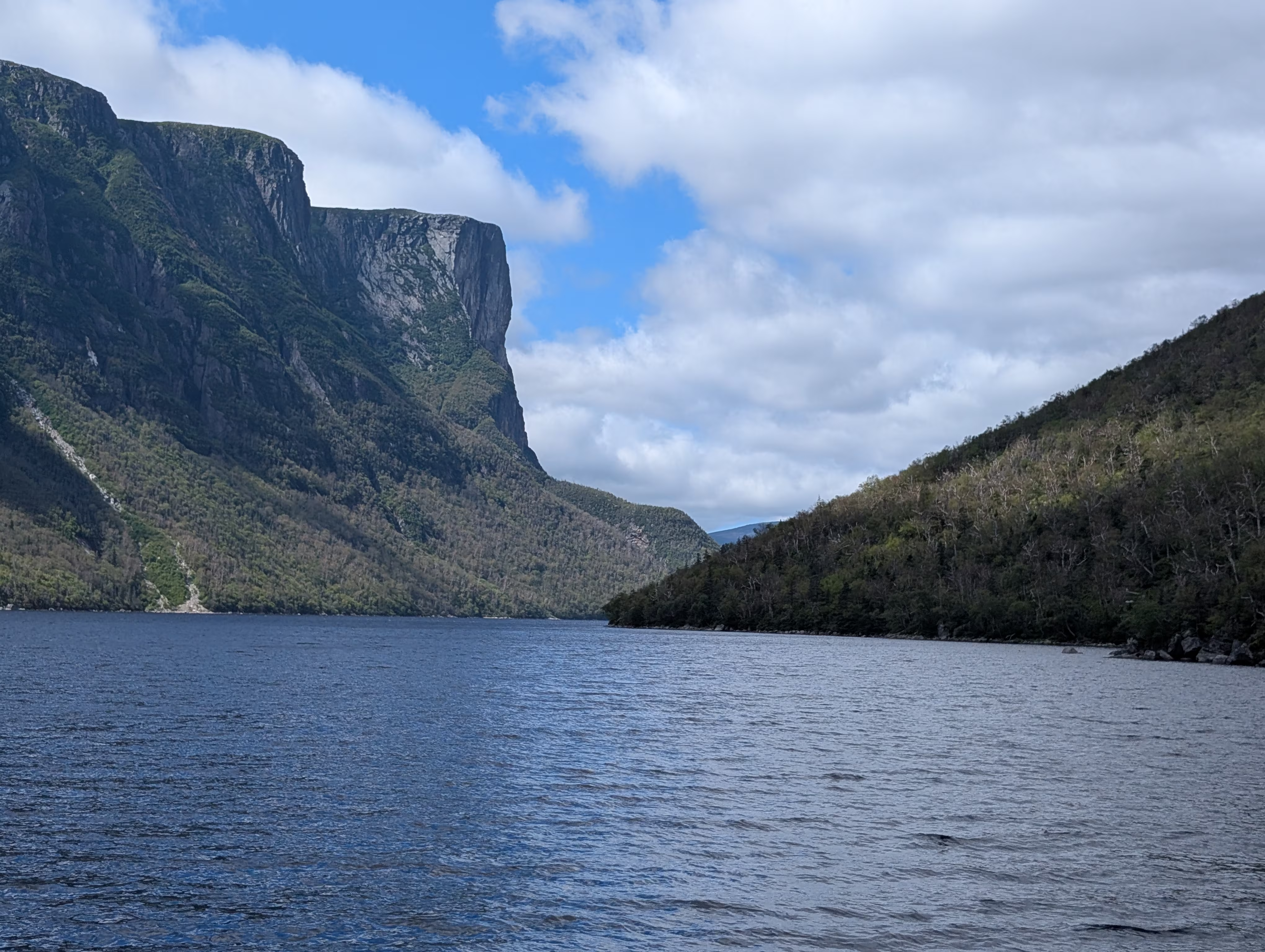
The cliffs you see behind the boat rise up to 600 m abover the water!
All along the fjord were tall crevices (almost chimneys):
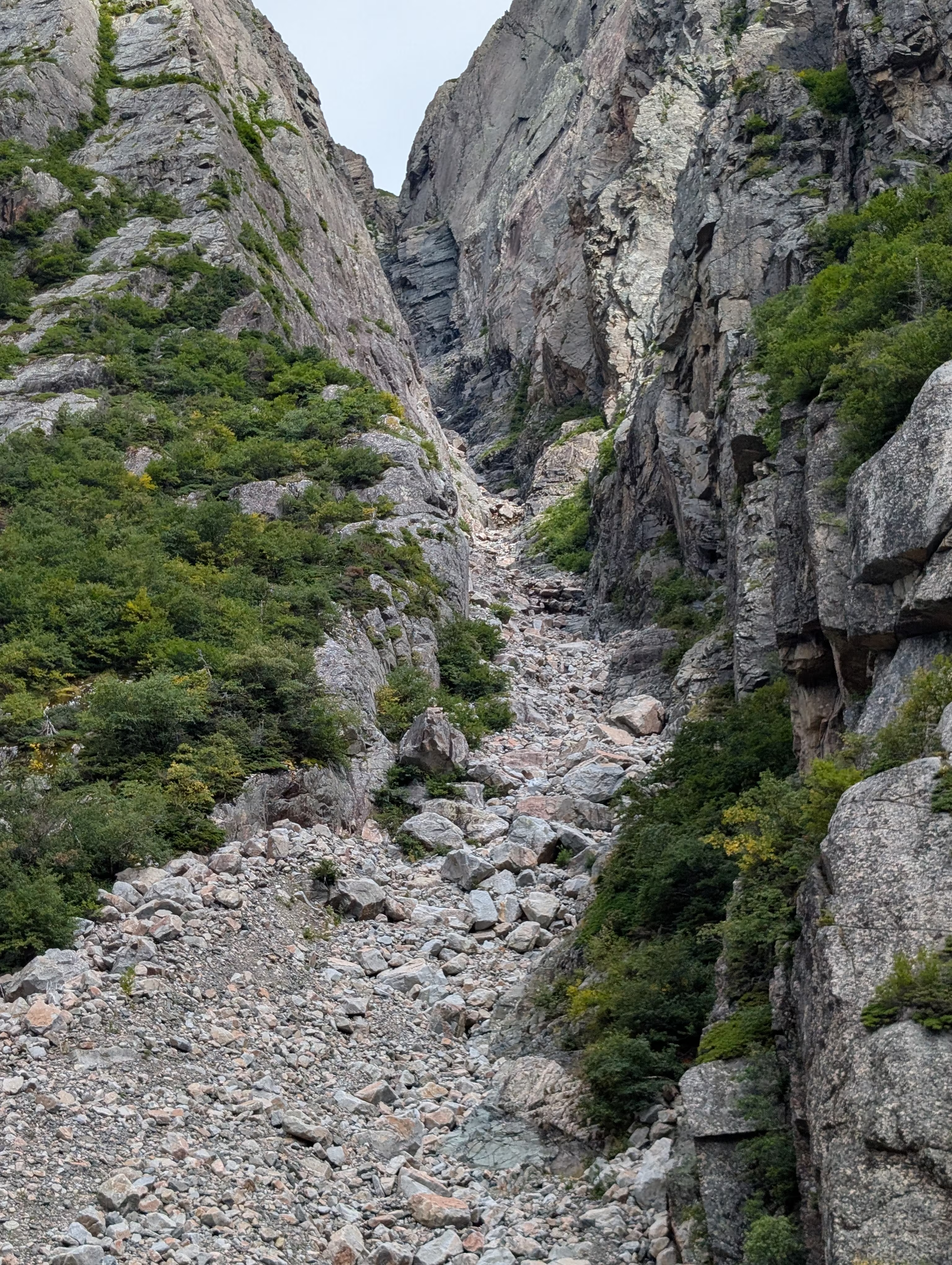
some with waterfalls near:
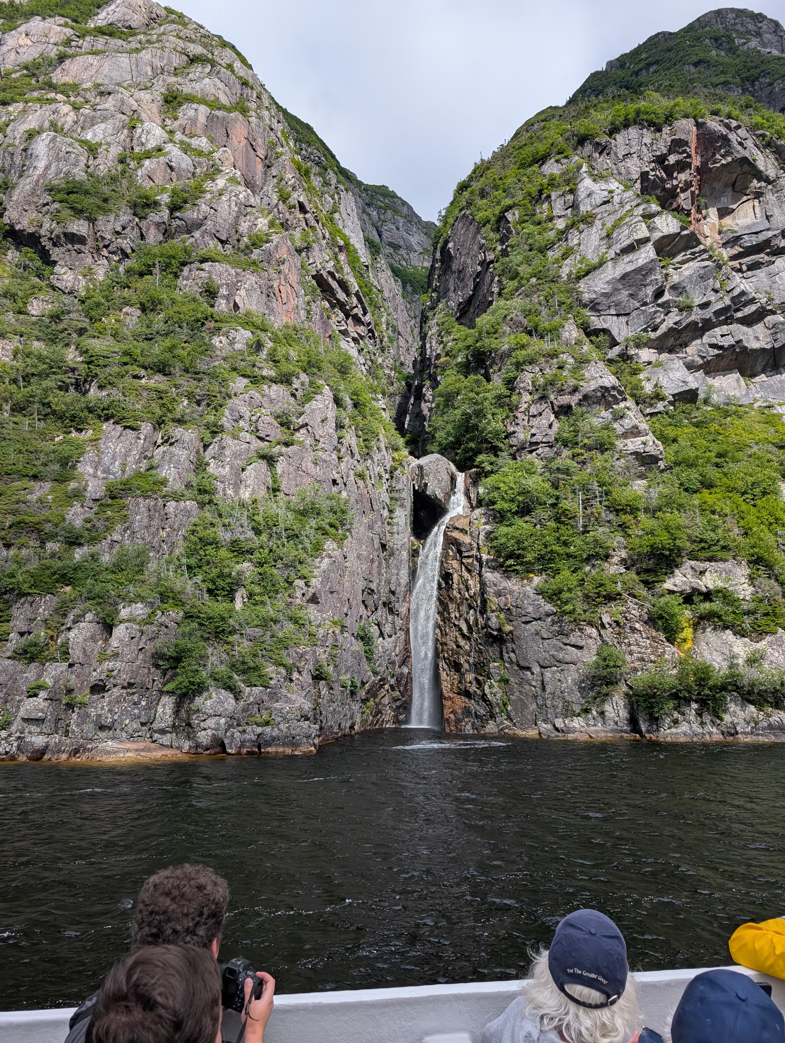
or far:
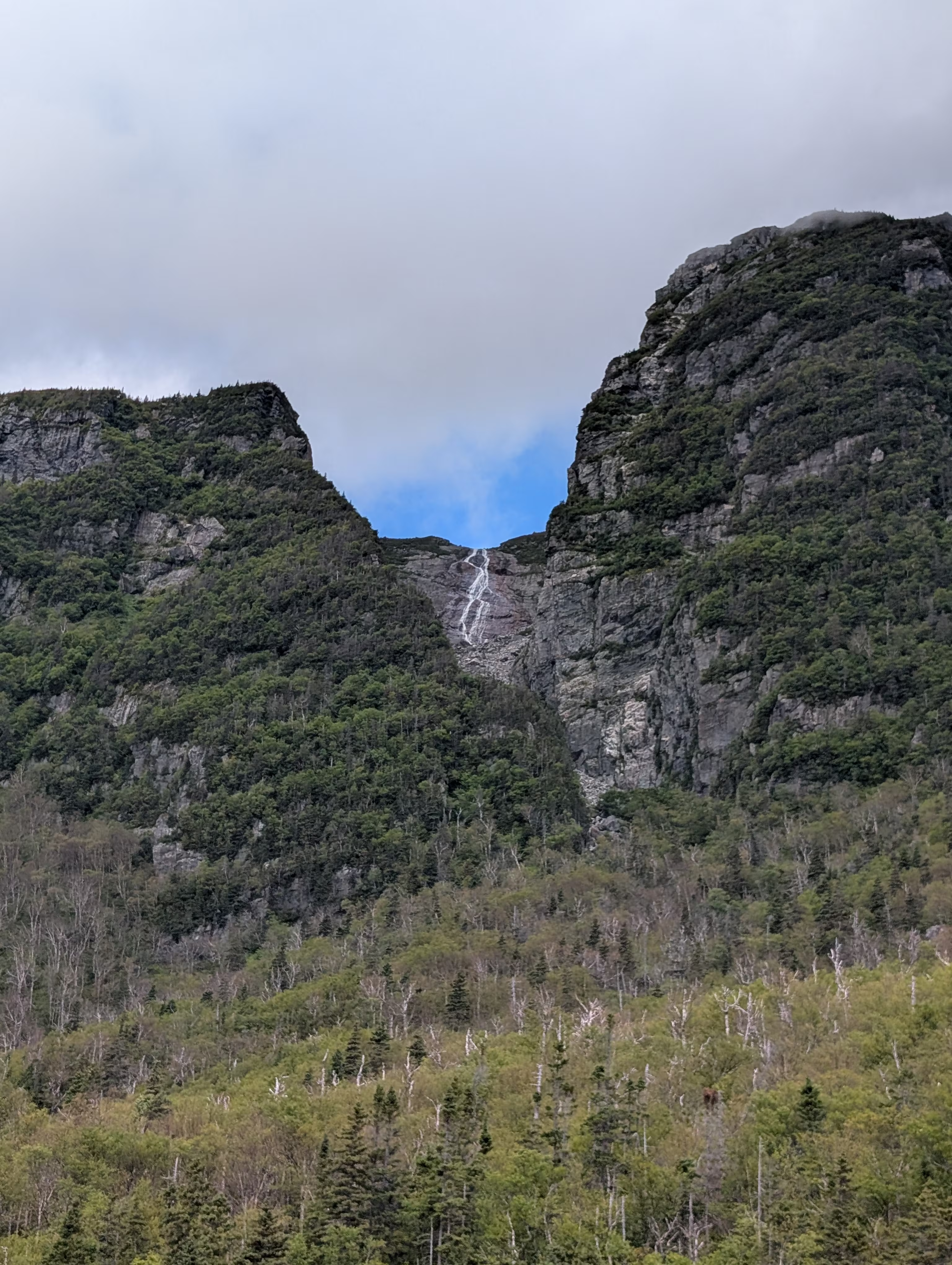
Some places you could see naturally occuring figures in the rocks:
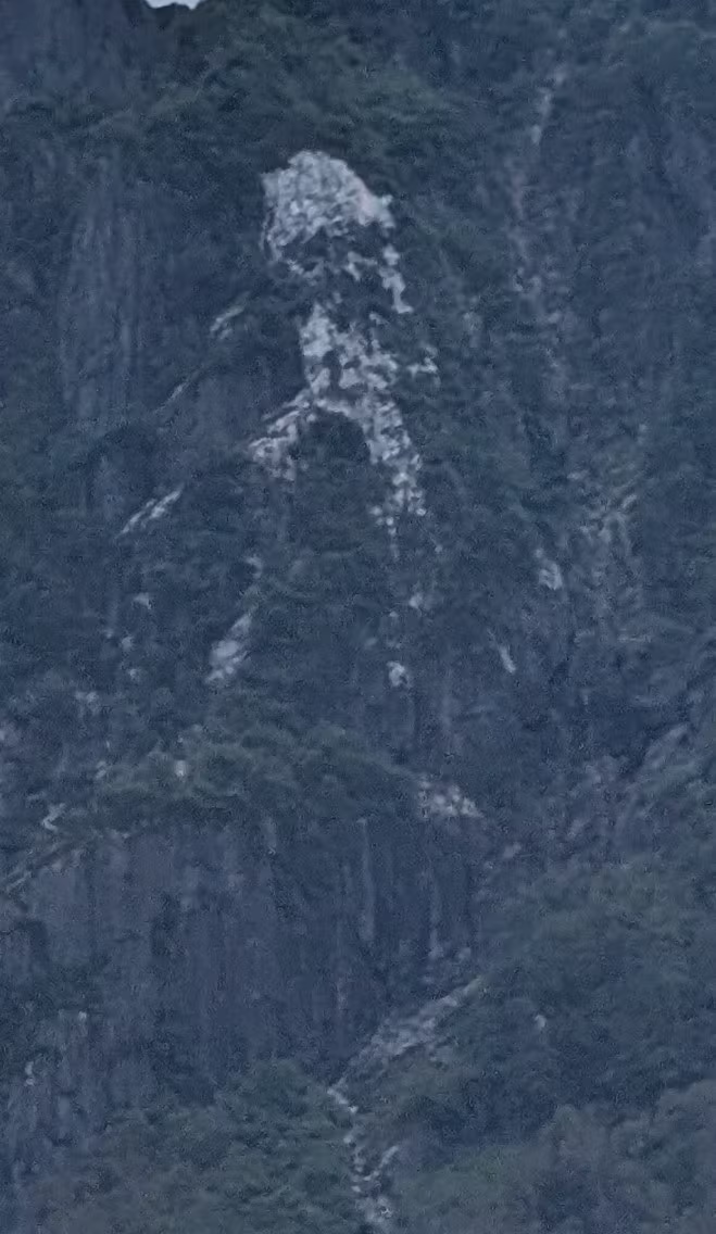
or faces:
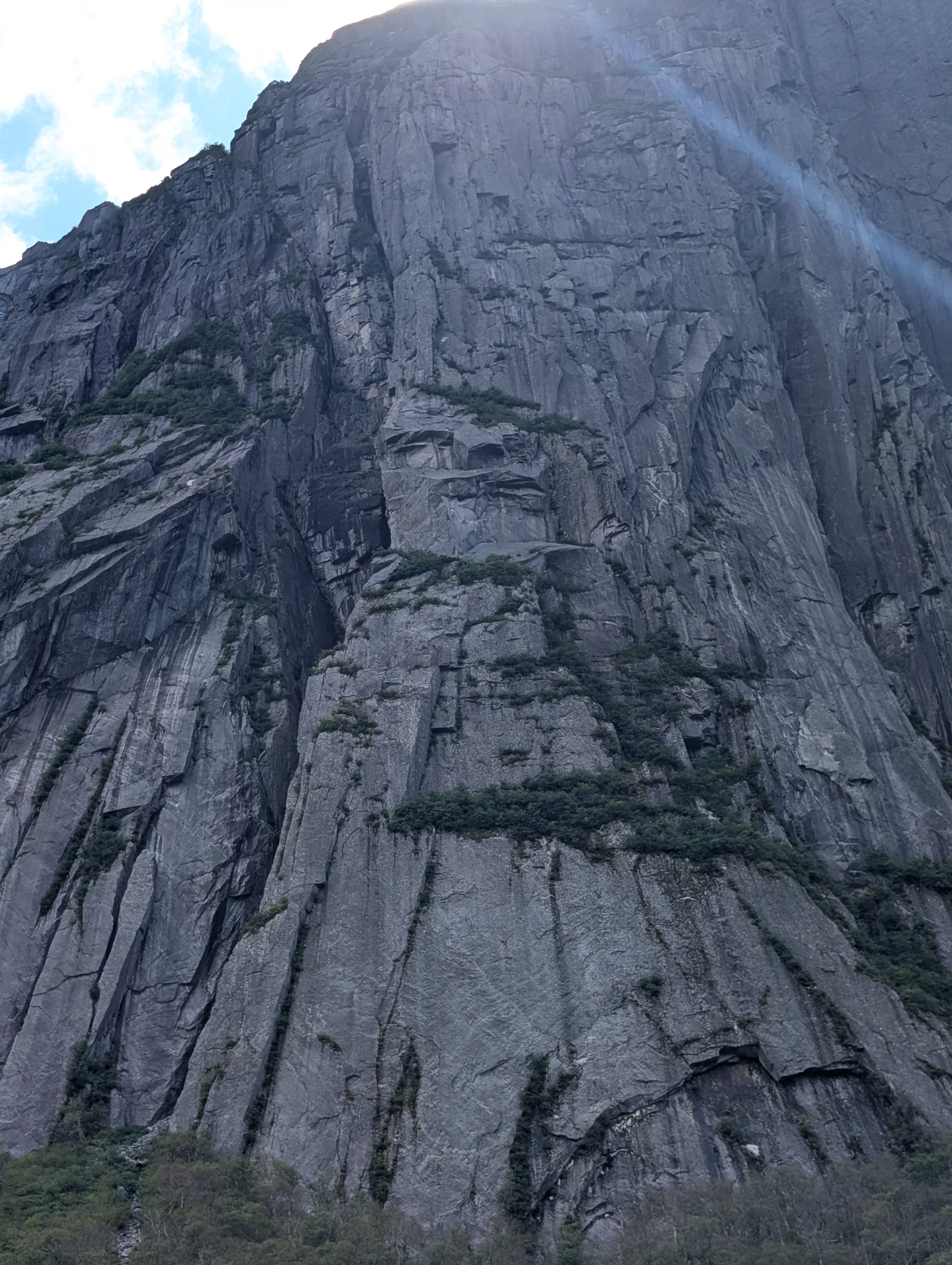
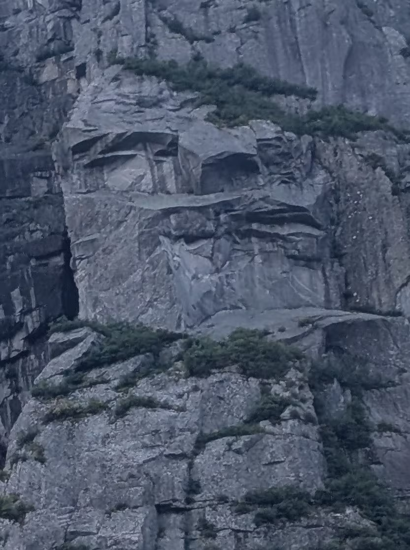
or profies:
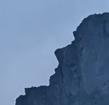
but those should not detract from the natural beauty of the fjord (looking back):
and looking forward:
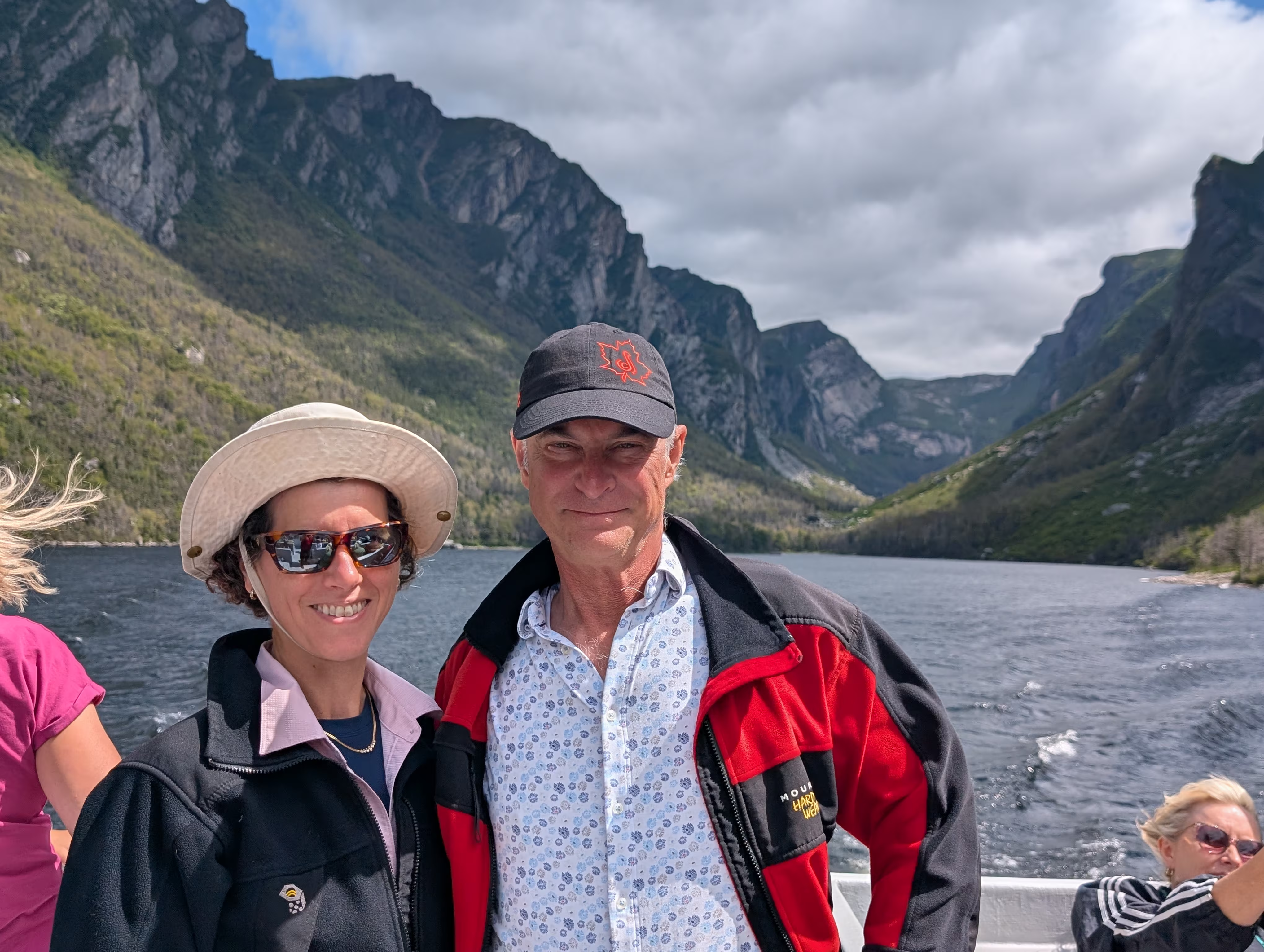
and with us in the picture:
Steve’s Trail
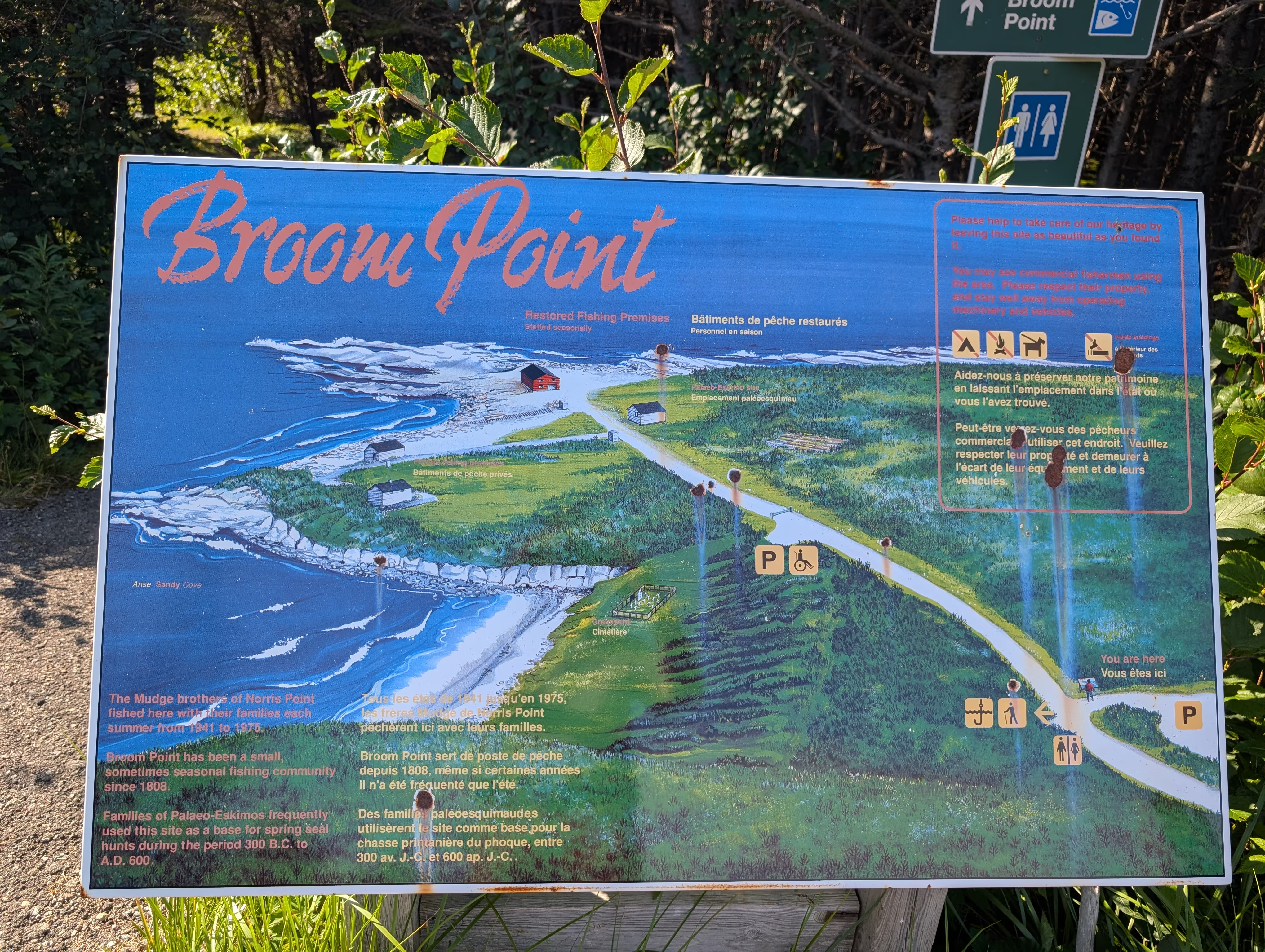
Steve’s Trail is a short trail that takes you from Broom Point Fishing Premises (which we did not visit):
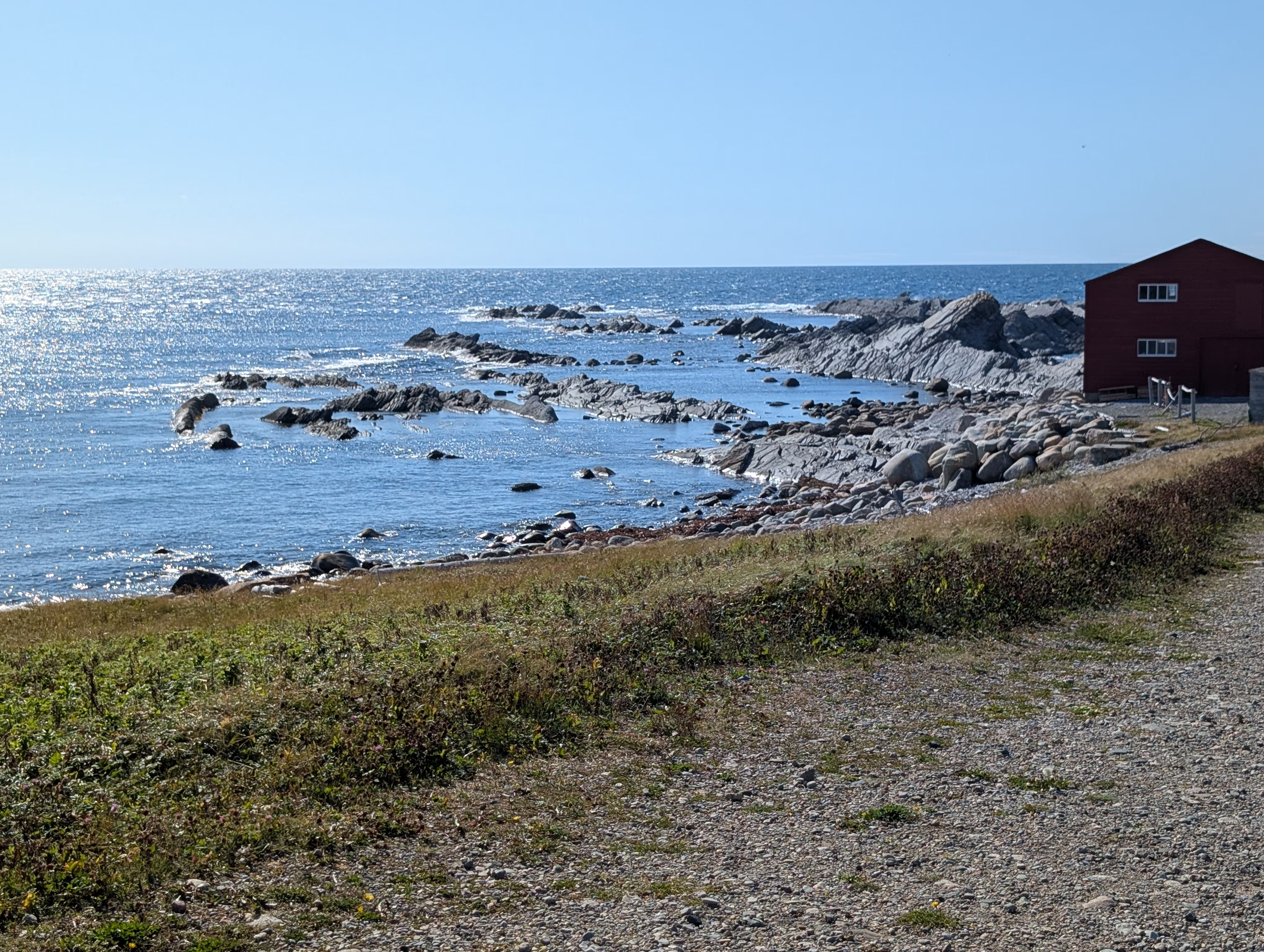
and Henry thinks the coastal rocks look more like a pitchfork than a broom:
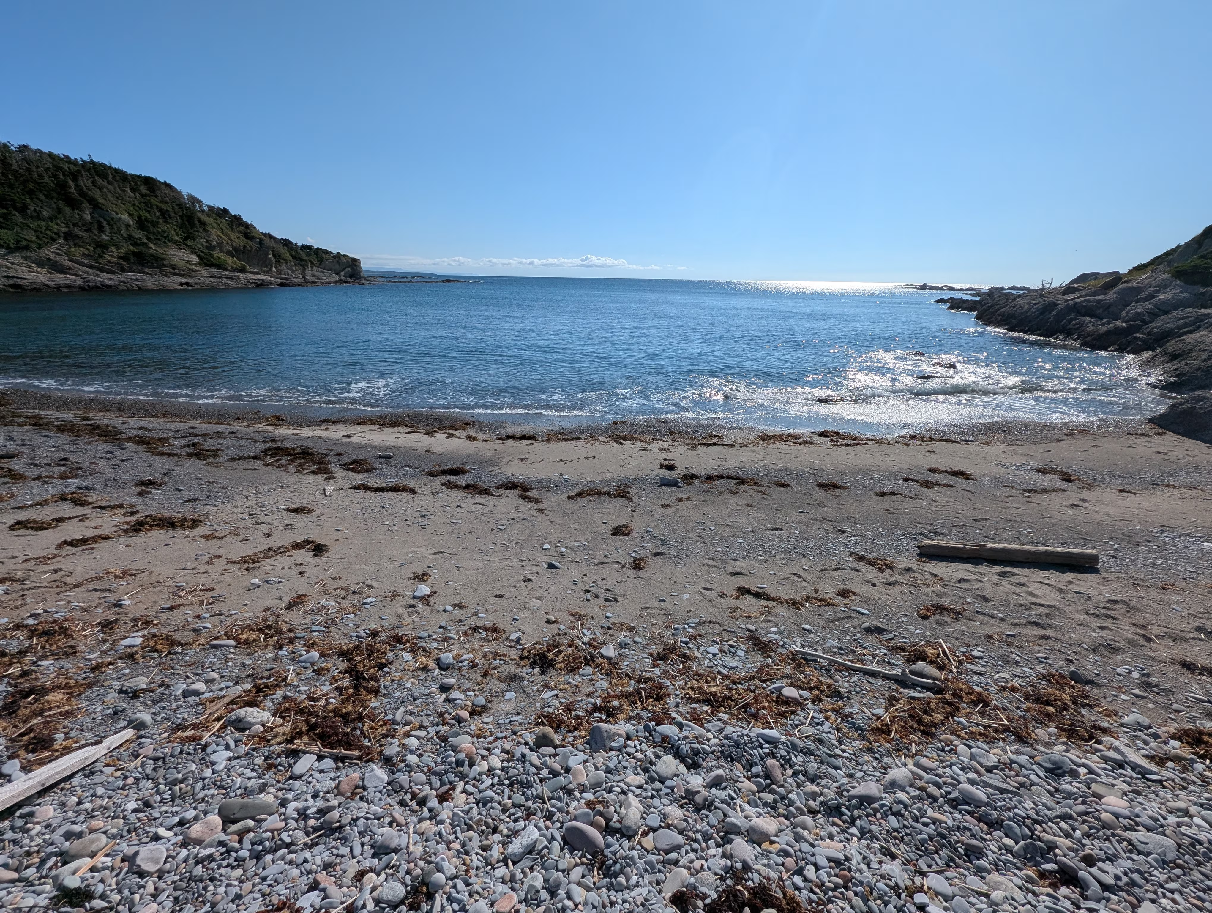
to a nice beach:
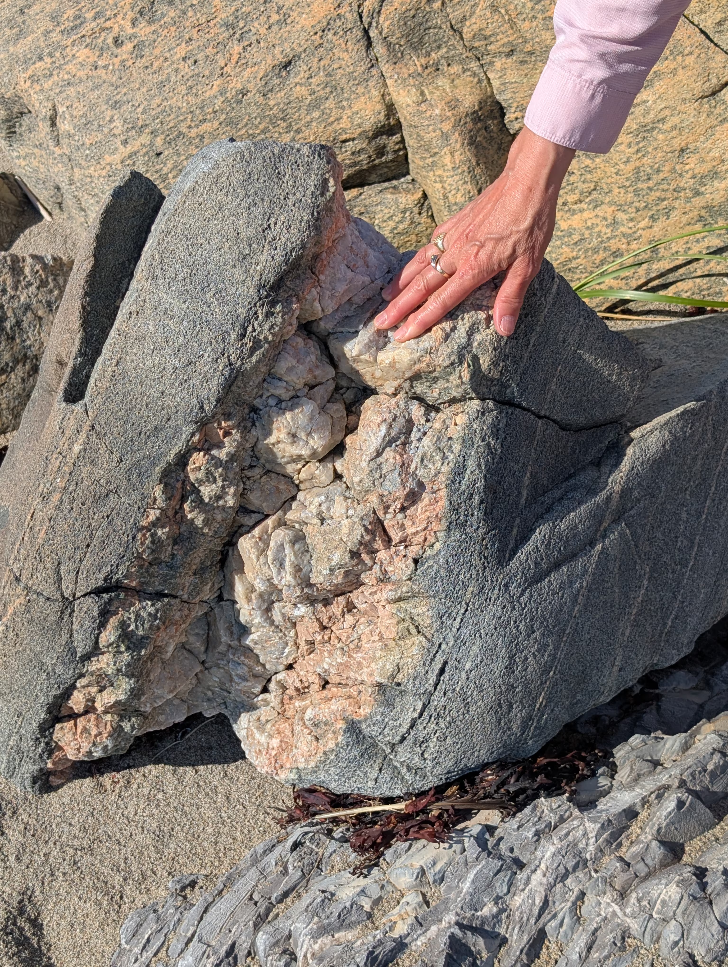
with interesting stones:
to the mouth of the Wester Brook:
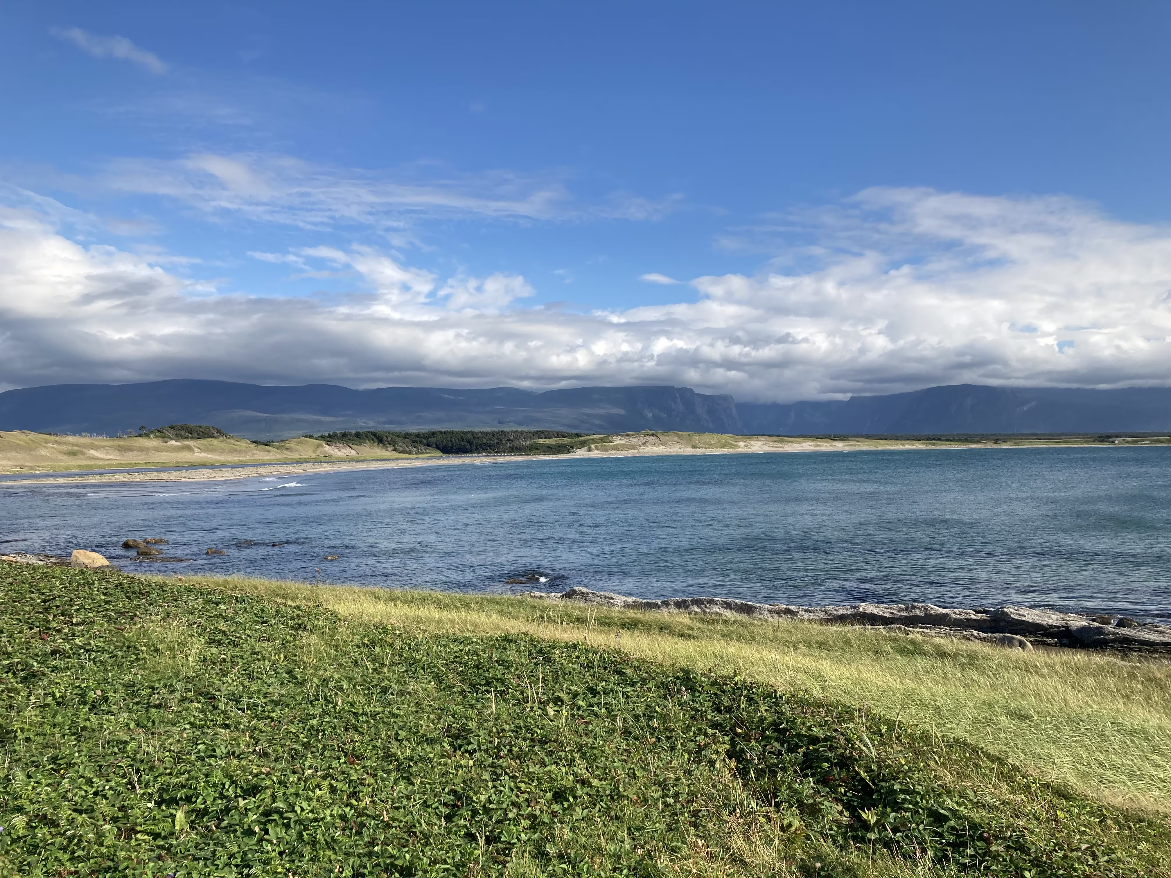
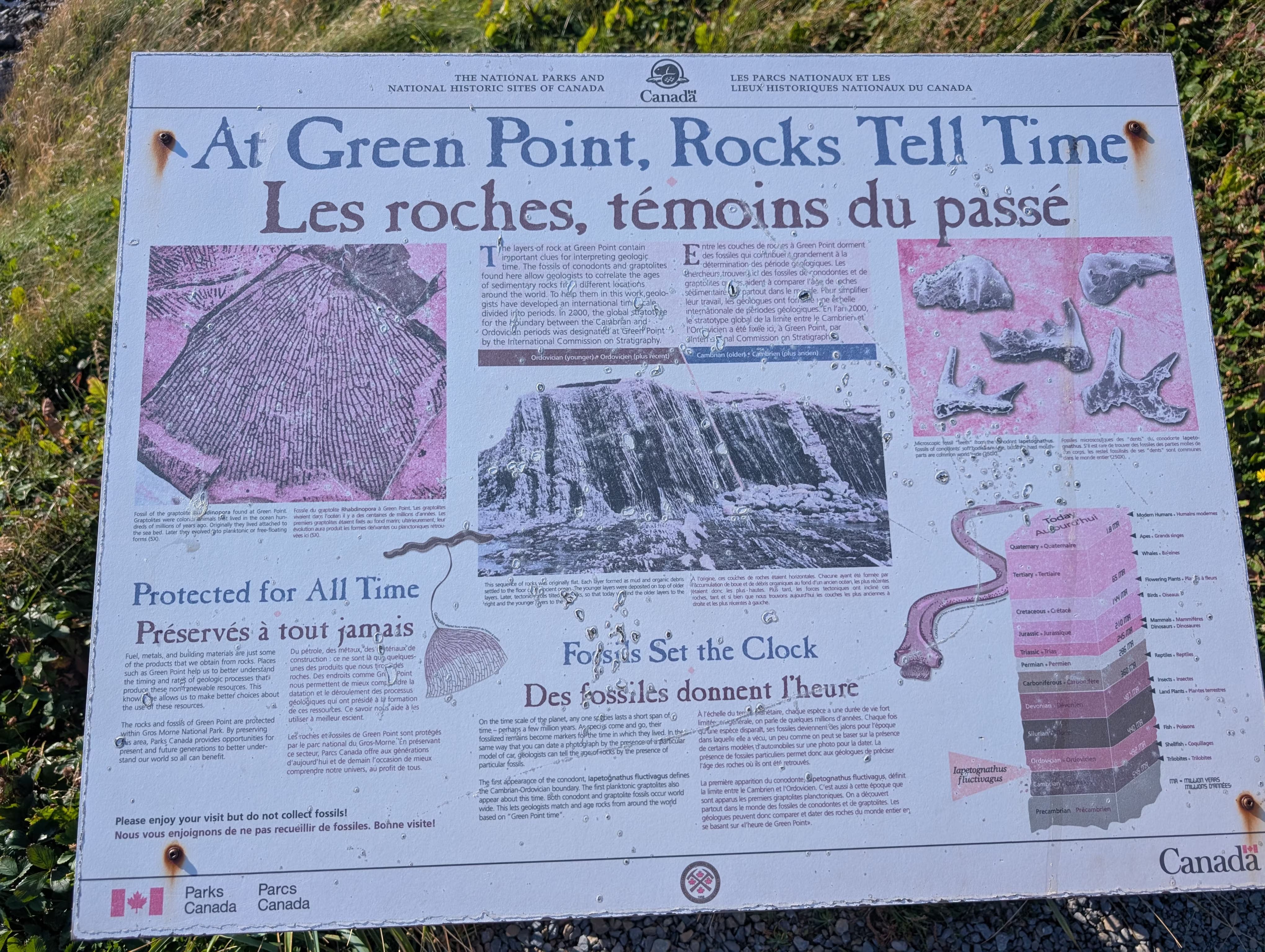
Green Point
The Green Point Geological Site is important because it is where geologists discovered fossils that define the boundary between the Cambrian and Ordovician periods and makes Green Point a world geological benchmark.
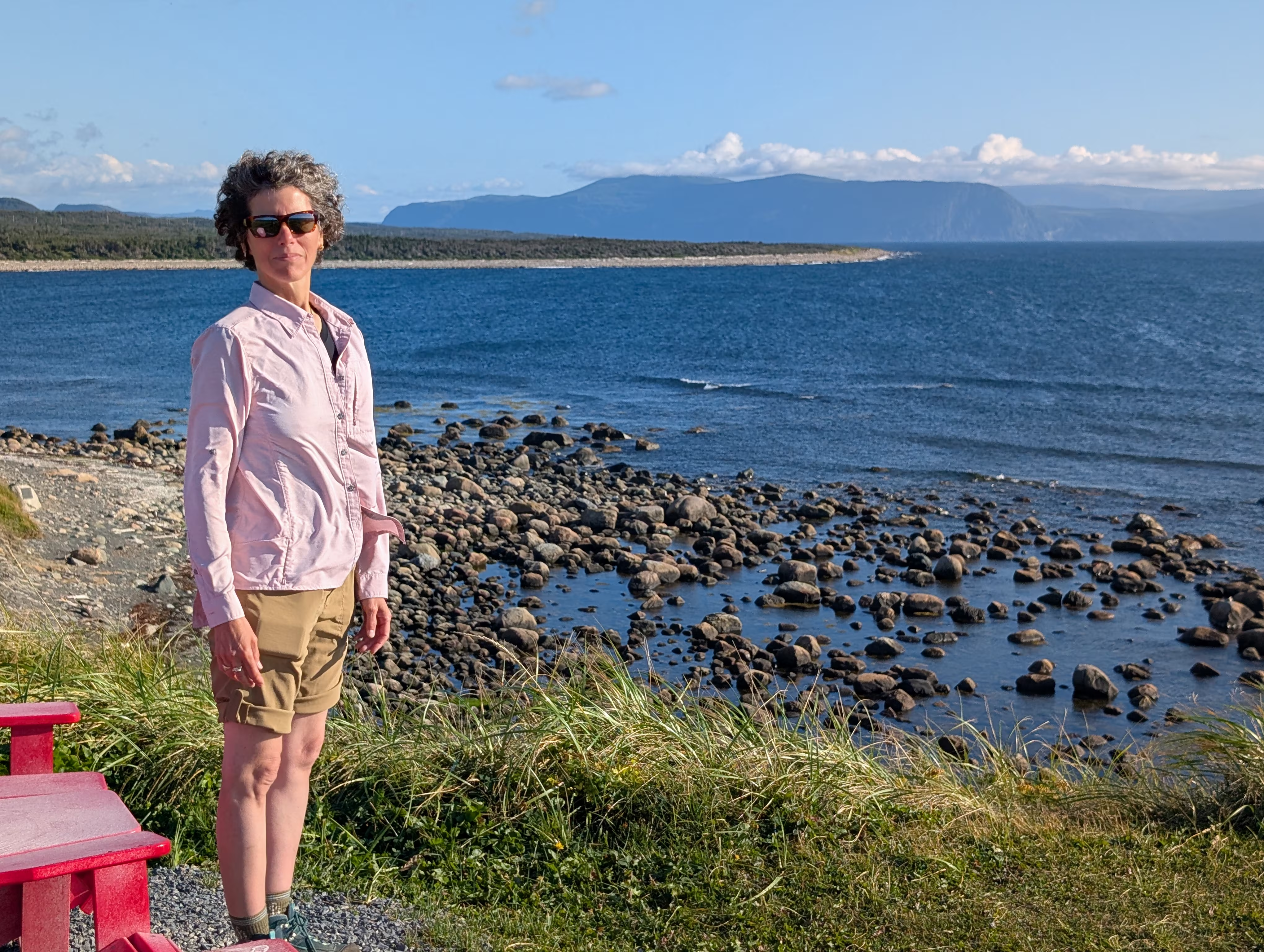
However, we did not know what to look for, so Henry took a picture of Gail looking over the coast:
These were our tracks for Friday, Aug 15
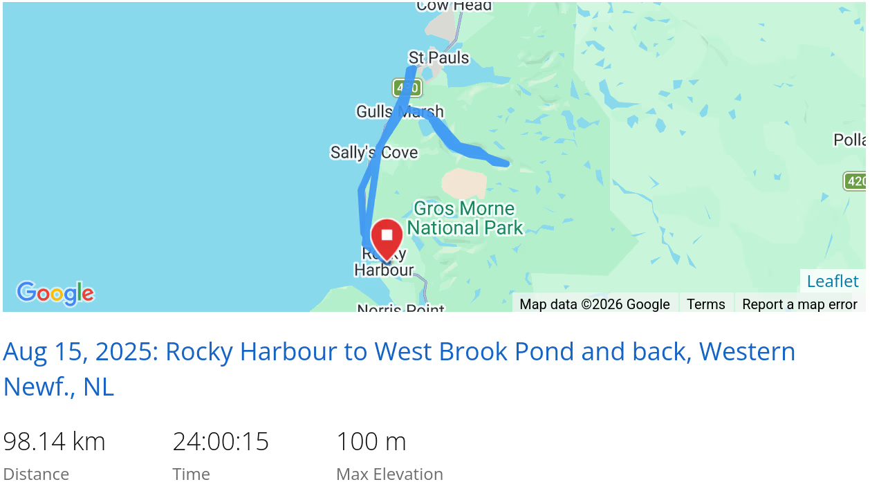 *click on the map for more details
Gros Morne Mountain Approach
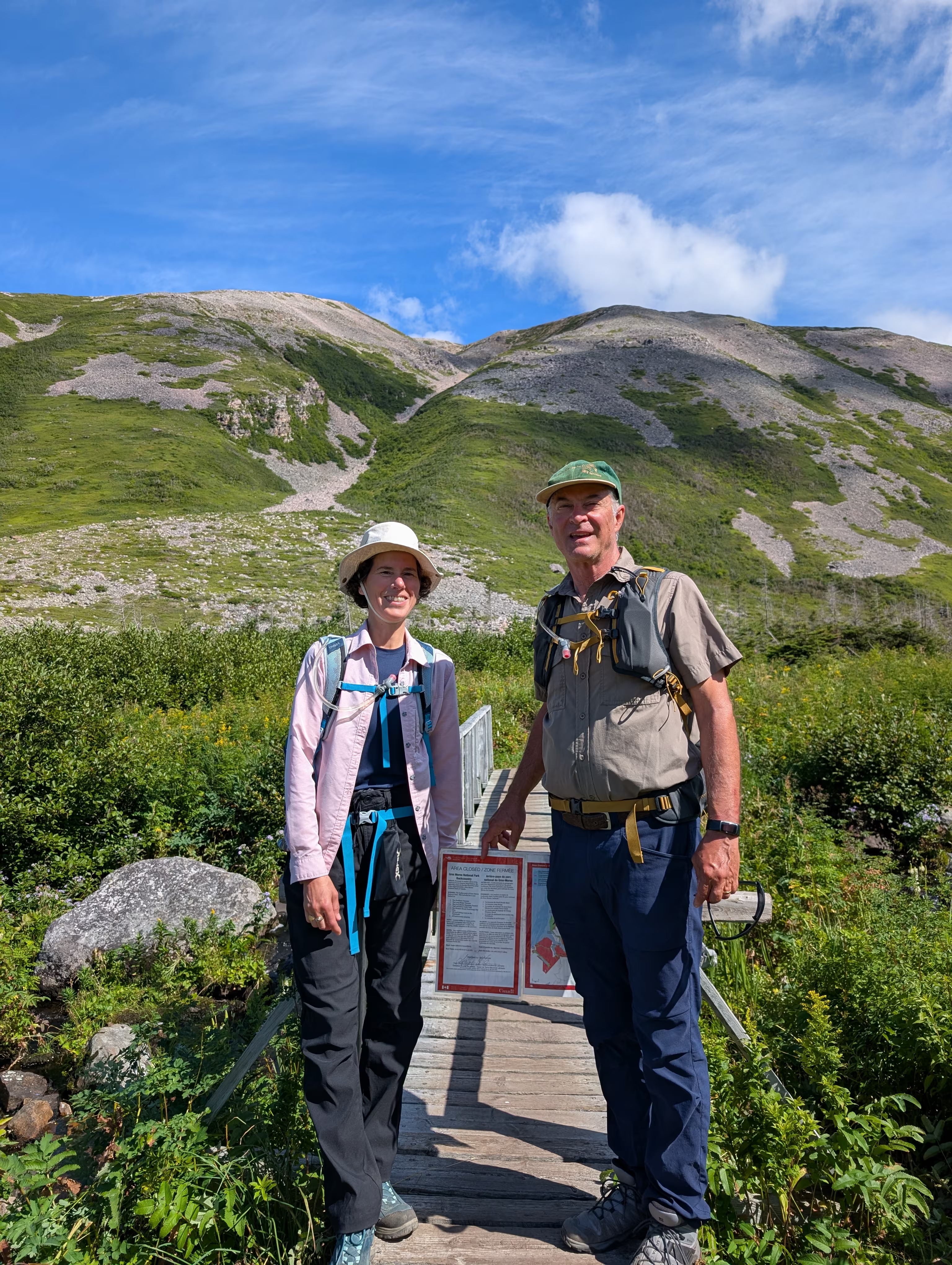
On Saturday, we wanted to hike the iconic 17 km Gros Morne Mountain. However, the challenging and spectacular Summit Loop was closed because there would be no body to rescue you if you got into trouble, because all of the rescuers were off fighing forest fires, as discusesed in the sign to which we are pointing:
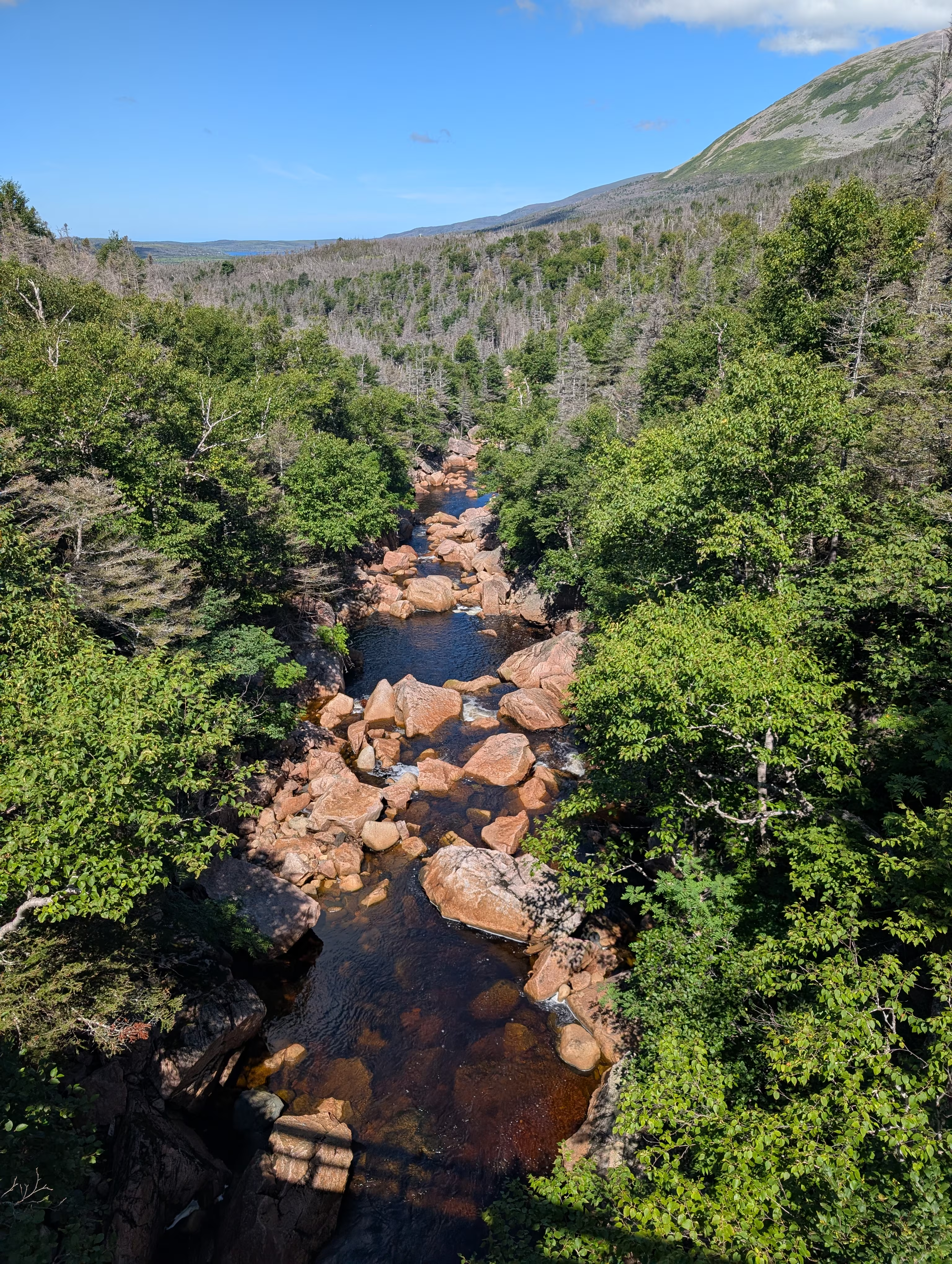
We had to be satisfied with the Approach Hike which had interesting streams:
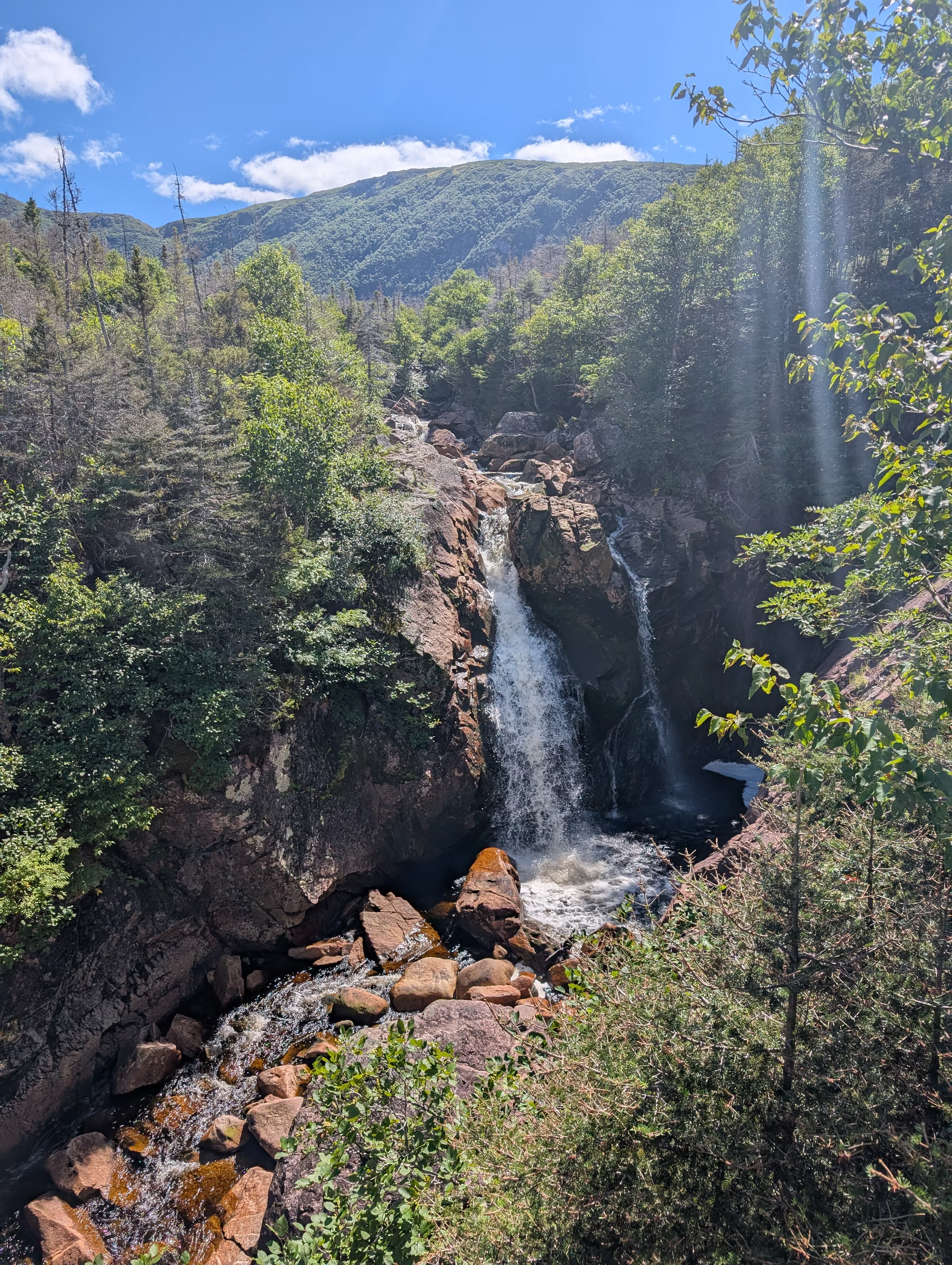
and pretty waterfalls:
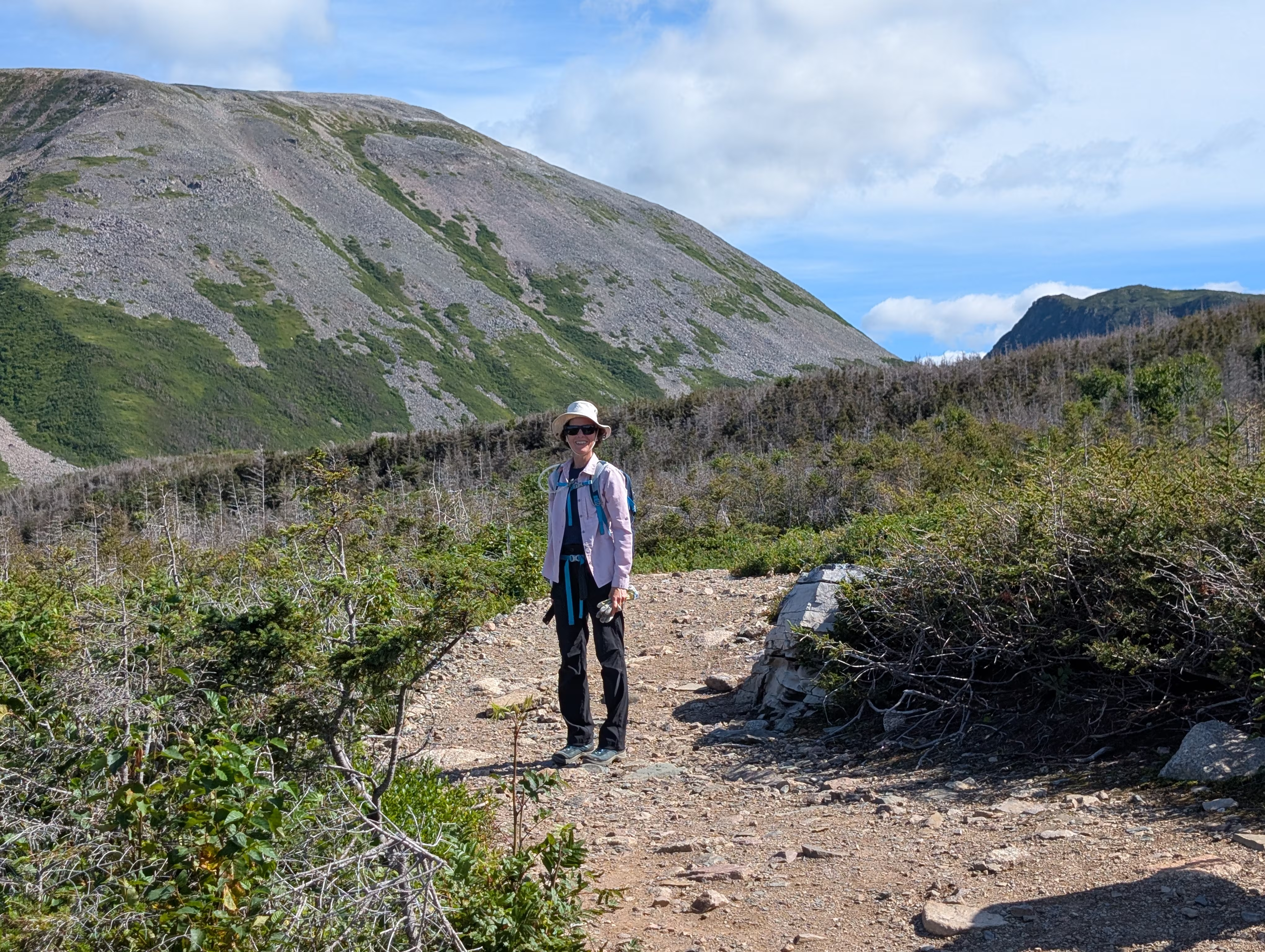
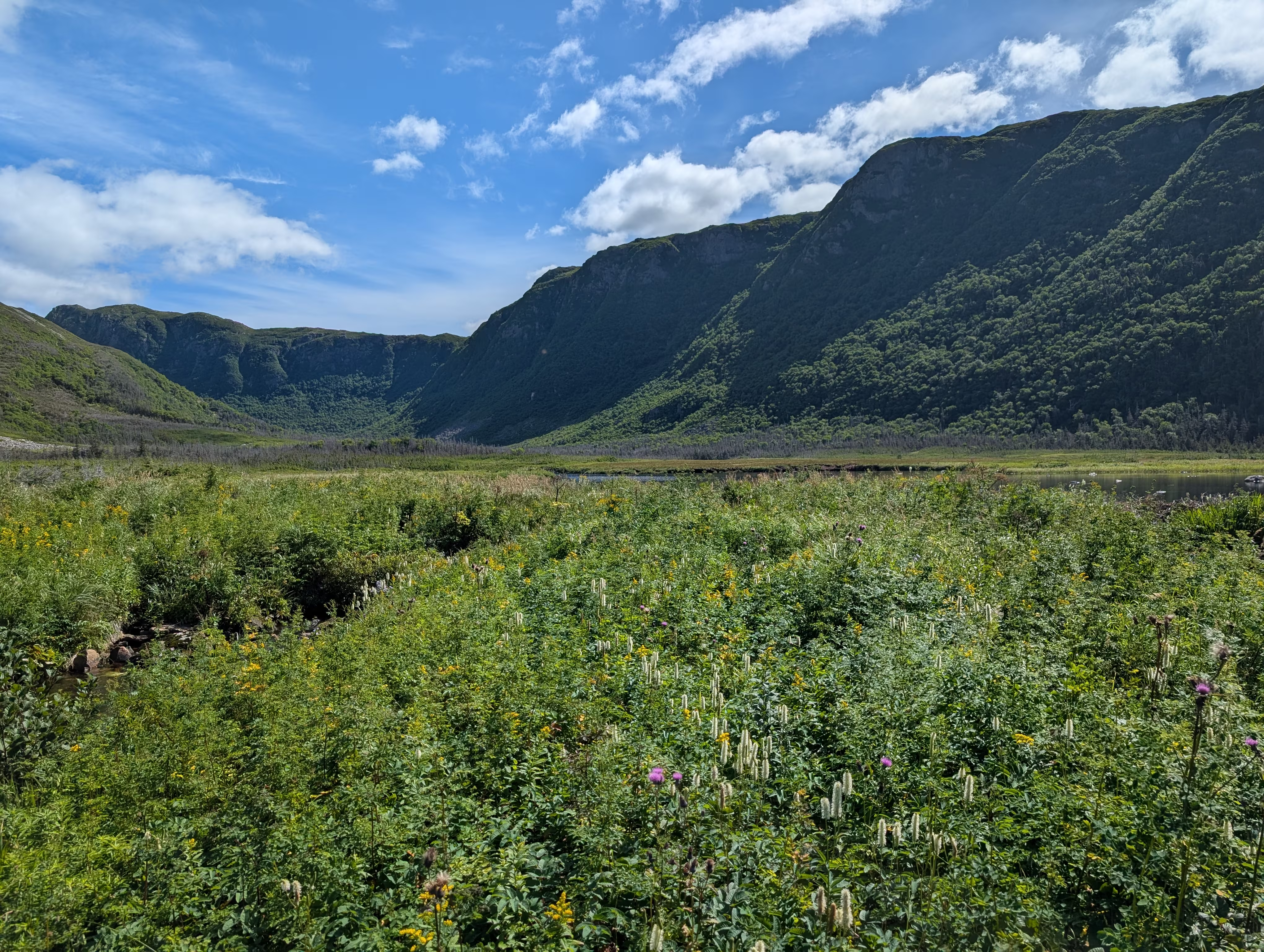
We got a little closer view of the mountain:
as well as the area next to it:
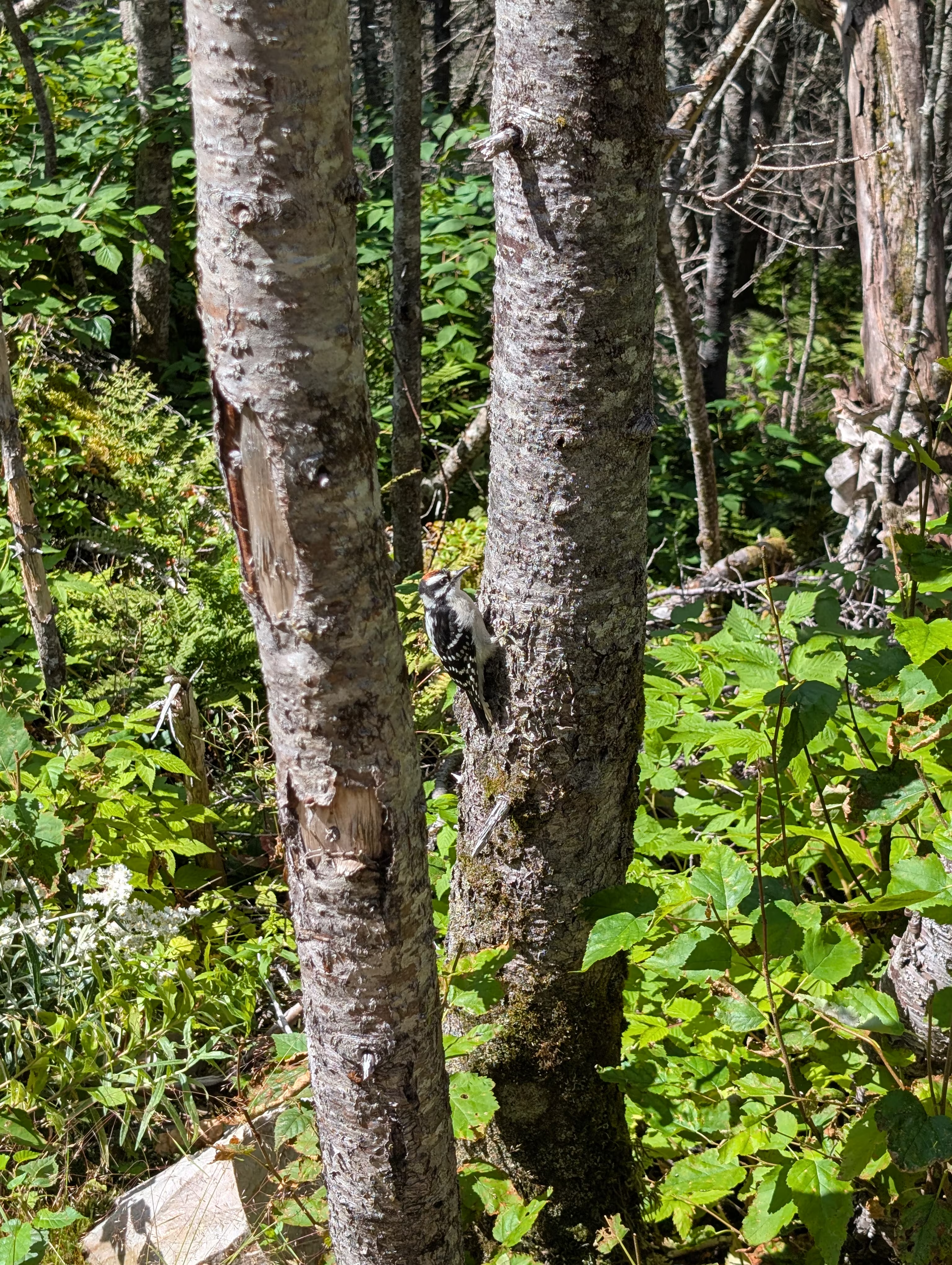
And then there was the wildlife, including this woodpecker:
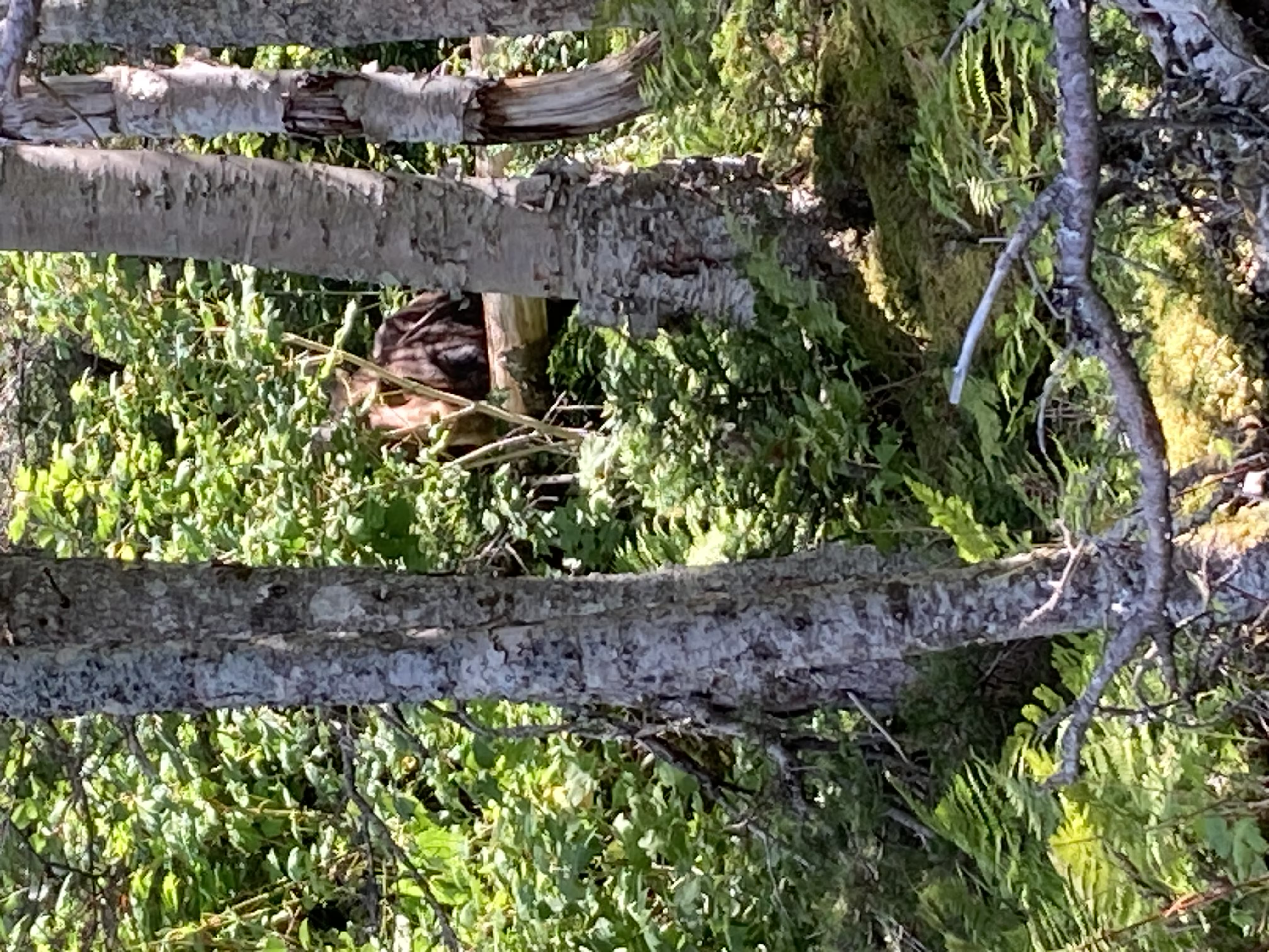
and our second moose, who had a calf hiding behind her:
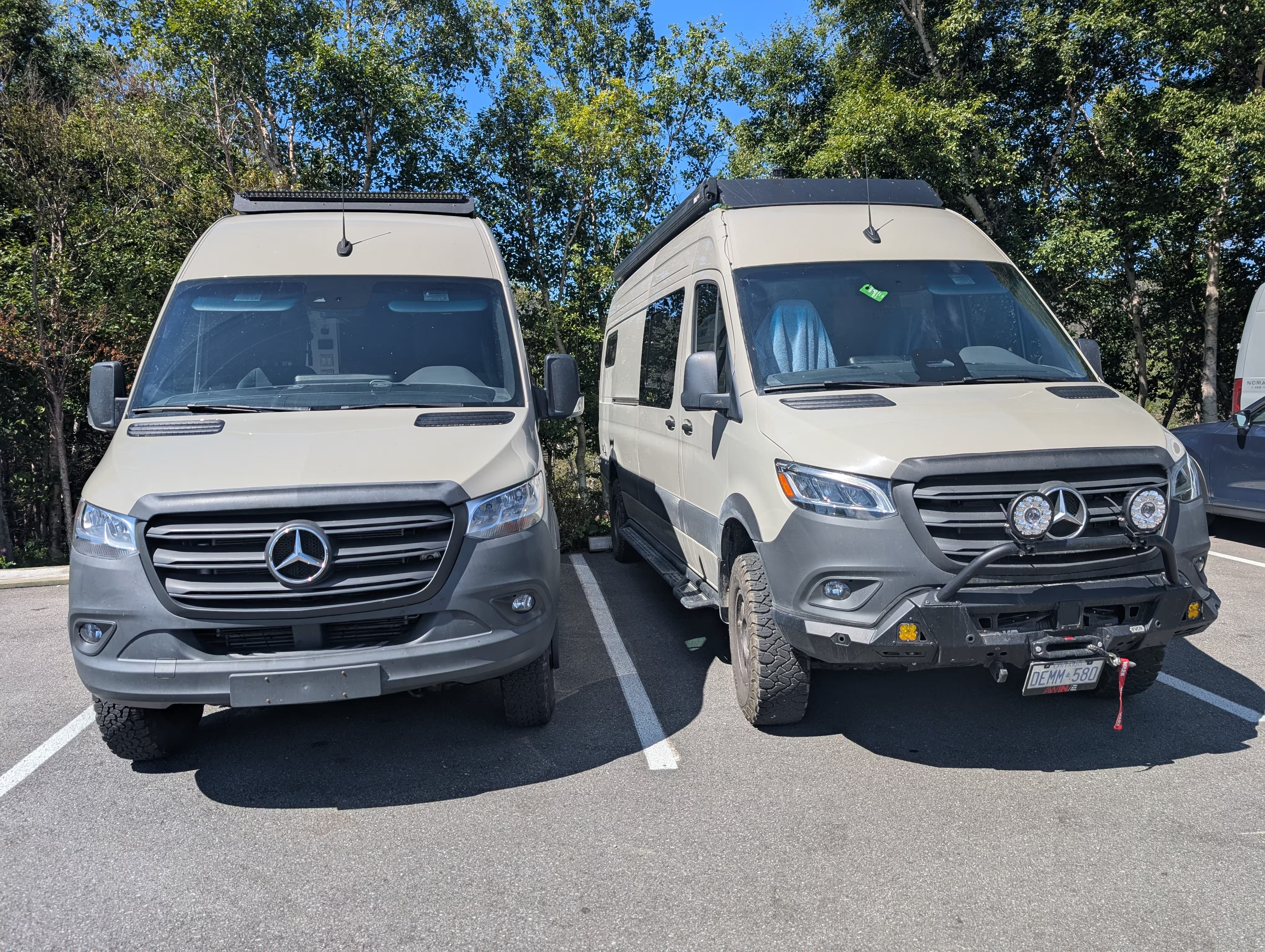
On the return to the parking lot, we found that our little sister had parked right next to her (we never saw the owners):
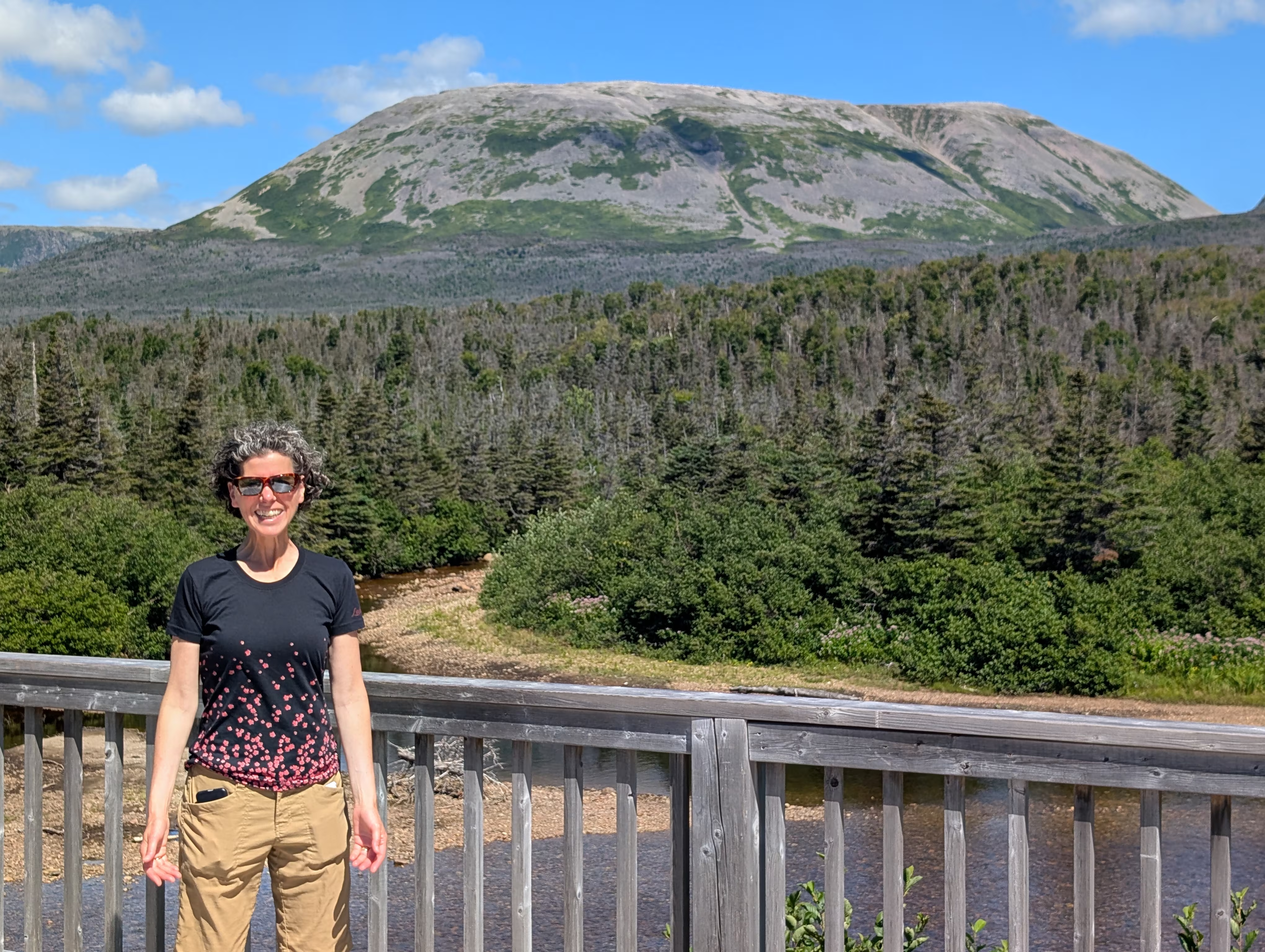
and took one last look at Gros Morne:
Southeast Brook Falls
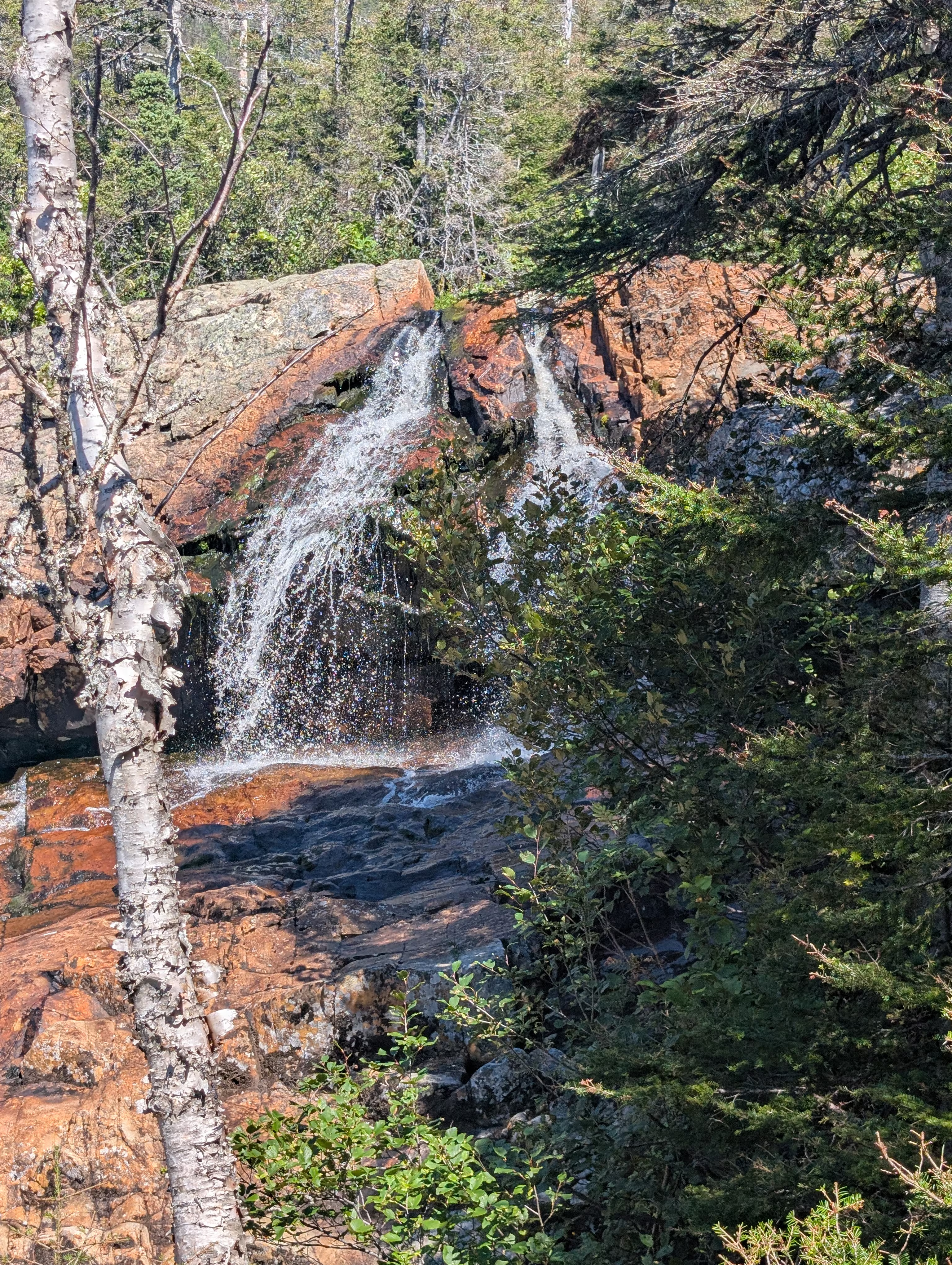
Before we left Gros Morne, we stopped for lunch and the short Southeast Brook Falls Trail which had a pretty falls:
These were our tracks for Saturday, Aug 16
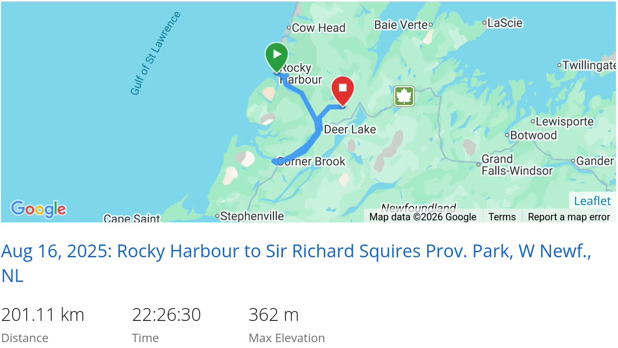 *click on the map for more details
That’s it for Gros Morne National Park
If we had more time, we would have:
- Taken a tour of the Green Point Geological Site
- Hiked the Green Gardens
We also would like to hike the the Gros Morne Mountain Summit Loop which was closed when we were there.
Next we are off to Central Newfoundland/Fogo Island.
In case you had missed it, we came from Port au Choix.
When we are travelling, our current location is always available and updated every 10 minutes