Central Newfoundland/Fogo Island - 850 km - 7 days
August 17th to 23th were spent in Central Newfoundland/Fogo Island.
Sir Richard Squires
Sunday morning we took a short hike to Big Falls in Sir Richard Squires Memorial Provincial Park where we had spent the night:
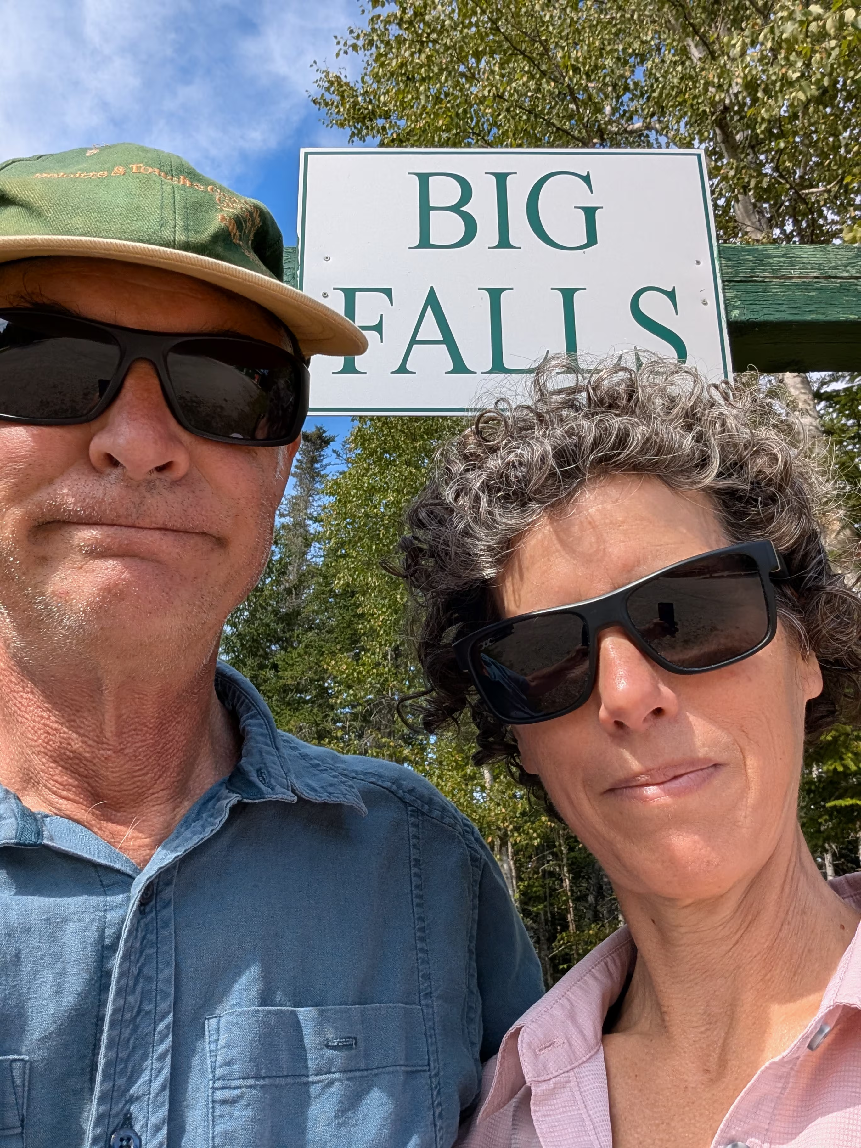
These are not the falls:
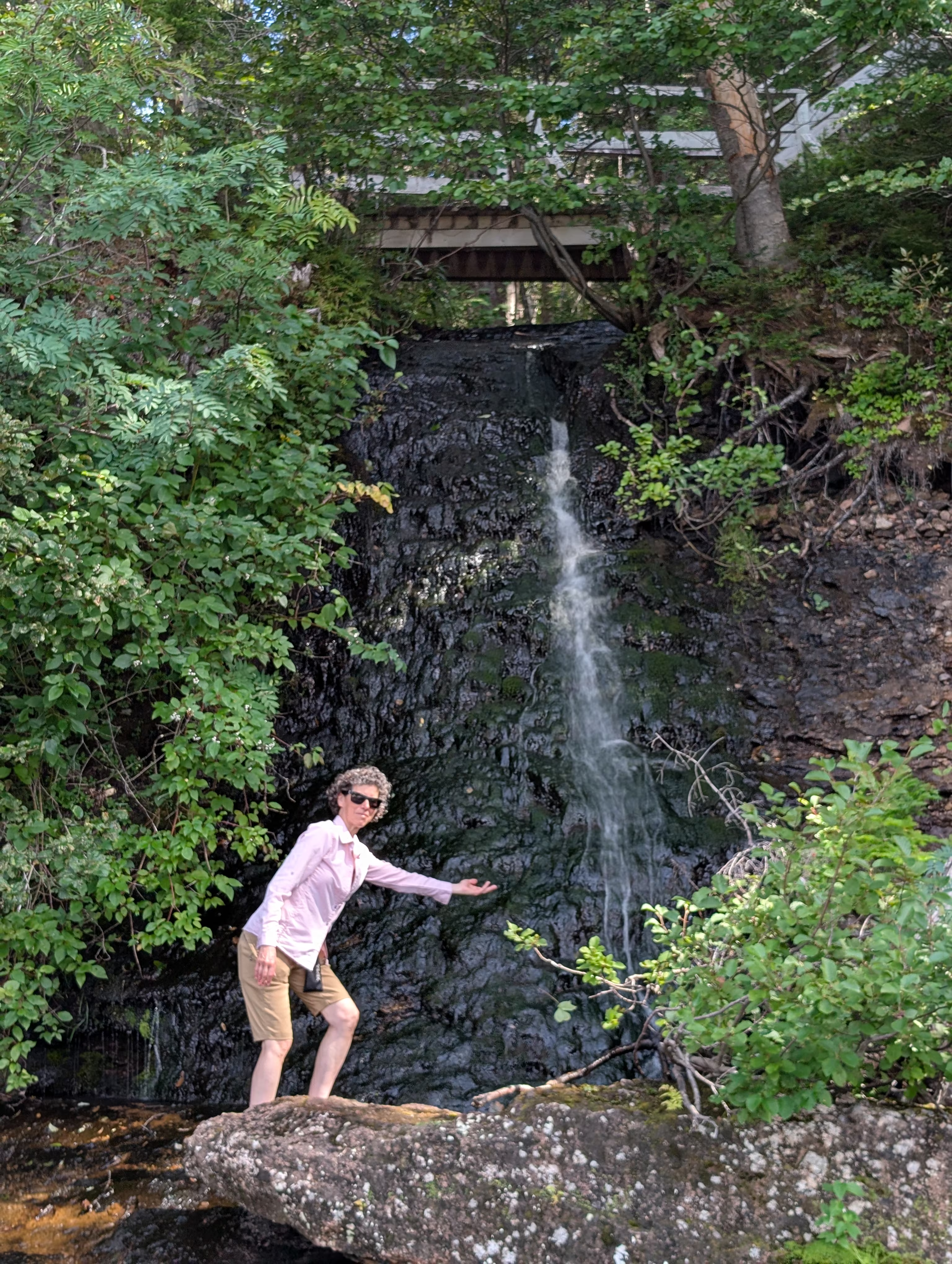
These are:
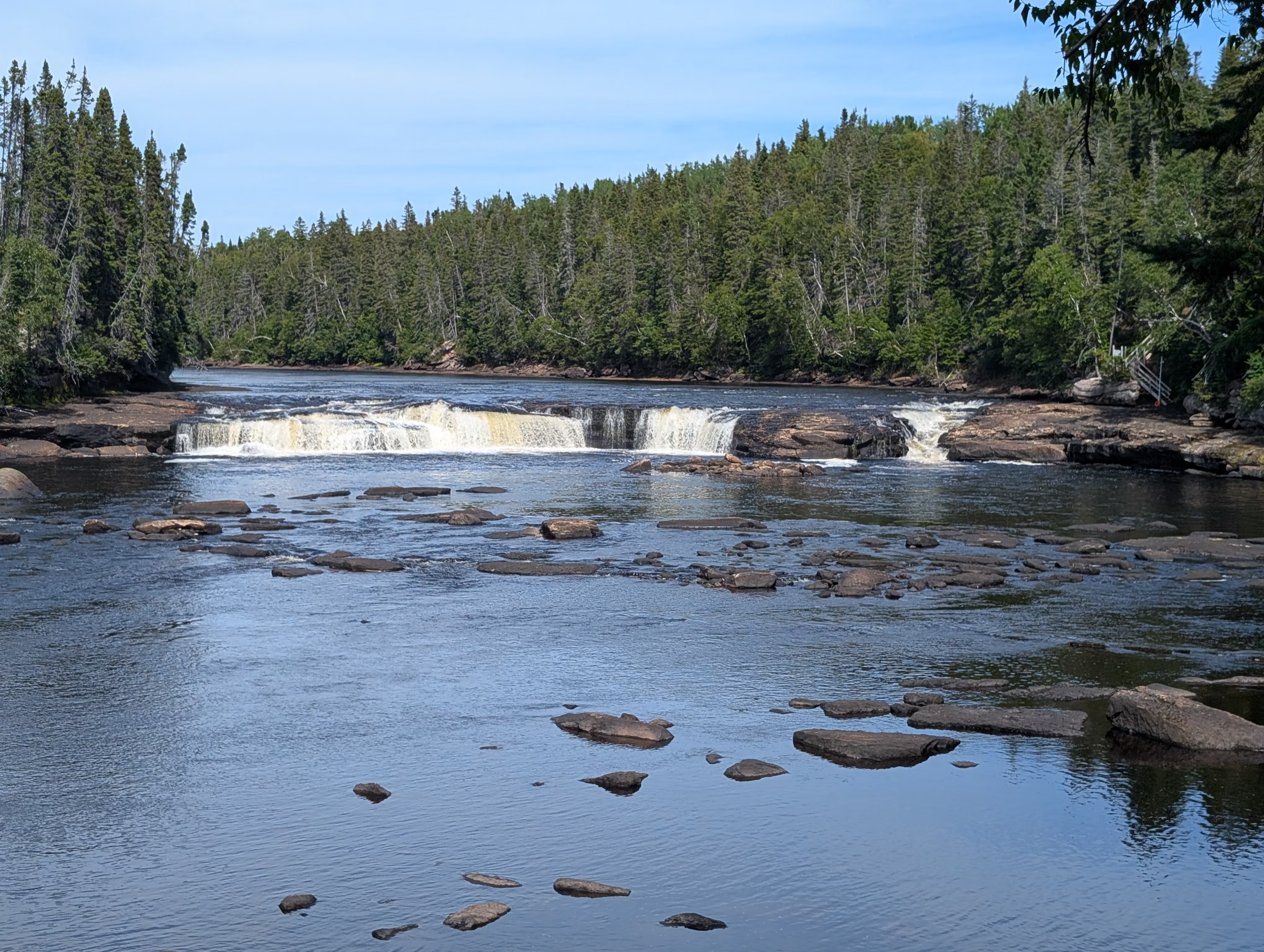
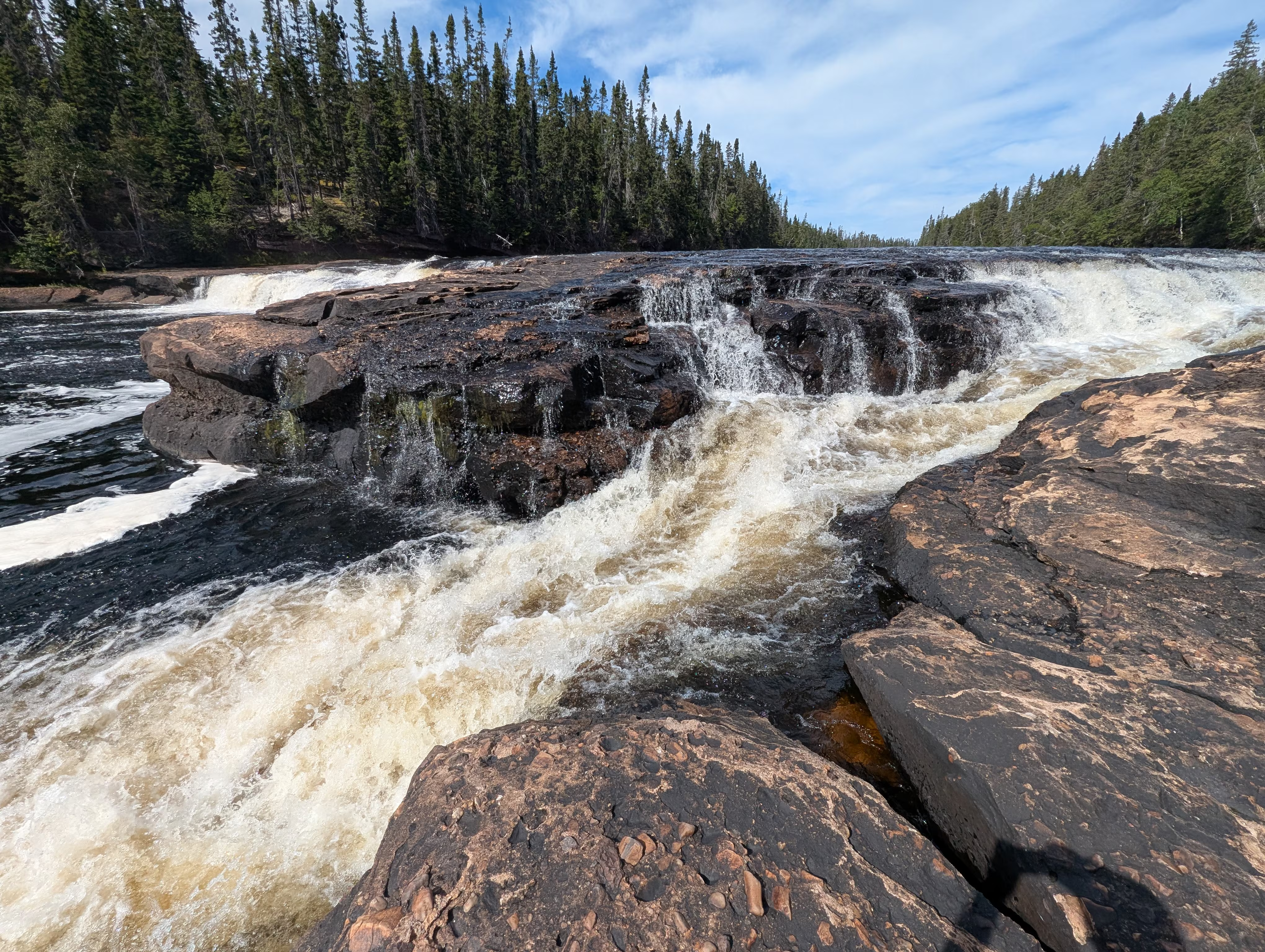
Aftwerwards, we drove 250 km to Notre Dame park.
These were our tracks for Sunday, Aug 17
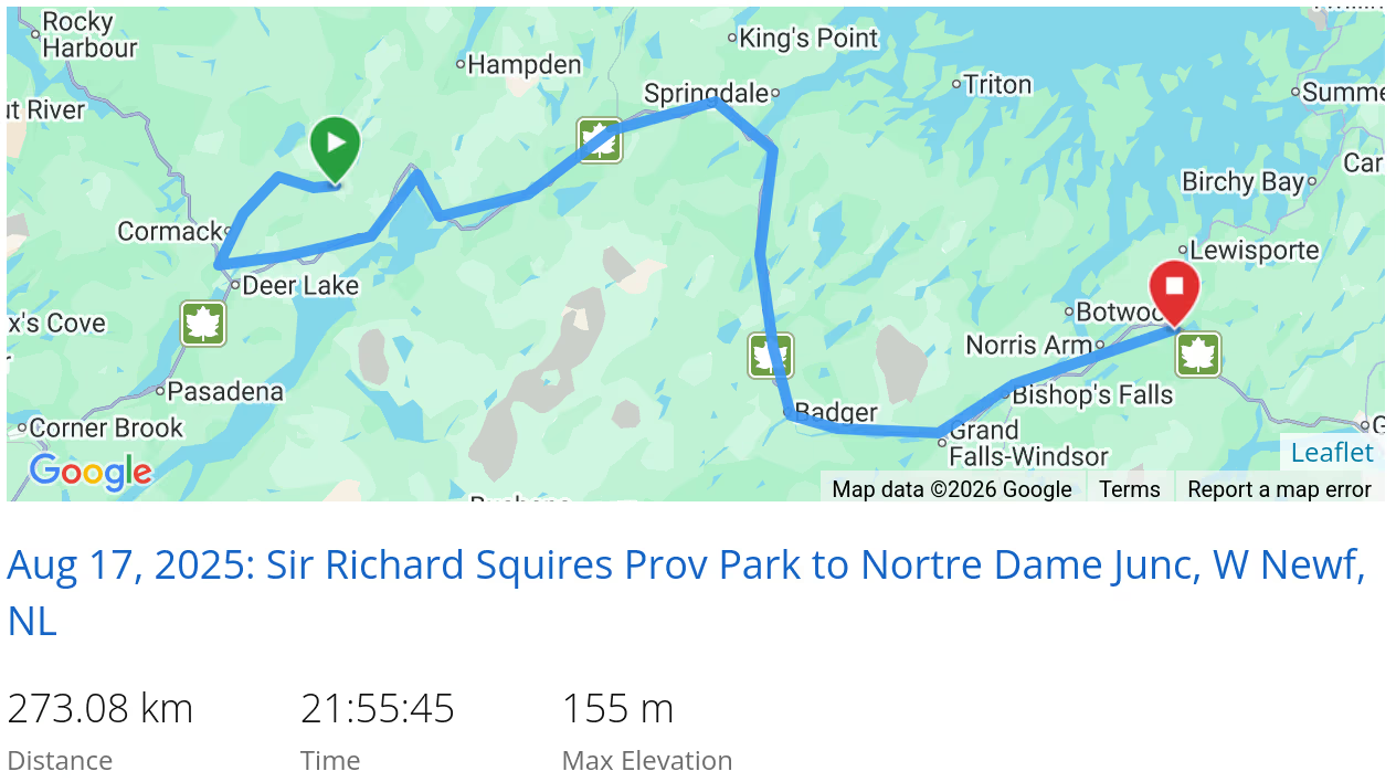 *click on the map for more details
Lewisporte Lobster
On Monday, we drove to Dildo Provincial Park, stopping at the Lewisporte giant lobster for lunch (cod not lobster):
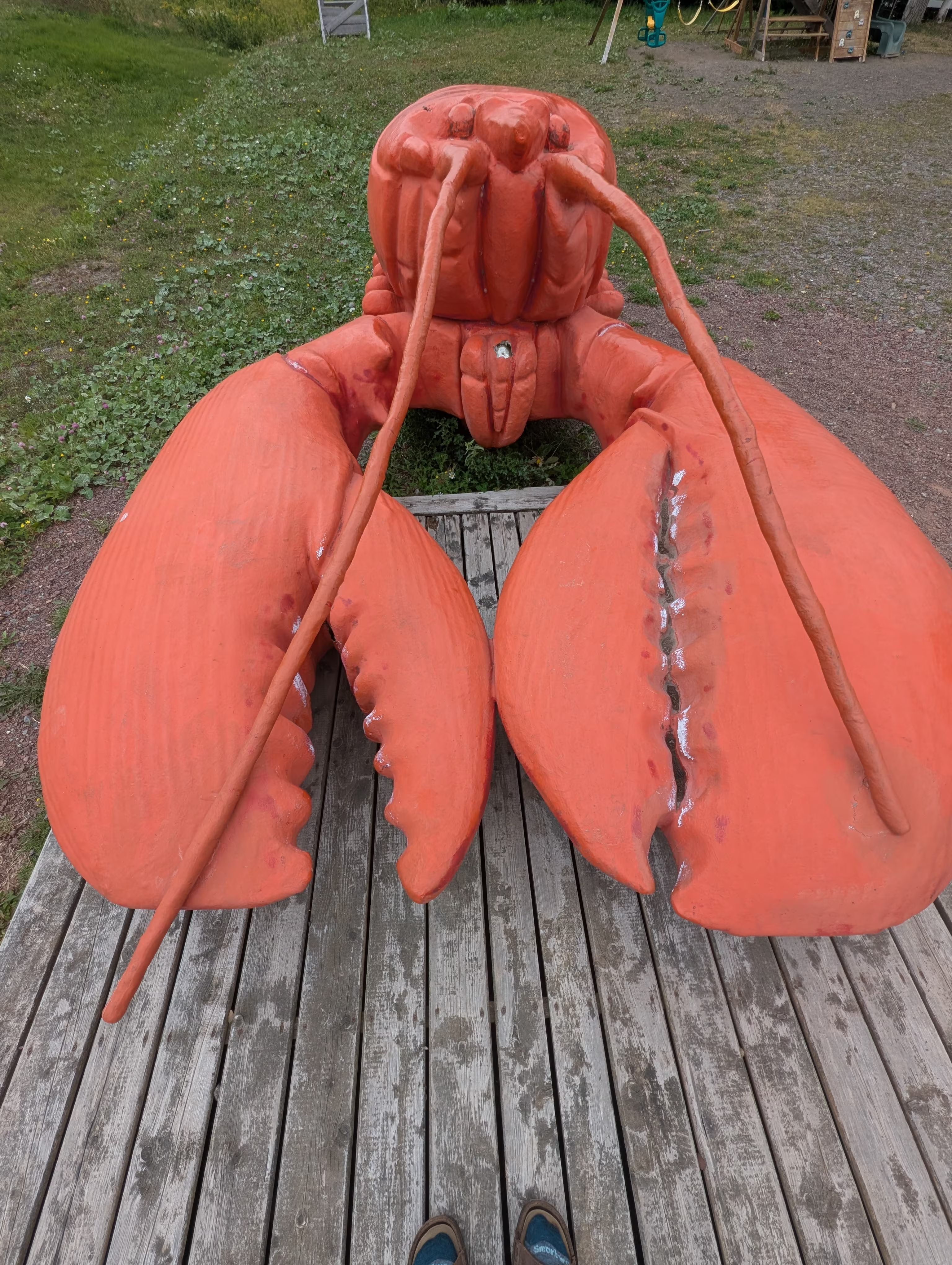
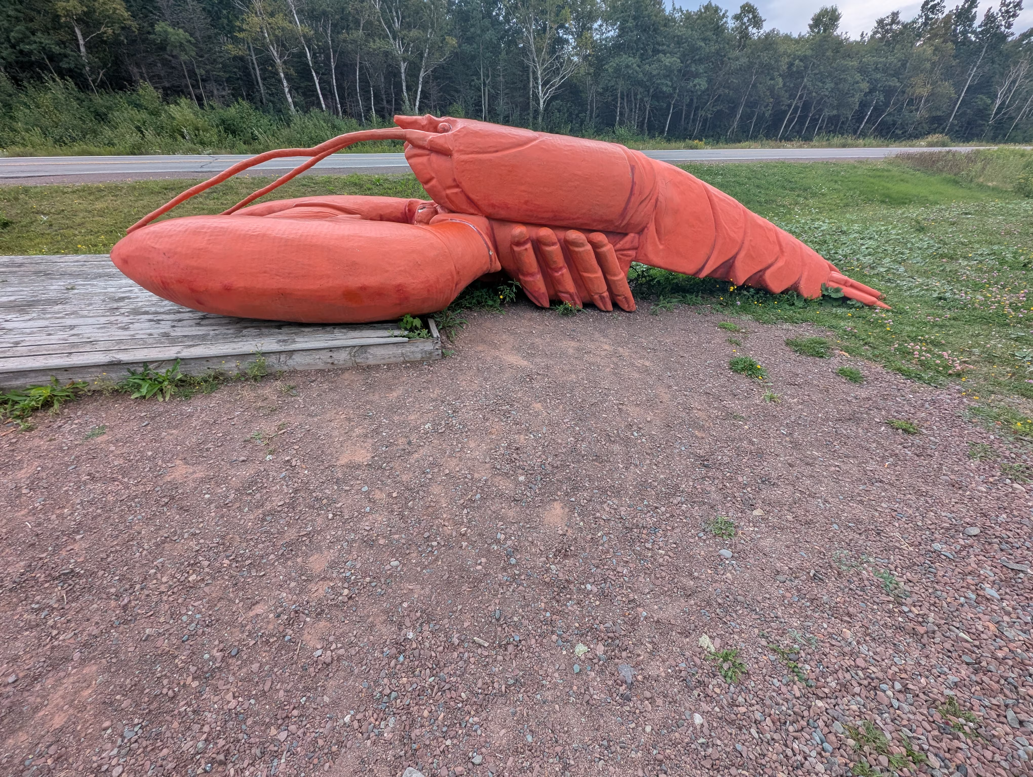
Unfortunately we could not get any fresh lobster because the Newfoundland season had ended.
Beothuk Interpretation Center
On Tuesday, we back tracked to the Beothuk Interpretation Center before heading to Twillingate.
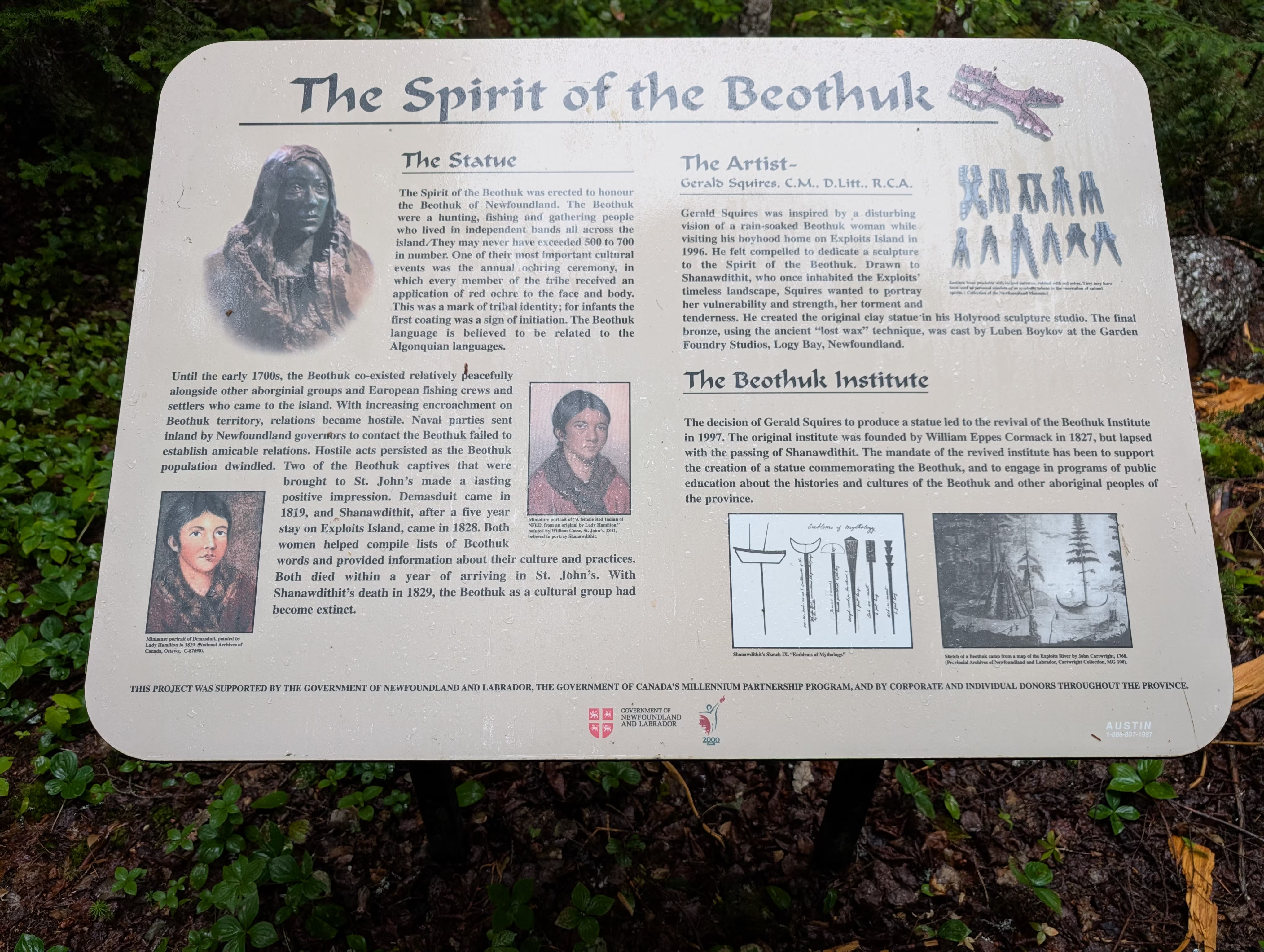
The Beothuk were an Indigenous people who traditionally inhabited Newfoundland. The last known Beothuk clan lived near Byrd’s Cove and were wiped out during a clash over claims of theivery, with the exception of Shawnadithit and her aunt who were whisked away to St. Jon’s. Shawnadithit was the last of the Beothuk and died of tuberculosis in 1829.
Many artifacts were found in the village here at Byrd’s Cove and the province has set up a Beothuk Interpretation Centre to display the artifacts, present the Beothuk’s way’s of life and to preserve the archealogical site.
On the walk from the Interpretation Centre to the archaelogical site (which has a few mounds of earth outlining the buildiing foundations, much like at L’anse aux Meadows), there is bronze statue of Shawnadithit:
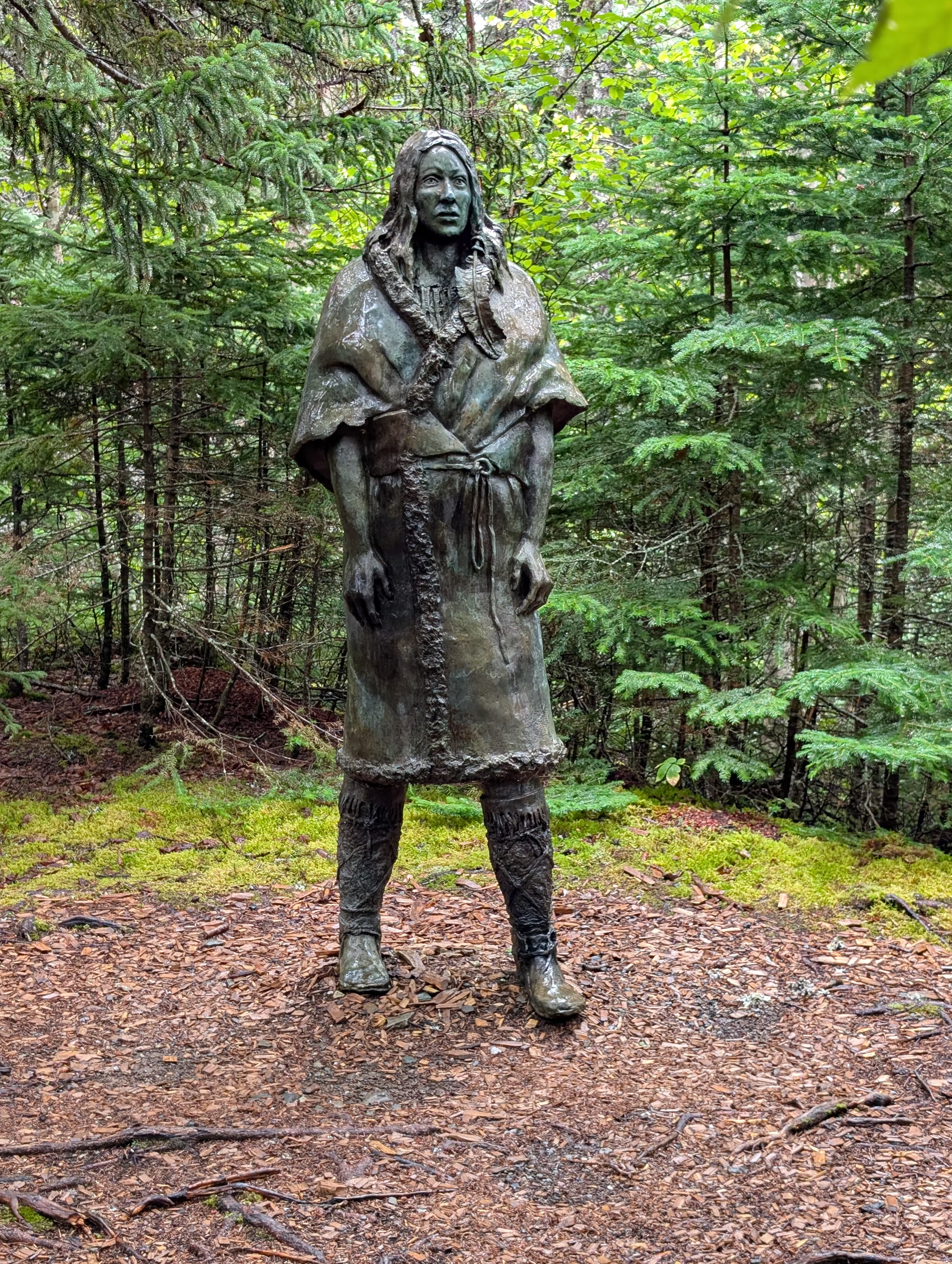
and placard:
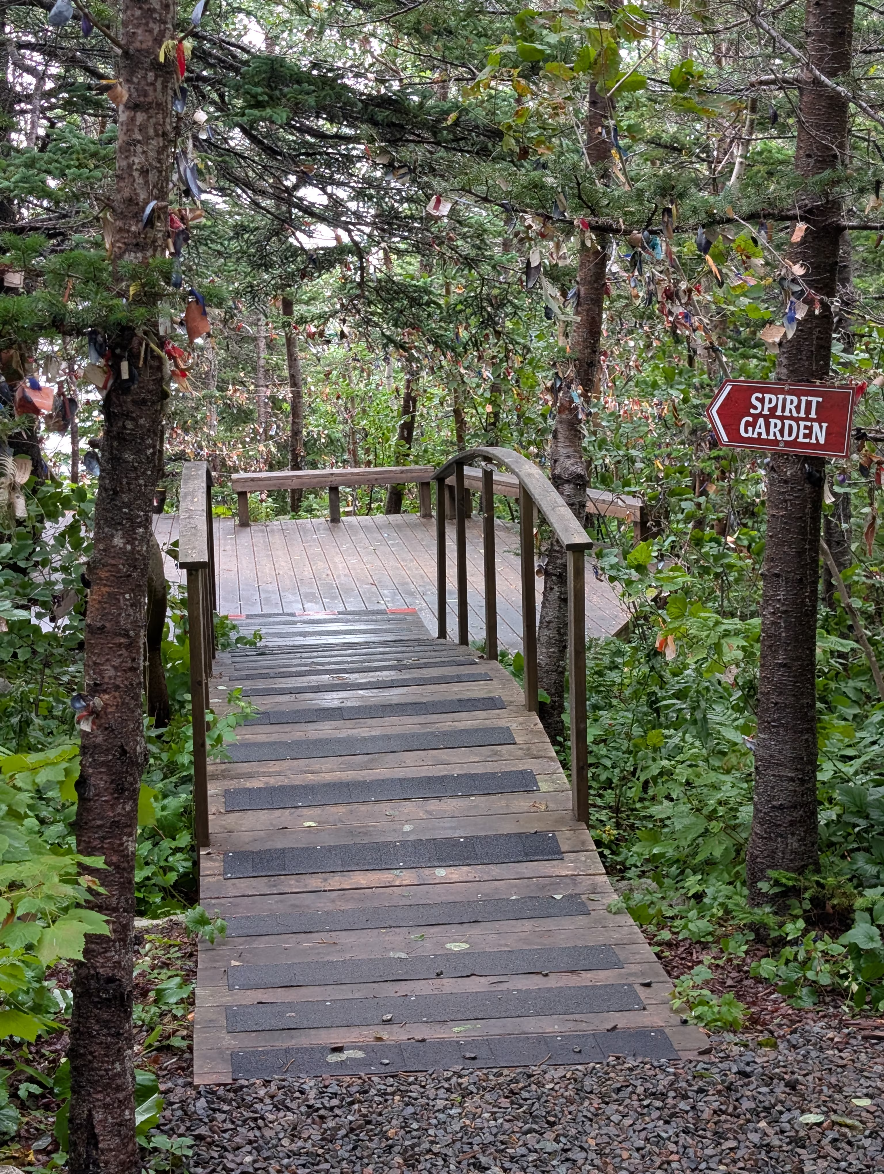
There also is a Spirit Garden near to the Interpretation Centre:
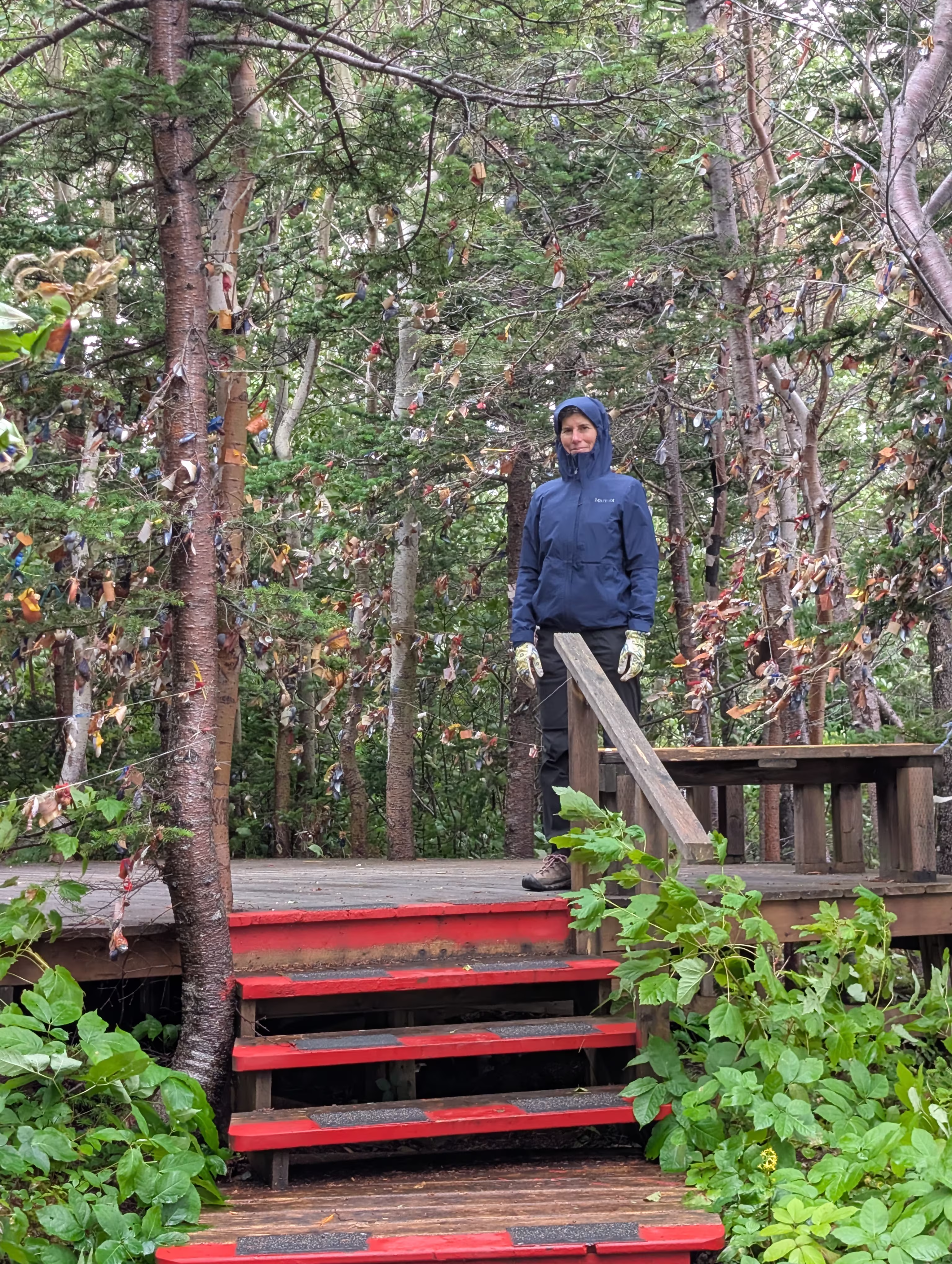
with all kinds of tokens and messages hung from the trees:
Twillingate
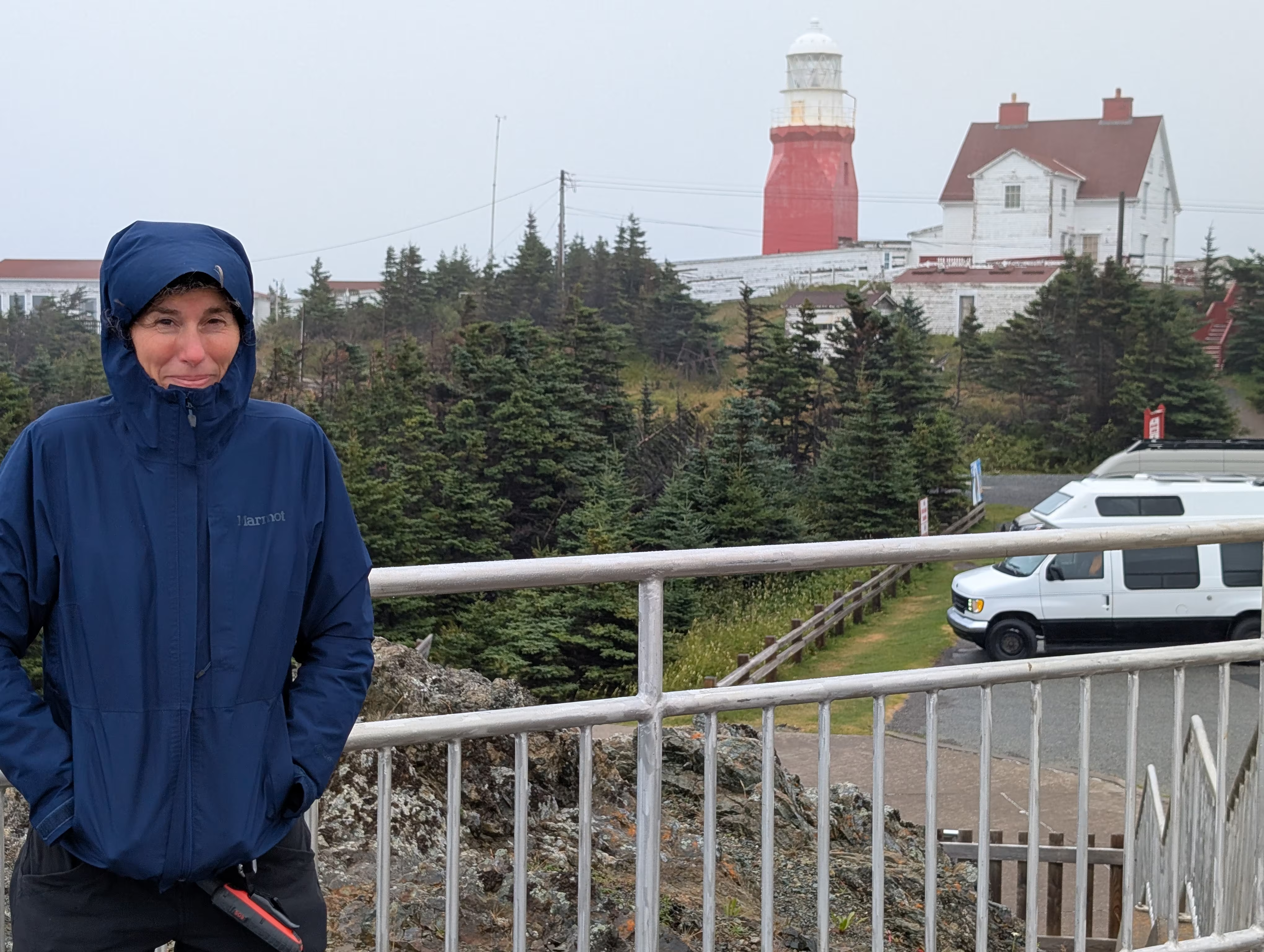
The first stop in Twillingate was at the Long Point Lighthouse. As you can see, the weather was not too good and the nearby Heritage Museum was closed:
These were our tracks for Tuesday, Aug 19
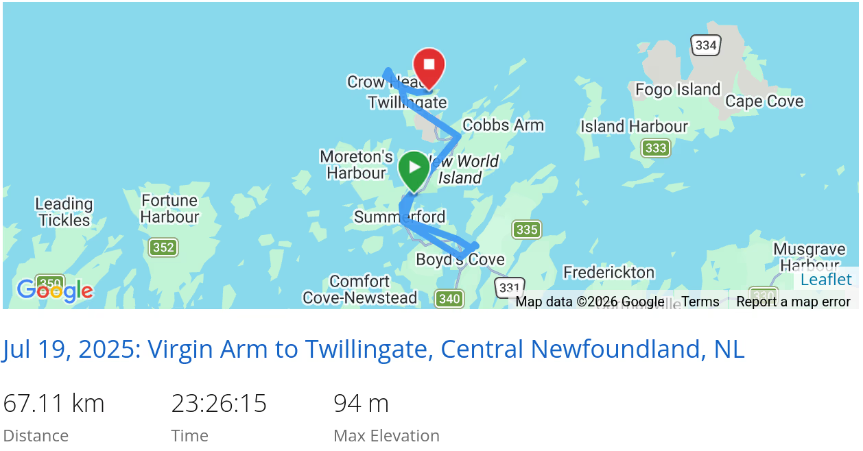 *click on the map for more details
On Wednesday, visited the Wooden Boat Museum in Twillingate:
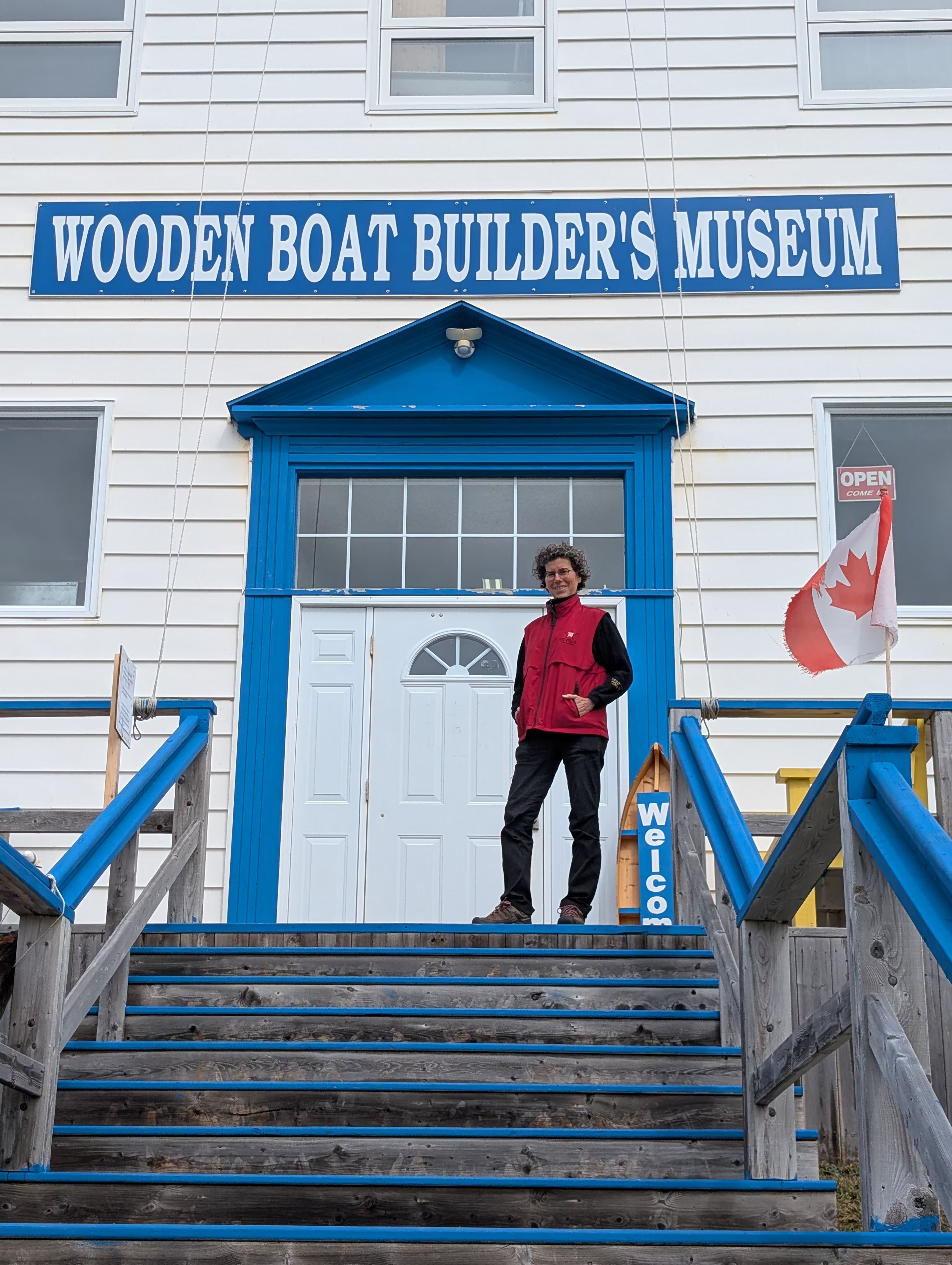
Did you know that most of the Newfoundland fishermen built their own boats? Usually every year? Boats like this:
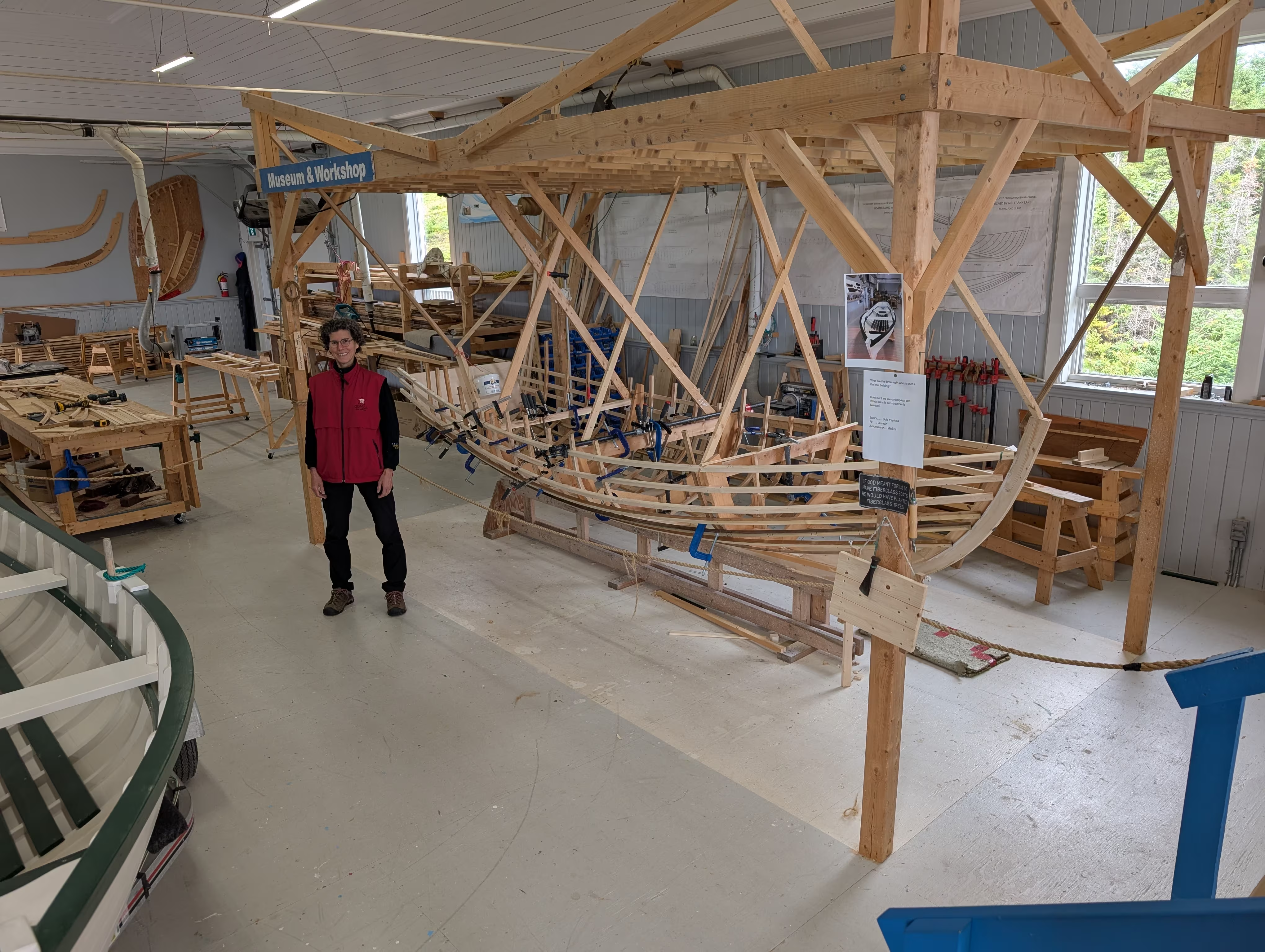
Can you imagine taking a small boat like this to all of the places in the song I’s the B’y (Fogo, Twillingate, Moreton’s Harbour)? Look it up!
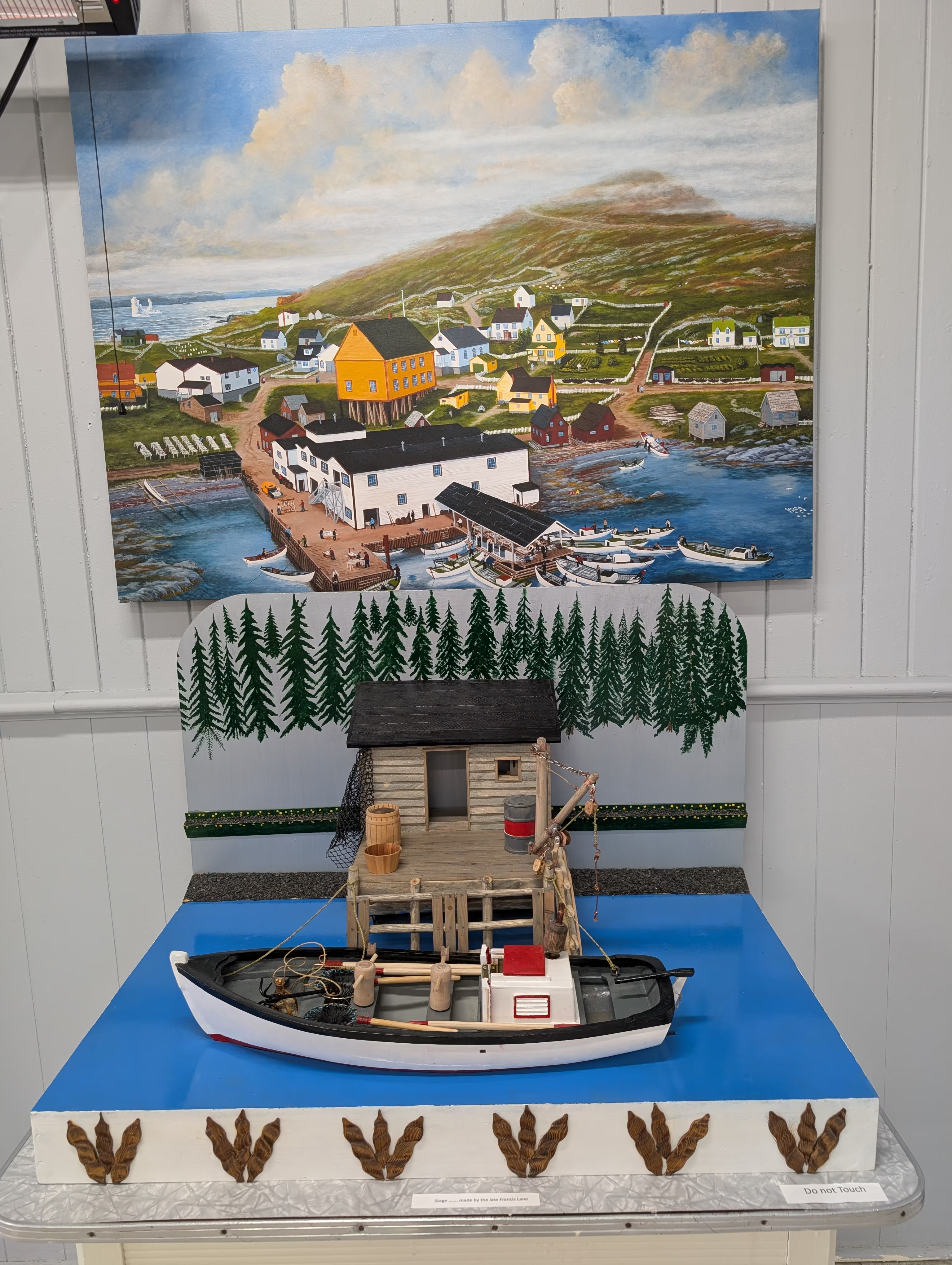
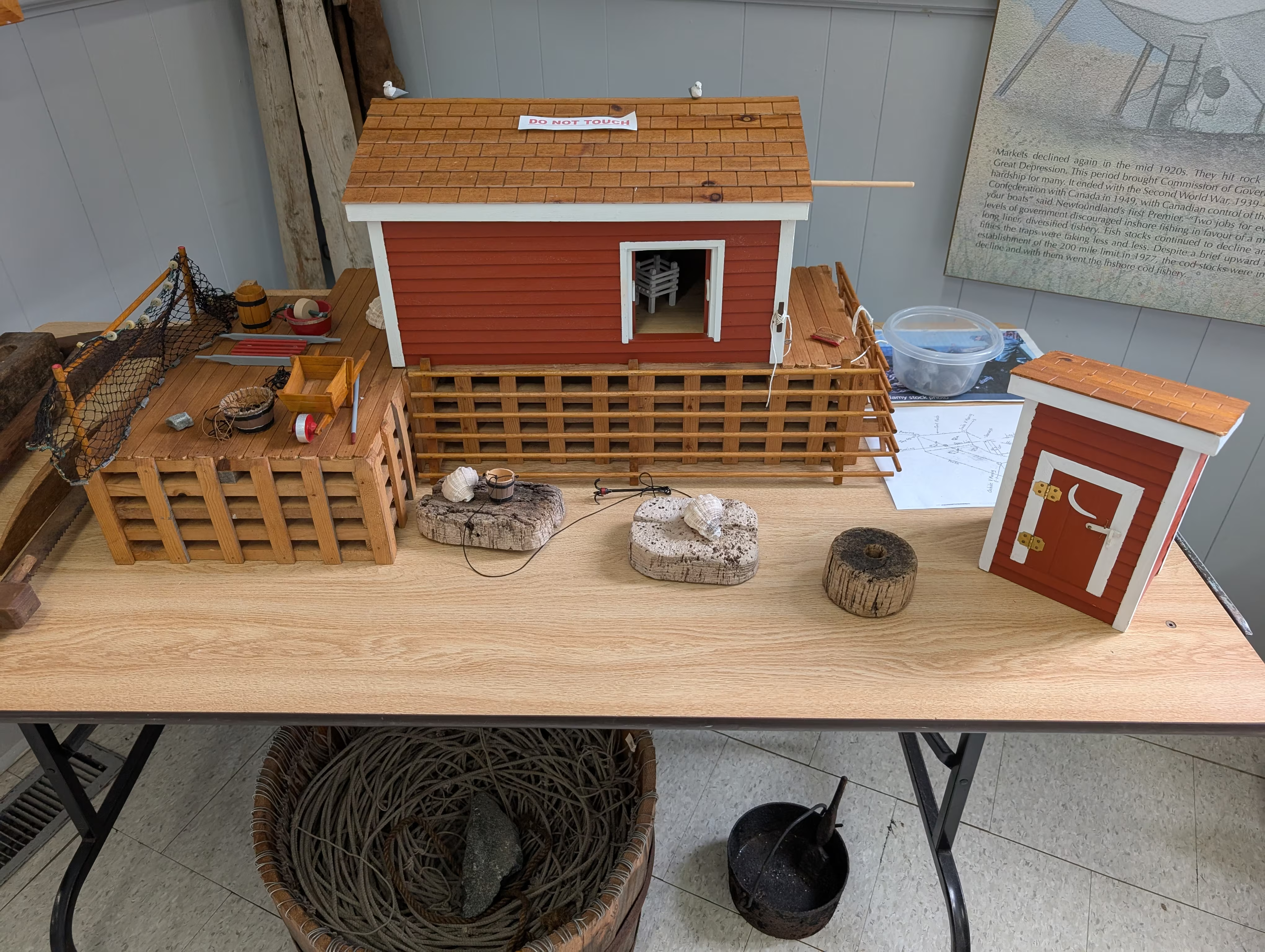
They also had models of typical fisherman’s sheds:
These were our tracks for Wednesday, Aug 20
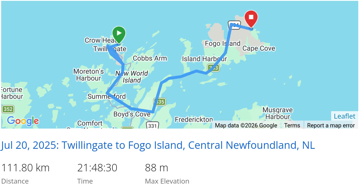 *click on the map for more details
Fogo Island
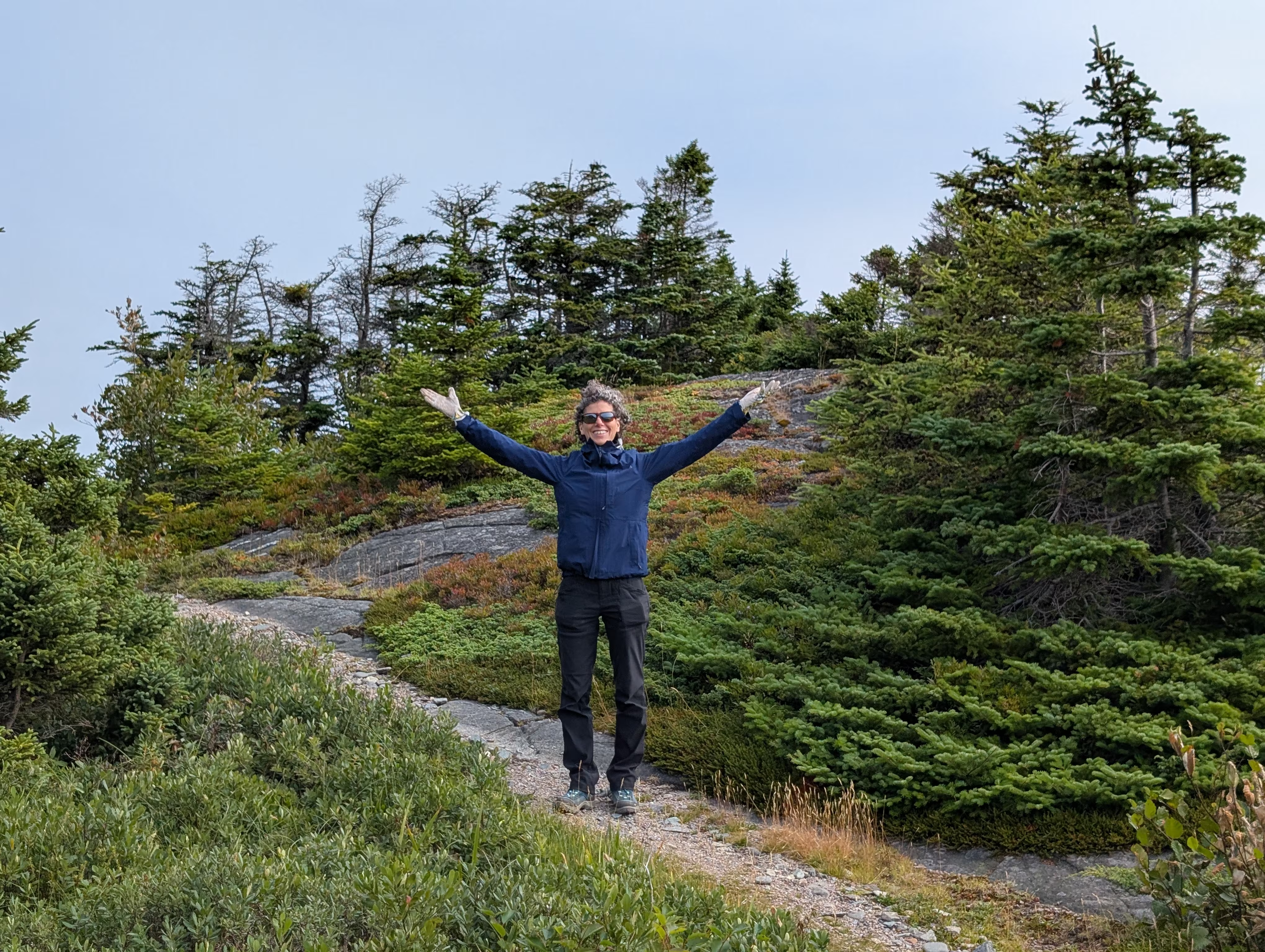
Thursday morning after breakfast, we found out that we had boondocked next to Turpin’s Hiking Trail which turned out to be first activity of the day, which started in a bit of forest
moved to expansive barrens:
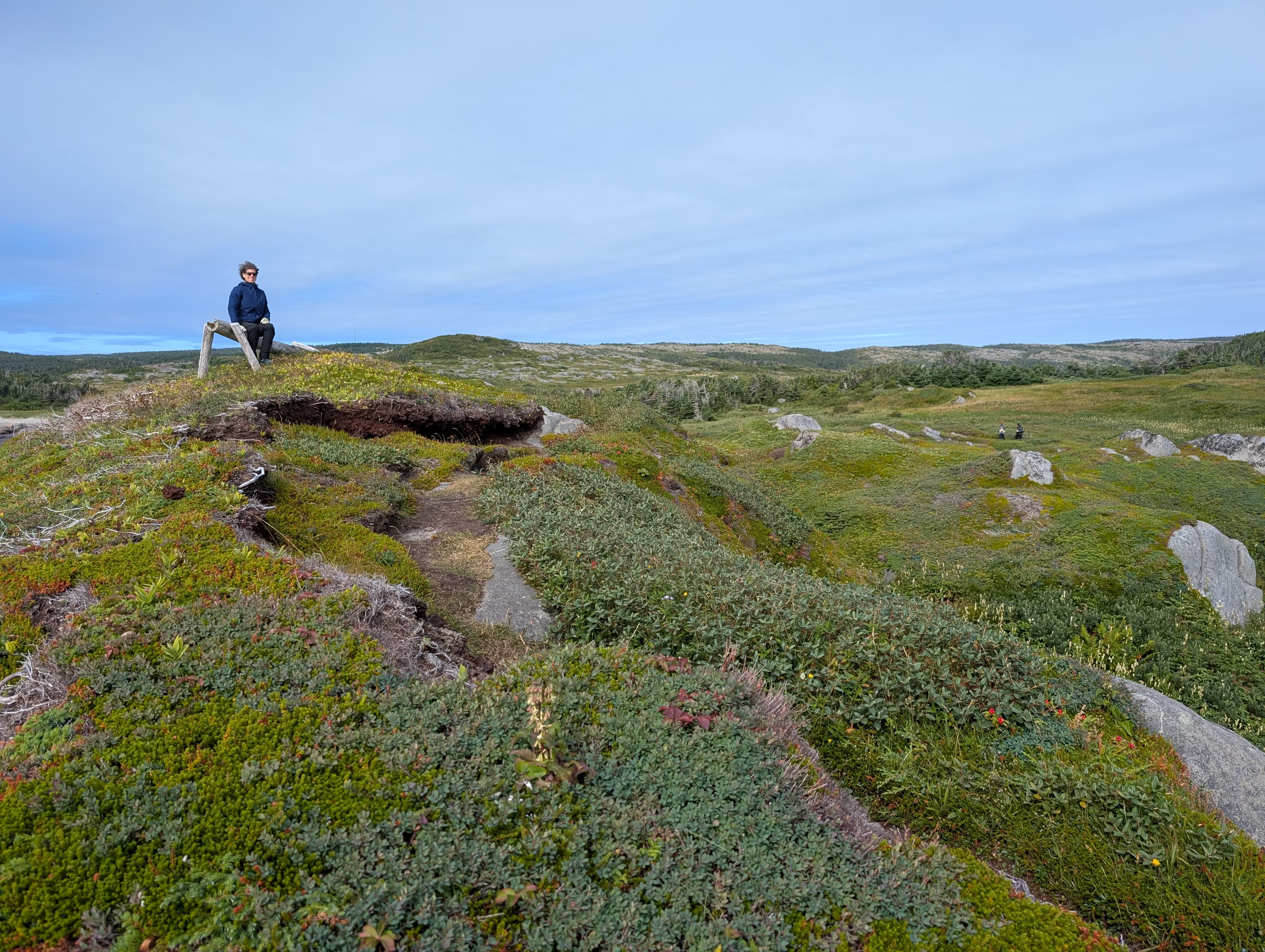
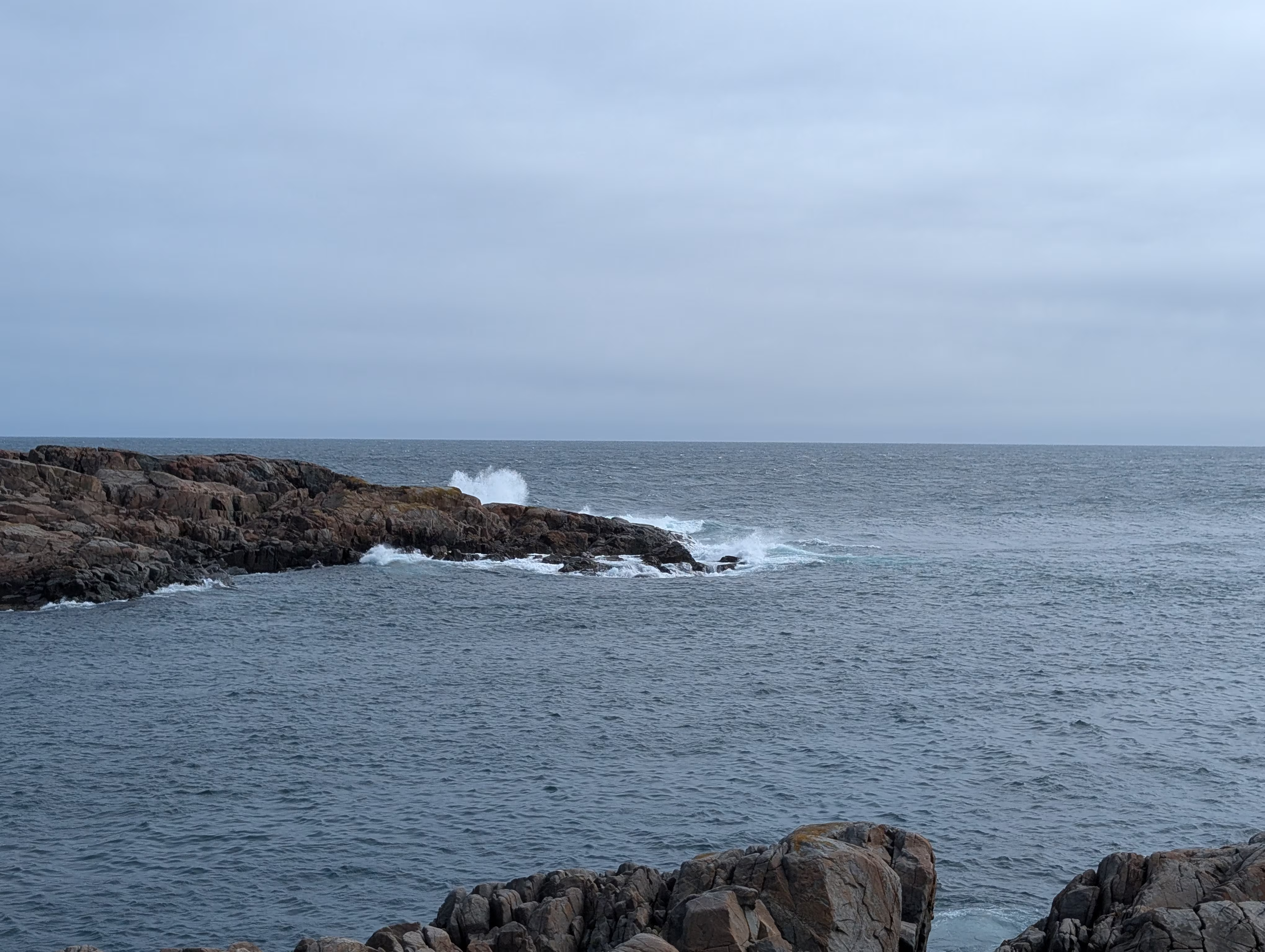
and had lots of views of the coast with its big waves and sprays:
After the hike we did a bit exploring around Tilting, a National Historic Site of Canada:
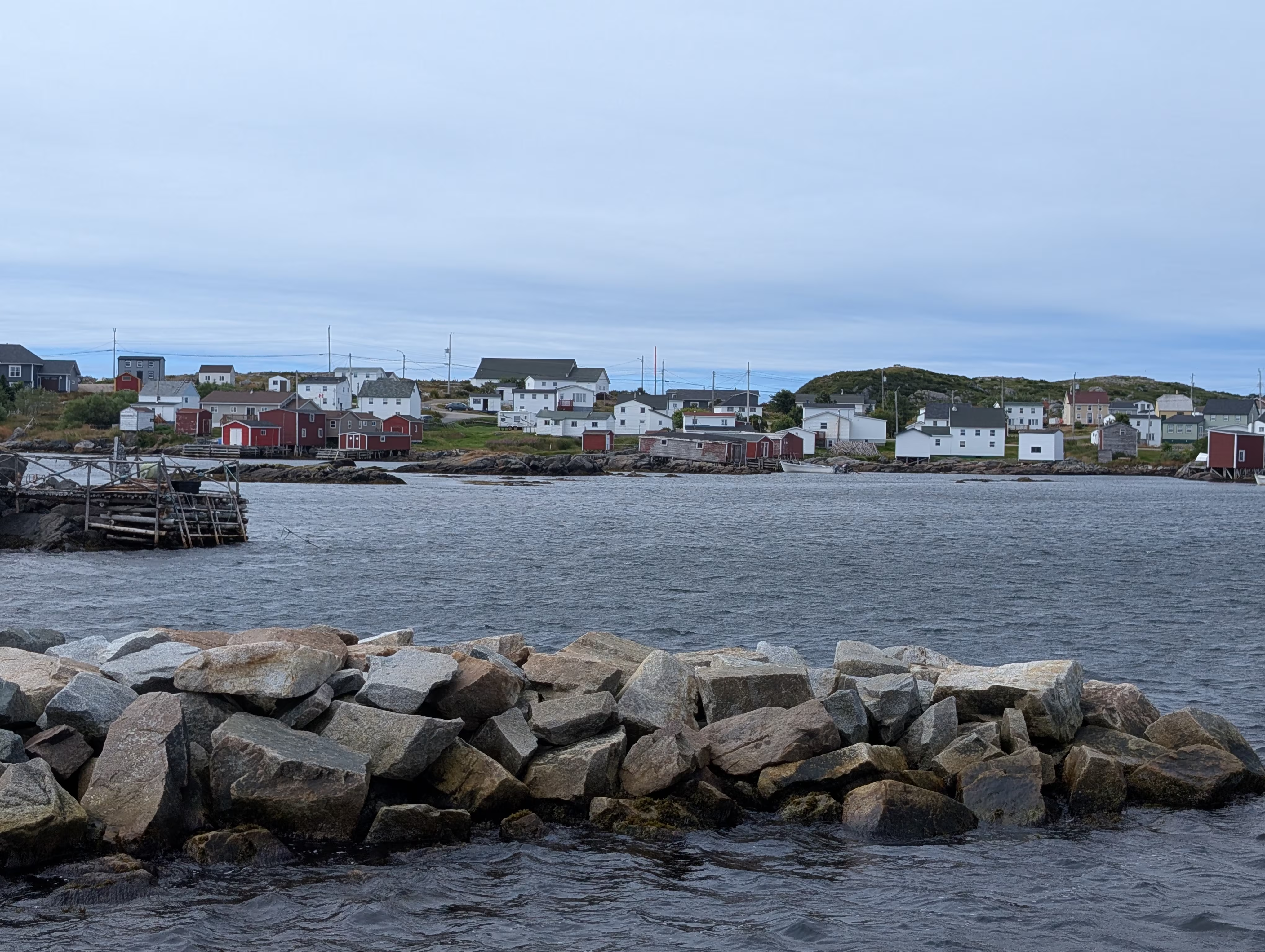
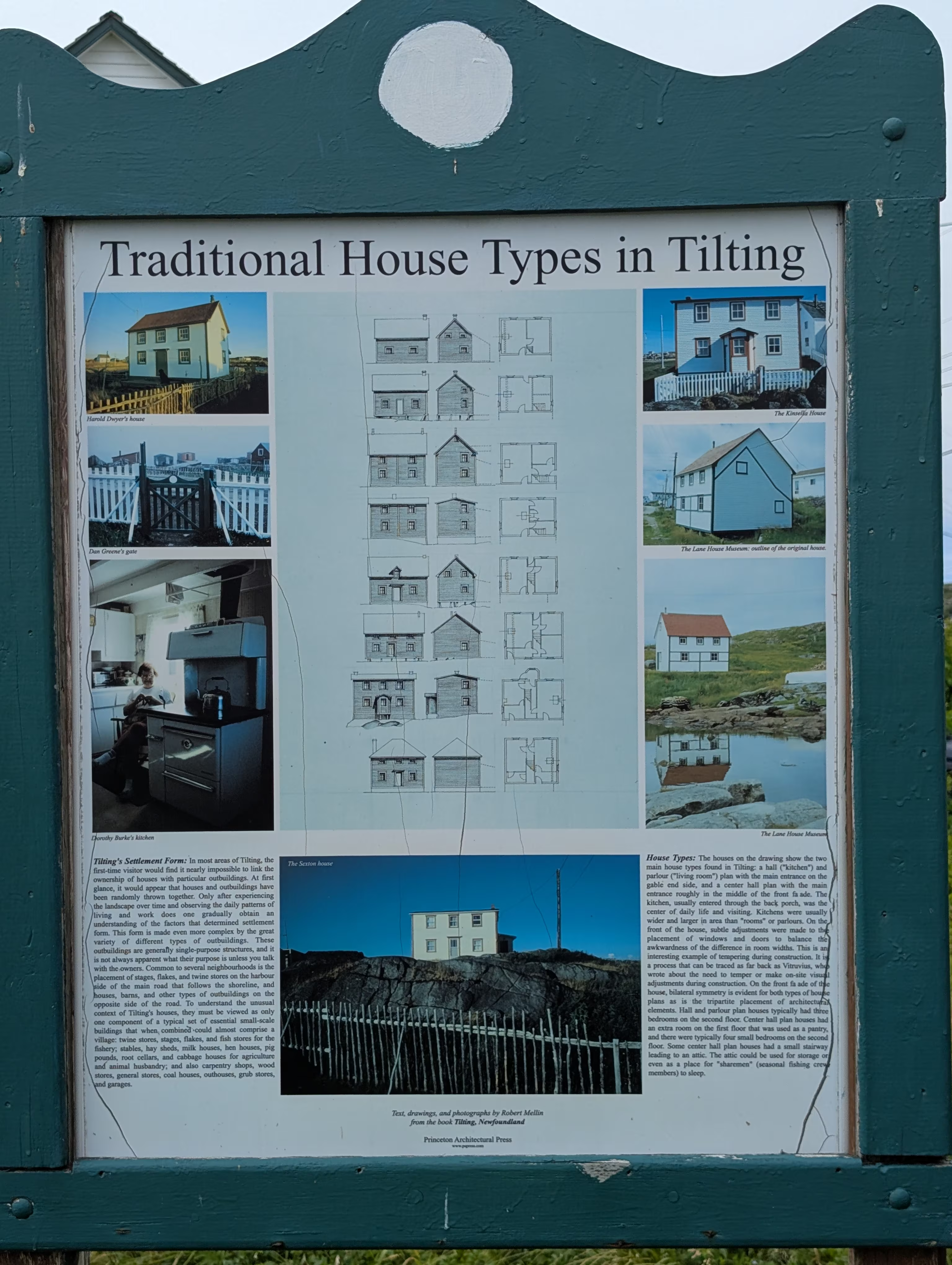
although we admit that we did not seek out all the different house types:
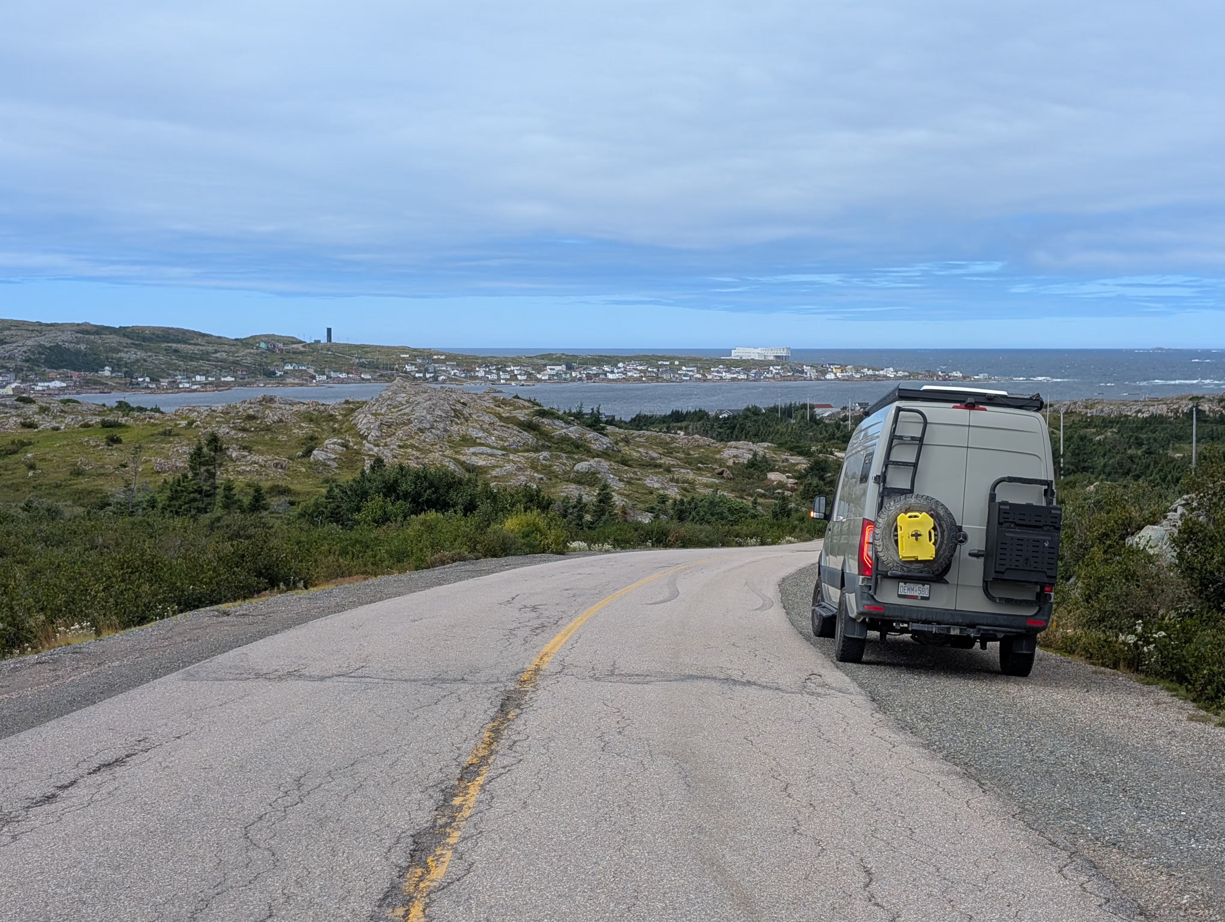
Next it was on to Joe Batt’s Arm, the home of the Fogo Island Inn recognized as one of the top 50 hotels in the world. You can see it in the background of this picture:
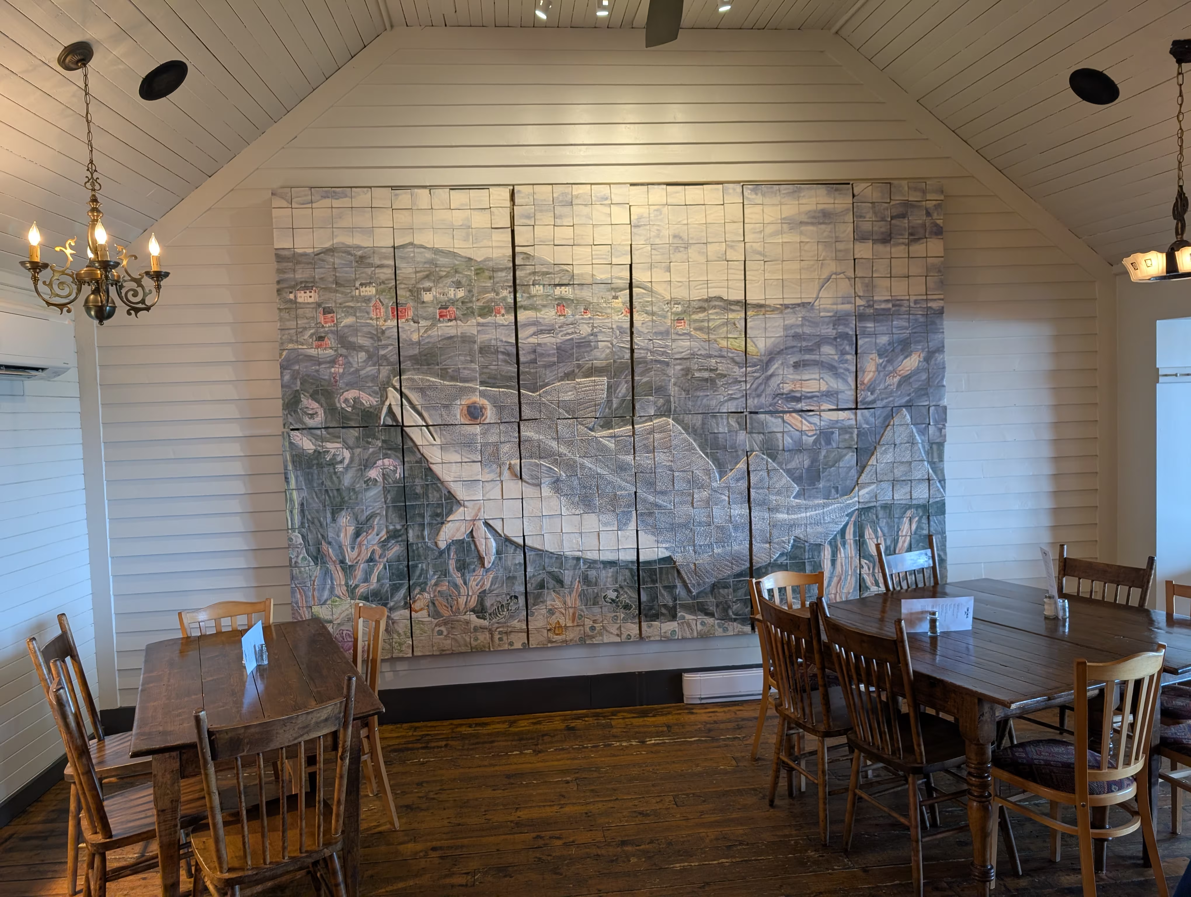
We opted not to dine at the Inn (they require 24 hours advance notice). Instead we had lunch at The Storehouse with its beatiful mural of a cod:
On the way to Brimstone Head RV Park, we stopped at a look out that overlookded two cemetaries:
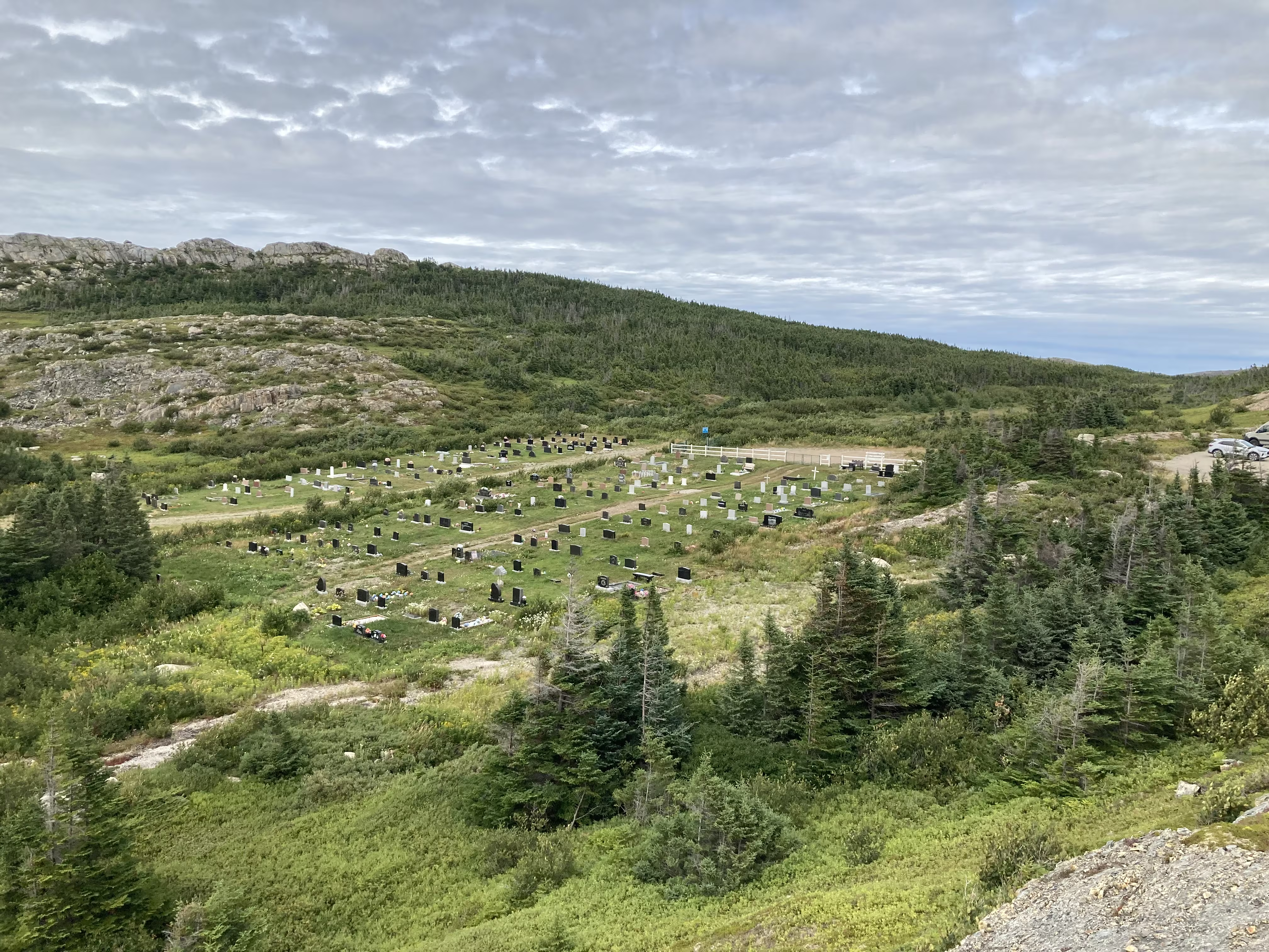
And there was a third one across the street. Many small villages will have two or three churches, each a different denomination, to serve its population. There are three churches in the next picture of the town of Fogo:
These were our tracks for Thursday, Aug 21
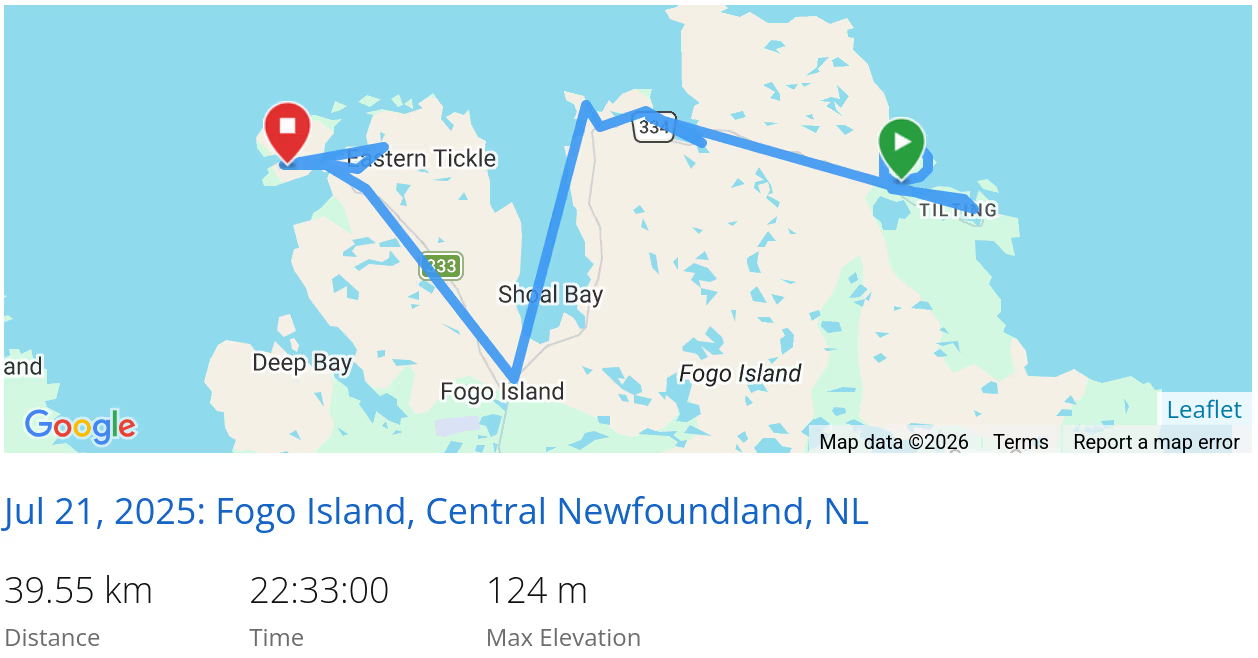 *click on the map for more details
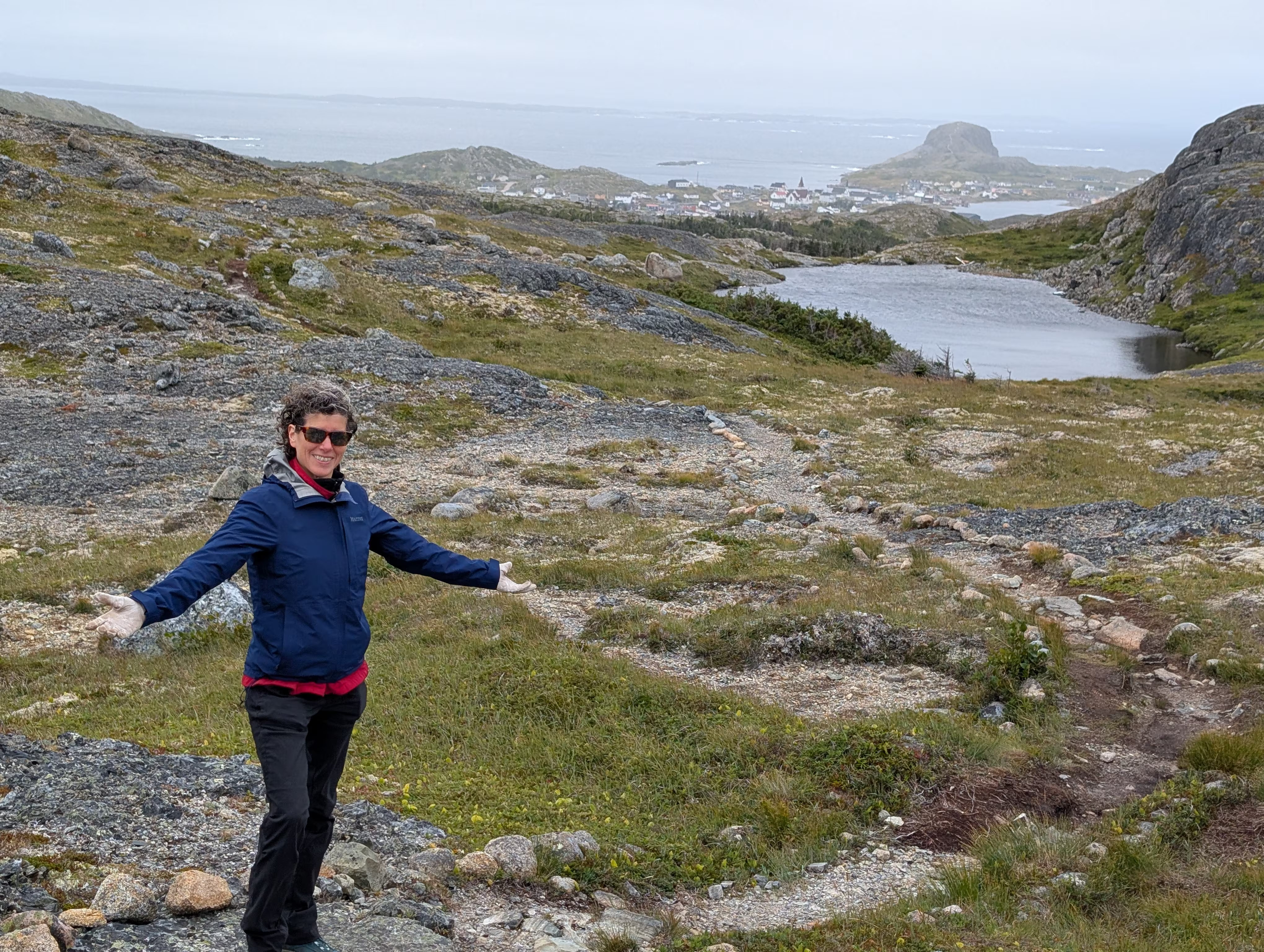
On Friday, we visited the Marconi Wireless Interpretation Centre and then hiked the Lion’s Den Hiking Trail which starts at the Interpretation Centre:
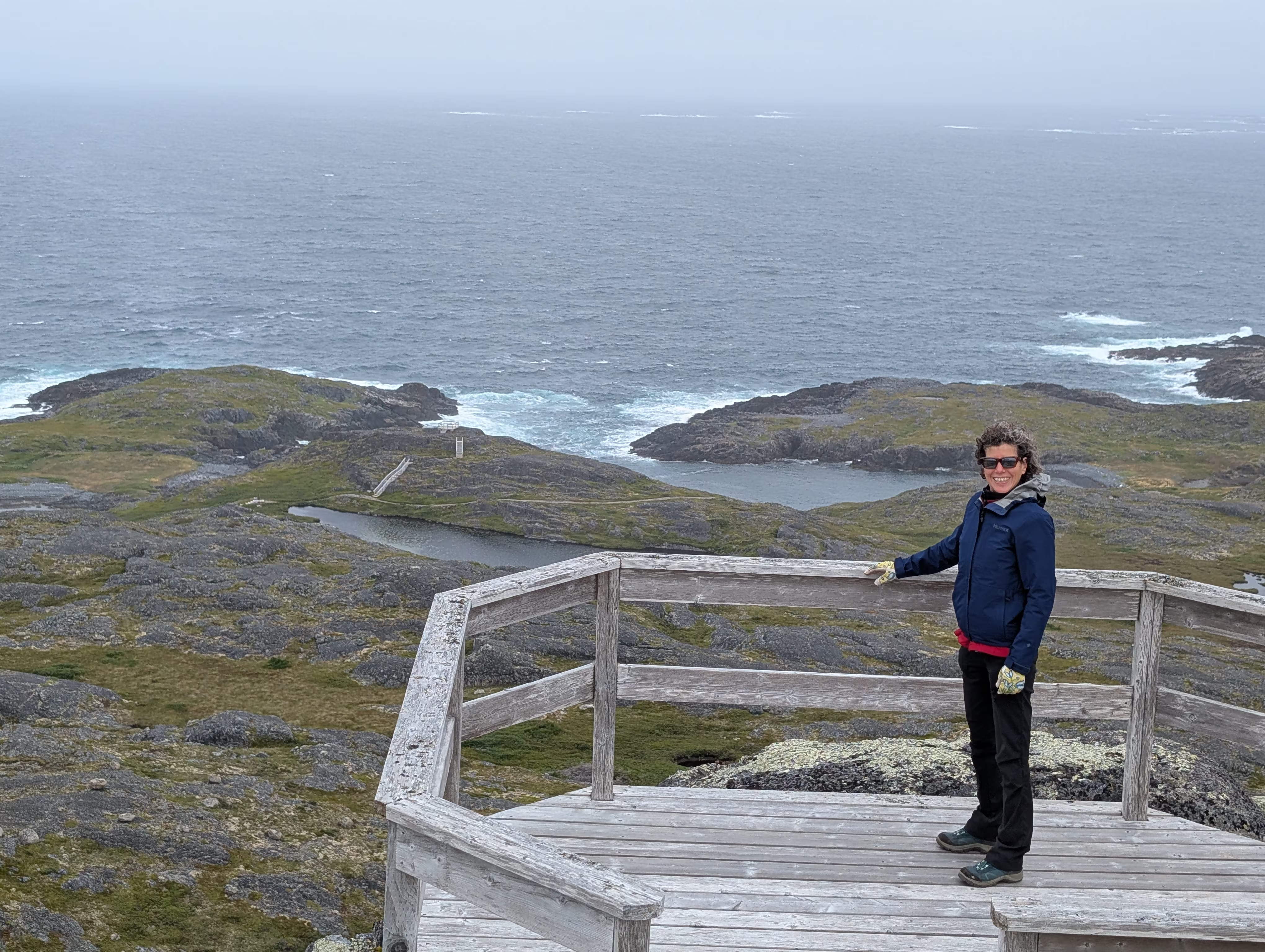
We were at the front of the ferry leaving Fogo Island which gave us front row seats to the lowering of the front access of the ferry.
Musgrave Harbour
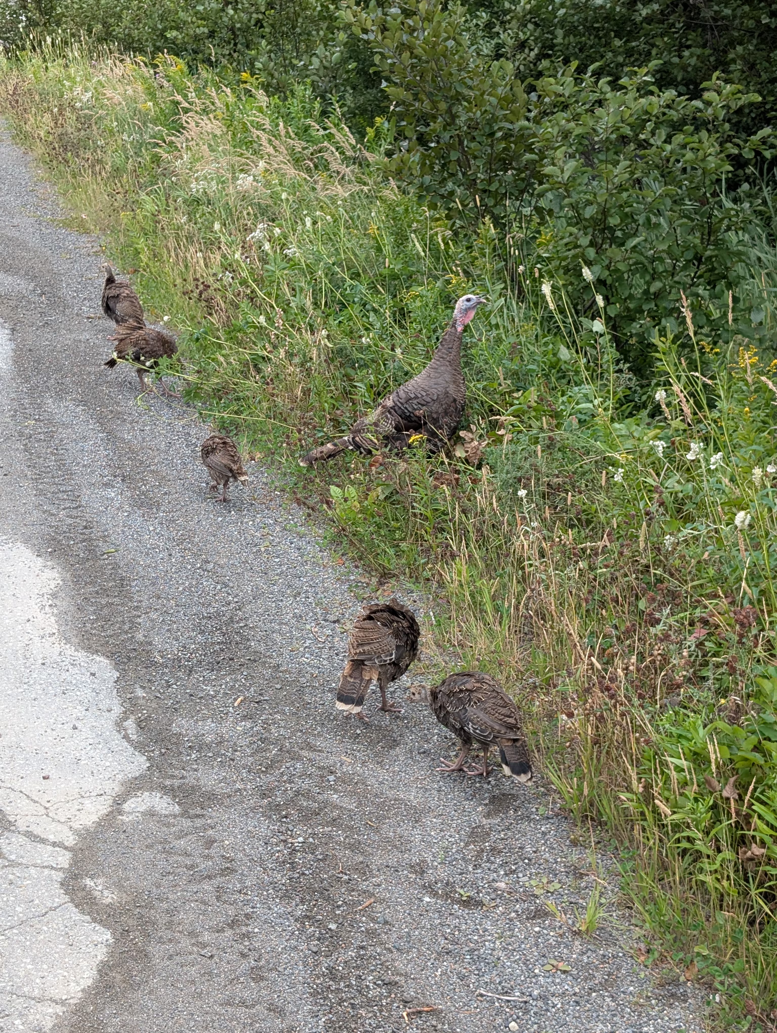
On our way to our boondock in Musgrave Harbour, we came across a Turkey hen and her brood.
Our boondocking tool indicated that there were spots to stay on the beach in Musgrave Harbour, but we did not like what we saw on the open beach, so we went into the festival grounds on the beach, which turned out to be a disaster because we lost all traction going around a tight corner with a bit of an uphill and got STUCK!
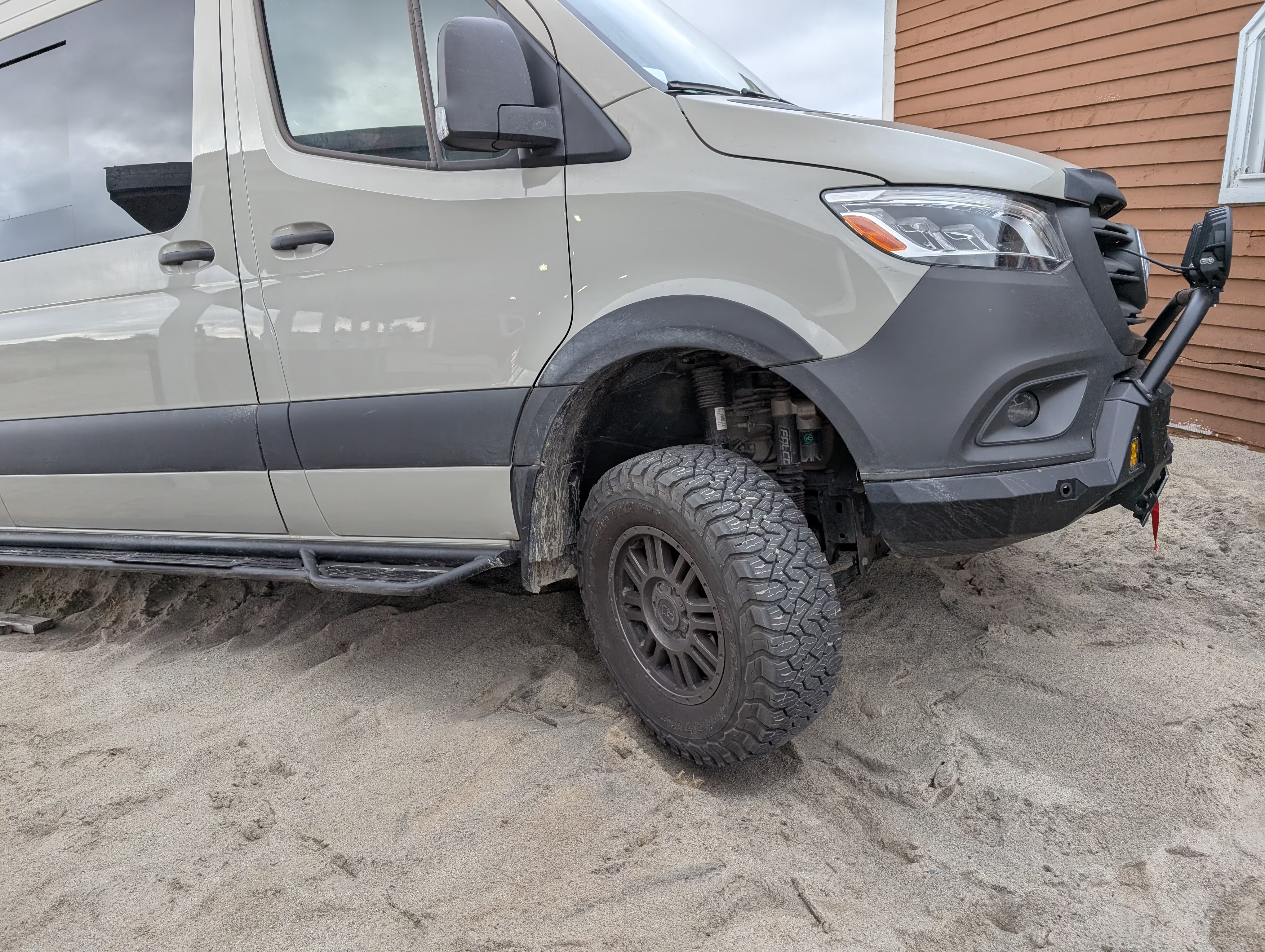
Notice the space between the wheel and the sand?
After we were rescued, and got to use our winch (which we had hoped never to use, at least not for ourselves), we boondocked at our second choice.
When next you see us, ask us for the full story;-)
These were our tracks for Friday, Aug 22
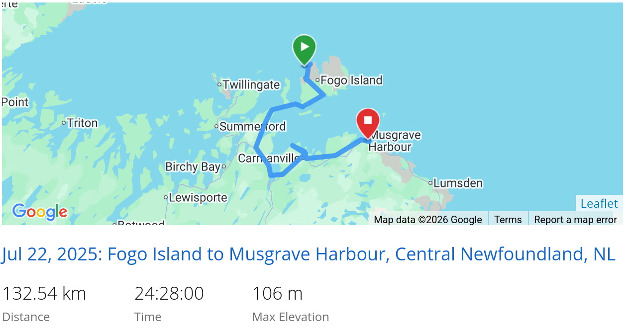 *click on the map for more details
Lumsden
On Saturday morning, we headed to Lumsden (follow the link to see lots cars parked on the beach), a pretty beach town:
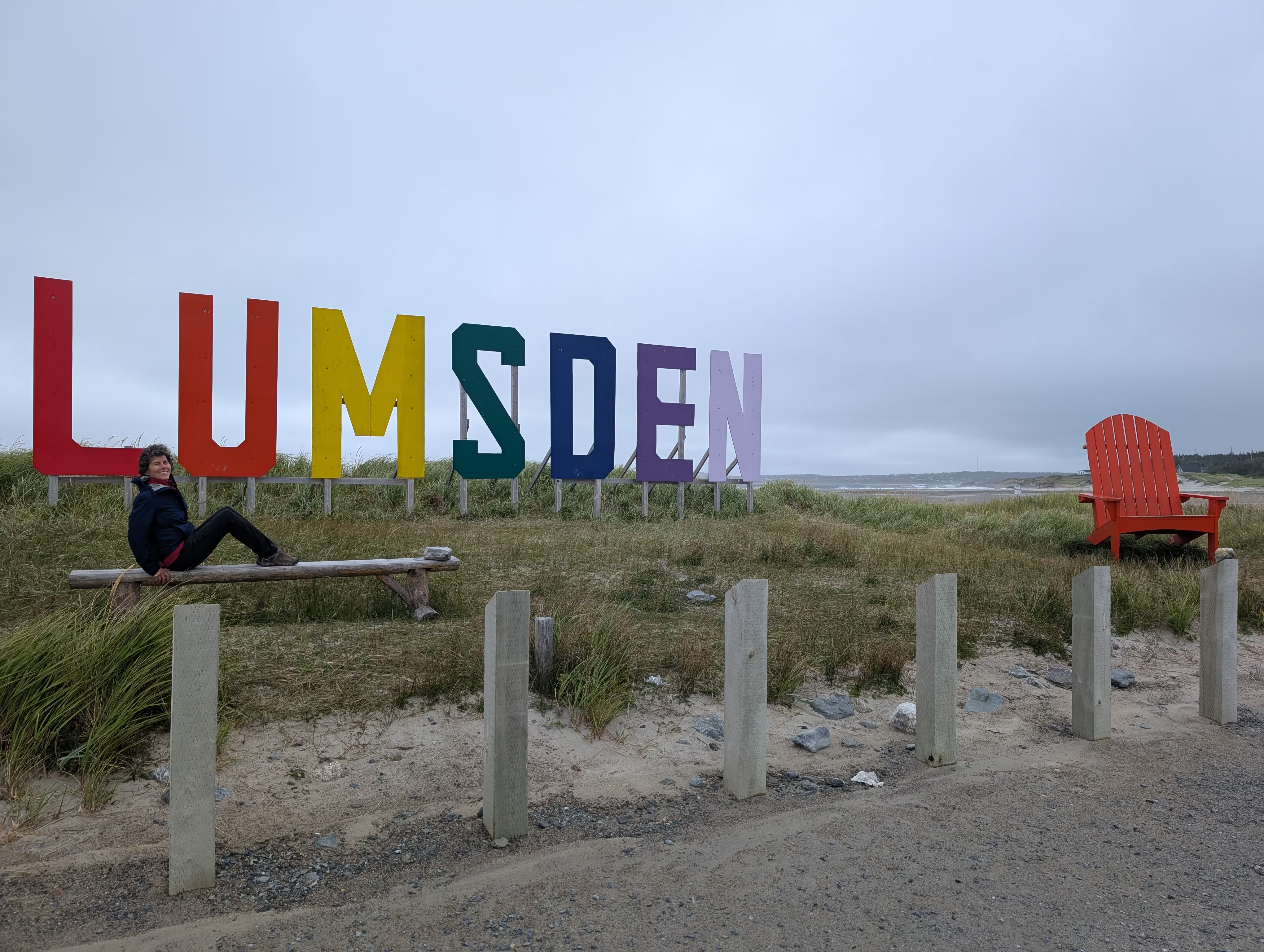
Once again, the high for the day was 16°, which was not appealing to bask on the beach and play in the surf.
Gambo
Later that day, we visit Gambo, the home of Joey Smallwood, the man who was the main force who brought the Dominion of Newfoundland into Canadian Confederation in 1949, becoming the first premier of Newfoundland.
After admiring the “metal” band (and their minion audience) across the street from the gas station:
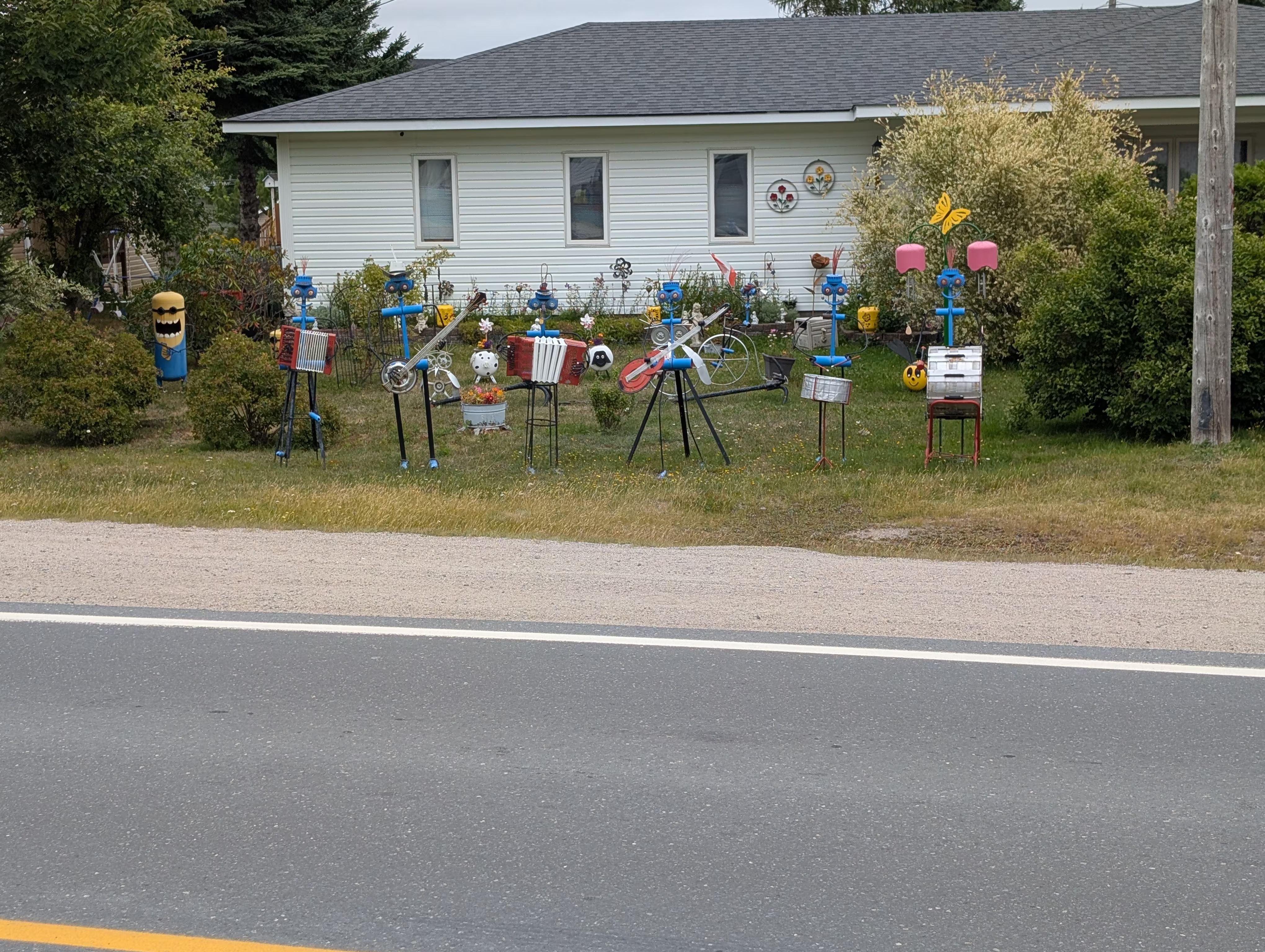
we had to go up to Joey’s Look-Out
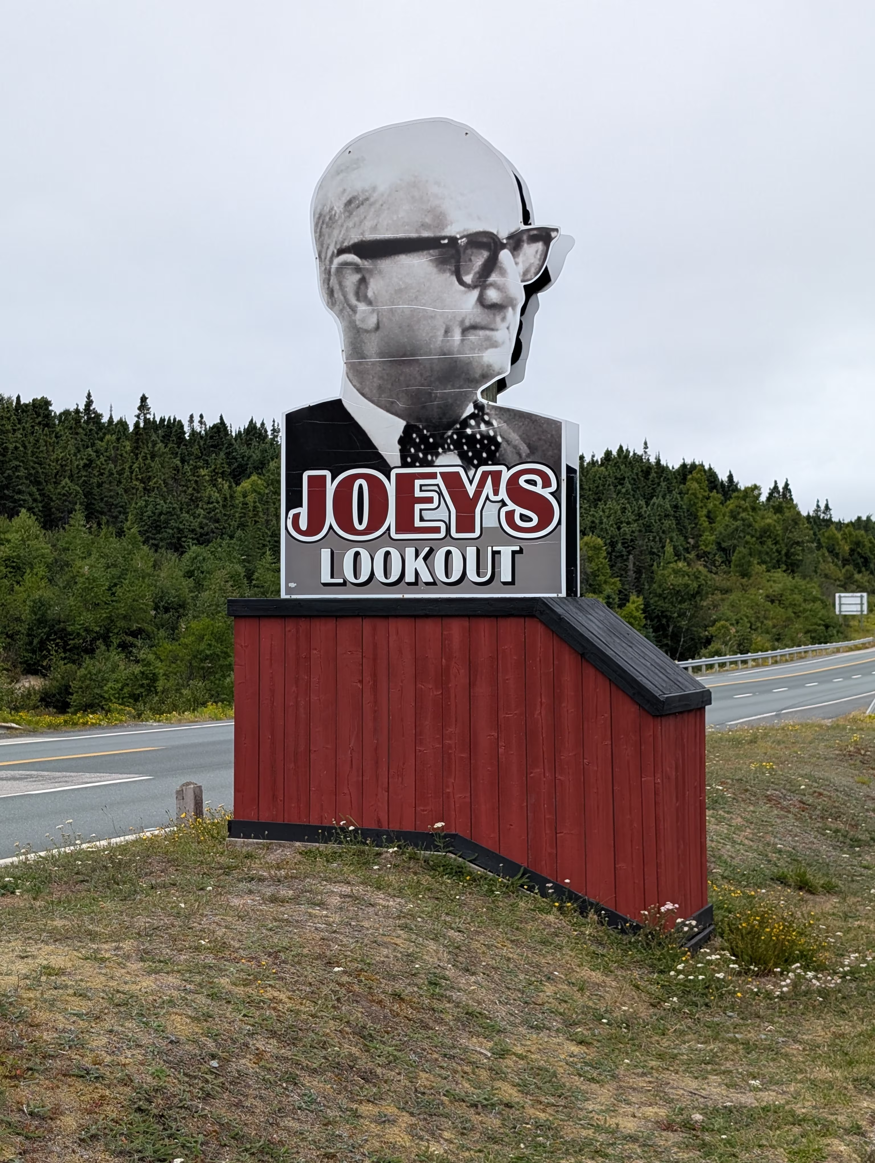
and look out:
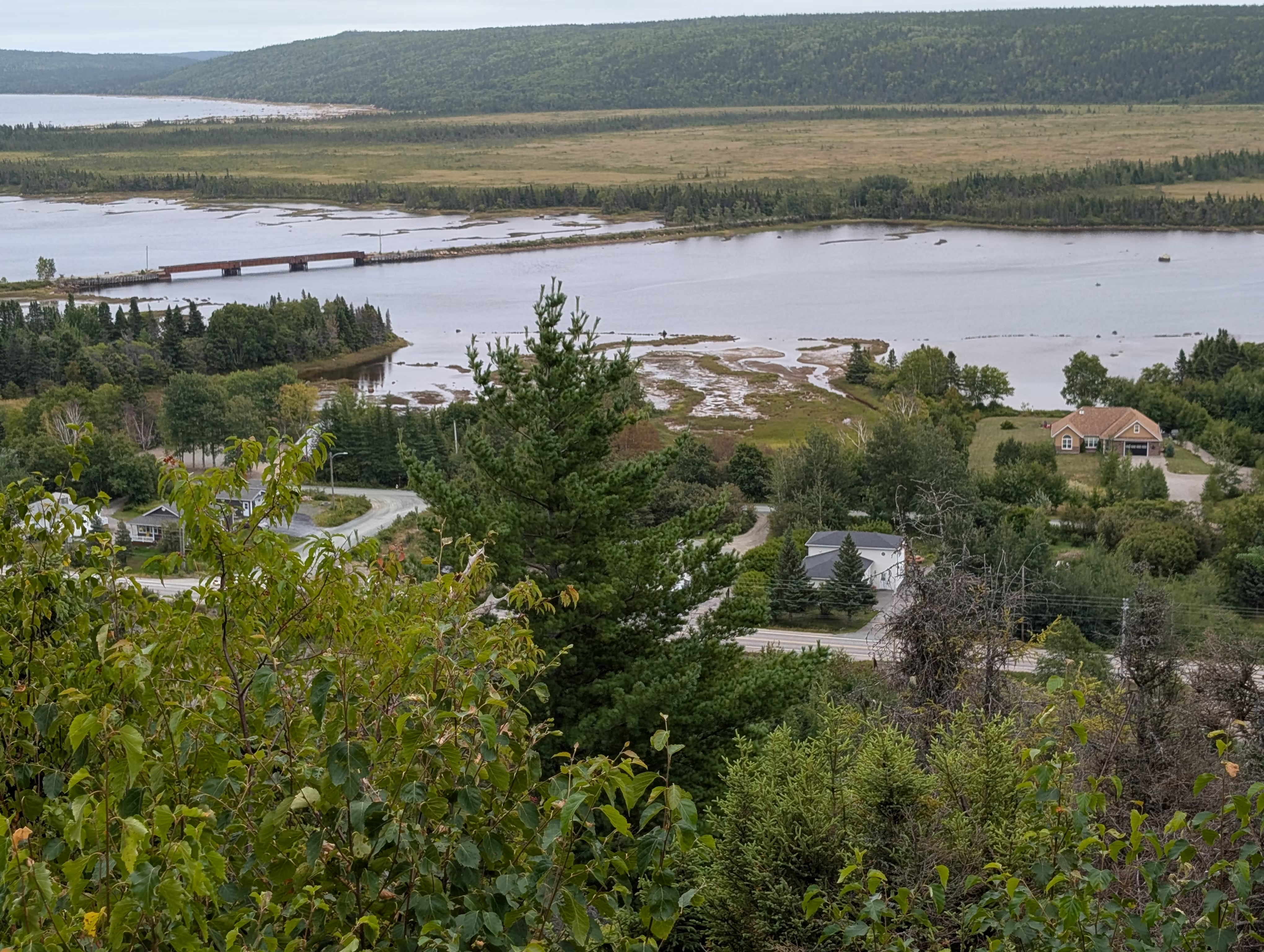
These were our tracks for Saturday, Aug 23
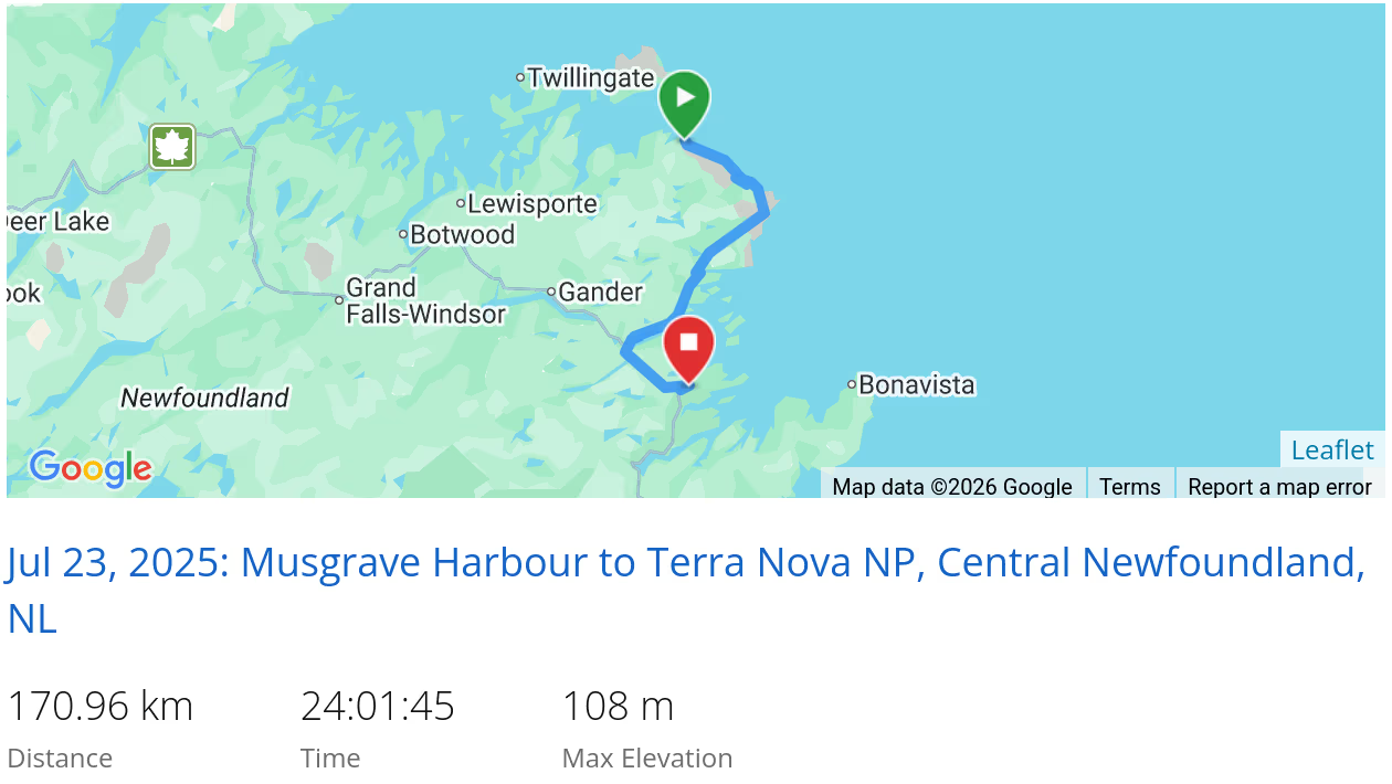 *click on the map for more details
That’s it for Central Newfoundland/Fogo Island
If we had more time, we would have:
- Had lunch, dinner or stayed a night at the Fogo Island Inn
- and some extra money for such an extravagence
- Hiked the Brimstone Head Hiking Trail and/or the Fogo Head Trail
- Spent some time on the Lumsden Beach
Next we are off to Eastern Newfoundland/Bonavista.
In case you had missed it, we came from Gros Morne National Park.
When we are travelling, our current location is always available and updated every 10 minutes