Central Labrador - 400 km - 2 days
July 29-30 was spent driving across Central Labrador stopping only to overnight and in Happy Vally - Goose Bay.
Cache Creek Pullout
This is where we overnighted on Monday. Not as pretty as some of the other places we have boondocked, but these pictures illustrate the scenery along the Trans-Labrador Highway, which is mostly trees:
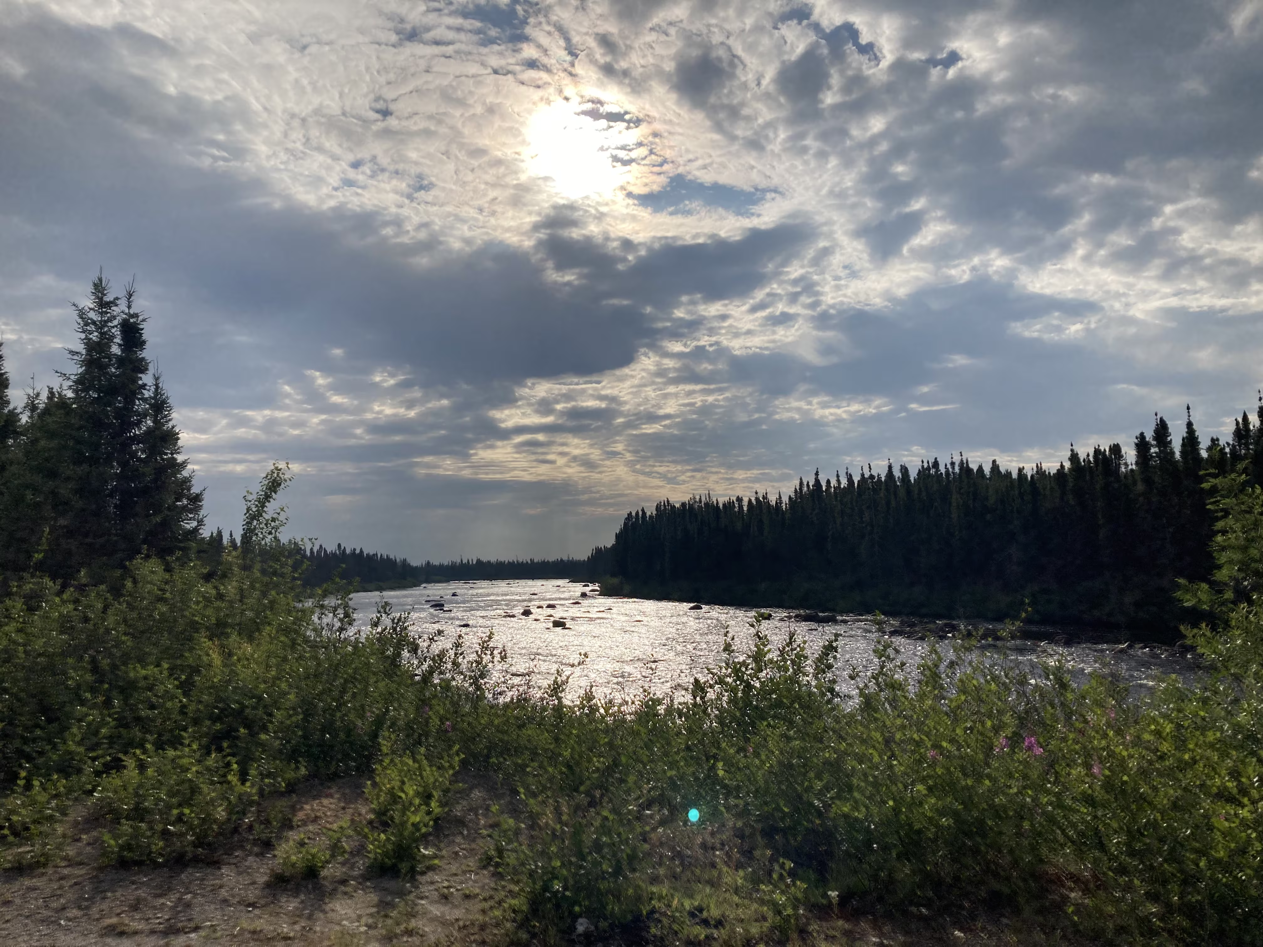
creeks and rivers:
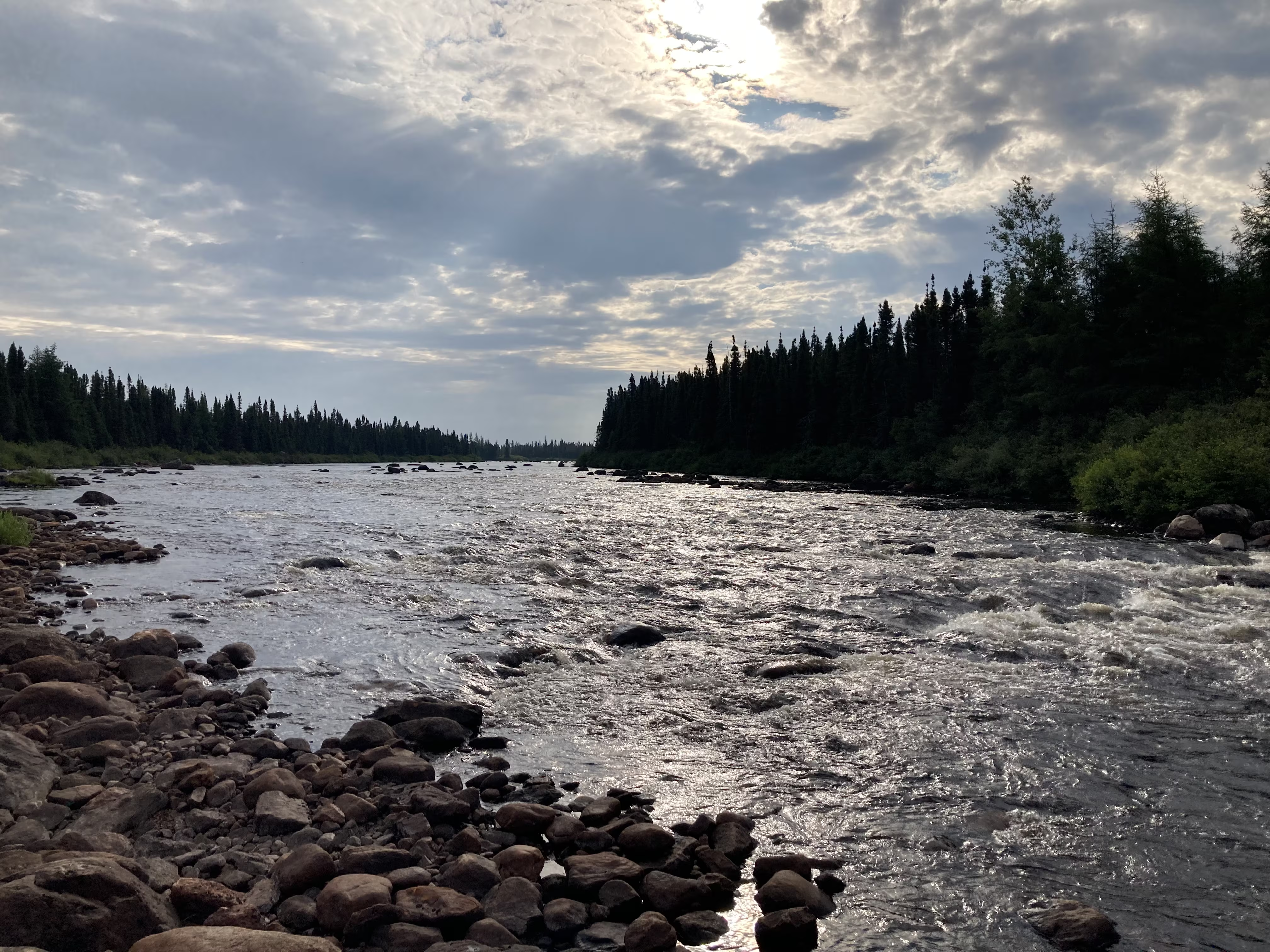
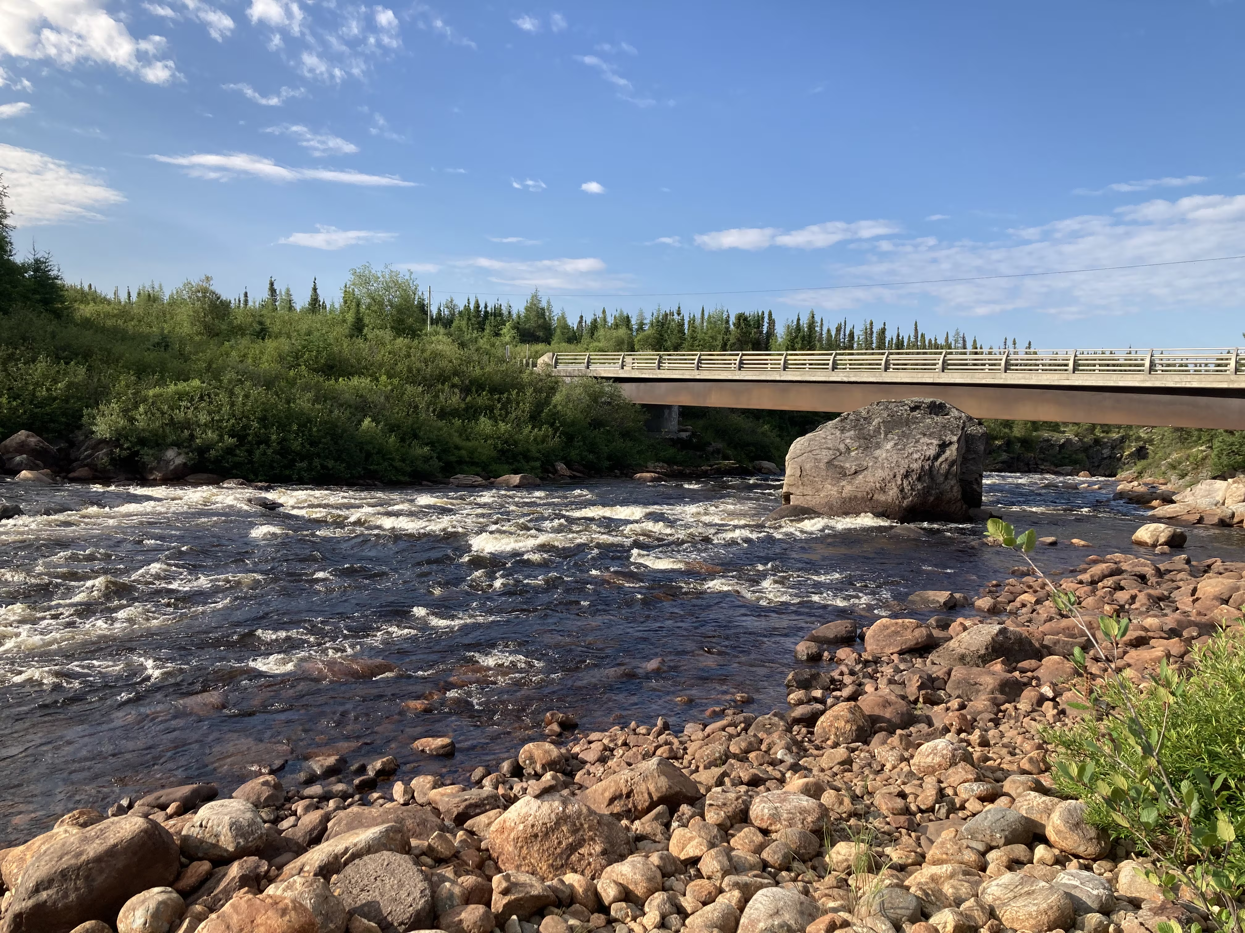
with the occasional bridge:
These are our tracks for Tuesday, Jul 29
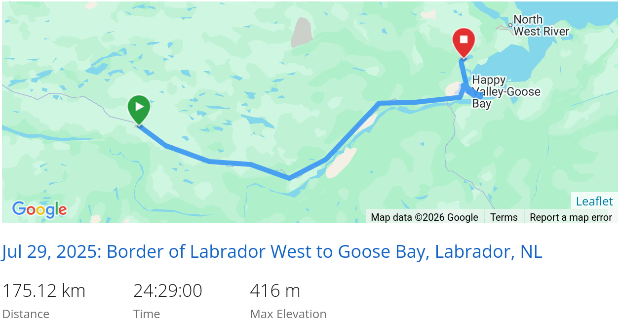 *click on the map for more details
Happy Vally - Goose Bay
Most of Tuesday was spent travelling to Goose Bay, doing laundry and replenishing supplies.
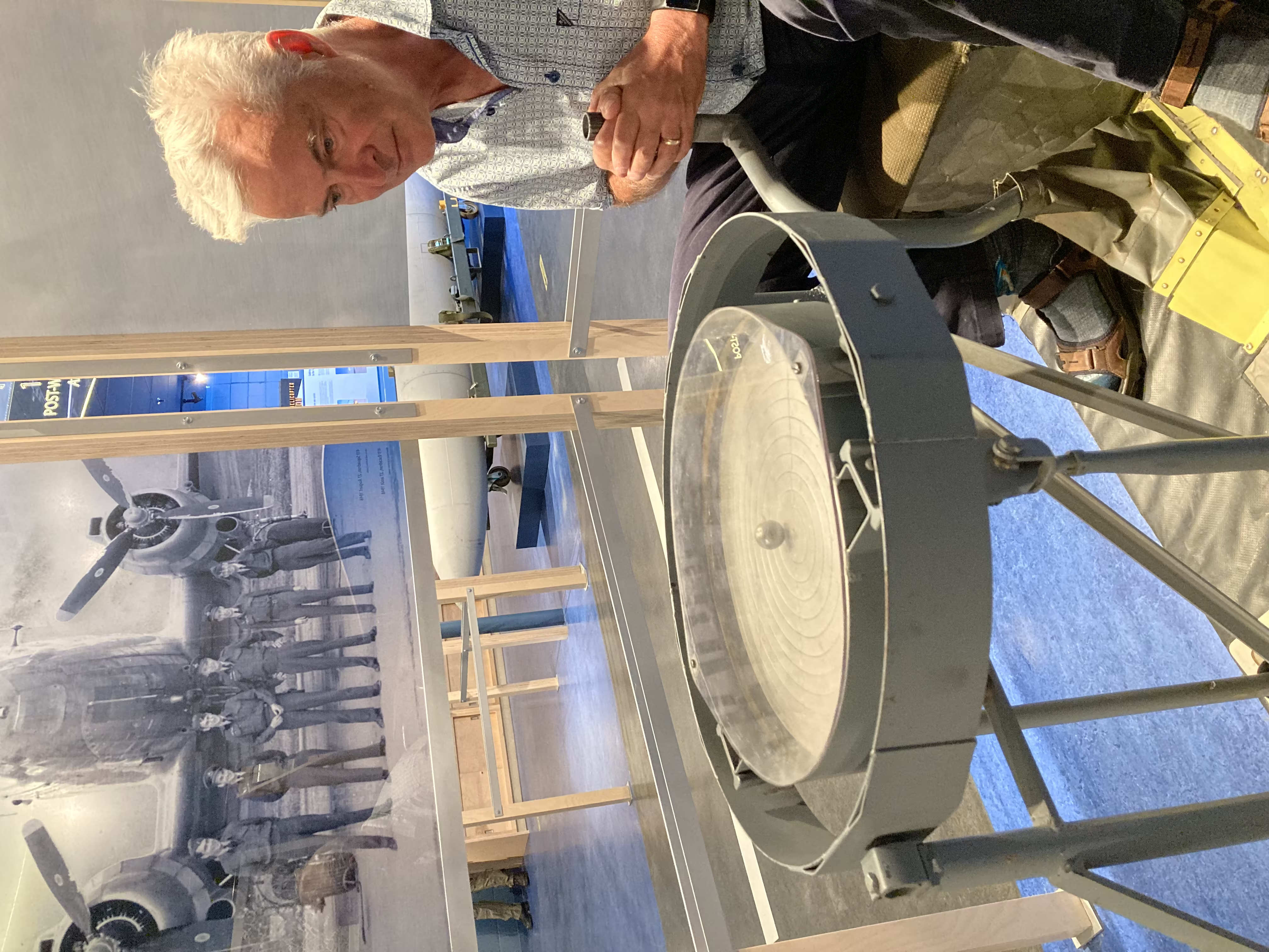
On Wednesday, we went to CFP Goose Bay:
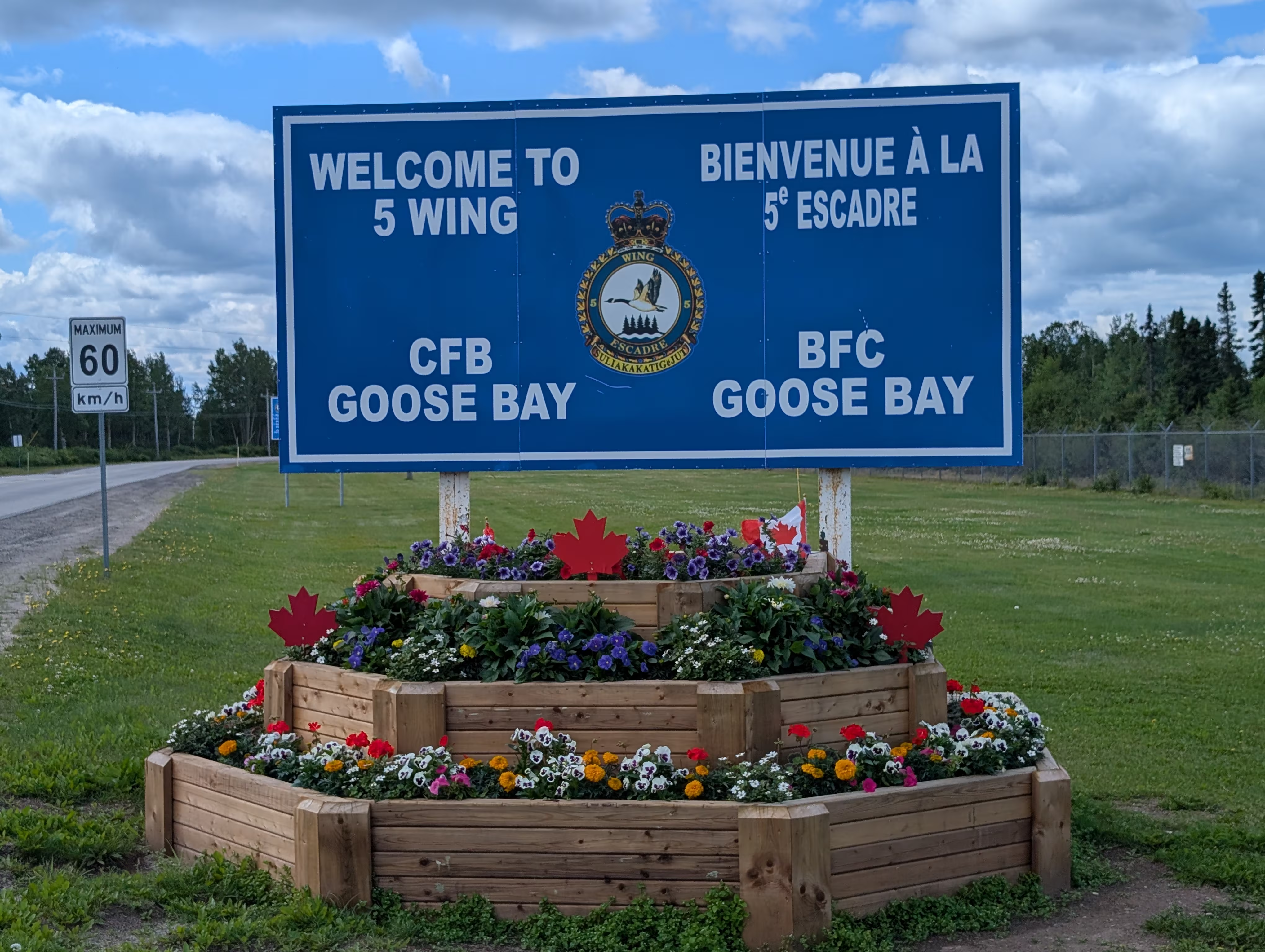
to visit the Labrador Military Museum, which has an interesting approach where after going up the stairs
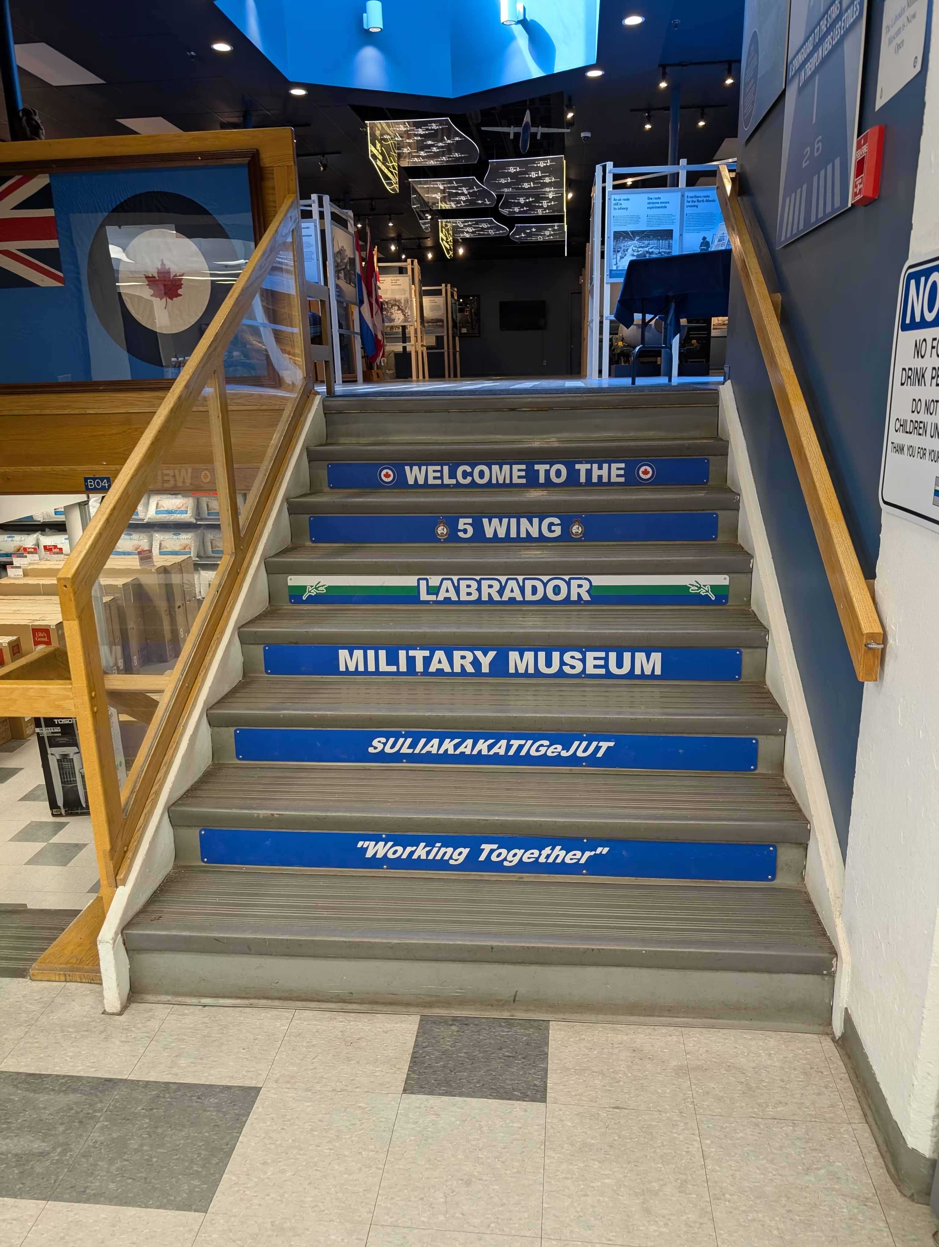
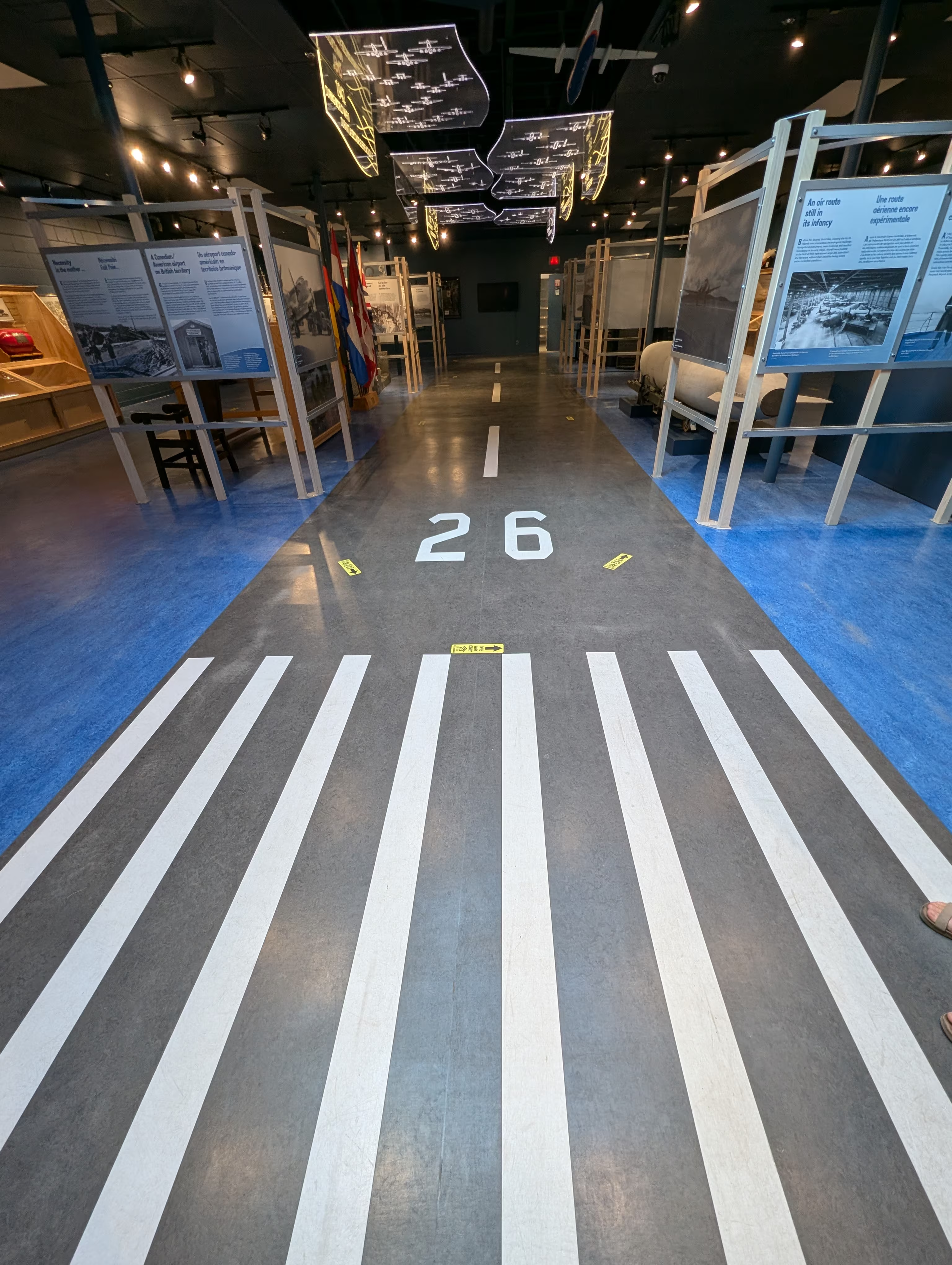
you are presented with the allusion that you are on a runway:
There is some Canadian memorabilia:
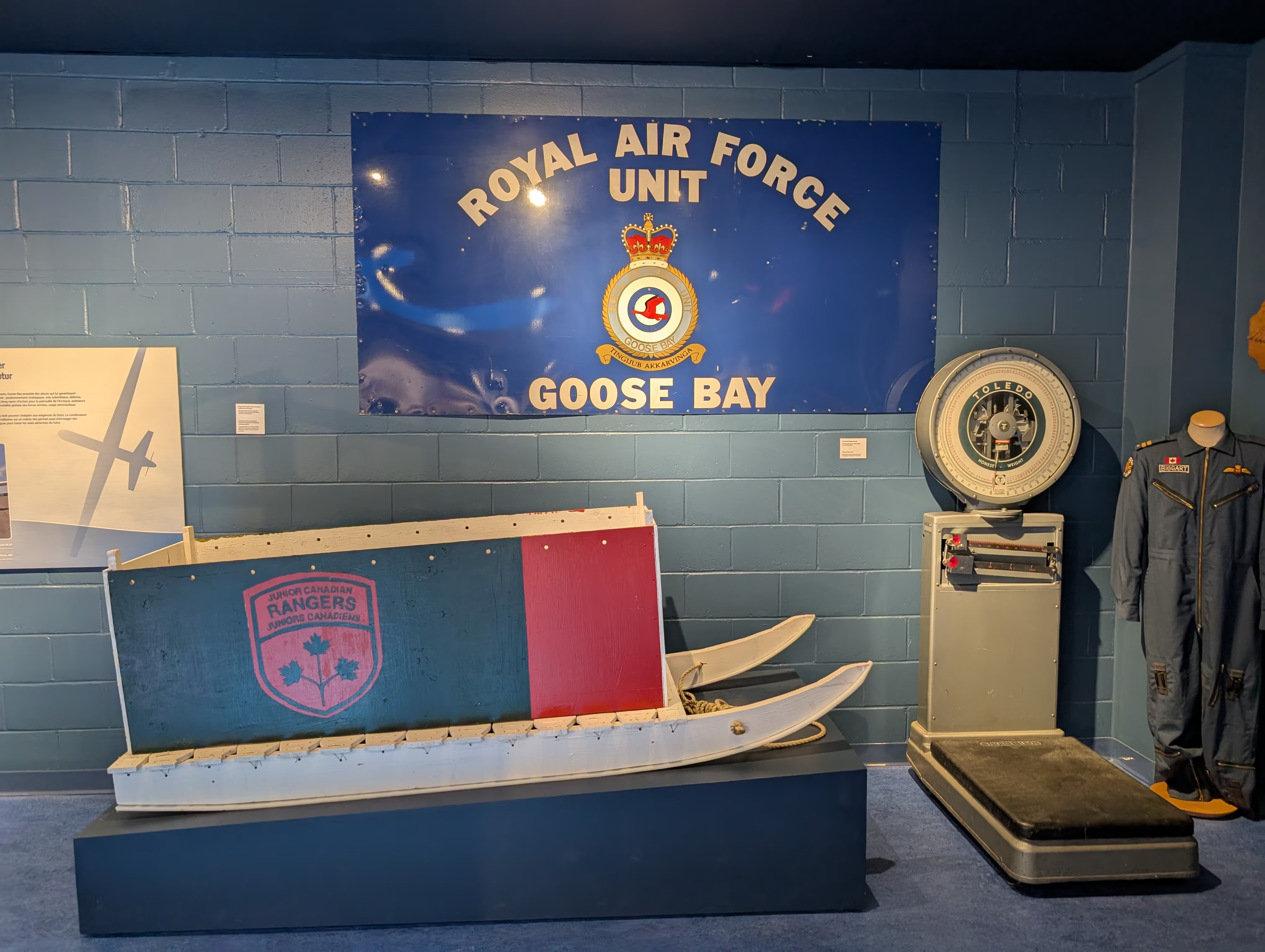
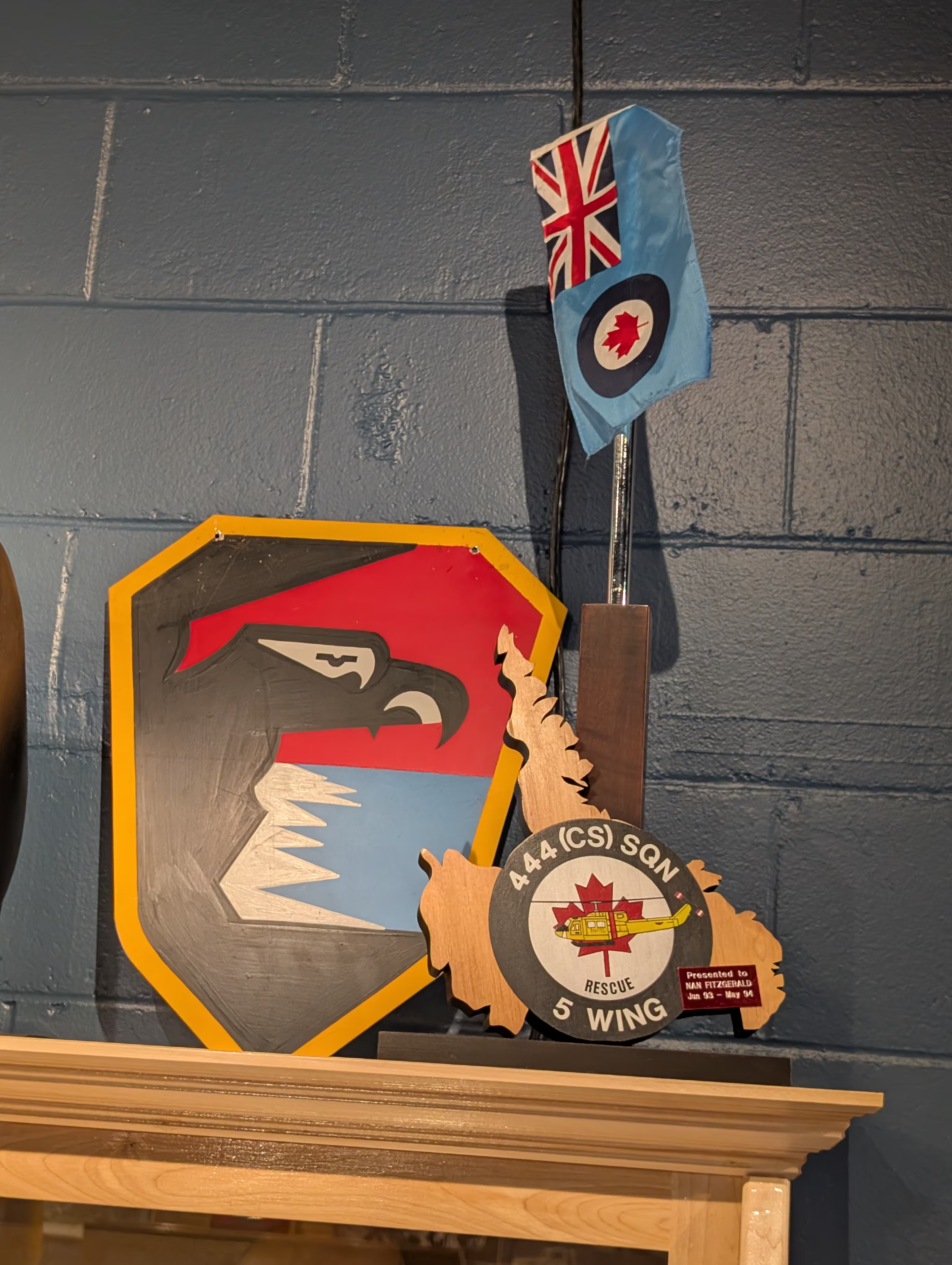
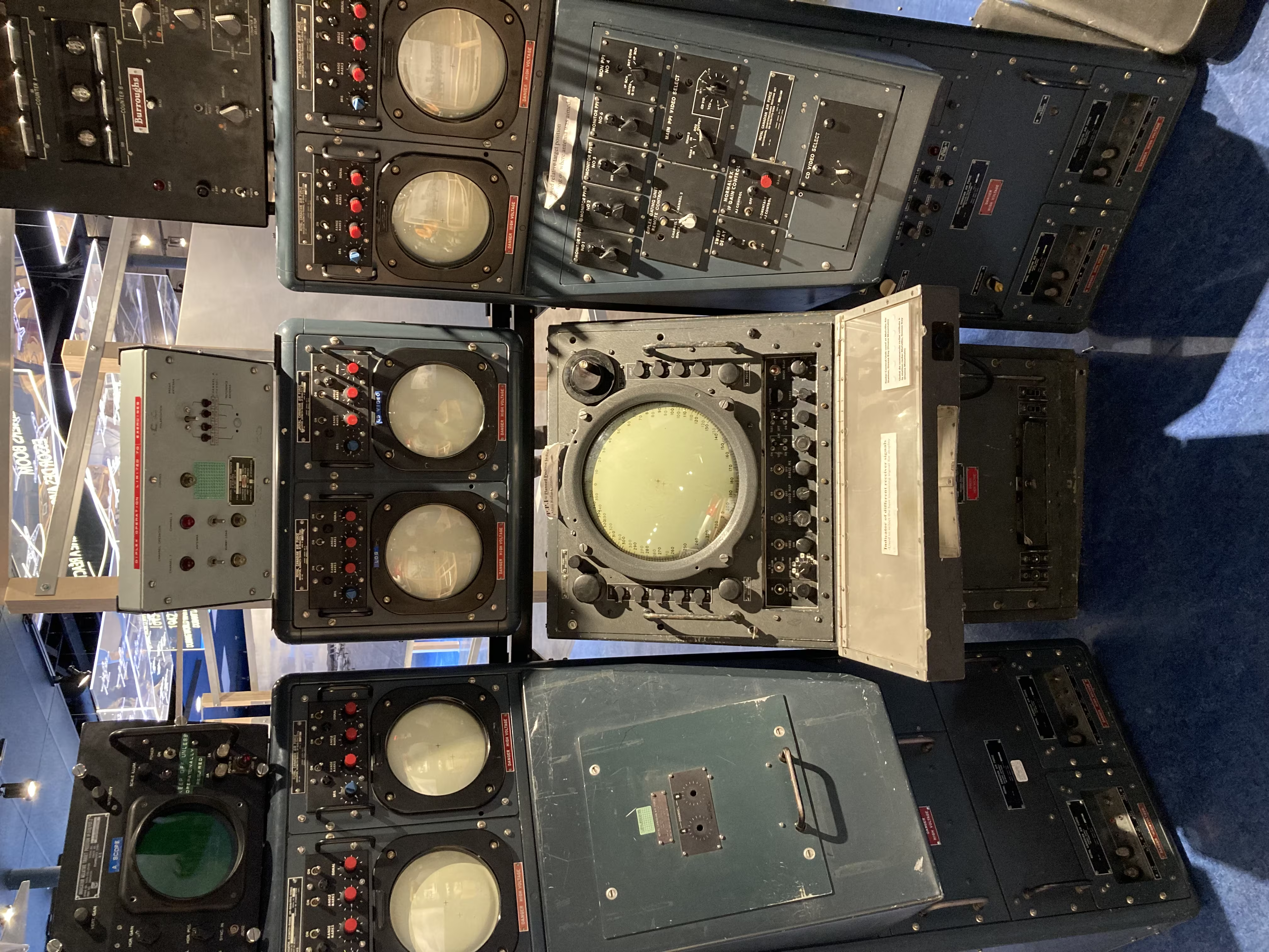
but most of the museum contents are of the American and British Air forces because, although it was built by the Canadian Air Ministry, it was done under pressure from those two countries who were searching for a stopping point for goods and planes before crossing the Atlantic to the UK.
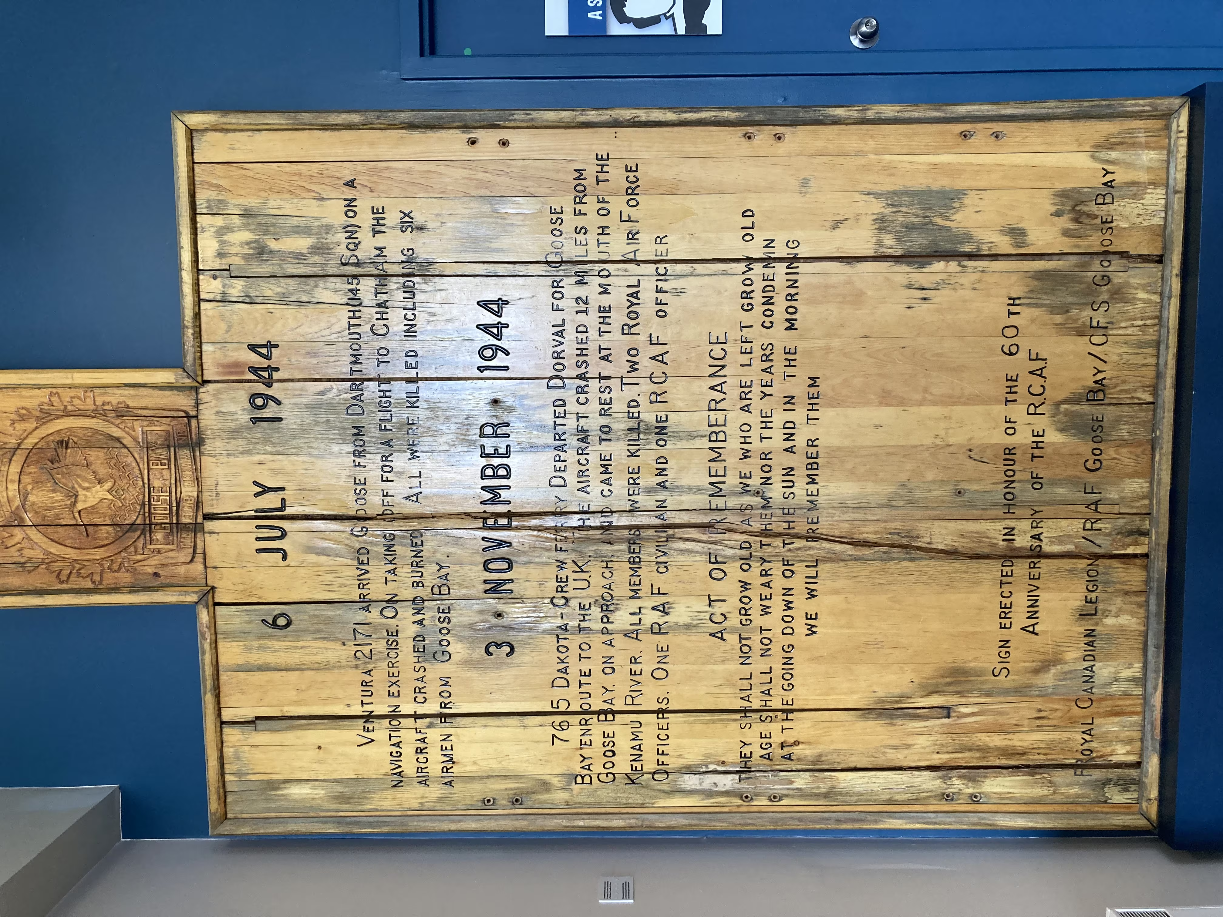
Goose Bay was chosen because:
- it was far enough north and east
- it had a flat solid plain
- created naturally by glaciers
- with good drainage because there was little silt build up
- it was close to a natural deep water harbour
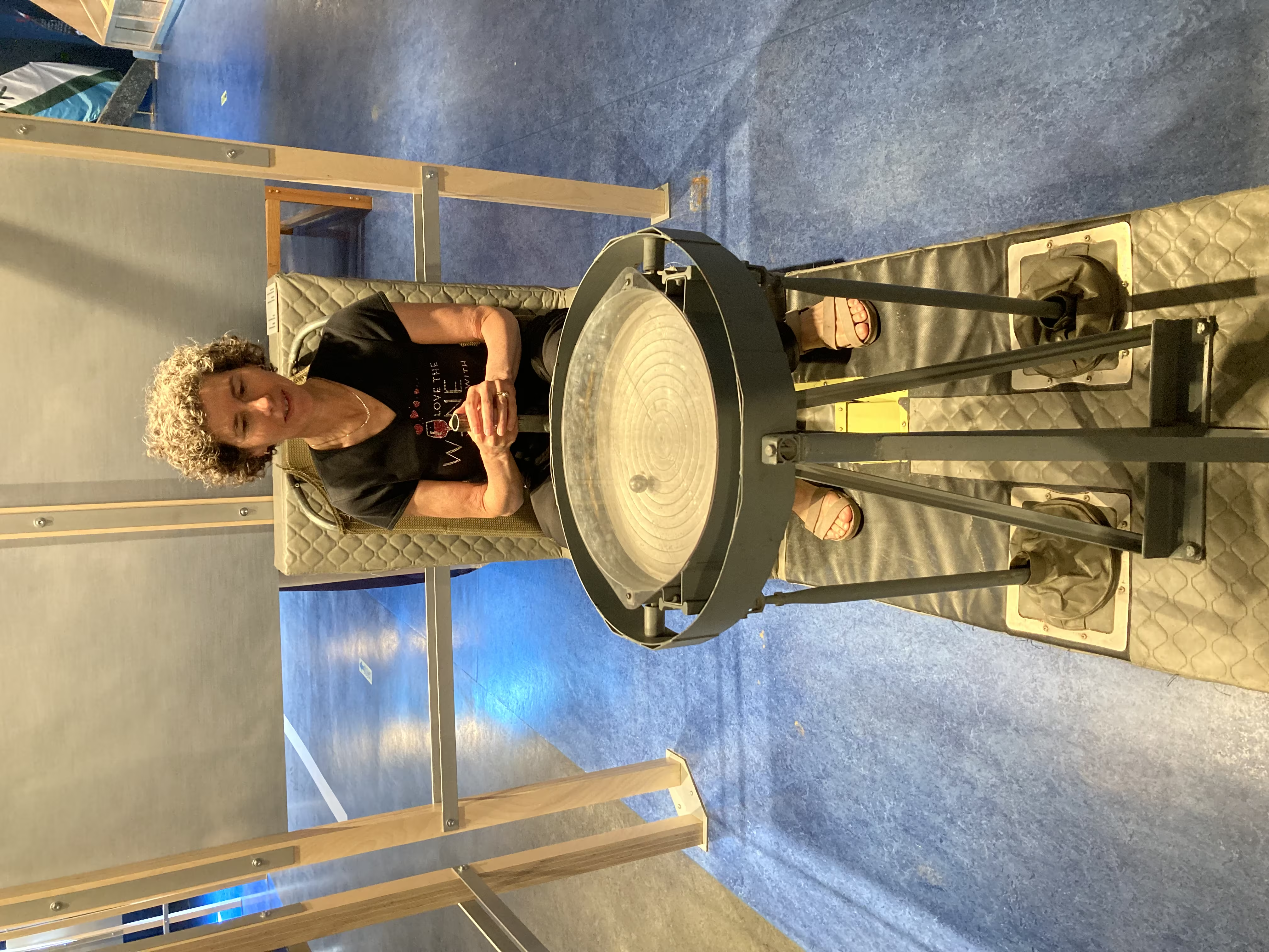
Here are Gail and Henry training to be helicopter pilots:
These are our tracks for Wednesday, Jul 30
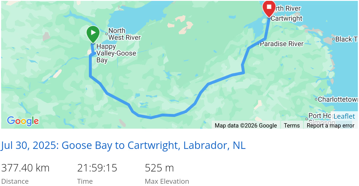 *click on the map for more details
That’s it for Central Labrador
Next we are off to the Southeast Coast.
In case you had missed it, we came from Labrador West.
When we are travelling, our current location is always available and updated every 10 minutes