Southeast Coast (Labrador) - 600 km - 3 days
July 31st to August 2nd were spent on the Southeast Coast of Labrador visiting Cartwright, Mary’s Harbour, an iceberg and Battle Harbour.
Cartwright
We wanted to go to Cartwright because it is the most northerly highway accessible town in Labrador (and on our trip). However, there are no gas stations along the 400 km stretch of the Trans-Labardor Highway between Goose Bay and Port Hope Simpson, and a side trip to Cartwright adds 200 km, which is uncomfortably close to the range of Sleepy Hollow’s gas tank. After much research we determined that there probably was a (marine) gas station in Cartwright and that we would risk the visit. Thankfully there was a gas station and furthermore, its prices were similar to those in Goose Bay (and a lot cheaper than what we paid in Manicougan halfway between Baie-Comeau and Labrador City).
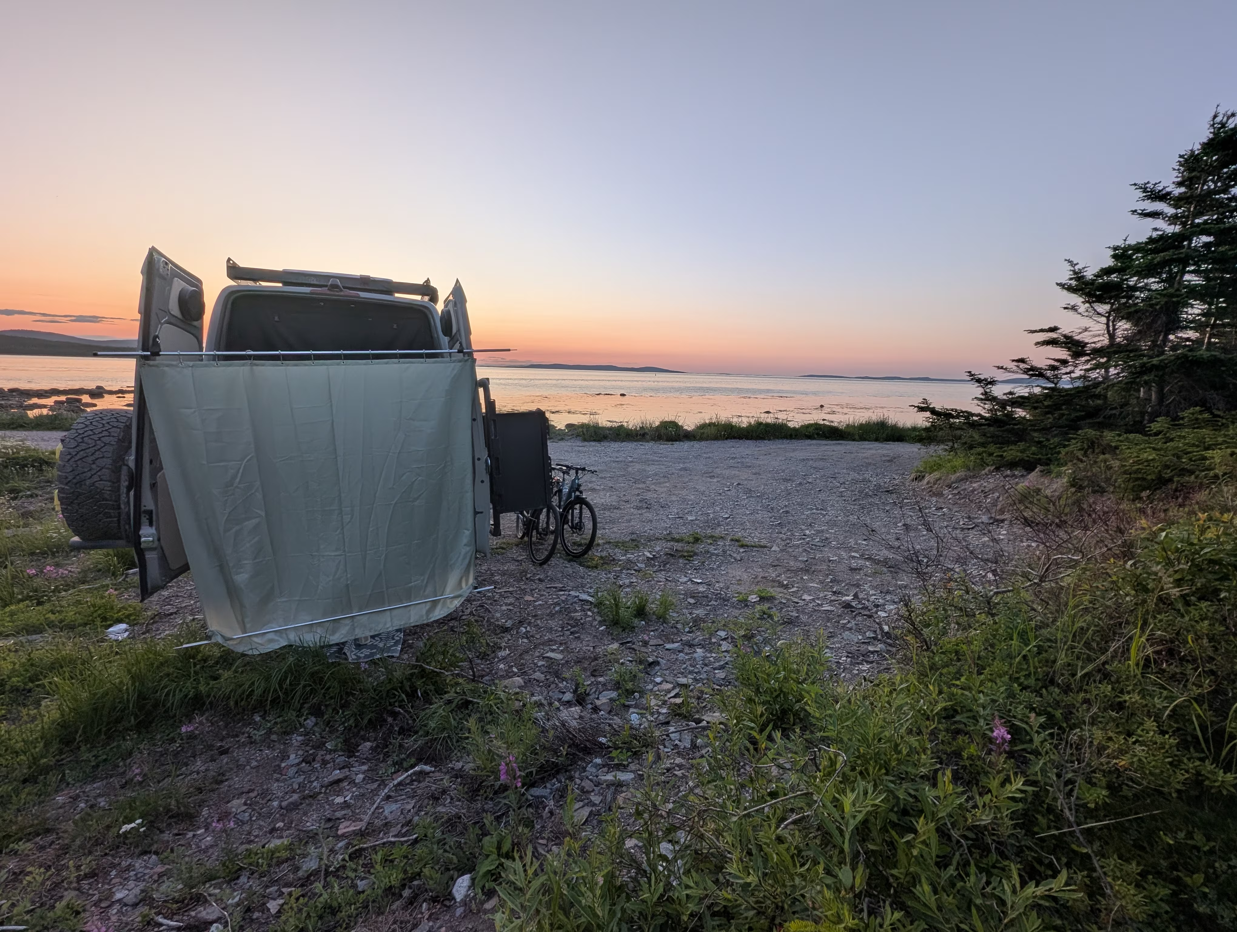
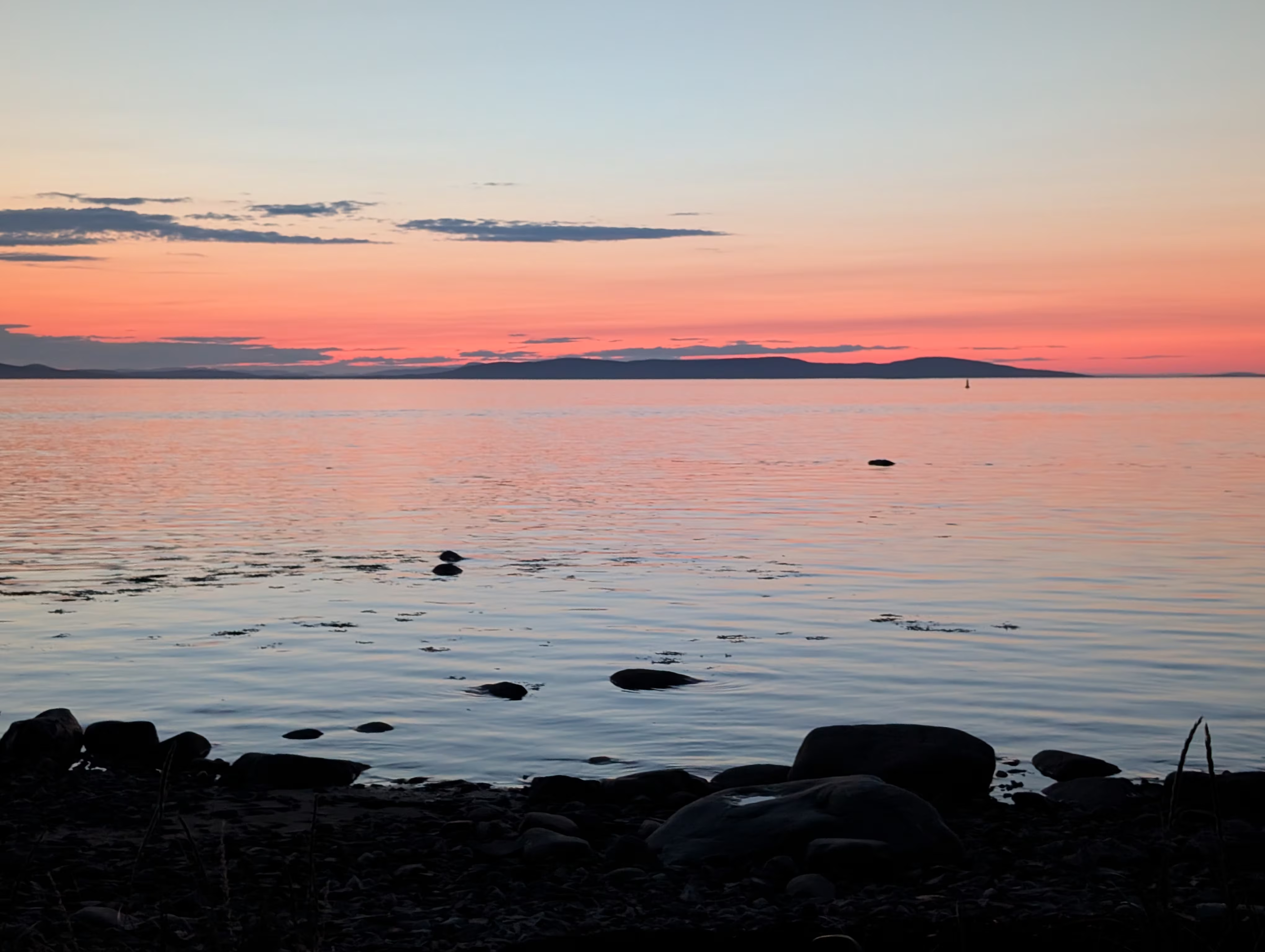
Our overnight was in the parking lot at a trail head that had a beautiful view of the sunset and sufficeint privacy for a shower:
Thursday, we spent exploring Cartwright including visiting the remains of the Cartwright Air Station which was part of the Pinetree Line of radar stations built by the US Air Force within Canada running just north of US border.
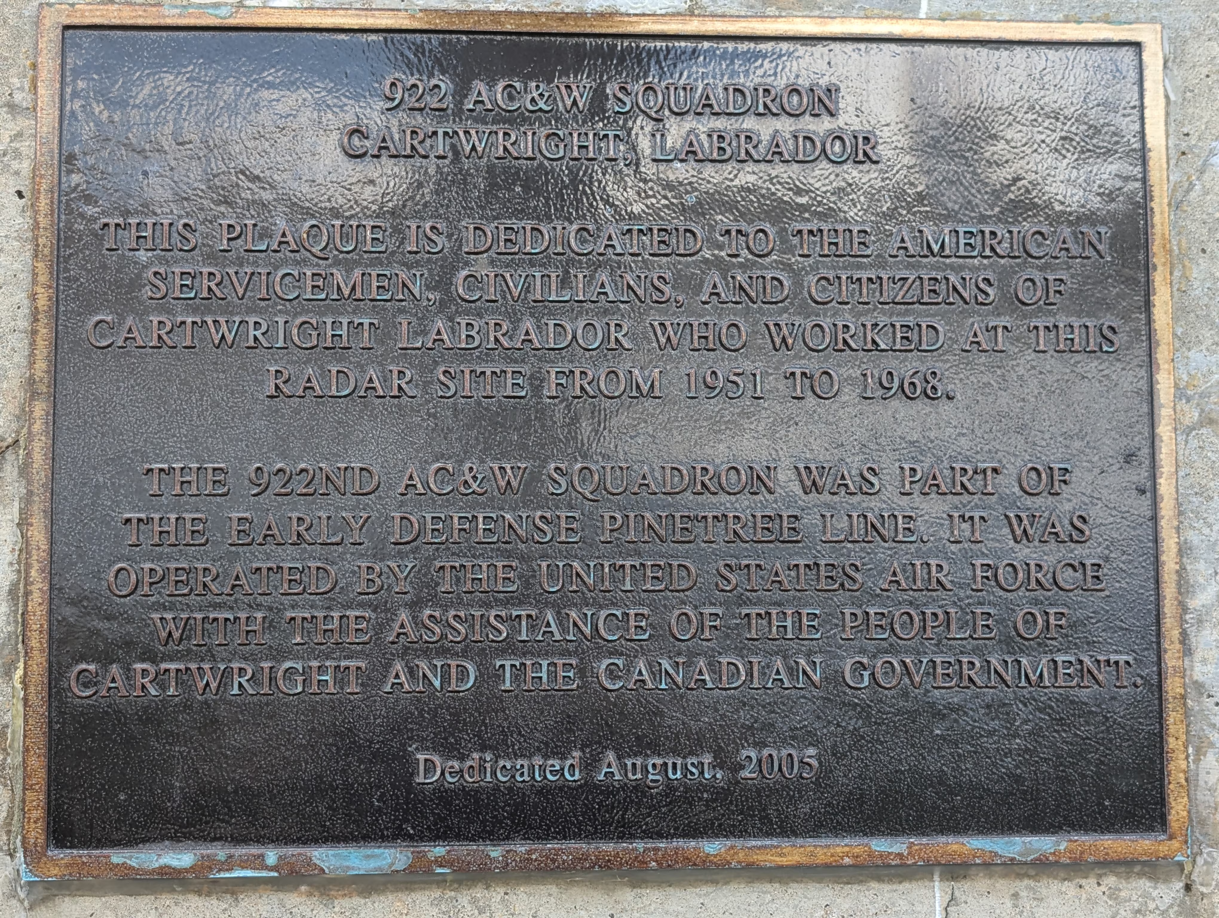
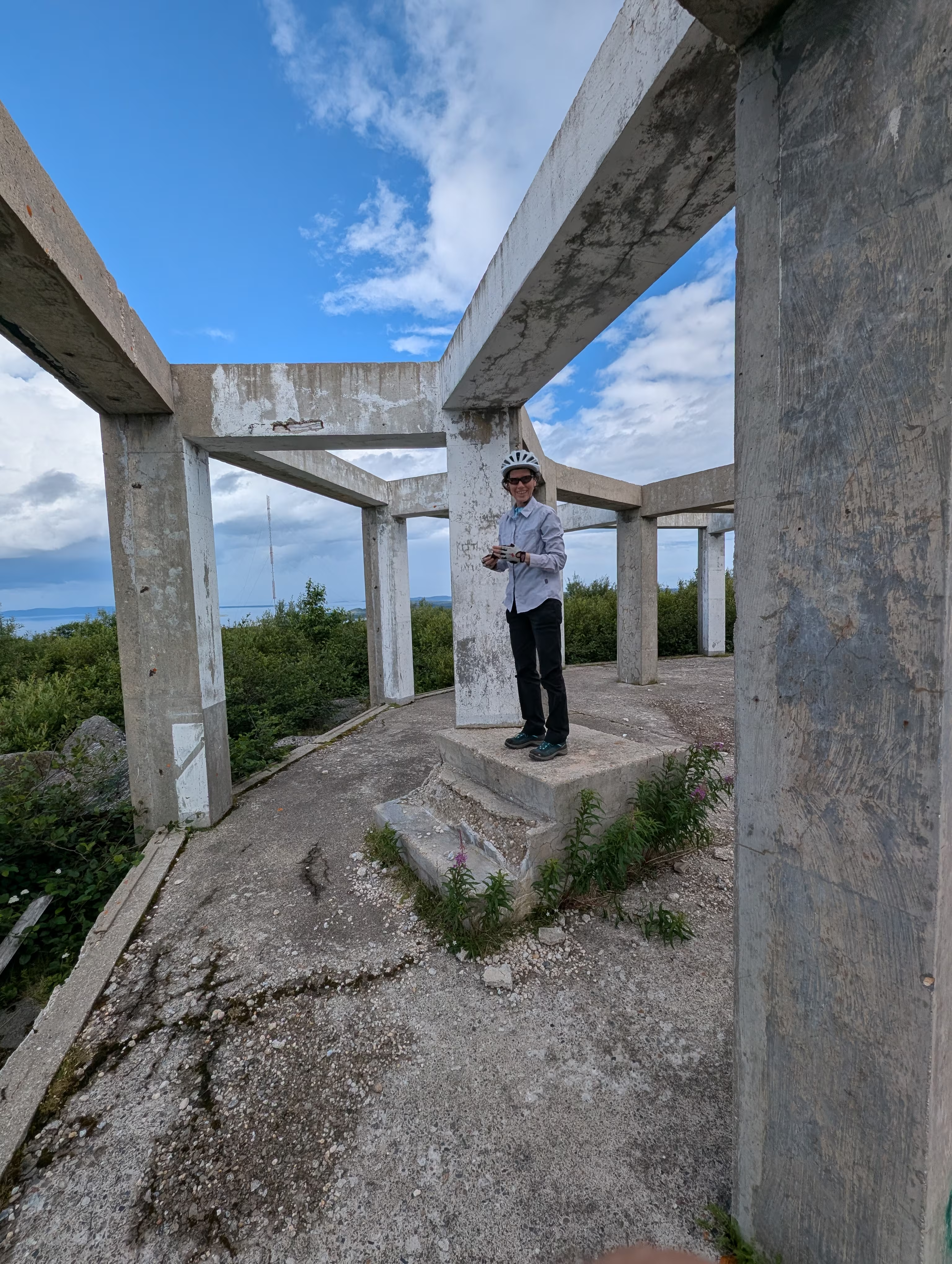
Since height improves the effectiveness, the station was built on the highest point in the area with commanding views all around.
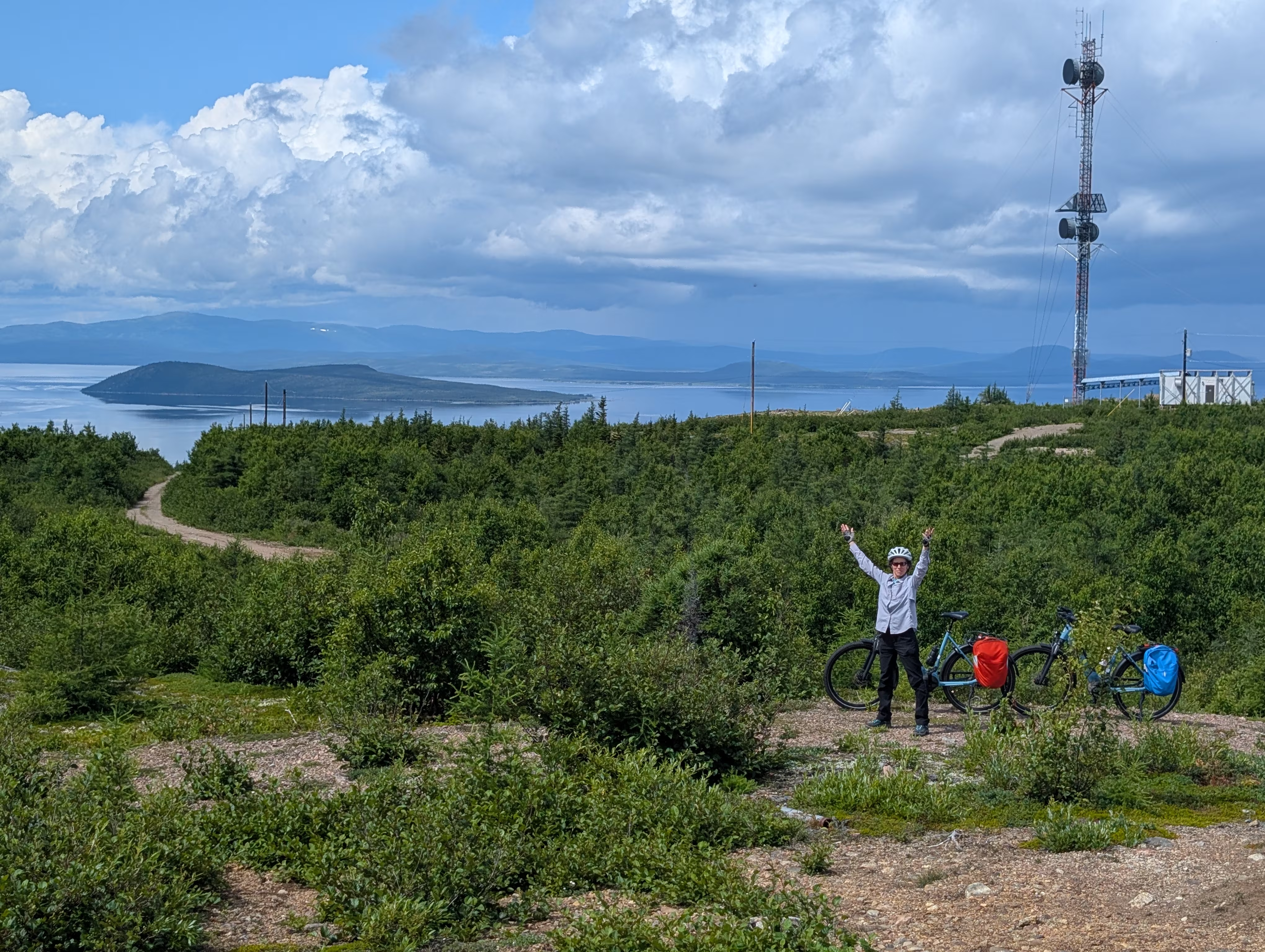
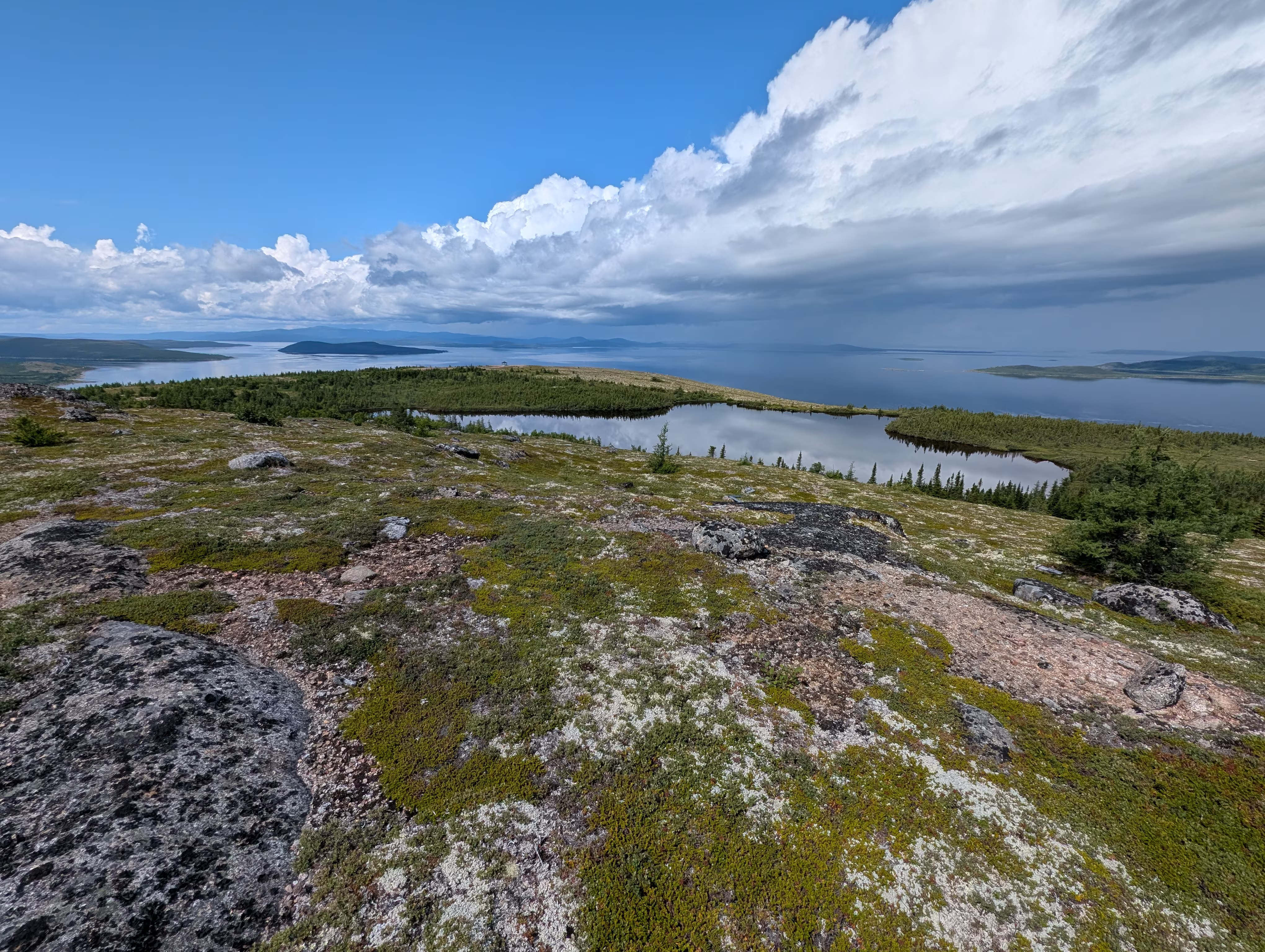
What I failed to mention is that we rode our e-bikes up four-wheel drive access road (with a 150 m vertical gain), which proved challenging in parts. I also failed to take pictures of the road.
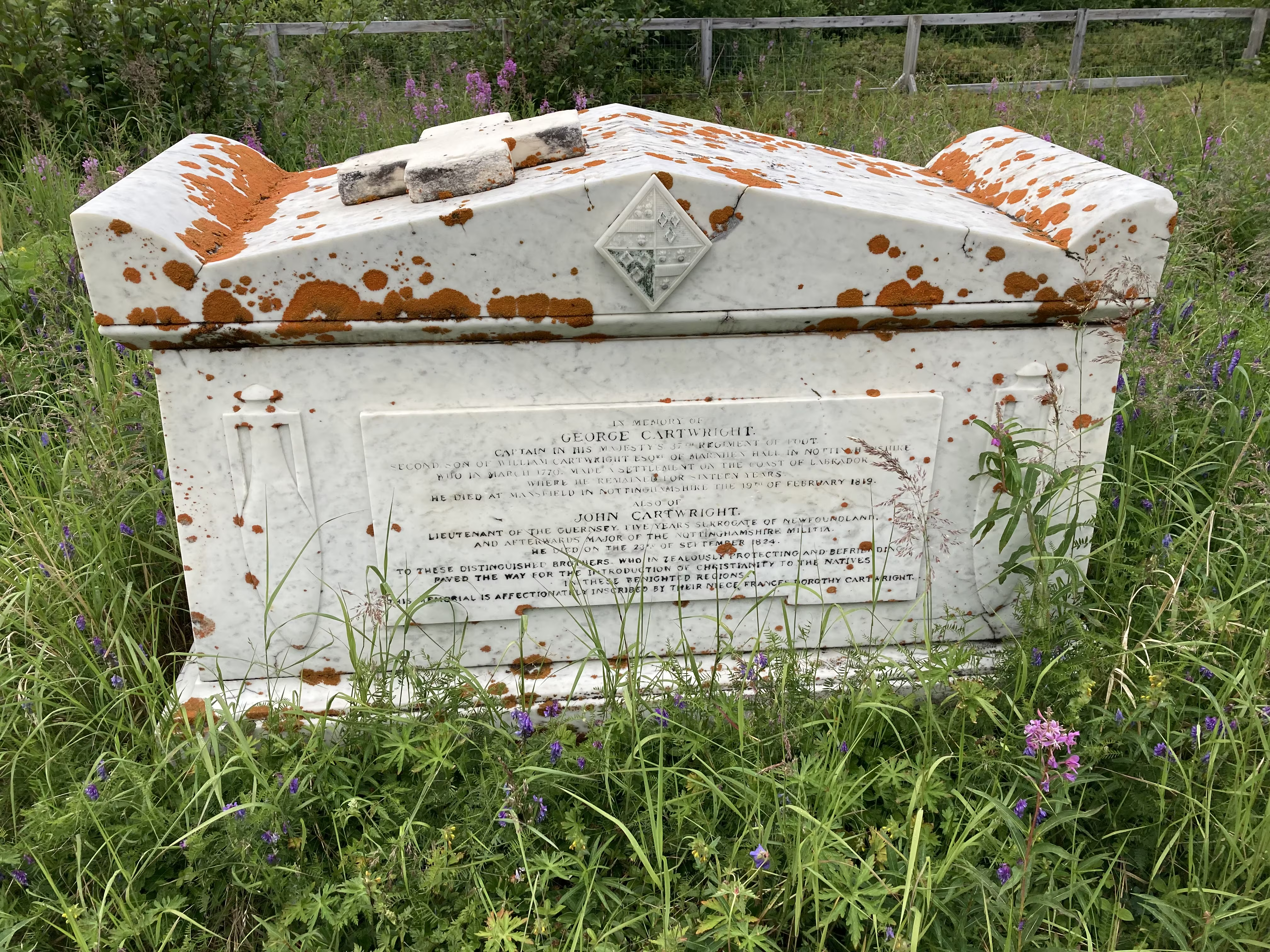
On our return from the air force station (it was much easier riding downhill) we stopped by the cemetary which had a monument to Captain George Cartwright for whom the town is named:
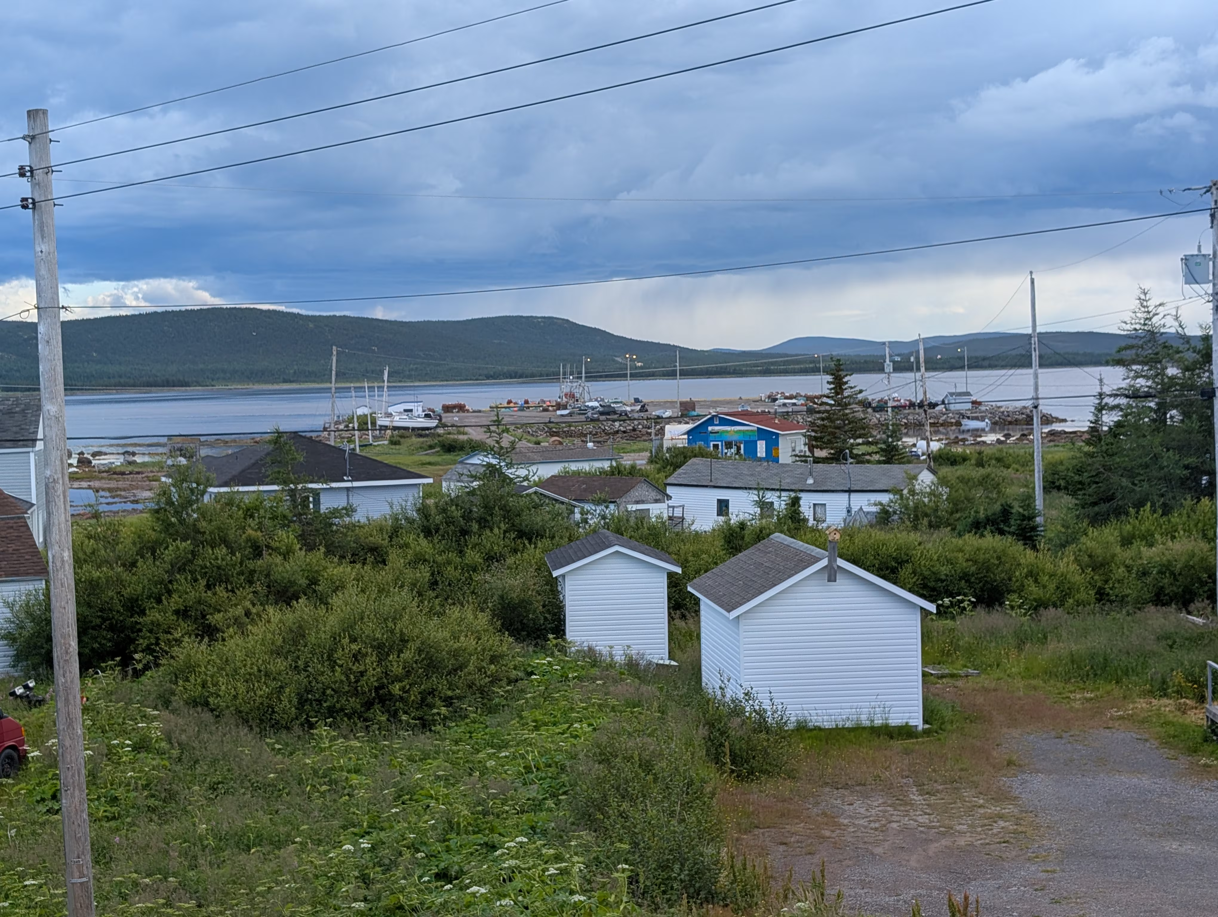
The monument has a nice view of Cartwright:
Shortly after we returned to Sleepy Hollow, we got a surprise hail storm:
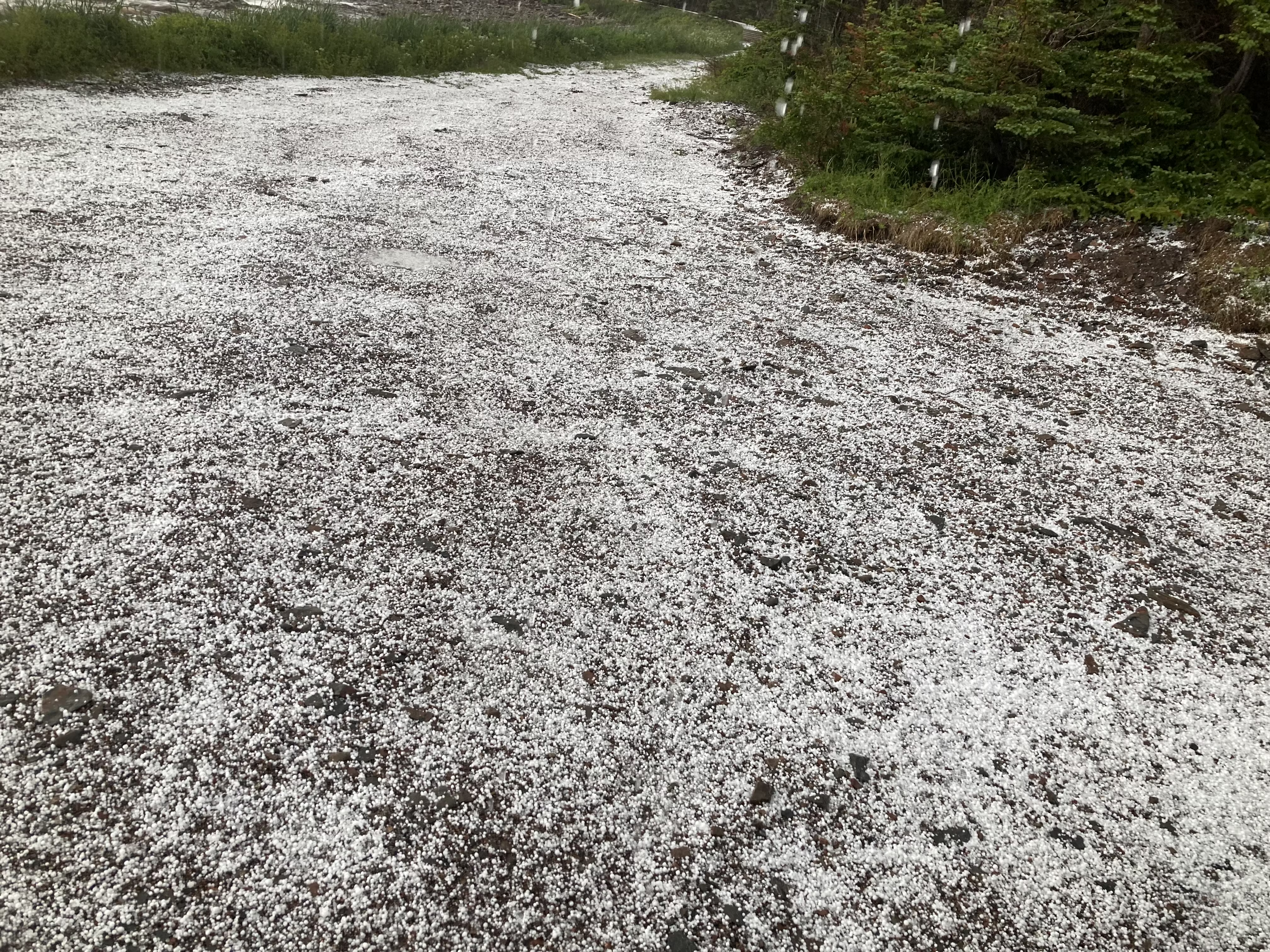
with decent sized hail stones:
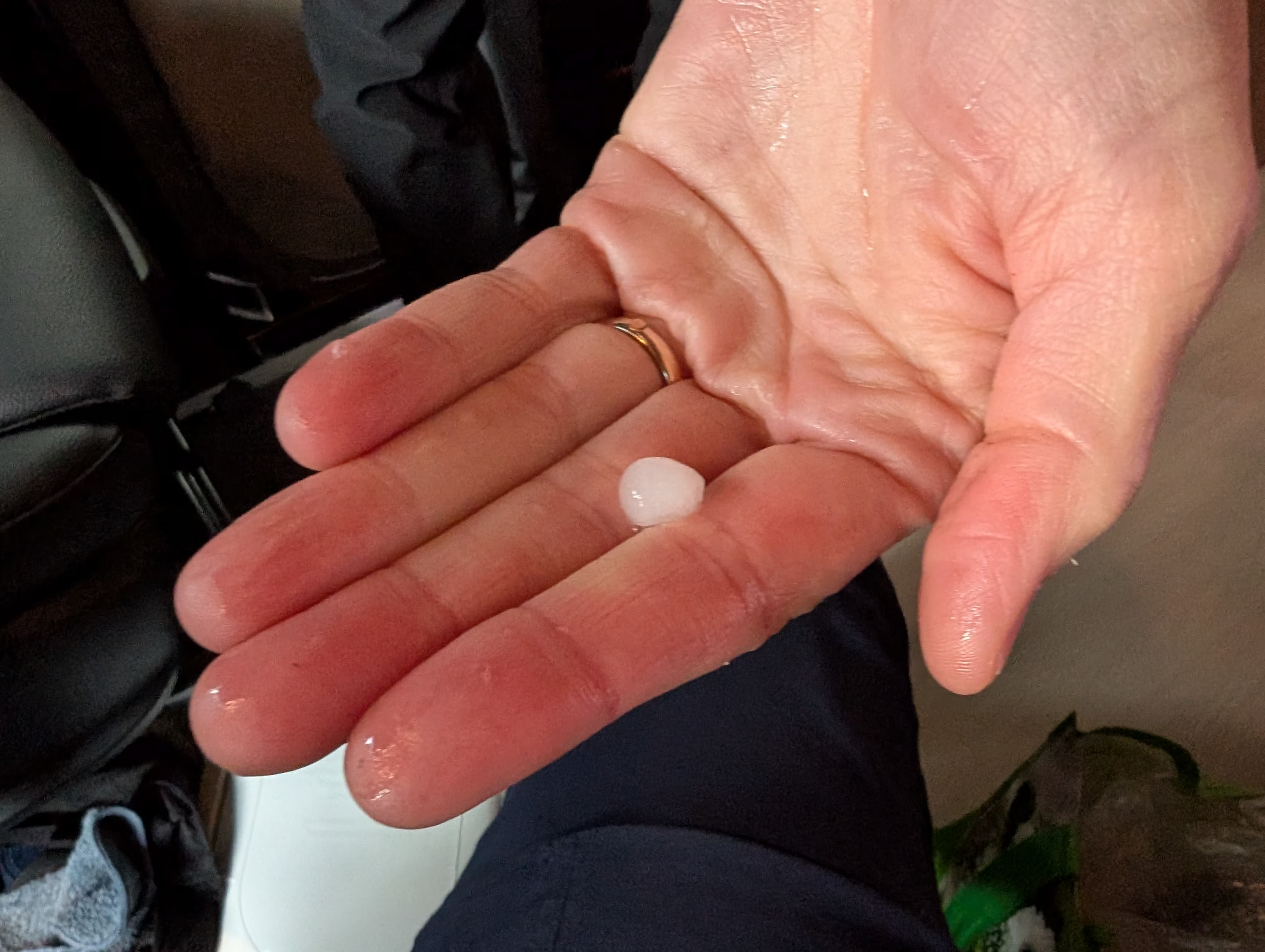
Like many hail storms, it cleared quickly, which gave Henry the time to climb up Flagstaff Hill:
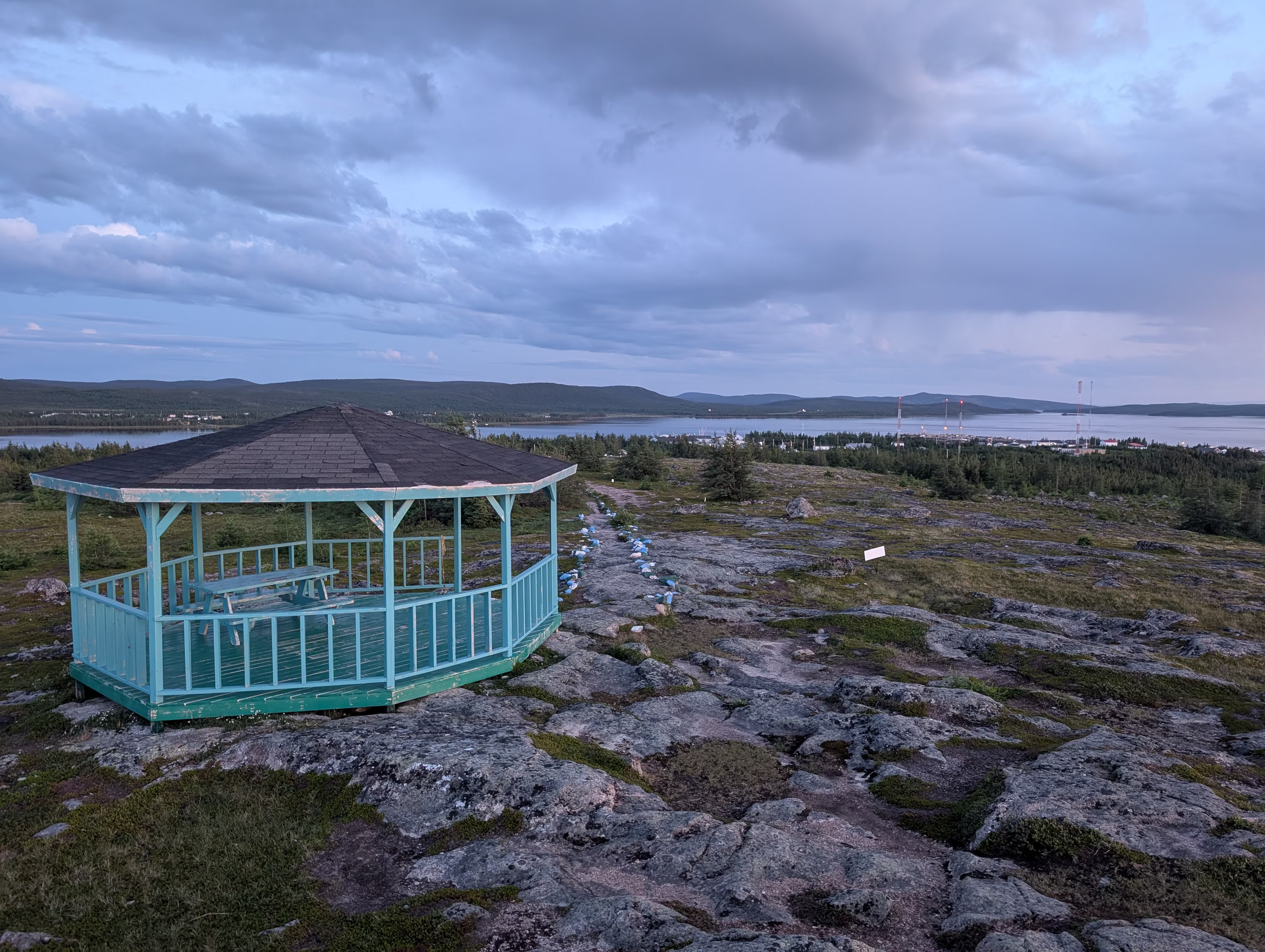
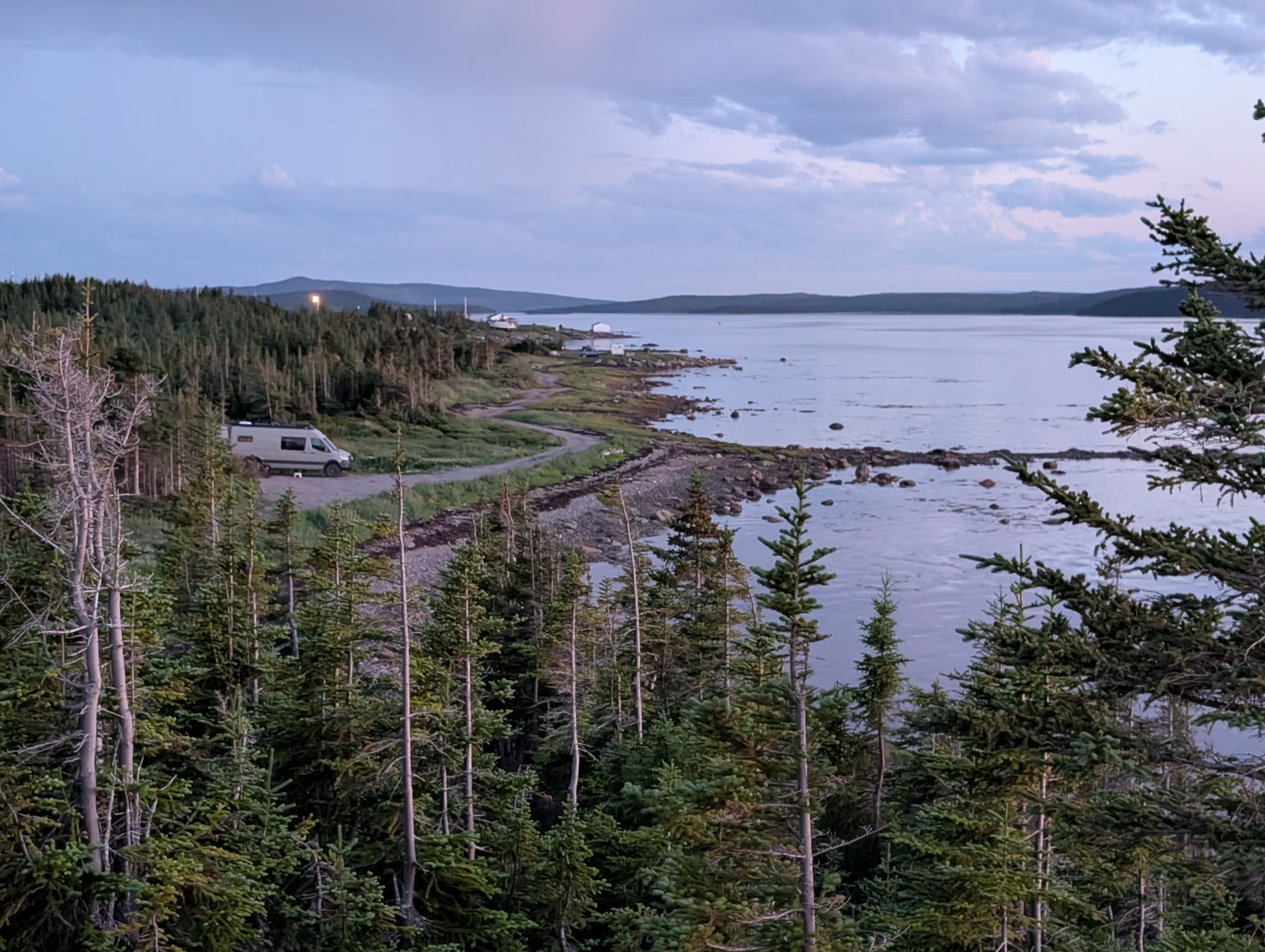
where he got a nice view of Sleep Hollow:
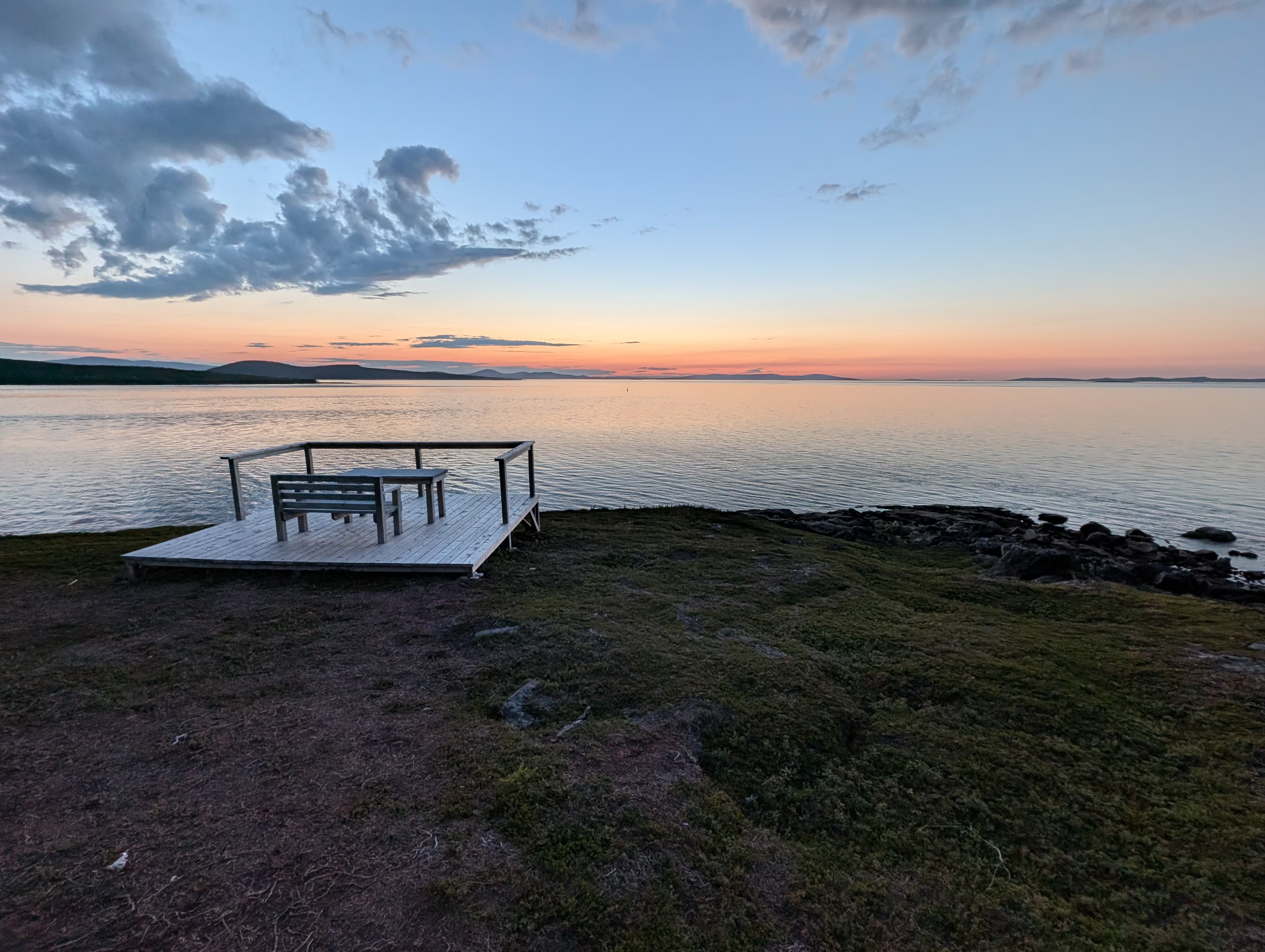
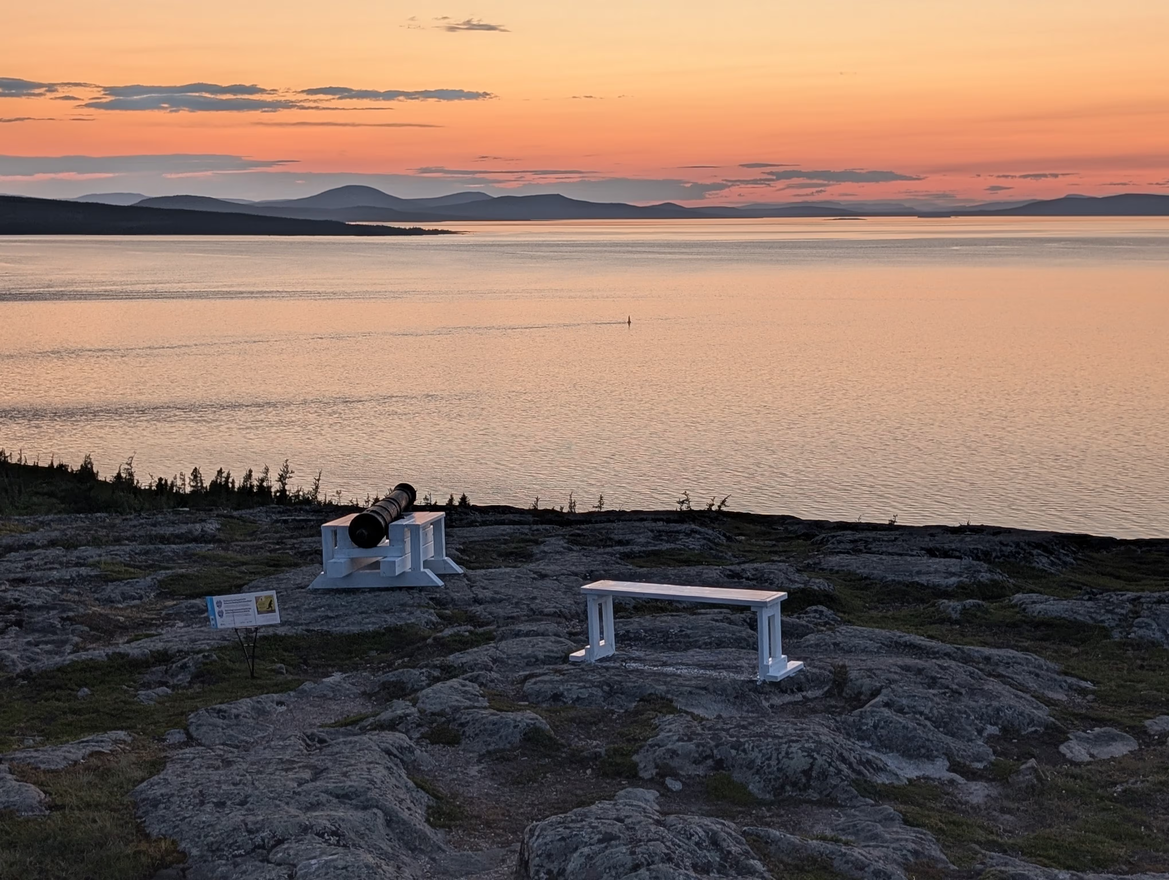
and many views of a gorgeous sunset:
These are our tracks for Thursday, Jul 31
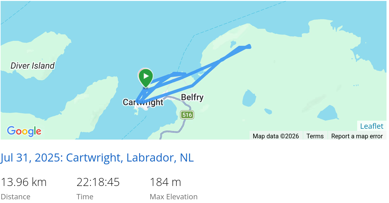 *click on the map for more details
Marys Harbour
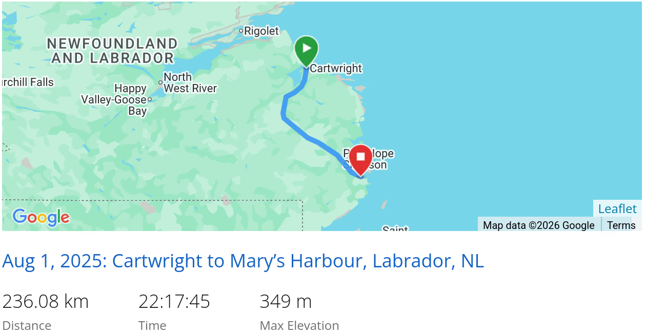
On Friday we travelled to Mary’s Harbour:
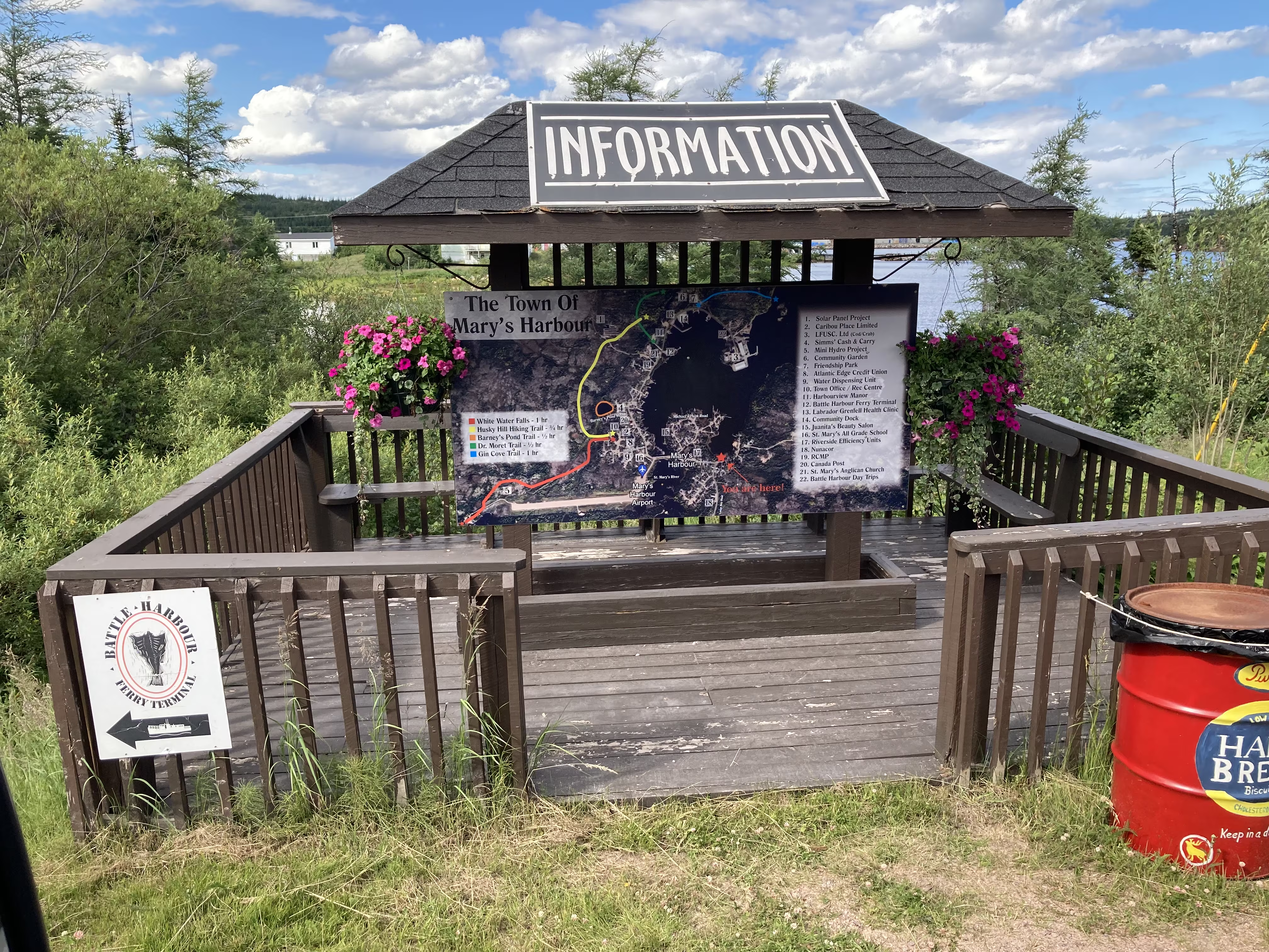
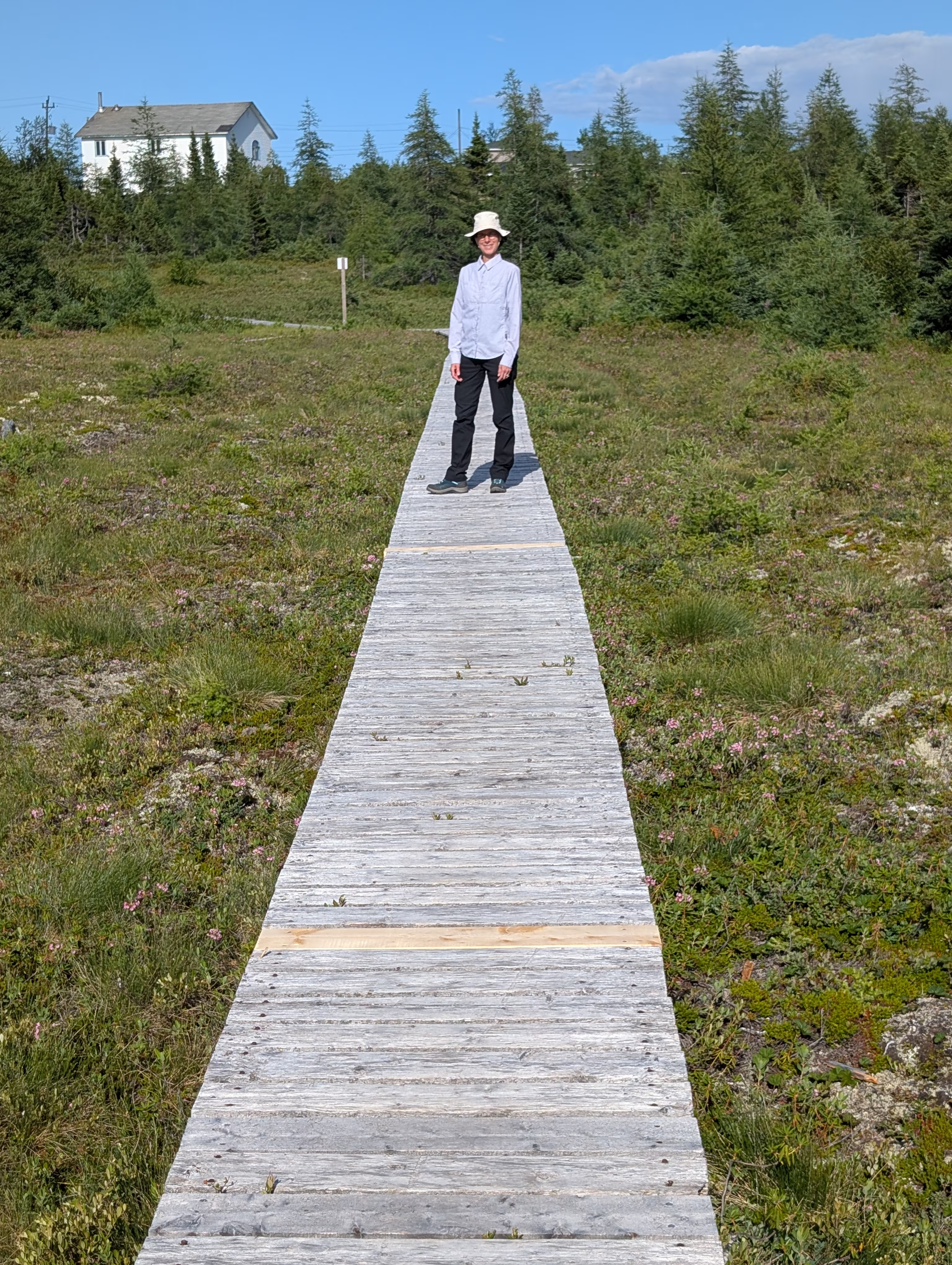
We arrived in time for a short White Water Falls Trail hike
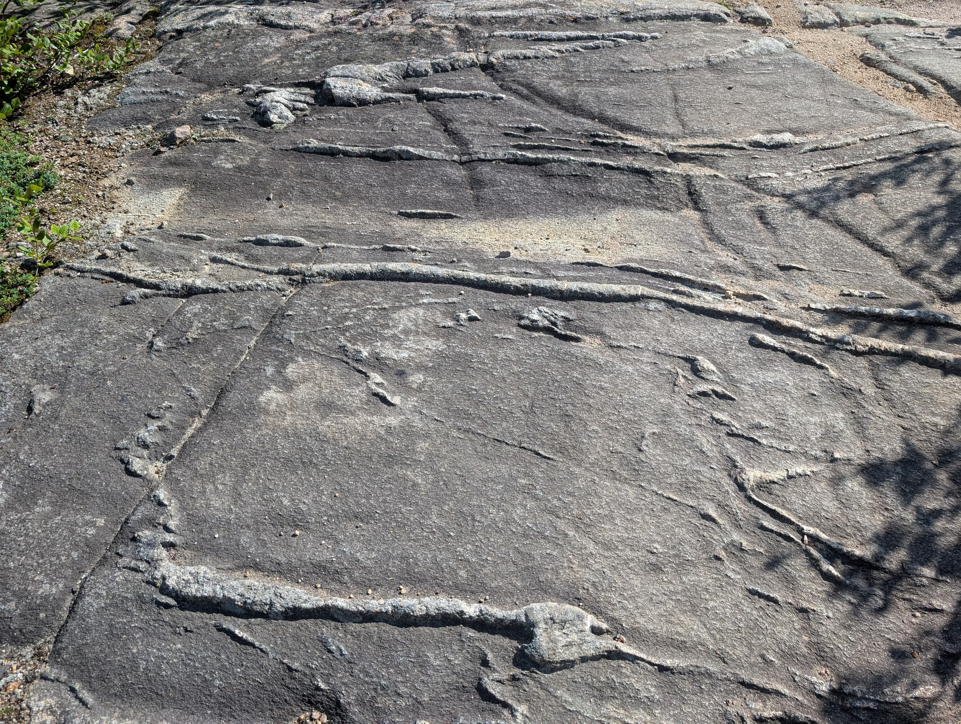
where we saw some unusual formations in the rock:
before we got to the falls themselves:
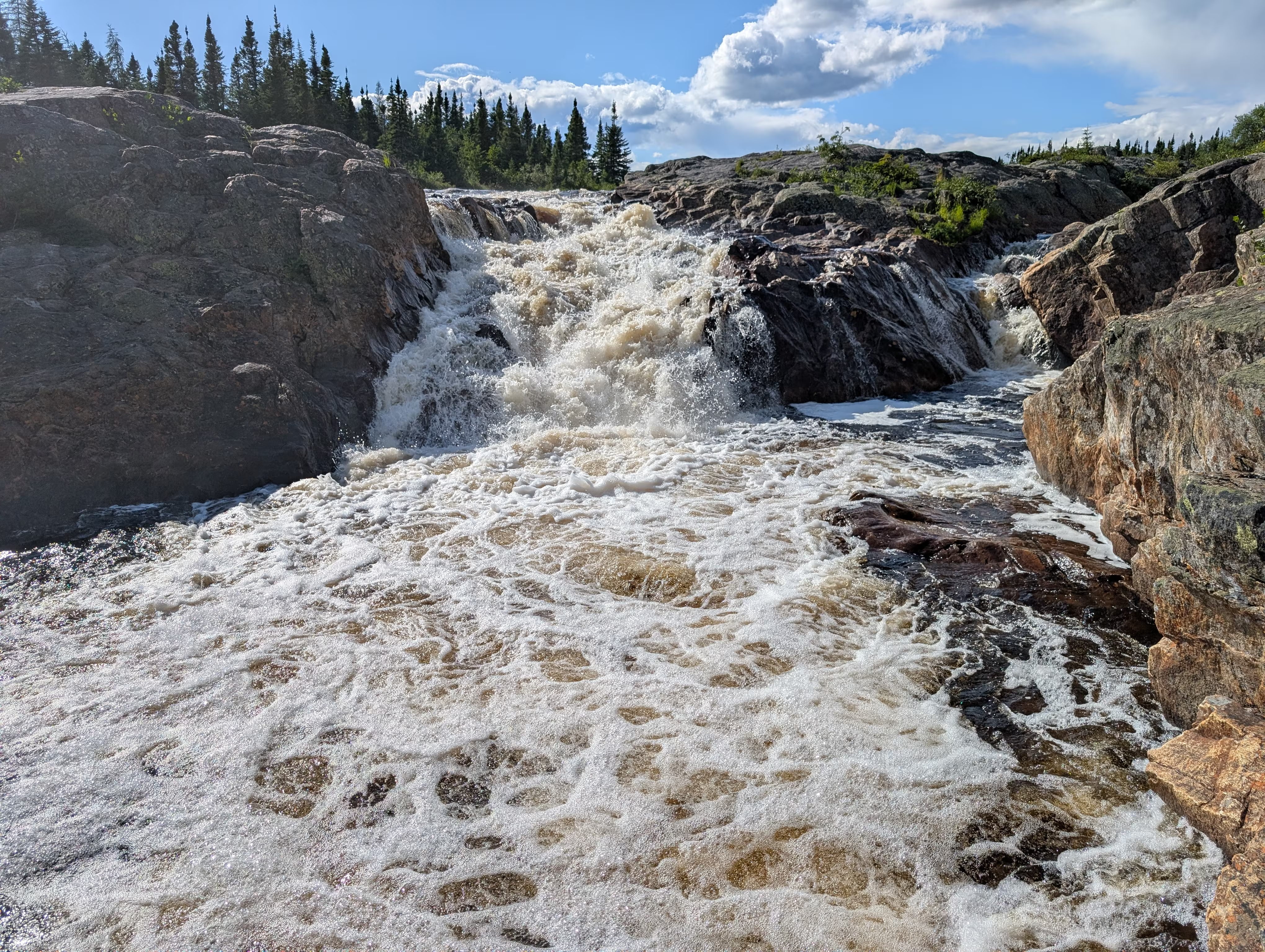
which looks more inpressive in the video we took.
These are our tracks for Friday, Aug 01
 *click on the map for more details
Iceberg
On Saturday, we hired the Caribou Run to ferry us to Battle Habour:
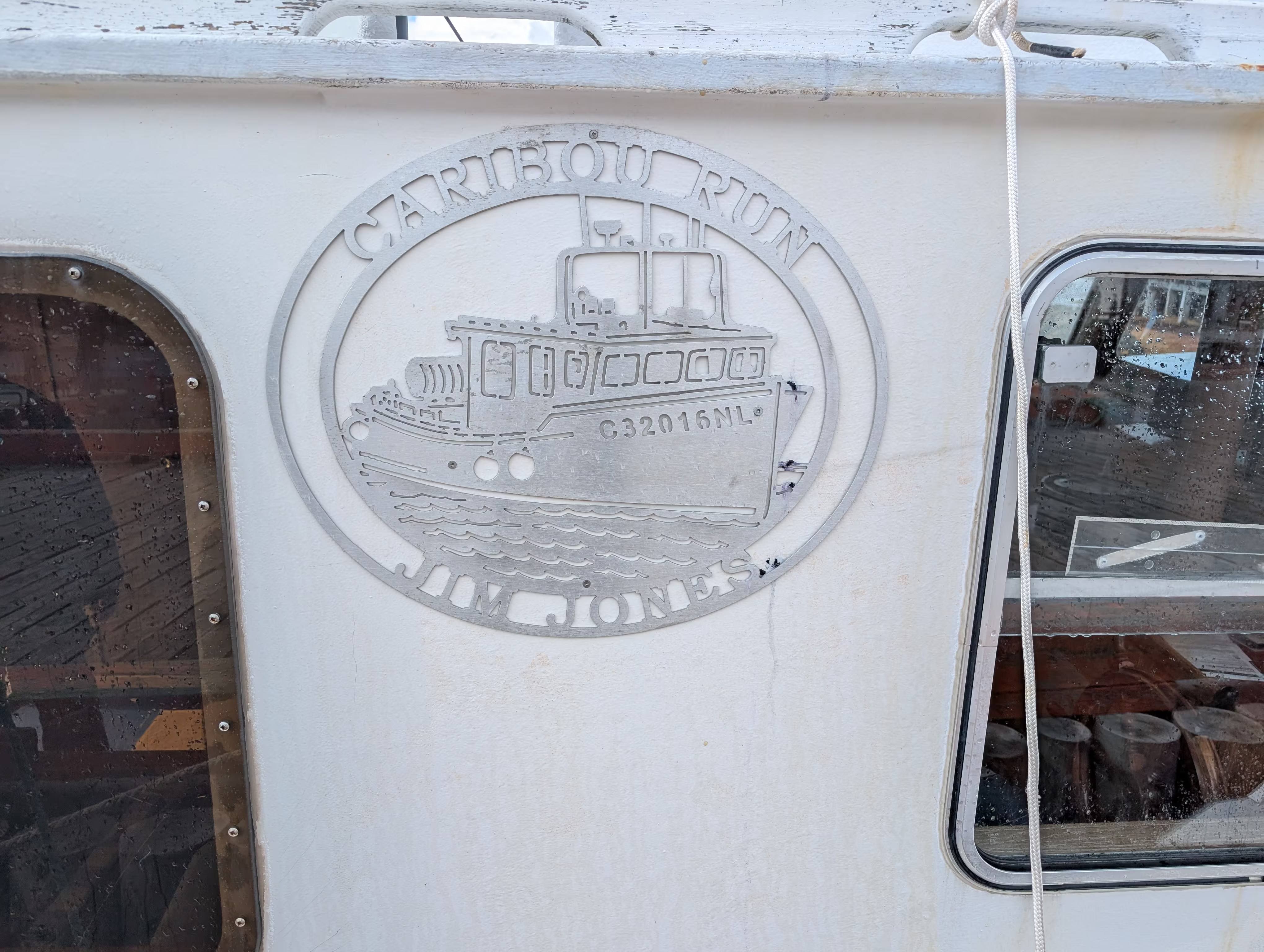
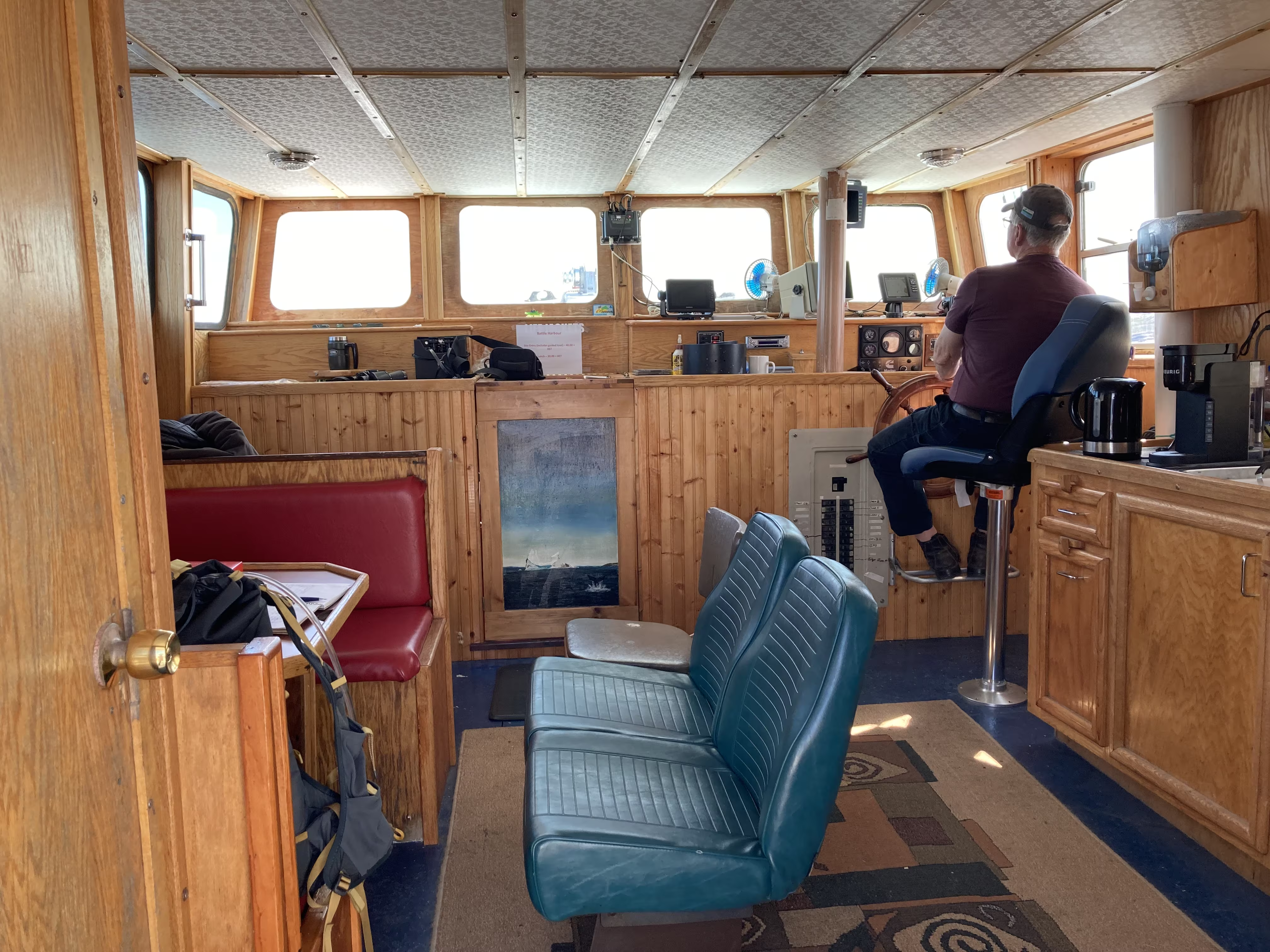
Along the way, the captain made a slight detour to visit a small iceberg:
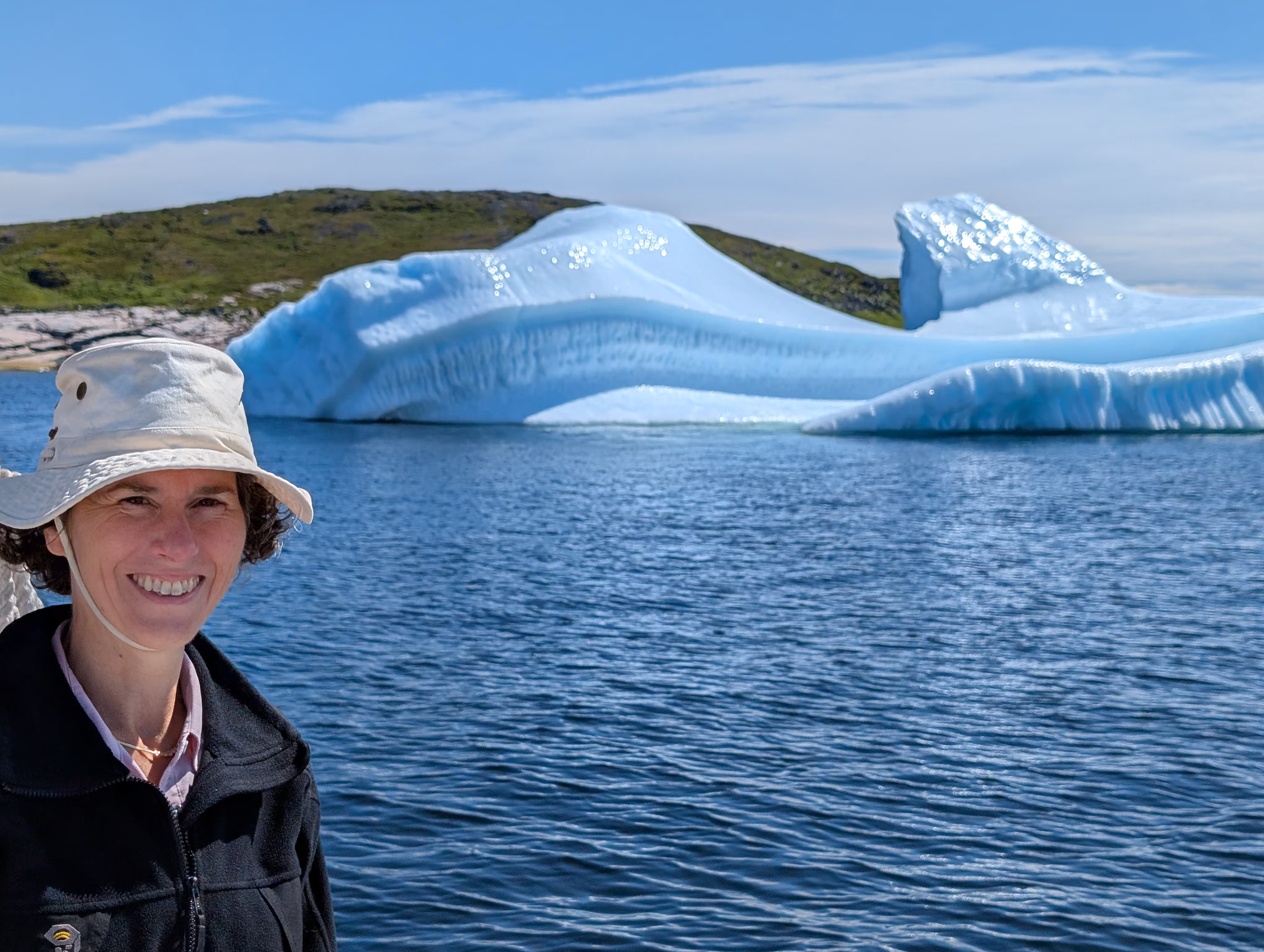
It is amazing how beautiful and how different an iceberg can look from different angles:
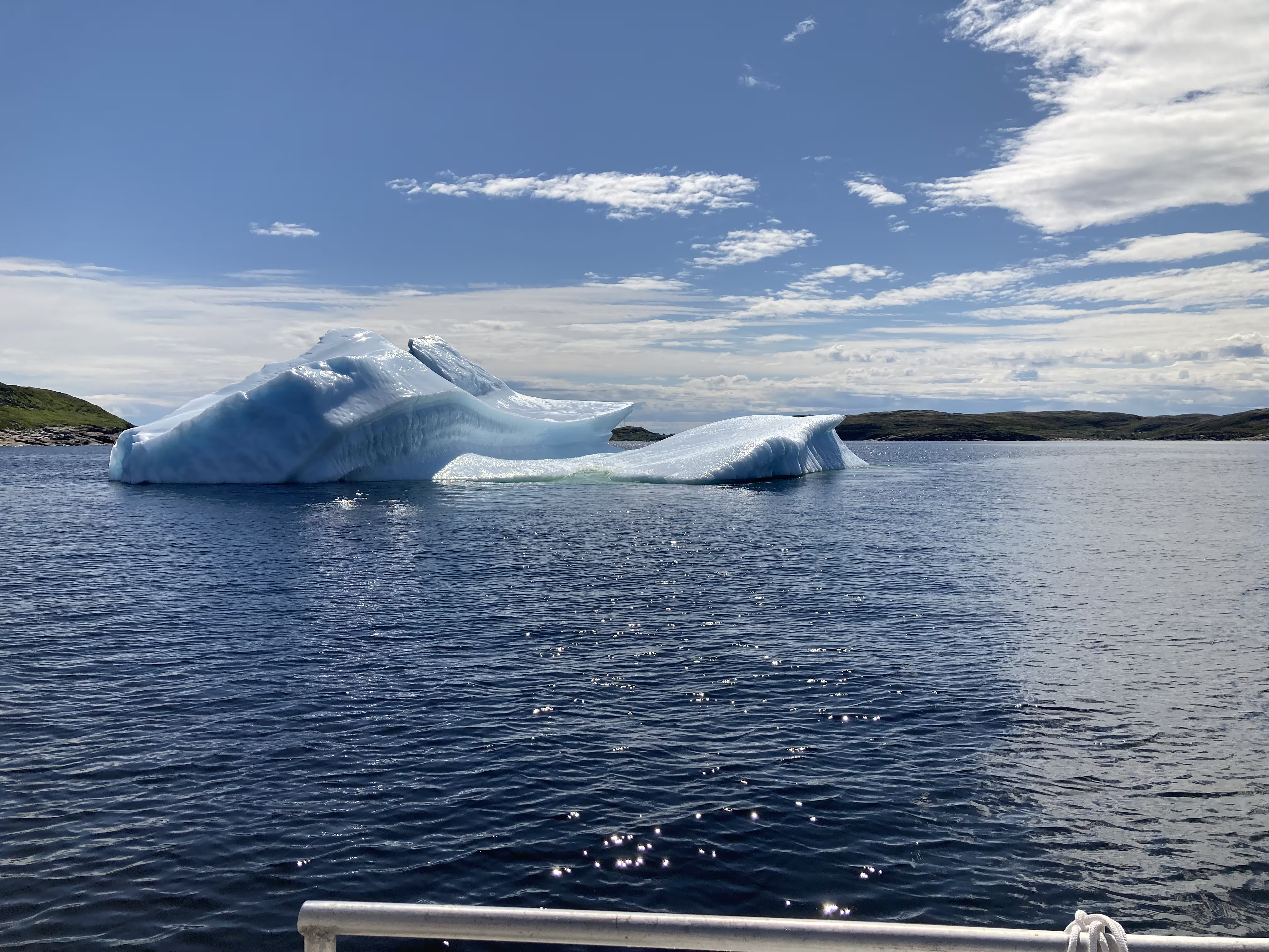
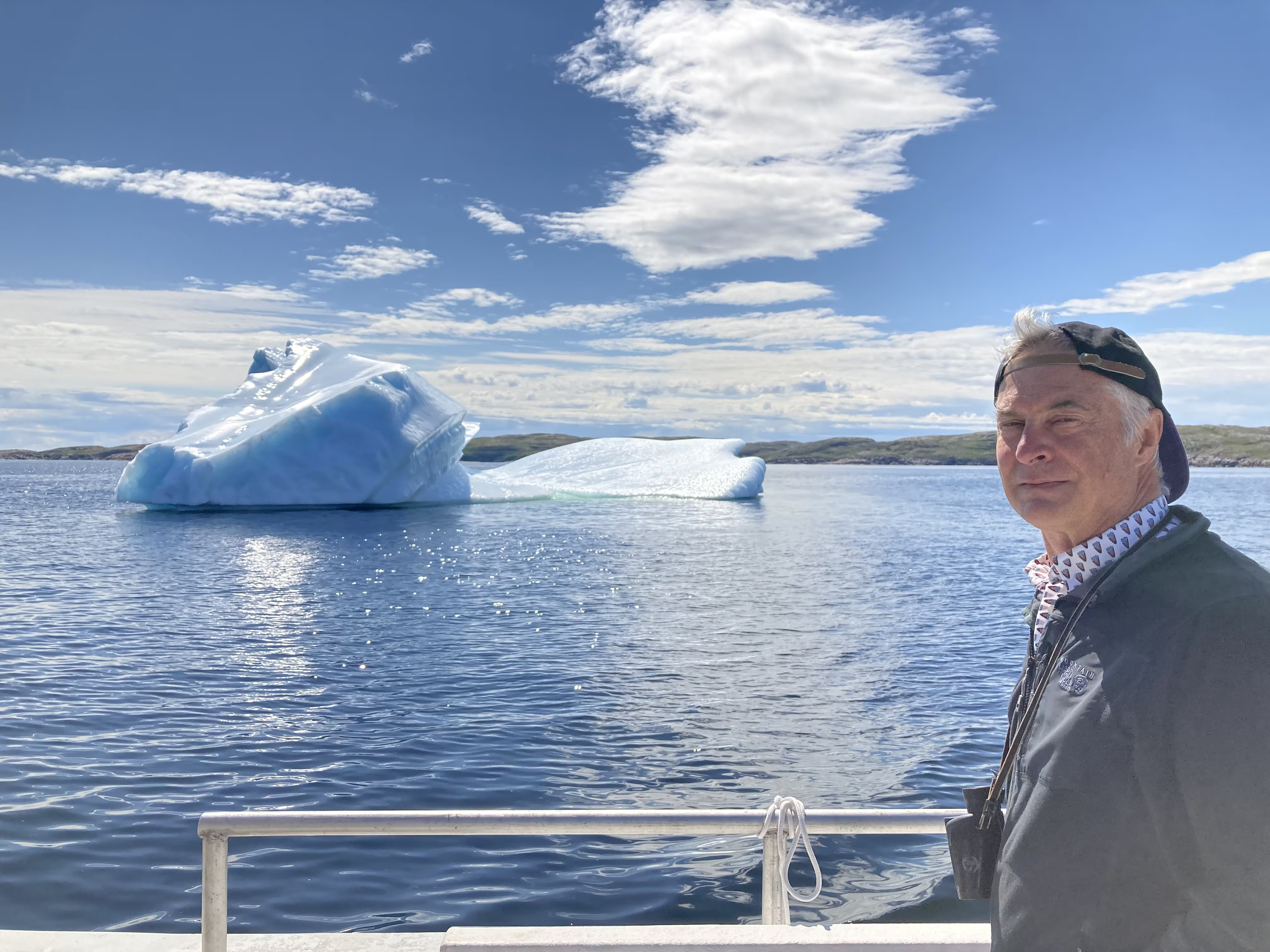
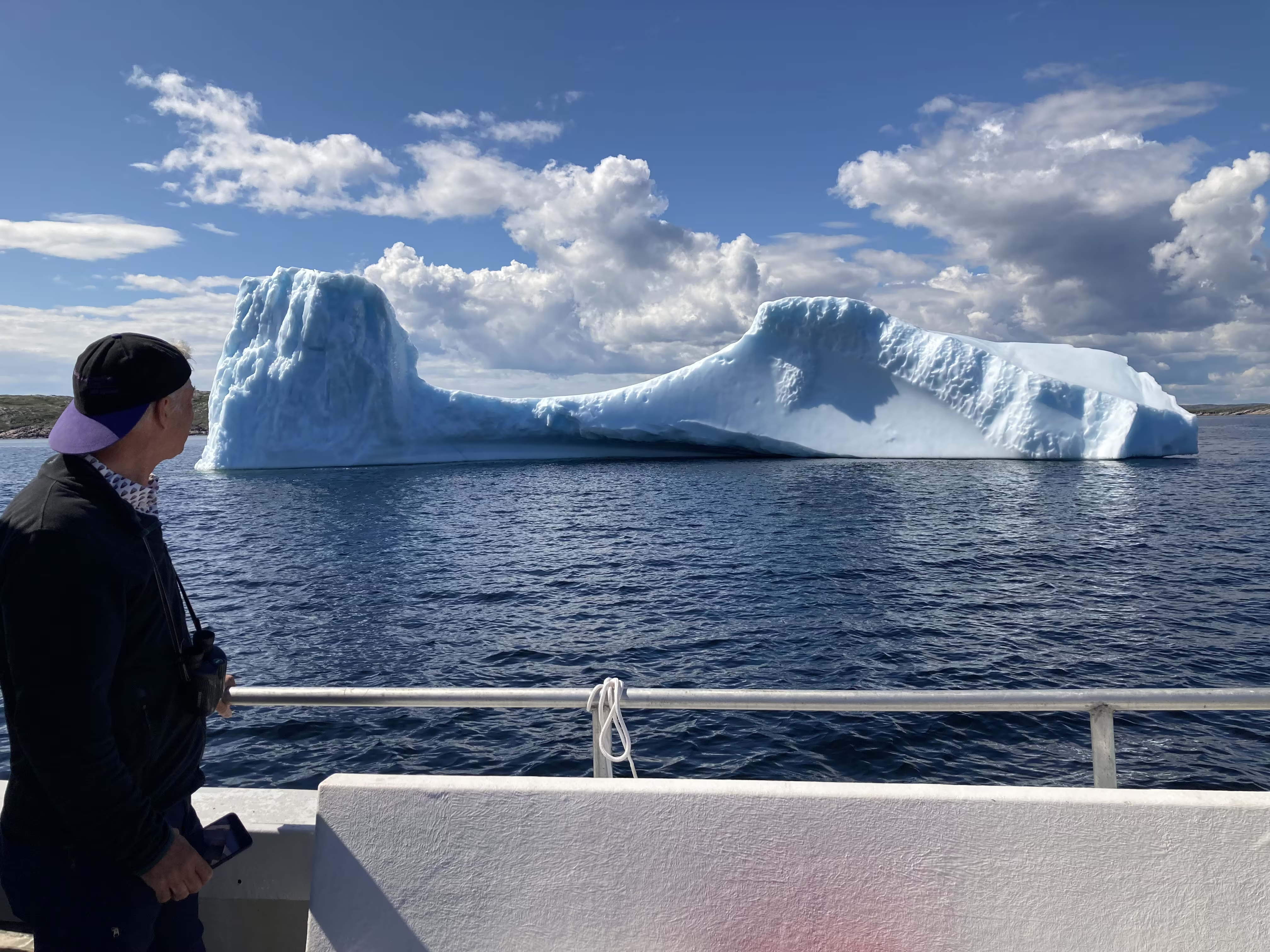
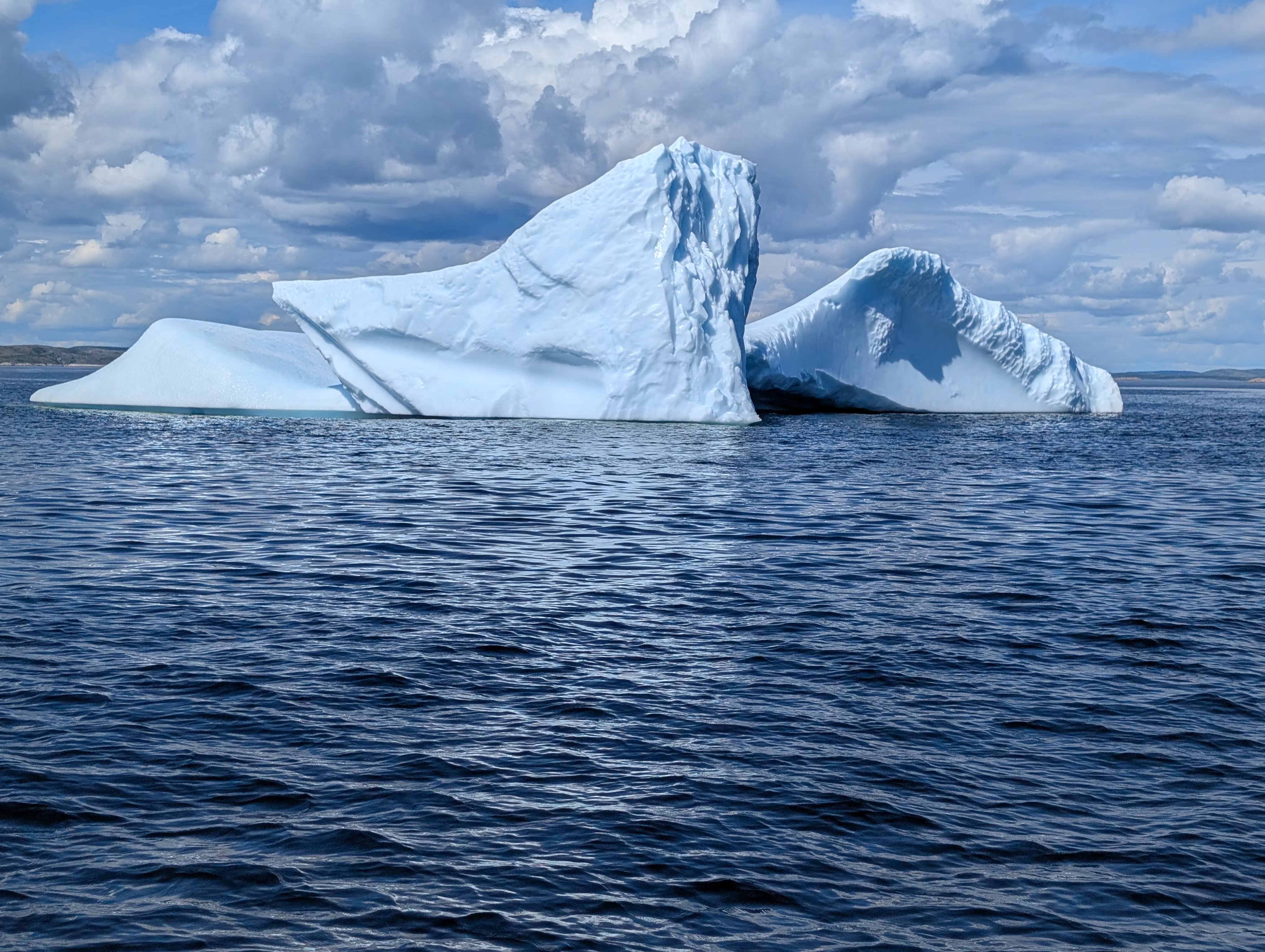
Even though it was not a large iceberg, Gail decided that it was large enough and pretty enough to tick icebergs off of her bucket list.
Battle Harbour
We first saw Battle Harbour from the boat as we sailed in:
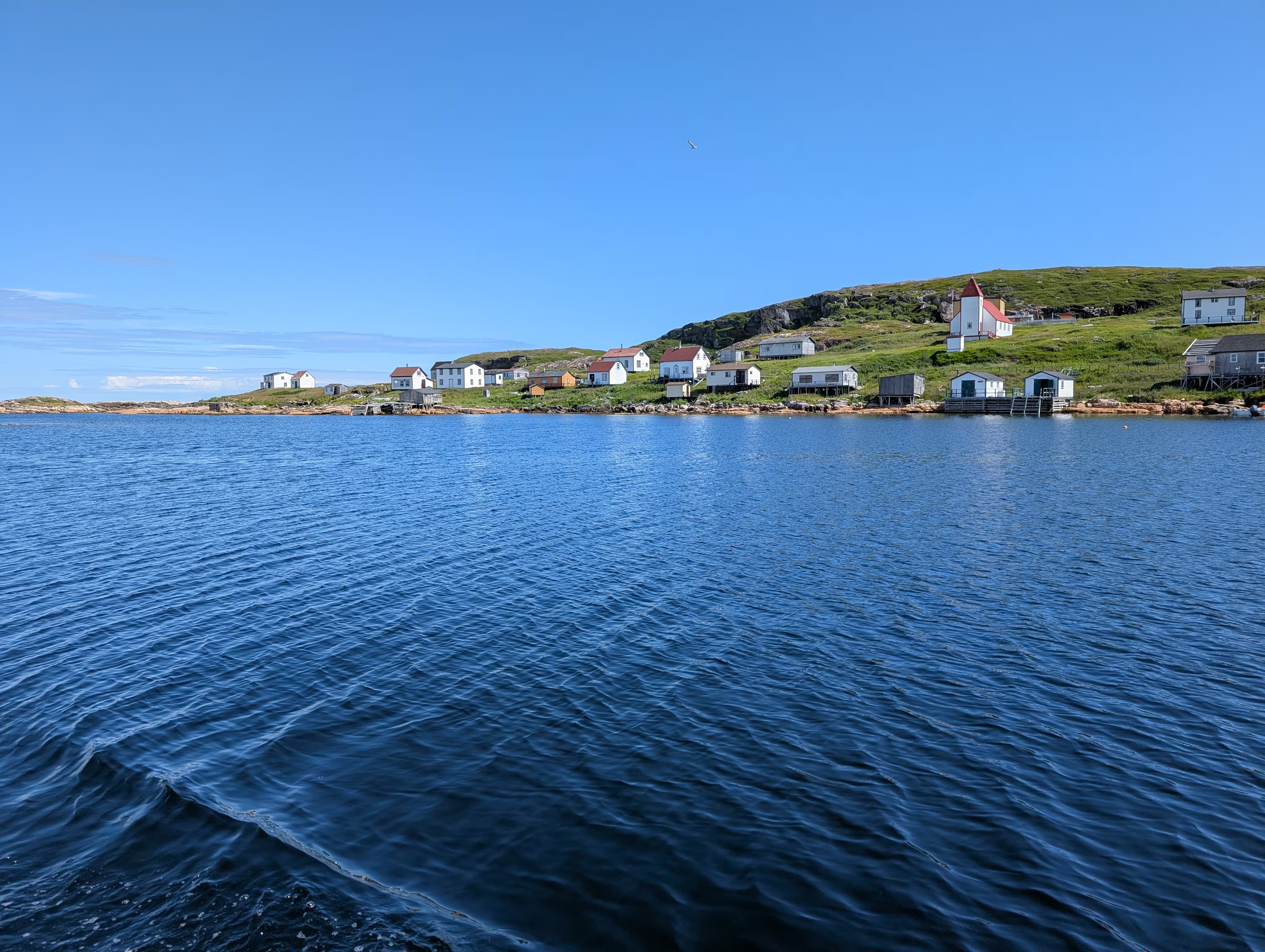
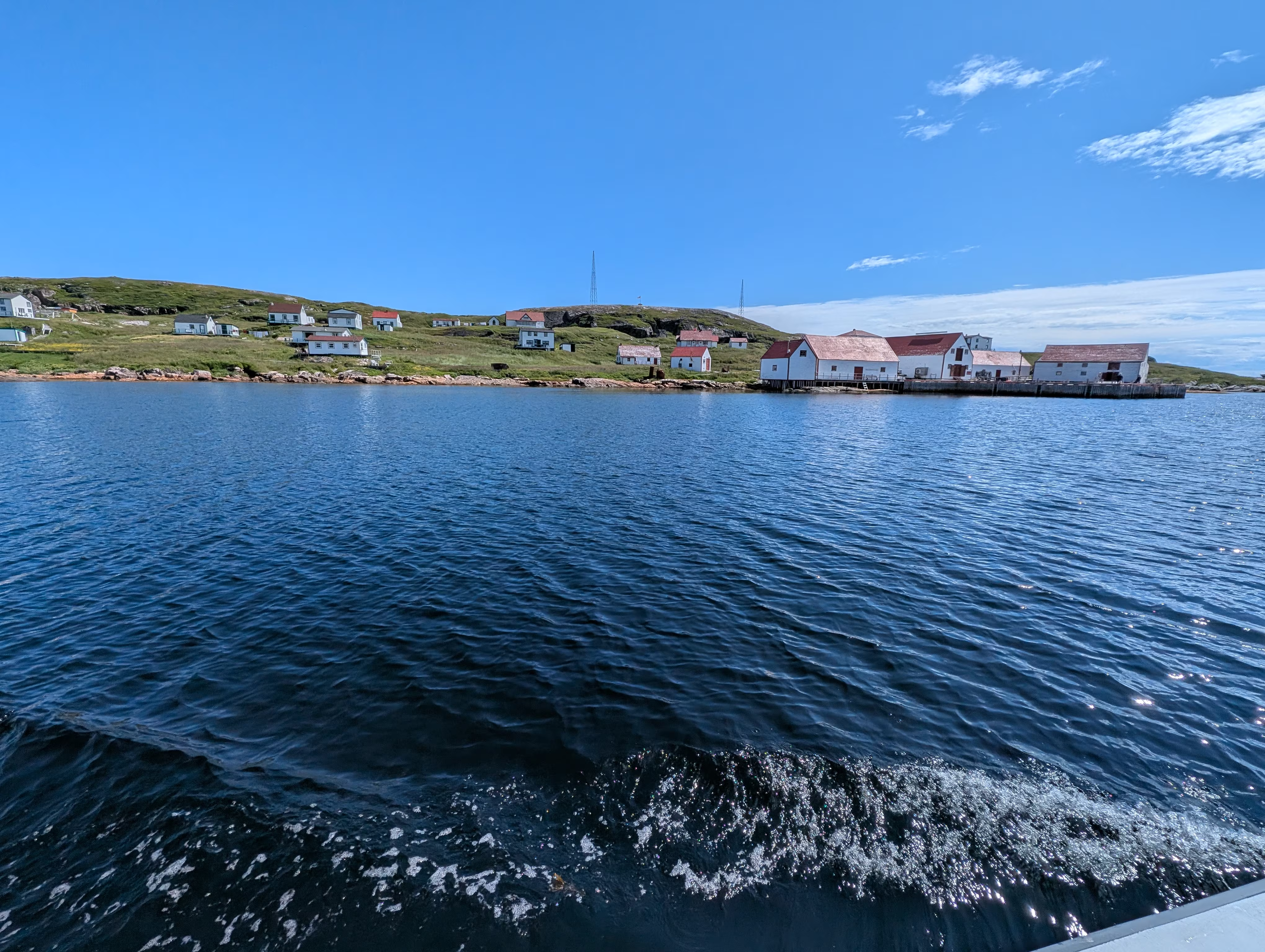
Battle Harbour is a National Historic Site:
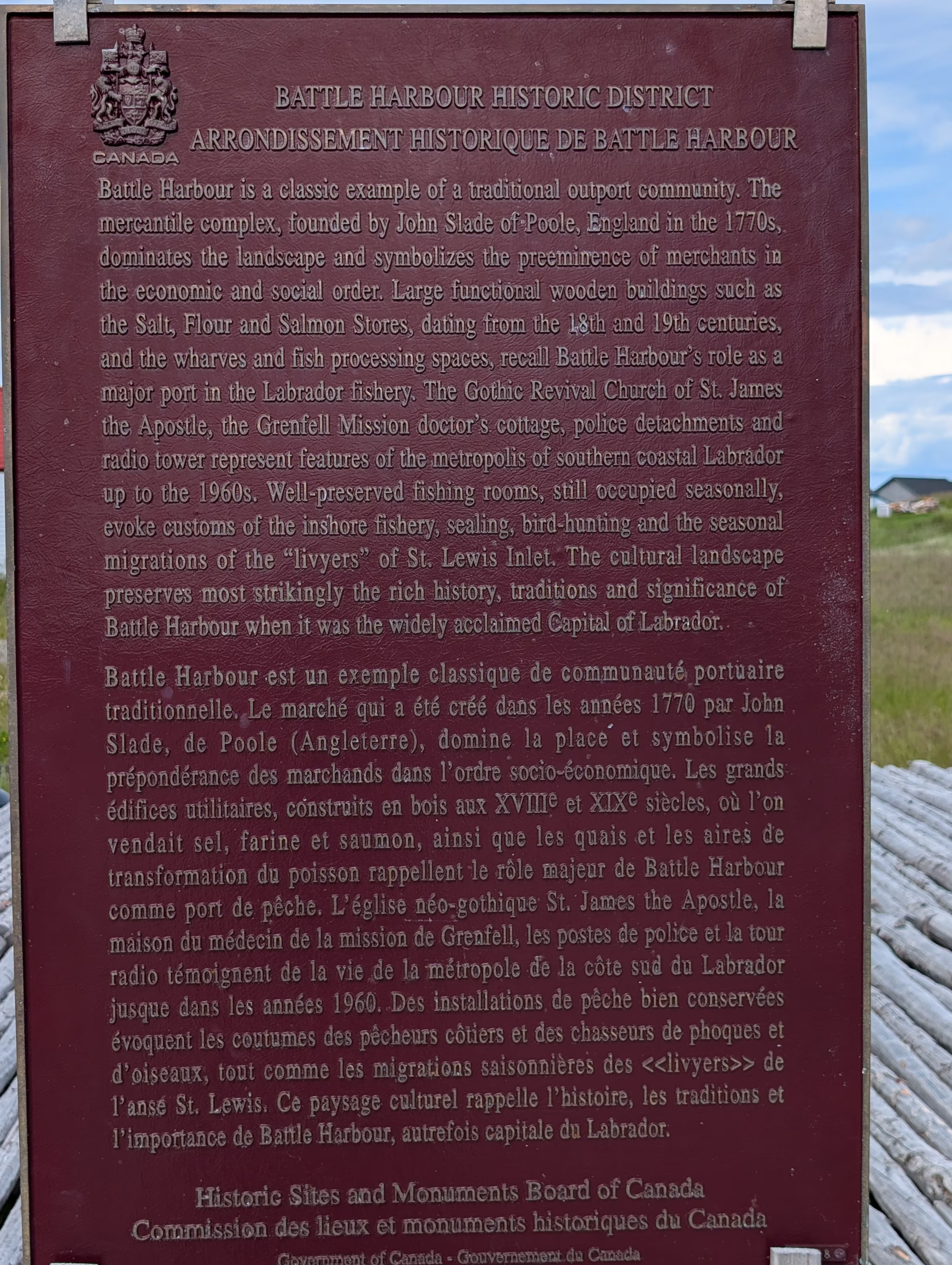
that Parks Canada describes as:
Located on the east coast of Labrador, Battle Harbour Historic District is a classic example of a traditional outport fishing community. The mercantile complex with its large wooden stores, dominates the landscape. Wharves and fish processing spaces animate the waterfront, while houses, a church, a doctor’s office and a police detachment speak to community life. The designation refers to the cultural landscape with its buildings and structures, including the western side of Battle Harbour, the southern end of Gunning Island, the eastern side of Great Caribou Island and the 1920s cemetery at the northern end of Battle Island.
Based on evidence from Portugues maps of the 1560’s, the name probably originates from the Portuguese word batel which translates to “boat”.
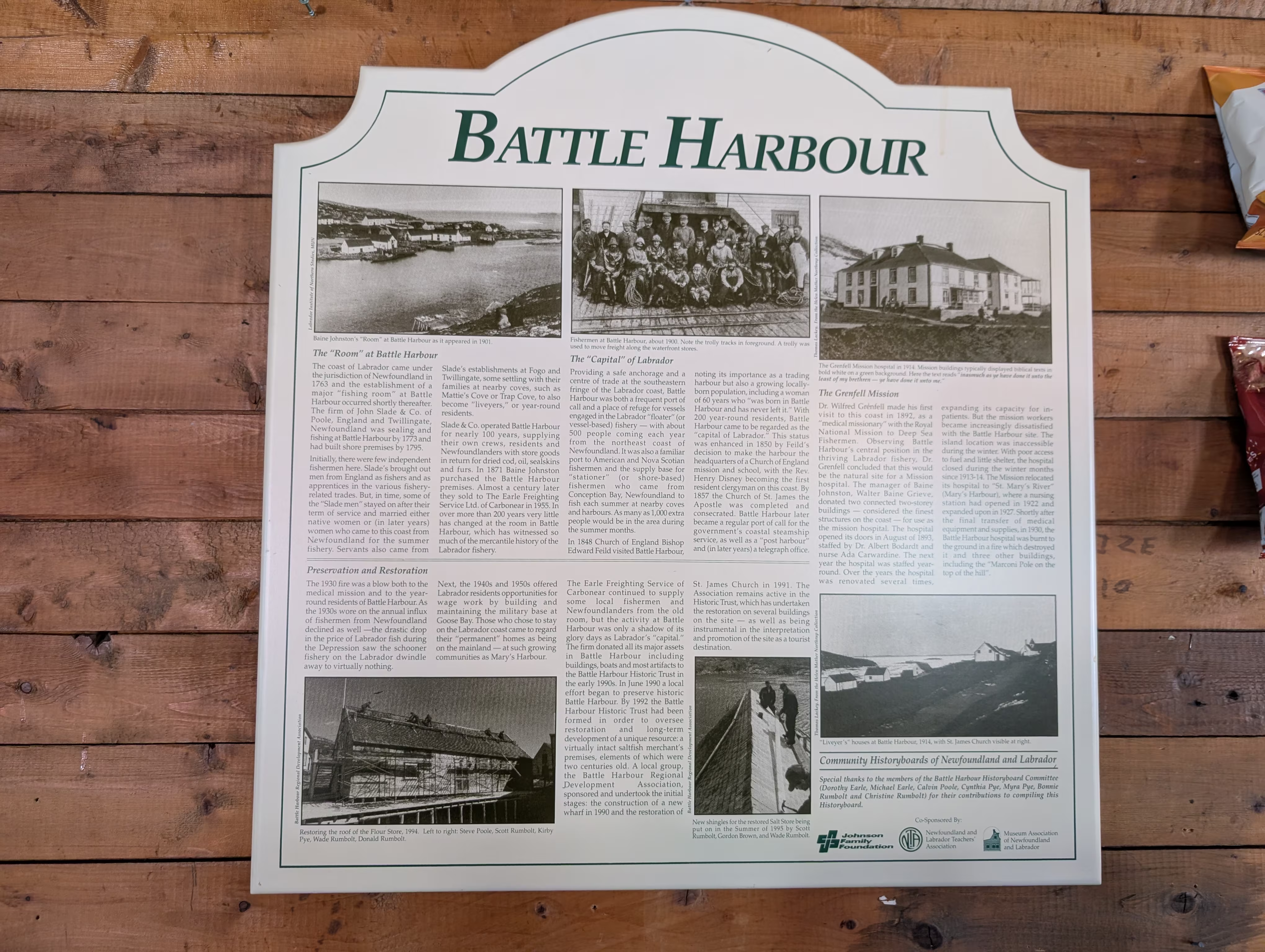
In the 1800’s, it was known as the capital of the Labrador floater fishery:
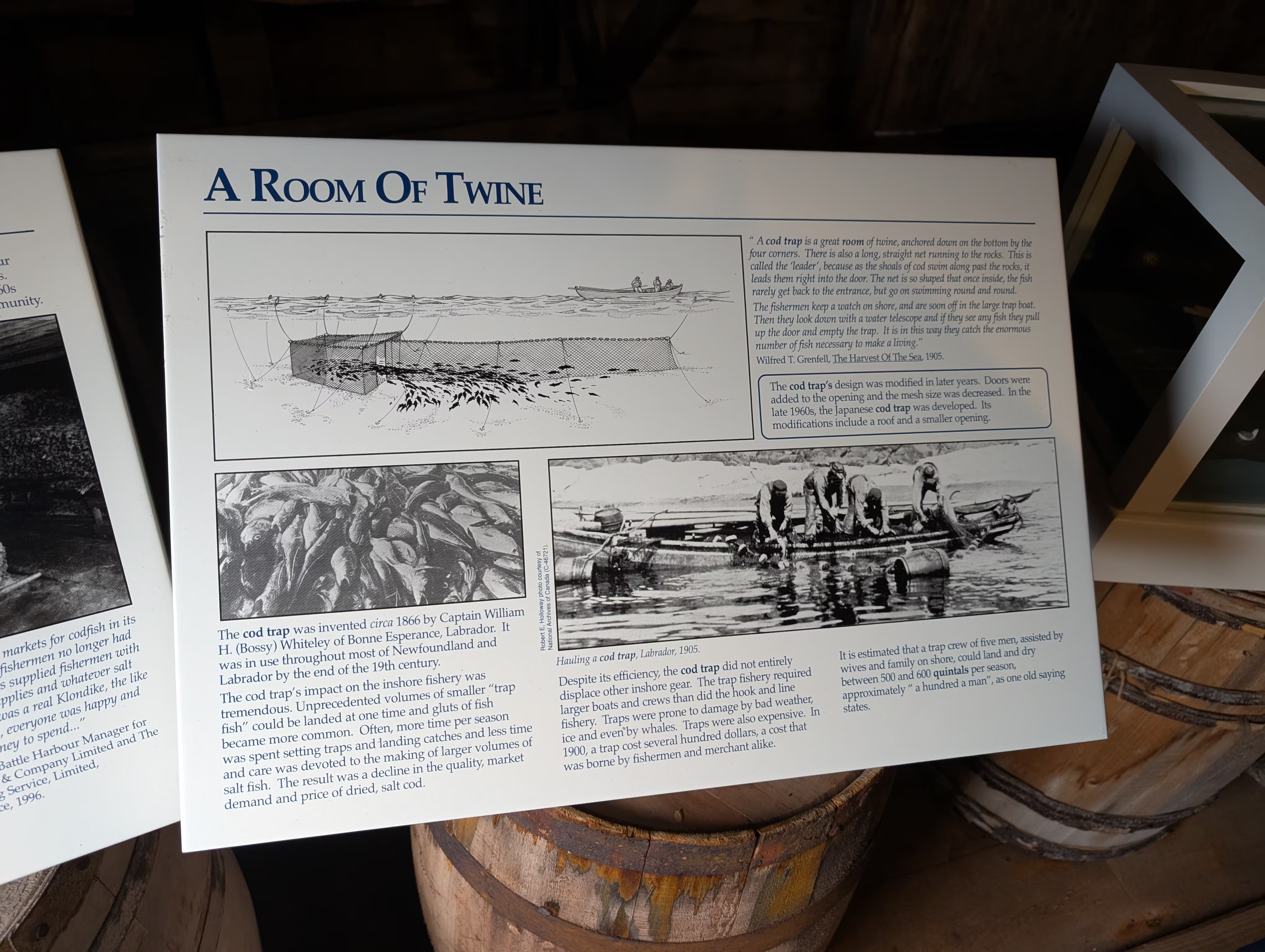
This is an example of a Cod Trap:
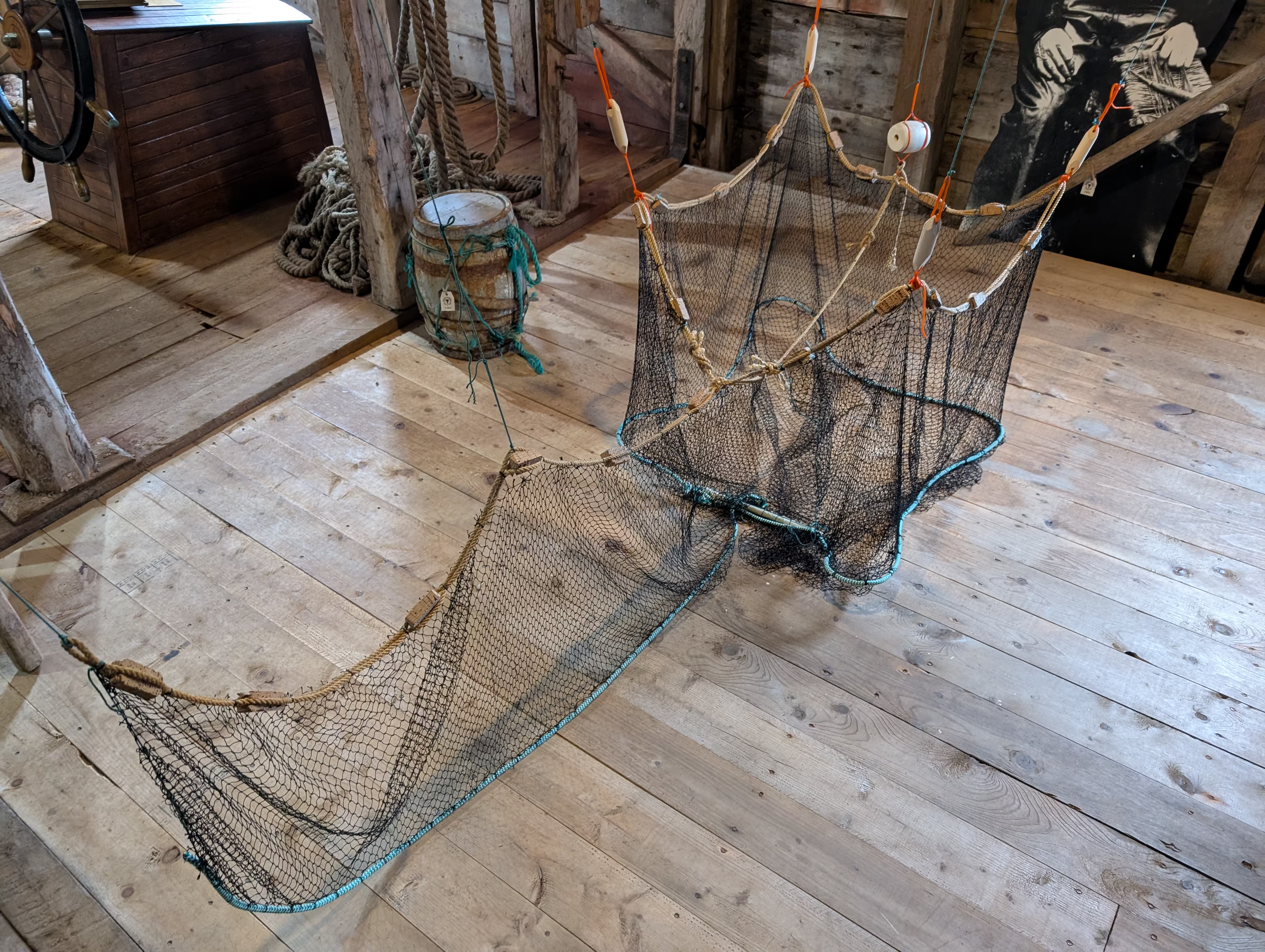
that is one of the most labour and cost-efficient fishing gears ever devised, and they were built on the island:
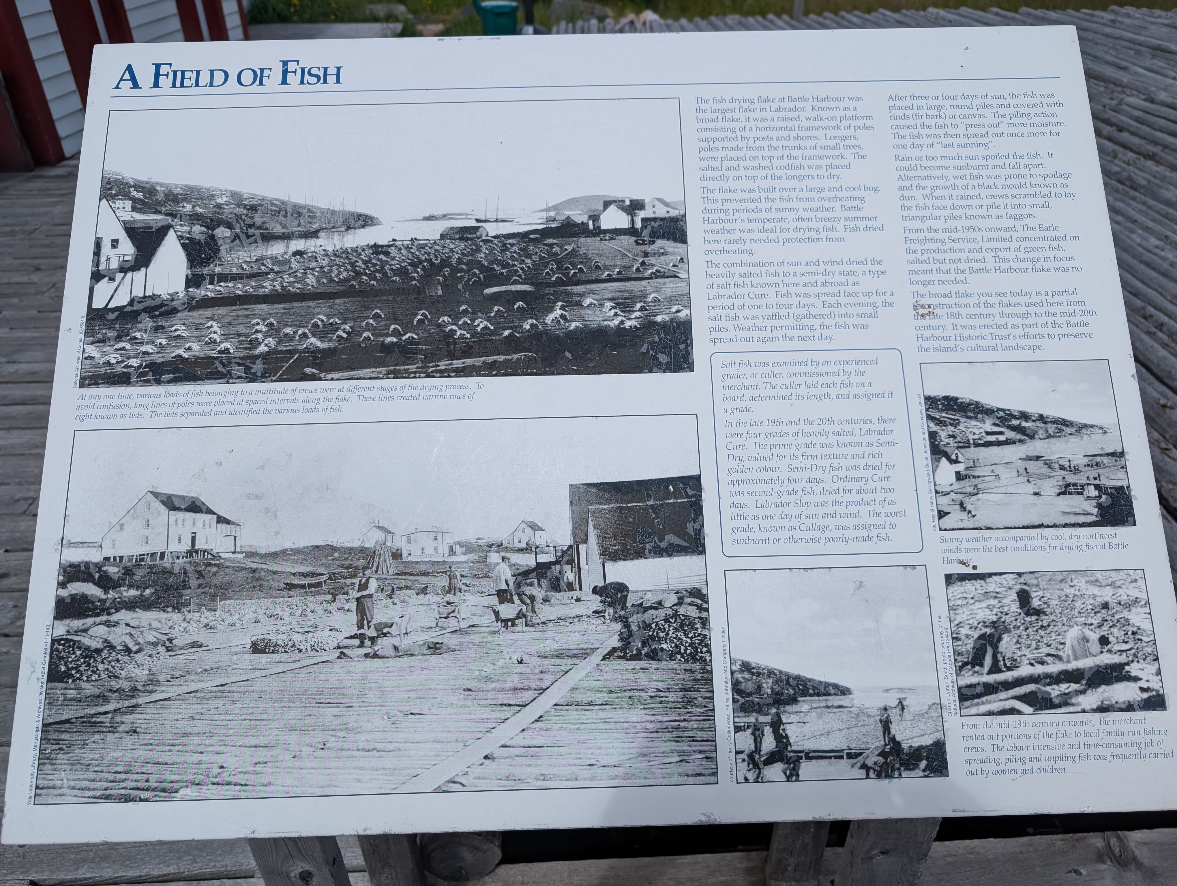
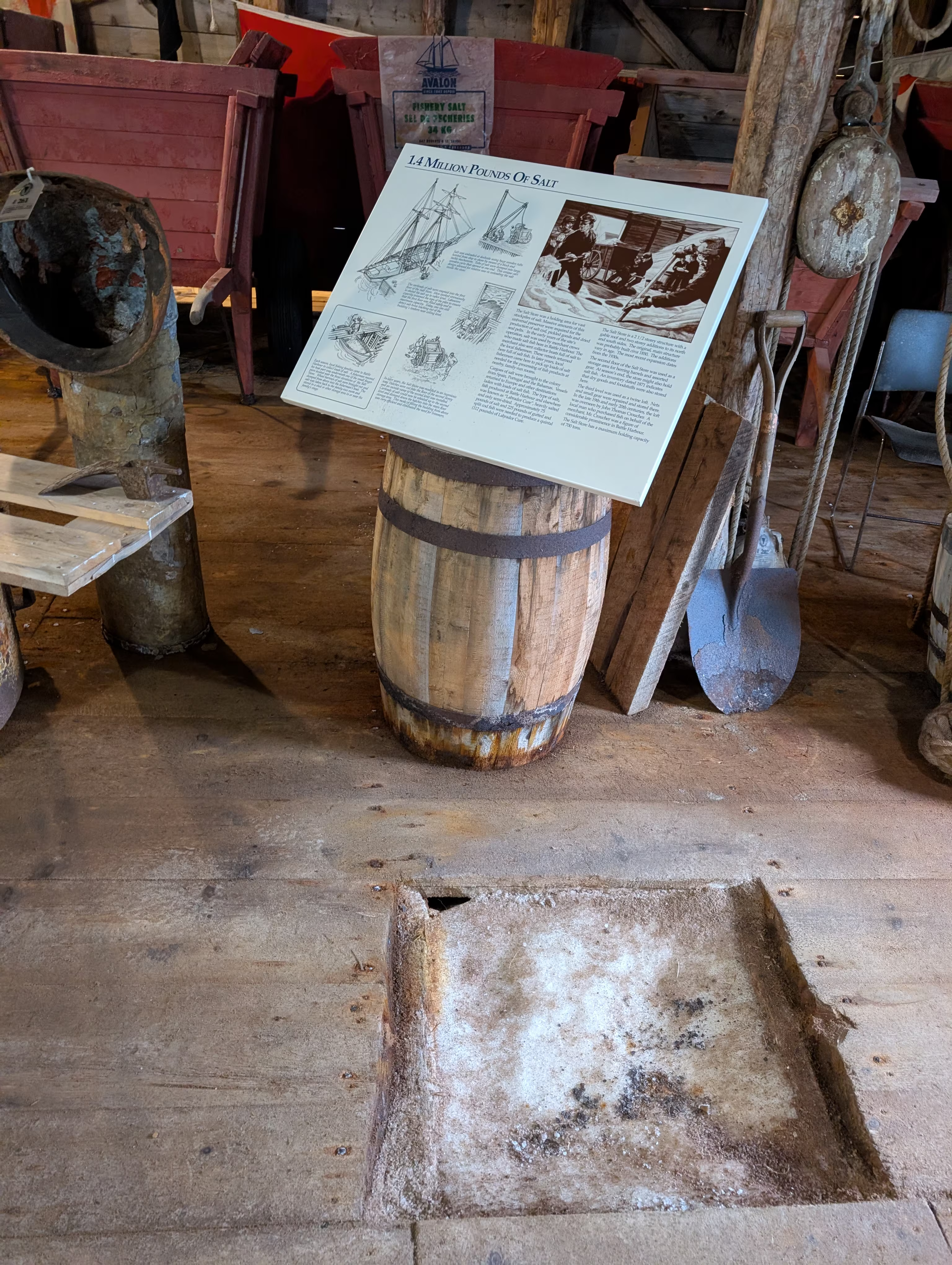
After the fish were caught, they were salted:
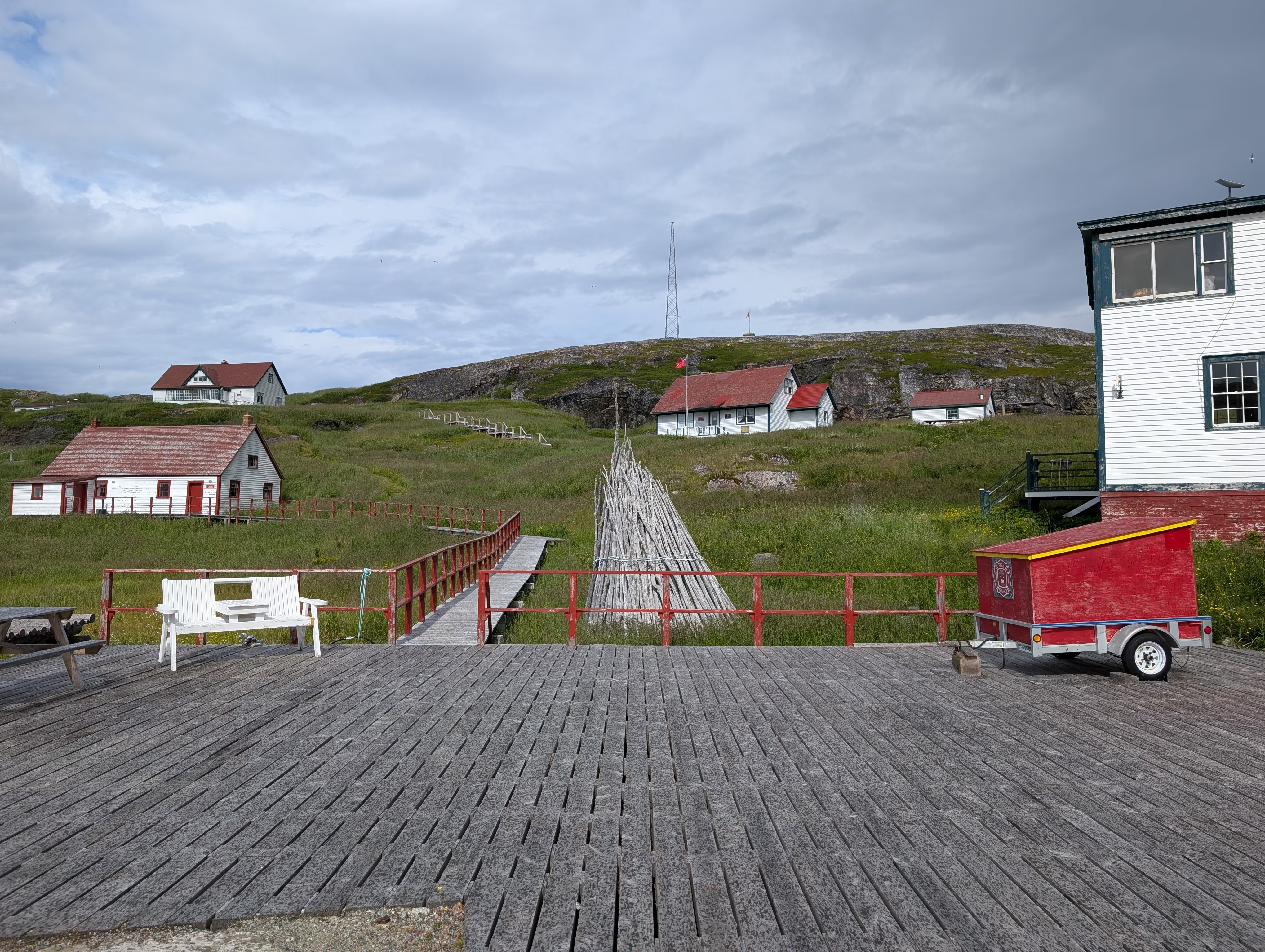
and dried in the fields in the town:
The pictures above were taken while on a tour of the town by a fourth generation resident (summer time only, because nobody now spends their winters in Battle Harbour):
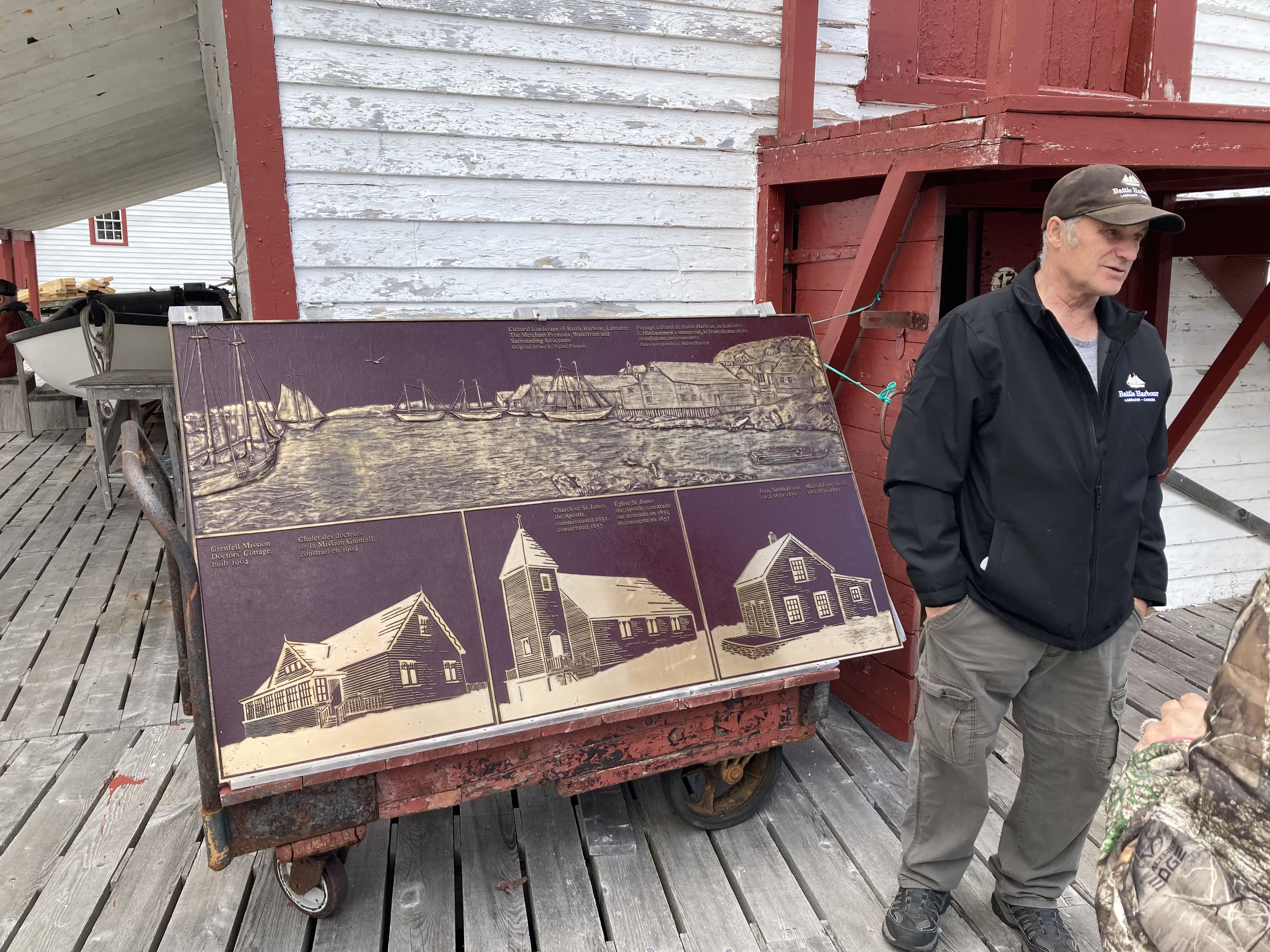
who is a member of the Battle Harbour Historic Trust:
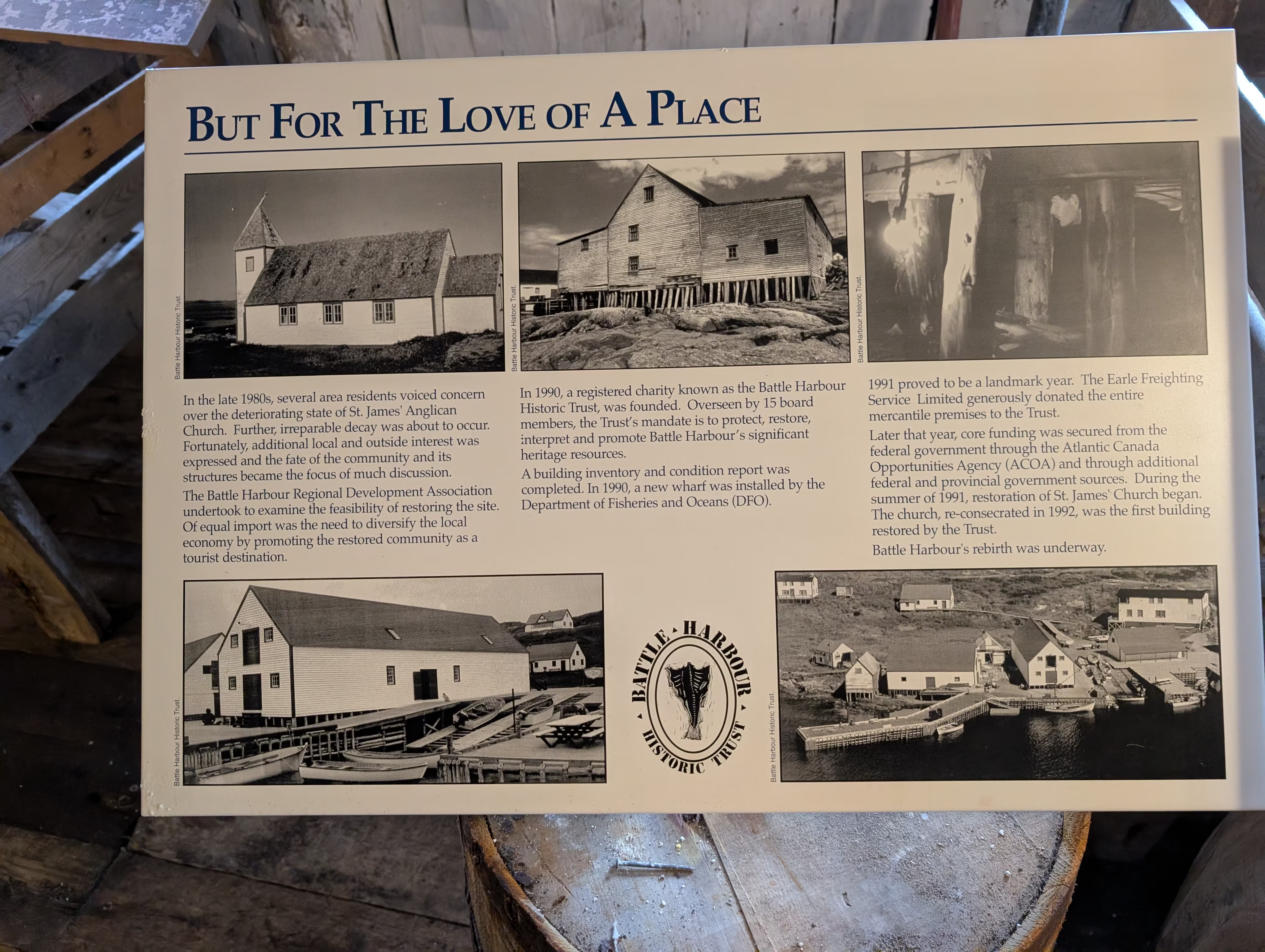
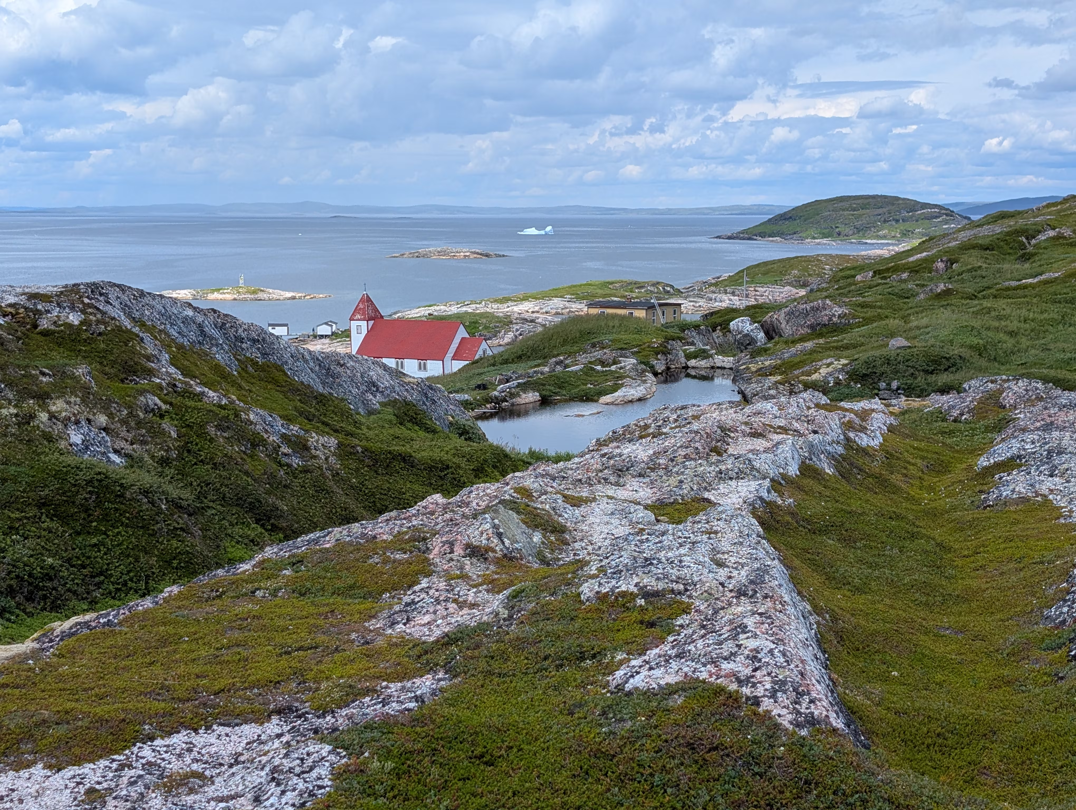
whose original mission was just to preserve the local church:
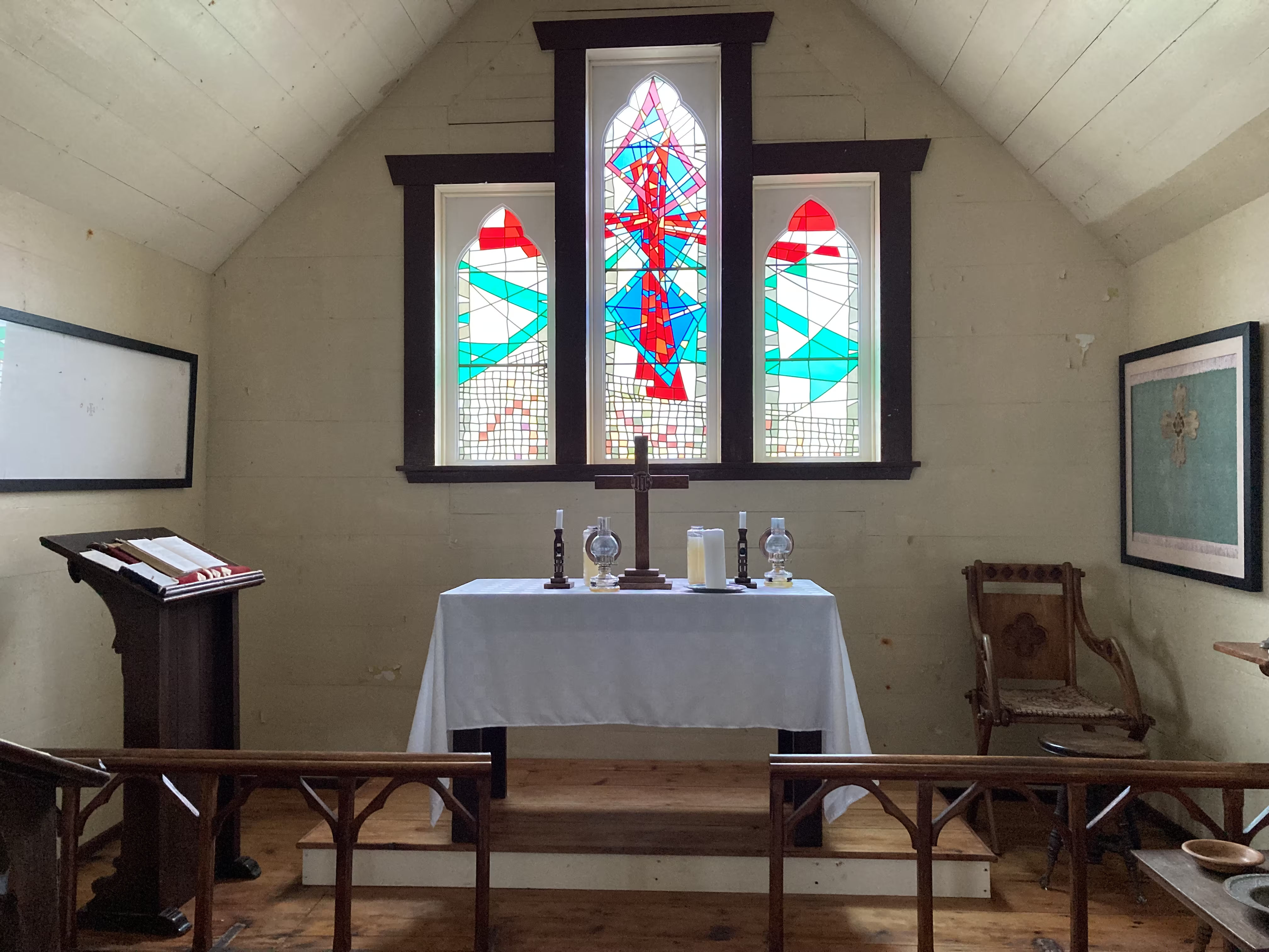
After the tour we went on a short walk around the island capturing its beauty:
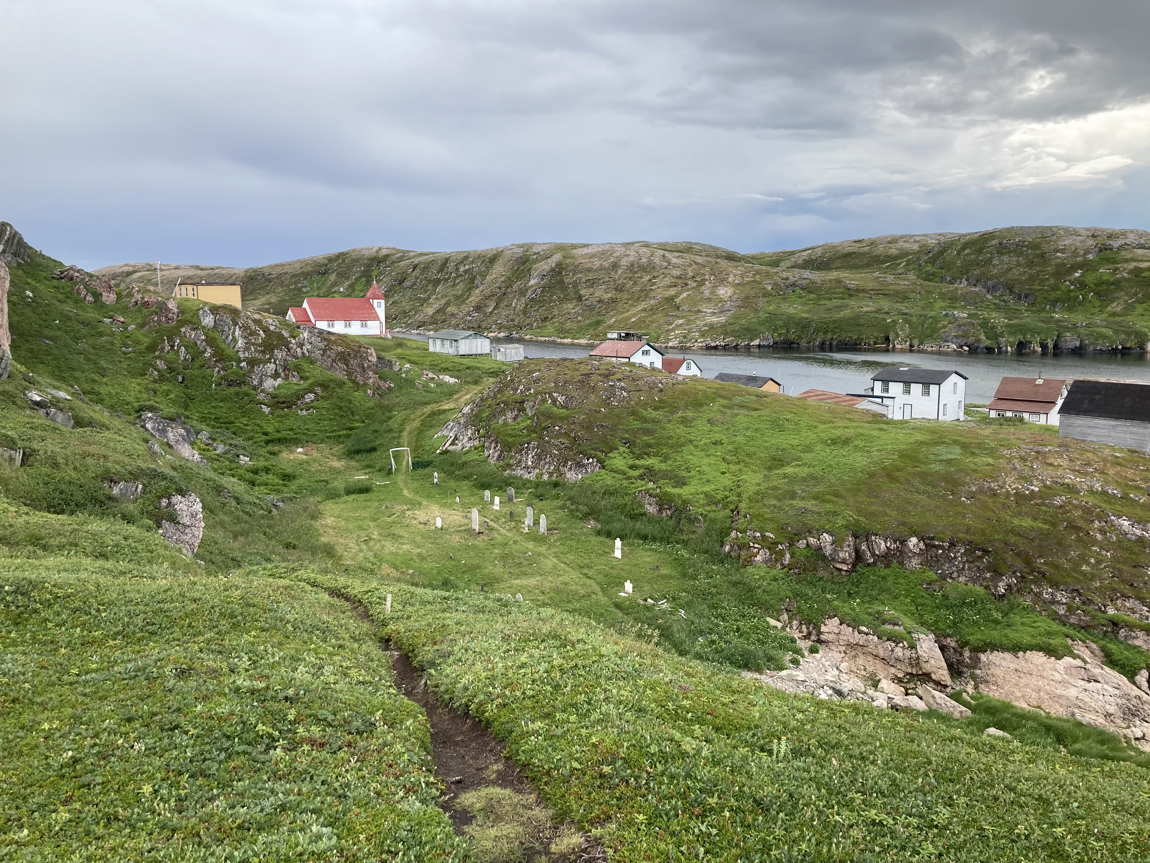
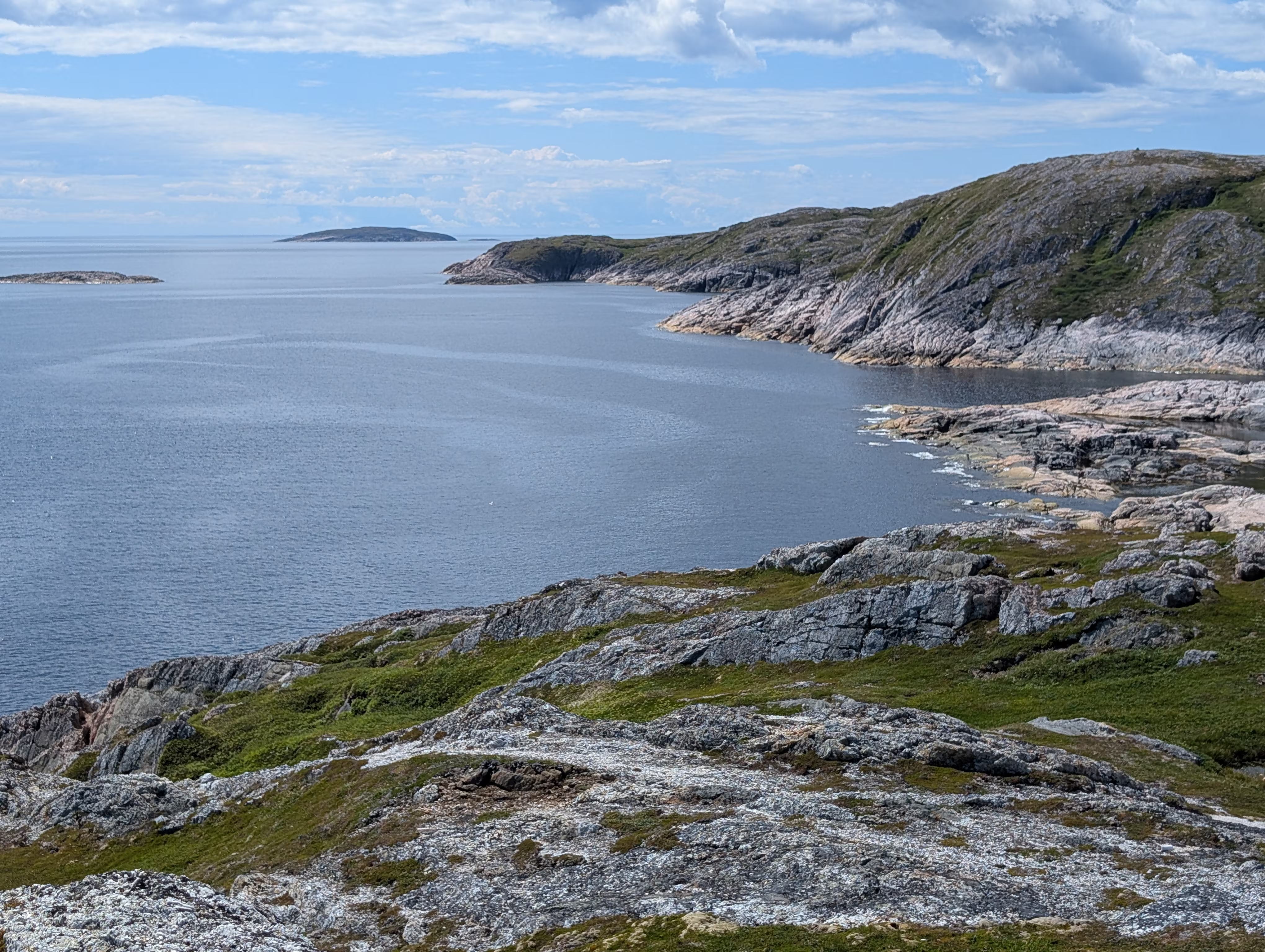
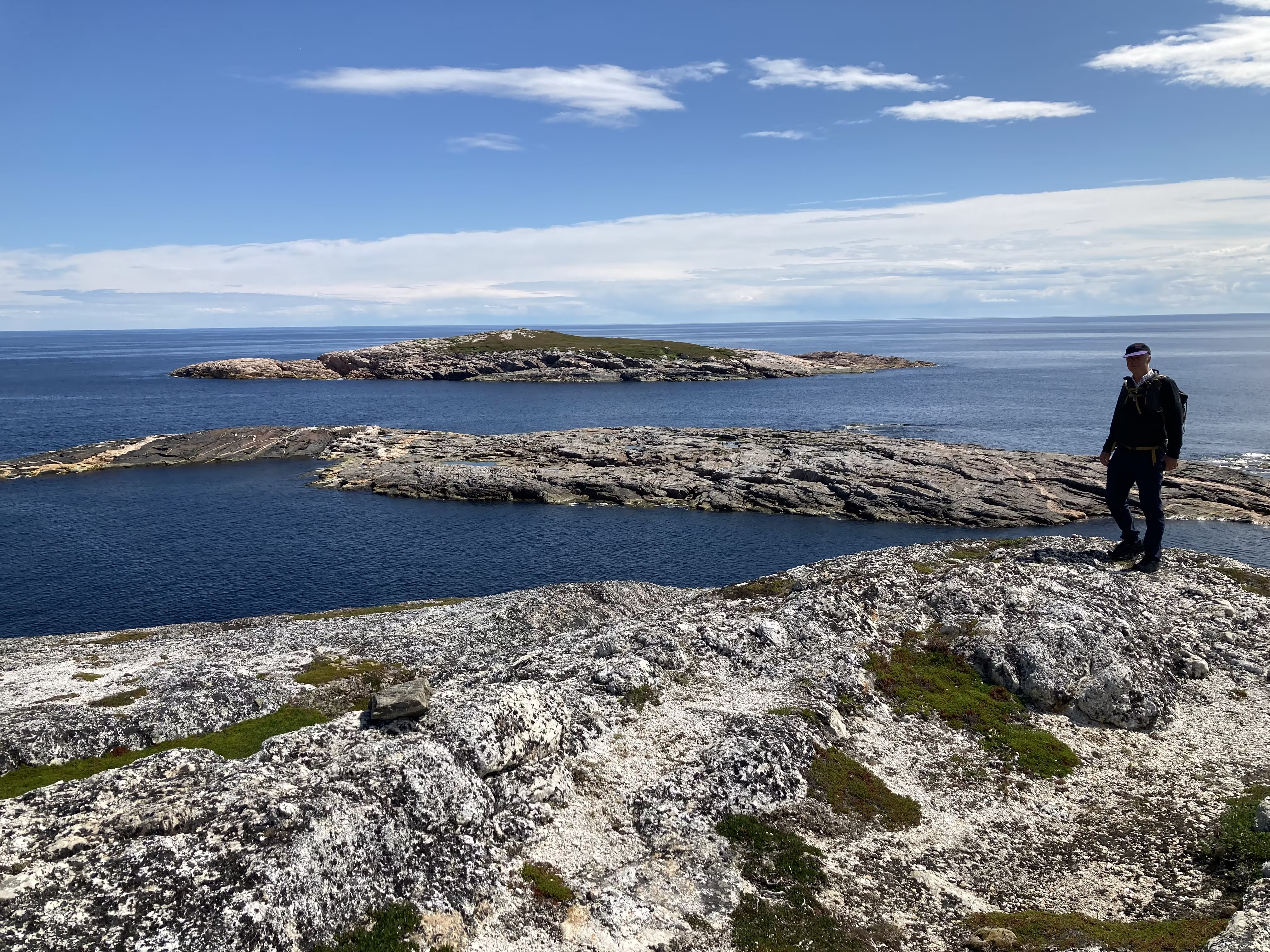
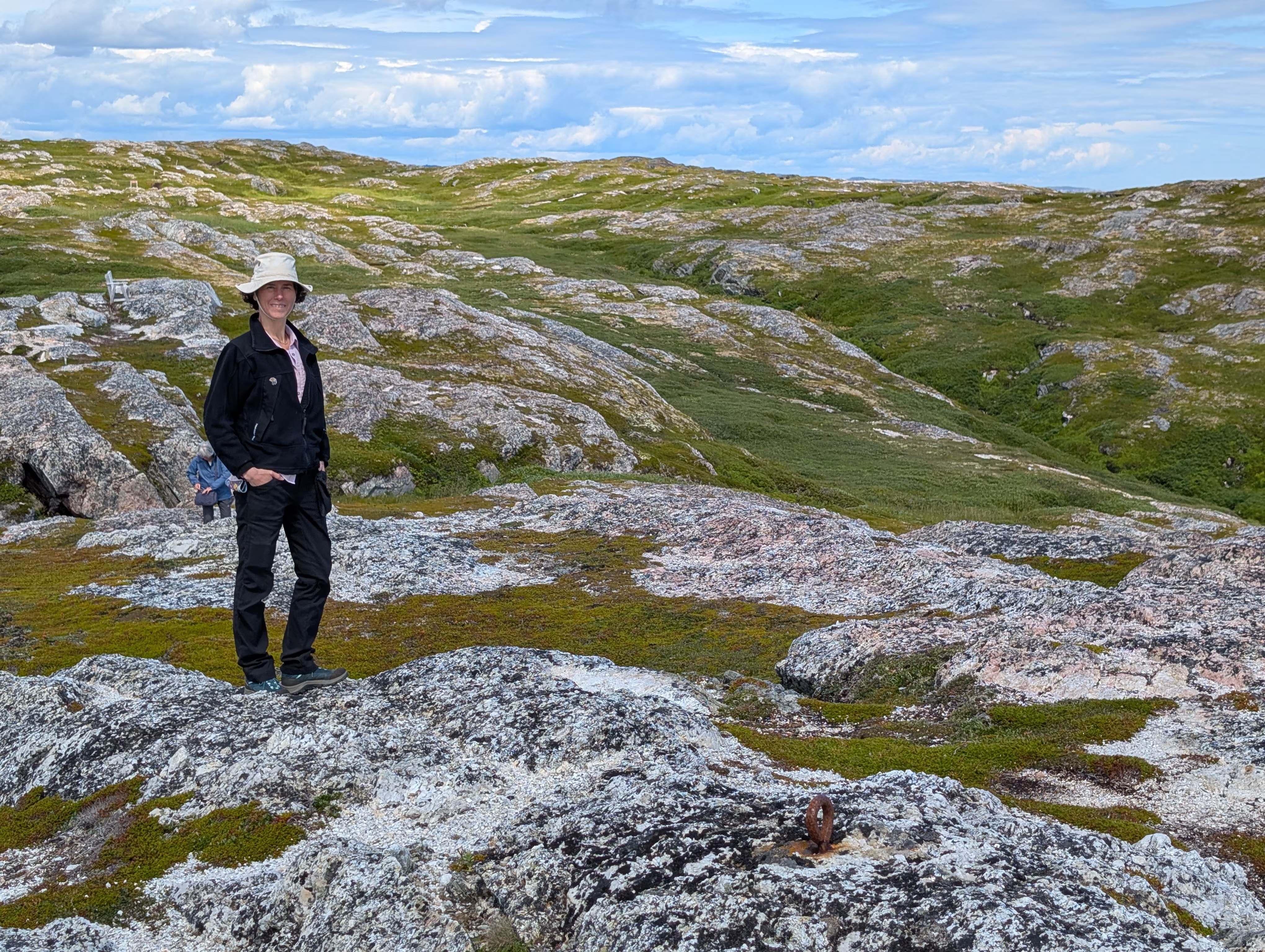
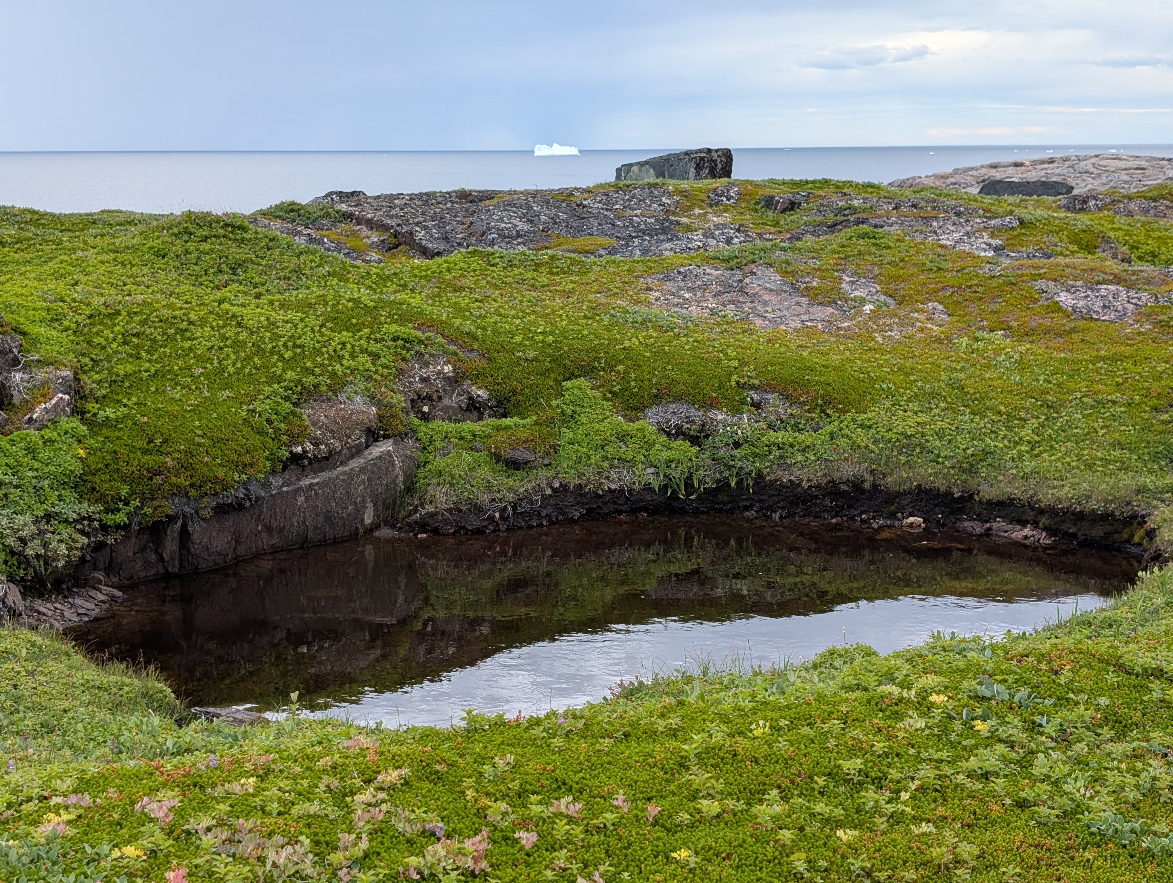
including the view of a much bigger iceberg that was not a short detour for the ferry:
and on to the Marconi towers:
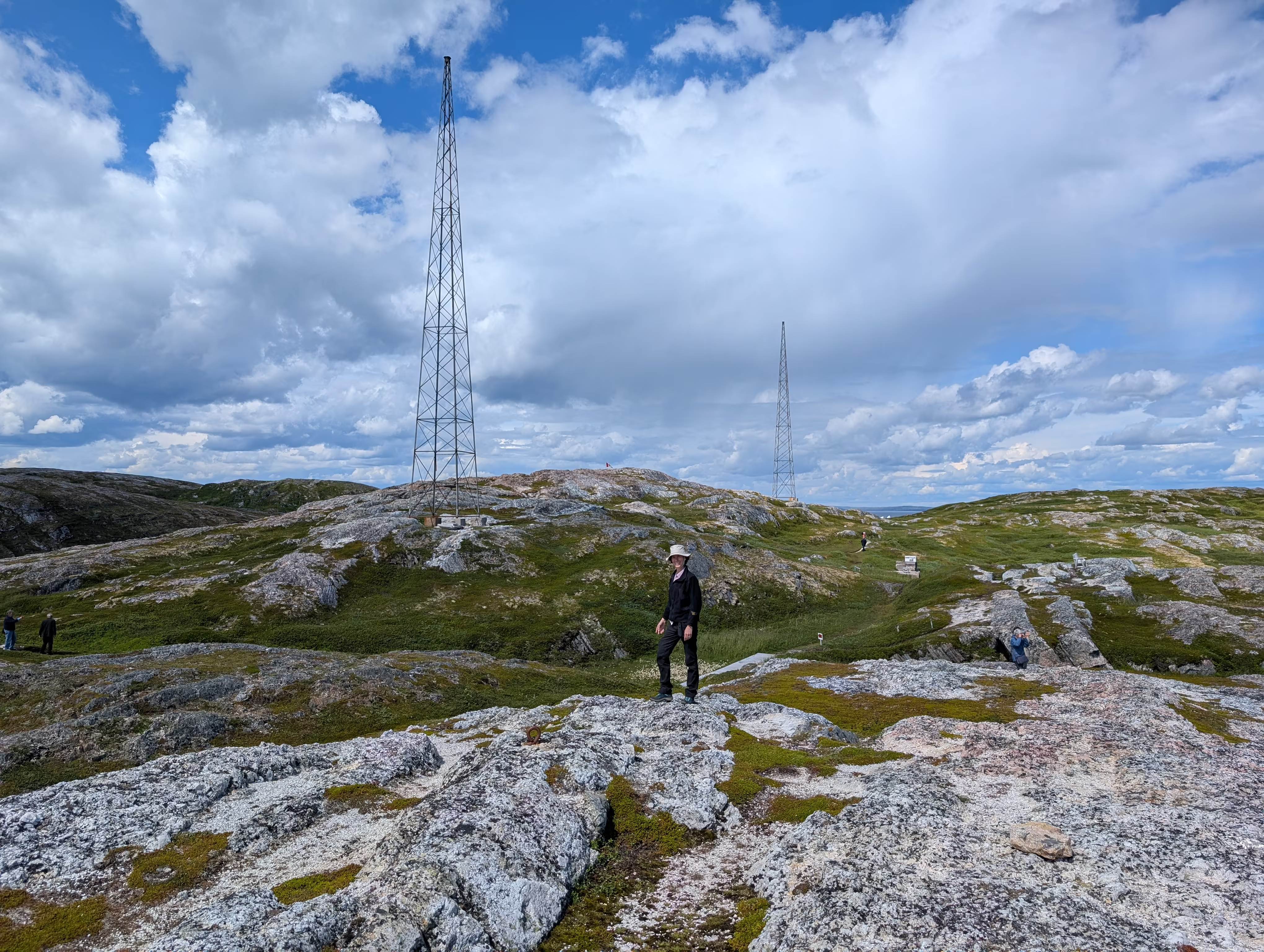
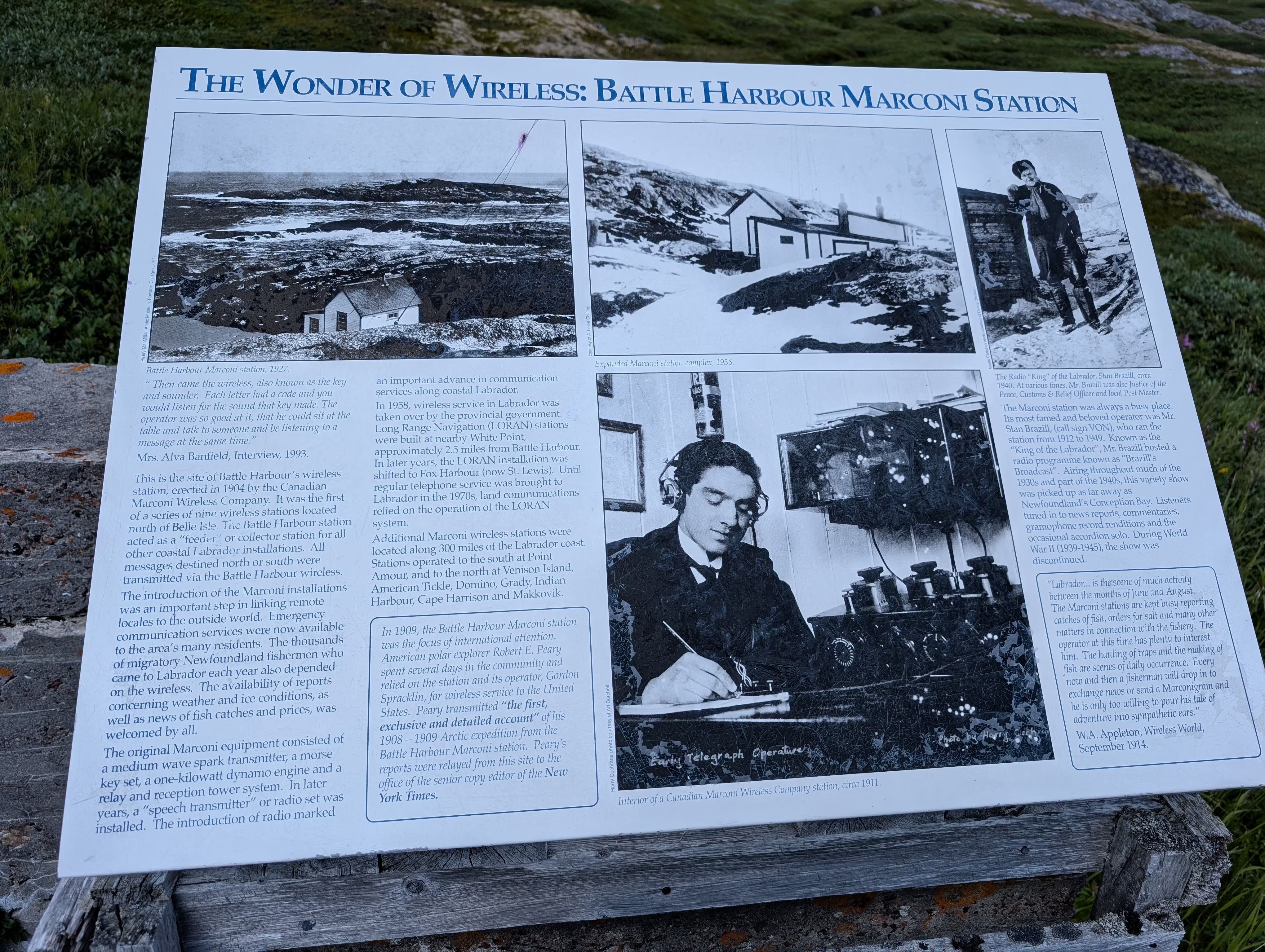
The walk ended returning to the church:
On the ferry ride back to Mary’s Habour, we got another good view of the Marconi towers:
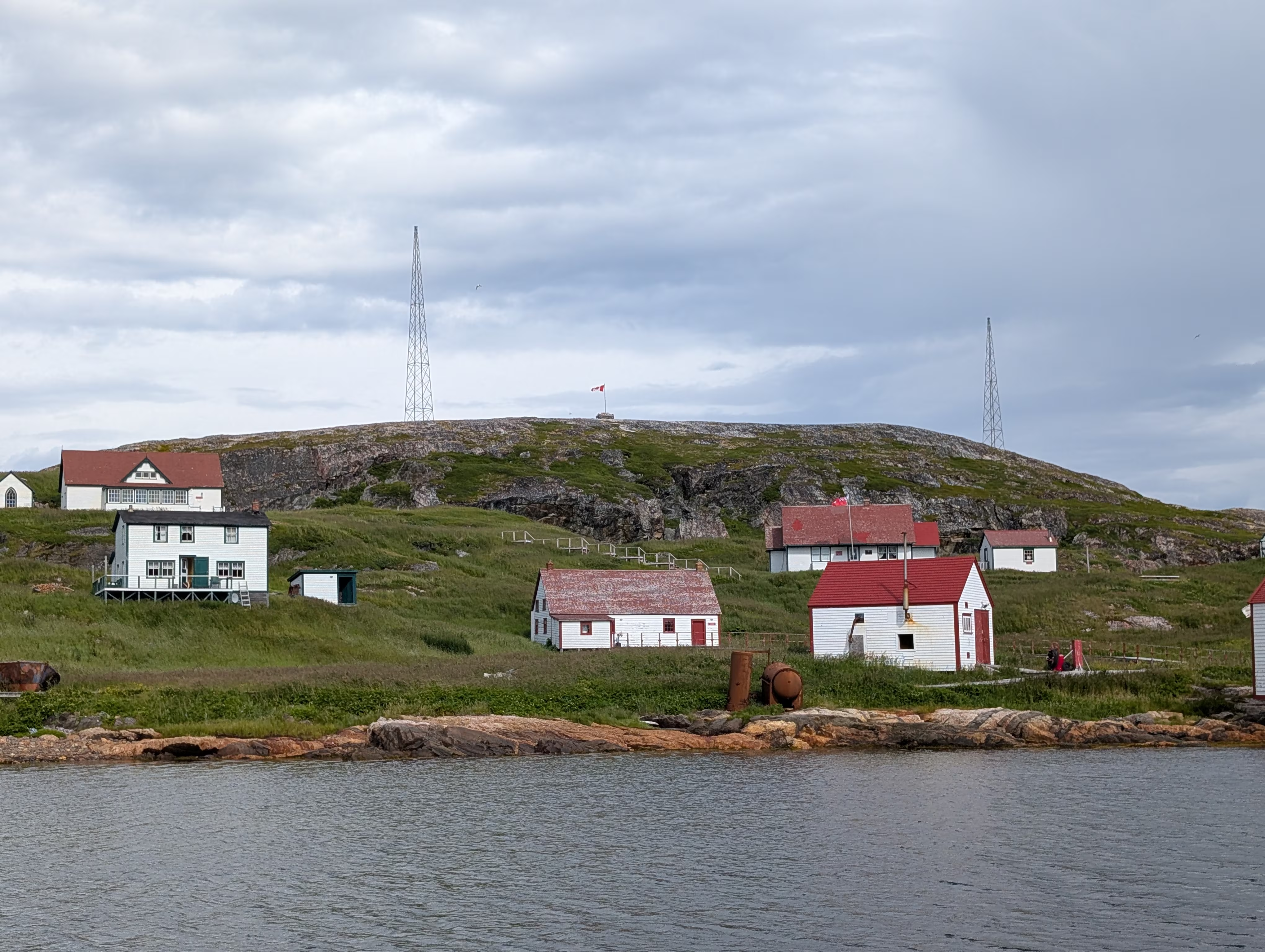
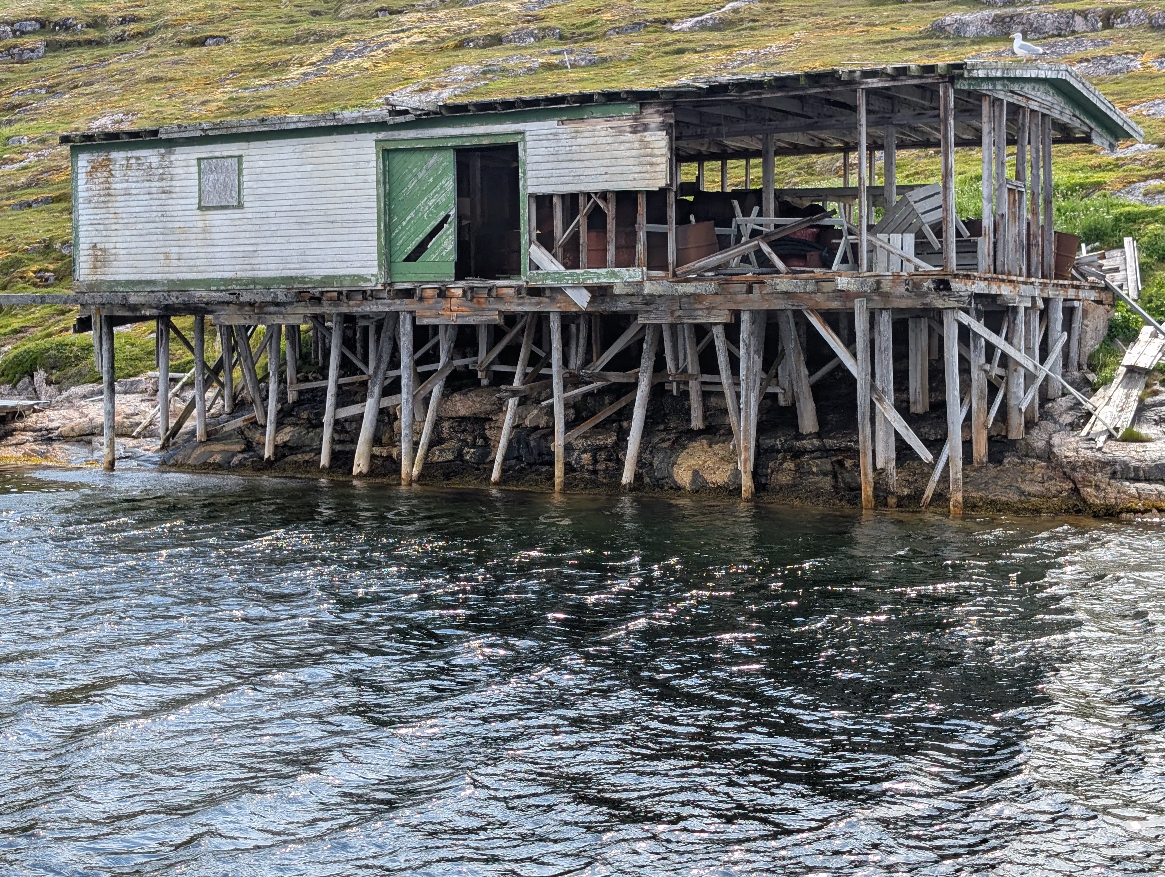
and of some of the strutures that were not salvageable by the Trust:
After our return ferry ride, we drove one hour to Red Bay for the evening.
These are our tracks for Saturday, Aug 02
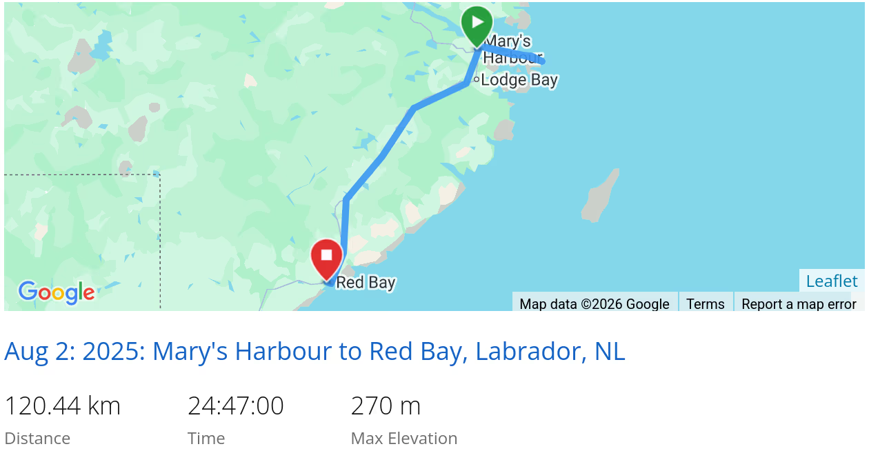 *click on the map for more details
That’s it for Southeast Coast (Labrador)
Next we are off to the Labrador Straits.
In case you had missed it, we came from Central Labrador.
When we are travelling, our current location is always available and updated every 10 minutes